Volusia County, Florida ~ Fishing Piers and Bridges
Seach our site below
Ames Park Fishing Dock 195 South Beach Street
Ormond Beach, FL 32174
1-386-676-3216
GPS 29° 16'50.55" N 81° 03'10.28" W
( Foot of pier )
Go to map of saltwater fishing piers and bridges in Volusia County
|
|
Operated by the City of Ormond Beach Ames Park offers a fishing pier which is 75' in length over The Halifax River, benches on the pier, picnic pavilion, playground, hand launch area near the pier & restrooms.

Bethune Point Recreation Area Fishing Pier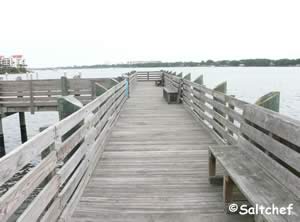 100 East Bellevue Avenue
Daytona Beach, FL 32114
GPS 29° 11'58.86" N 81° 00'27.93" W
( Foot of pier )
|
|
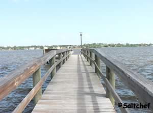
The Bethune Point Recreation Area pier is 100' in length over water with a 130' "T" at the end. There is also a section of pier that runs parallel to the shoreline, this portion has two shade structures and is a great place to sit and relax out of the sun, while taking in the sights. The park has a large picnic pavilion, very large covered grilling area & restrooms.
A boat ramp on site also.
Go to Video of the Bethune Point Recreation Area Fishing Pier.
Bicentennial Park Fishing Pier
 Closest intersection is;
John Anderson Drive & Sandra Drive
Ormond By The Sea, FL 32176
Parking is on the left 275 feet south of the above intersection on John Anderson Drive. Pier is on opposite side of the road from parking.
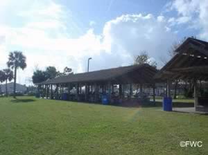
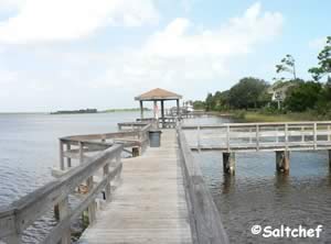
The pier is about 115 feet in length sitting parallel, about 50 feet off the shoreline, two shade structures with benches are at either end. Bicentennial Park is large and stretches from the ocean to the ICW, this address is for accessing the fishing pier area.
Click here to access the information for the oceanside of this park
GPS 29° 20'22.36" N 81° 04'11.94" W
( Walkway to pier )
Go to map of saltwater fishing piers and bridges in Volusia County
Ocean Tides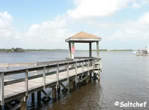
![]()
Intracoastal Tides![]()
Briggs Drive Fishing Dock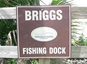 2500 Anderson Drive
Ormond Beach, FL 32176
GPS 29° 21'08.61" N 81° 04'30.74" W
|
|
Go to map of saltwater fishing piers and bridges in Volusia County
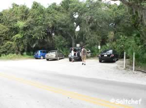
• Limited parking 4 - 5 cars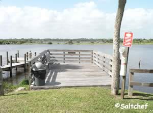 • 1/4 acre in size
• Hand launch kayak or canoe
• Trash can
Buena Vista Park Fishing Piers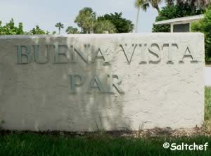 550 North Causeway Drive
New Smyrna Beach, FL 32169
GPS 29° 02'16.99" N 80° 54'29.17" W
( Foot of pier #1 )
GPS 29° 02'13.60" N 80° 54'29.77" W
( Foot of pier #2 )
|
|
Go to map of saltwater fishing piers and bridges in Volusia County
Buena Vista Park sits along the Indian River North and offers; 2 fishing piers with the longests pier near the bridge extending 250 feet over the water the other extends 90 feet into the water with a 45 foot "T" at the end, playground, picnic area and restrooms.
Go to Video of the Buena Vista Park Fishing Piers.
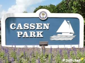
Cassen Park ~ Granada ~ Bailey Riverbridge Gardens Fishing Pier
 1 South Beach Street
Ormond Beach, FL 32174
1-386-676-3250
Hours: 5am - Midnight
GPS 29° 17'08.76" N 81° 03'14.98" W
( Foot of pier on south side portion of park )
GPS 29° 17'11.82" N 81° 03'17.42" W
( Foot of pier on north side portion of park )
|
|
Go to Video of the Cassen Park Fishing Pier.
Go to map of saltwater fishing piers and bridges in Volusia County
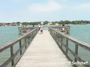
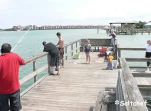
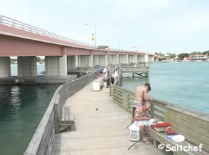
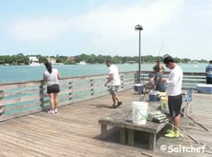
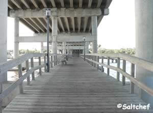
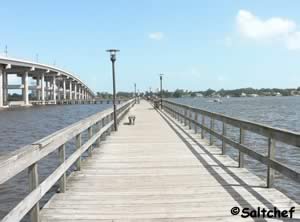
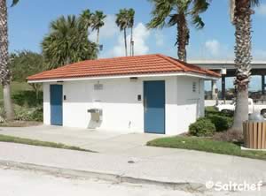
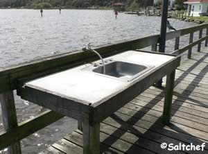
Cassen Granada offers; fishing pier, paths and restrooms. The pier is 1400 feet in length from end to end and loops around under the bridge and connects back to land on the north side, portions of the pier are under the shade of the bridge depending on time and the protection provided by the span above. The south side has a fish cleaning table. Restrooms are on the southside.
There is a boat ramp on site also.
City Island Park Fishing Pier
 Closest intersection is;
City Island Parkway & East Magnolia Avenue
Daytona Beach, FL 32114
GPS 29° 12'40.48" N 81° 00'58.43" W
( Above intersection )
GPS 29° 12'41.67" N 81° 00'55.46" W
( Foot of pier )
|
|
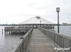
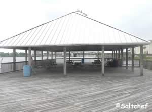
City Island Park operated by the City of Daytona Beach offers; fishing pier which is about 200 feet over the water with a large pavilion at the end, pavilions, grills, playground, ample parking and restrooms.
Colin's Park Fishing Pier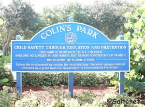 201 University Boulevard
Daytona Beach, FL. 32118
1-386-671-8337
GPS 29° 14' 21.61" N 81° 01' 23.10" W
( foot of pier )
NOAA Halifax River, Ponce Inlet, FL 8721138
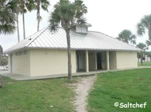
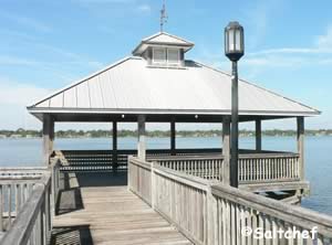
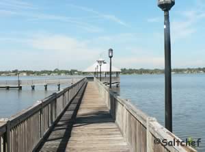
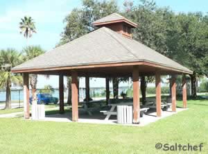
The fishing pier a Colin's Park over the eastern shore waters of the Halifax River offers; pier 225' in length with a large shaded area at the end, picnic pavilion, playground and restrooms.
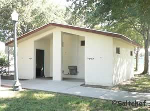
Fortunato Park Fishing Pier 2 John Anderson Drive
Ormond Beach, FL 32176
1-386-676-3216
Hours:
6:00am - 10:00pm
GPS 29° 17'20.17" N 81° 02'56.51" W
( Foot of pier )
GPS 29° 17'24.52" N 81° 02'53.56" W
( Park entrance )
Go to Video of the Fortunato Park Fishing Pier.
Go to map of saltwater fishing piers and bridges in Volusia County
|
|
Canoe / kayak launch ~ No motor boats, dock / pier, fishing, grill, picnic area, benches and restrooms.
Drop your canoe or kayak into the Halifax River and go fishing.
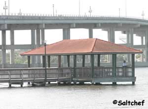
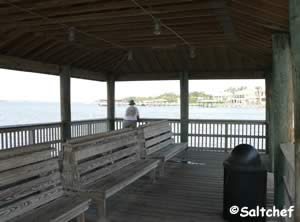
George Kennedy Memorial Park Fishing Pier ~ Deck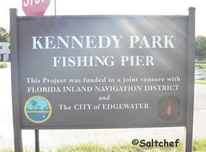 103 North Riverside Drive
Edgewater, FL 32132
1-386-424-2485
GPS 28° 59'36.52" N 80° 54'11.06" W
NOAA Ponce De Leon Inlet South, FL 8721147
Go to Video of the George Kennedy Memorial Park Fishing Pier ~ Deck.
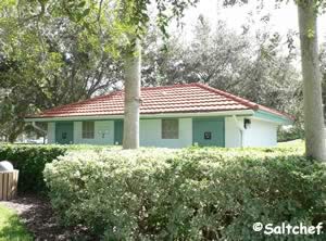
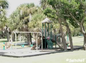
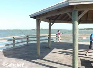
George Kennedy Memorial Park along the Indian River North is operated by the City of Edgewater and offers; fishing pier, 2 small pavilions, picnic tables, hand launch, restrooms and boat ramp.
Halifax Harbor Marina Fishing Pier 450 Basin Street
Daytona Beach, FL 32114
1-386-671-3601
GPS 29° 12'14.42" N 81° 00'41.25" W
( Fishing pier )
Go to map of saltwater fishing piers and bridges in Volusia County
|
|
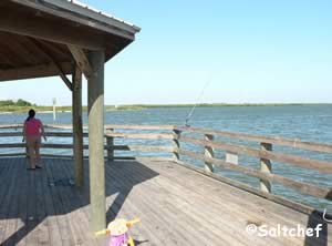
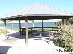
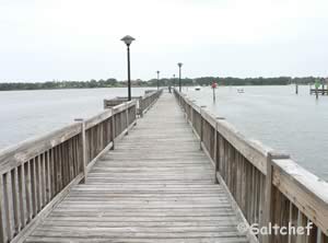
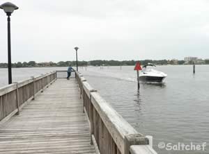
The fishing pier at Halifax Harbor marina is about 240' in length.
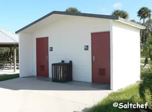
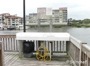
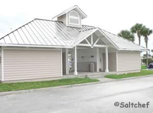
There is a fish cleaning station on the pier. Restrooms are also available.
The Halifax Harbor Boat Ramp on site also
Go to Video of the Halifax Harbor Park Fishing Pier.
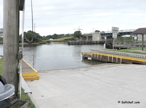
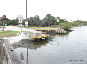
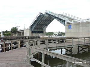
High Bridge Park Fishing Dock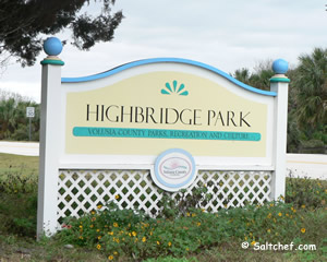 39 High Bridge Road
Ormond Beach, FL 32176
GPS 29° 24'30.35" N 81° 06'01.01" W
( Waters edge at ramp )
Go to map of saltwater fishing piers and bridges in Volusia County
|
|
Hours:
Sunrise to Sunset
Fishing pier under bridge, picnic tables, grills pavilion and restrooms
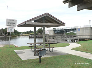
Indian River Lagoon Preserve Fishing Pier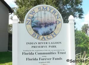 700 Sandpiper Street
New Smyrna Beach, FL 32168
386-428-4828
GPS 29° 00'18.94" N 80° 53'01.42" W
( Entrance to park )
GPS 29° 00'12.65" N 80° 53'13.17" W
( Foot of pier )
No reliable tide data is available.
Go to map of saltwater fishing piers and bridges in Volusia County
Comprising 200 acres of natural uplands and wetlands along Brown's Bay. Indian River Lagoon Preserve park offers; fishing piers, picnic pavilion, kayak launch, nature walk and a 2/3 mile trail. The dock offers easy access into Brown's Bay.
Lighthouse Point Park Fishing Jetty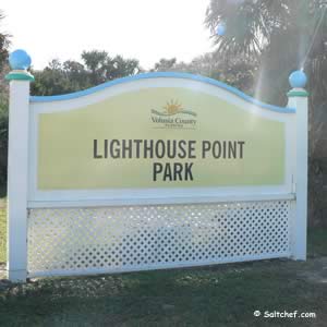 5000 South Atlantic Avenue
Ponce Inlet, FL 32127
Hours:
6:00 am - Sunset
Fees:
• $5.00 per vehicle to access beach and jetty area.
• No fee if you walk or bicycle in.
• Access into the lighthouse is payable at the
lighthouse visitor center.
Click here for lighthouse admission fees.
GPS 29° 04'40.76" N 80° 55'19.09" W
( Entrance to park )
Go to map of saltwater fishing piers and bridges in Volusia County
|
|
Lighthouse Point Park offers; fishing jetty, shoreline fishing, surf fishing, beach access, swimming, surfing, wooden walkways, restrooms and beautiful dynamic scenery of the Ponce Inlet.
Please remember that no dogs are allowed on the ocean beach or jetty. Dogs are only permitted on the Intracoastal beach while leashed.
Fishing license is needed to fish whether on the jetty or from the beach. The paved portion of the jetty is 1000 feet in length.
Main Street Bridge
Daytona Beach, FL 32120
GPS 29° 13'23.73" N 81° 01'02.53" W
( Center of the bridge )
NOAA Halifax River, Ponce Inlet, FL 8721138
Go to map of saltwater fishing piers and bridges in Volusia County
Main Street Pier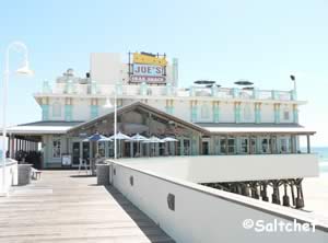 Main Street & Ocean Avenue
Daytona Beach, FL 32118
GPS 29° 13'37.50" N 81° 00'24.46" W
( Foot of pier )
NOAA Daytona Beach Shores, FL 8721120
Go to map of saltwater fishing piers and bridges in Volusia County
Manatee Island Park Fishing Pier 351 North Beach Street
Daytona Beach, FL 32114
1-386-258-3106
Hours; Sunrise - Sunset
GPS 29° 13'06.90" N 81° 1'19.85" W
( At street )
GPS 29° 13'08.99" N 81° 1'10.79" W
( Foot of pier )
NOAA Halifax River, Ponce Inlet, FL 8721138
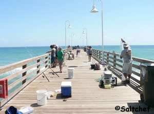
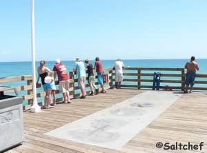
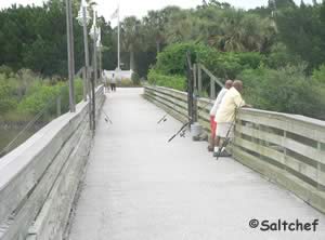
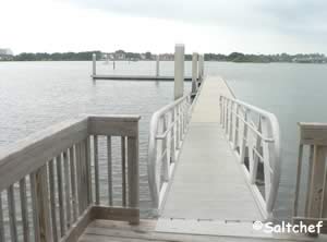
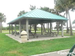
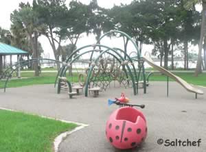
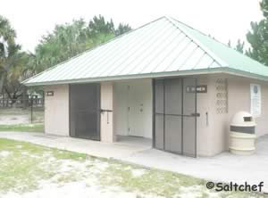
Manatee Island Park in Daytona Beach offers; a fishing pier / dock which is about 200 feet in length over the water and has a 60 foot "L" at the end, pavilions, picnic areas, small playground & restrooms. You can also fish on the bridge that connects the island with the mainland.
Mary McLeod Bethune Intracoastal Fishing Dock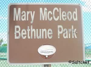 Closest intersection is;
Engram Road & Ladyfish Avenue
New Smyrna Beach, FL 32169
Parking lot is 150 feet south on Engram from above intersection.
GPS 28° 56'58.61" N 80° 50'28.63" W
( Corner of fishing dock )
NOAA Ponce De Leon Inlet South, FL 8721147
Menard May Park Fishing Pier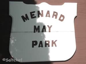 413 South Riverside Drive
Edgewater, FL 32132
1-386-424-2485
GPS 28° 59'22.68" N 80° 54'03.83" W
( Foot of pier )
Go to map of saltwater fishing piers and bridges in Volusia County
|
|
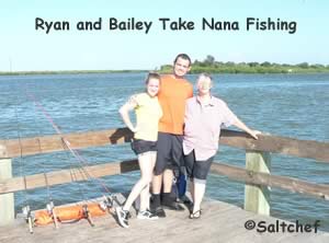
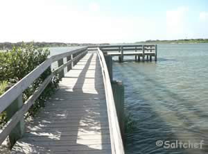
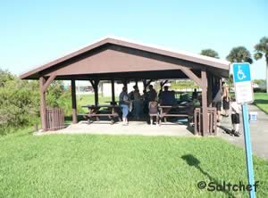
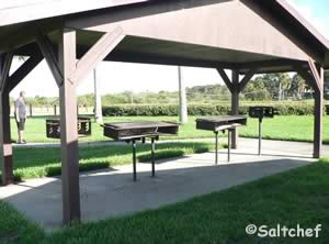
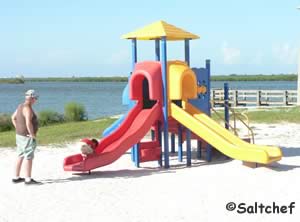
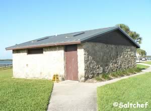
Menard May Park on the North Indian River in Edgewater, Florida offers; restrooms, pavilions, picnic tables, grills, playground, fishing pier and natural boat / hand launch.
North Causeway Park Fishing Pier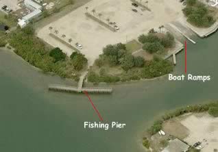 About 1/10 of a mile east of the intersection of;
North Causeway Drive & Quay Assisi
New Smyrna Beach, Fl 32169
On the opposite side of the road
GPS 29° 01'53.25" N 80° 54'57.43" W
( Foot of pier )
Go to map of saltwater fishing piers and bridges in Volusia County
|
|
The entrance to find the pier is not the easiest, in the southeast corner of the parking lot closest to the western area ramp.
There are boat ramps on site also.
Go to Video of the North Causeway Park Fishing Pier.
Oak Hill Fishing Pier
247 River Road
Oak Hill, FL 32759
GPS 28° 52'21.96" N 80° 50'21.56" W
Go to map of saltwater fishing piers and bridges in Volusia County
|
|
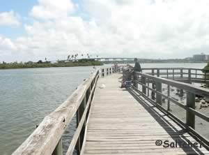
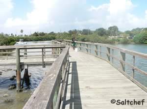
The Oak Hill fishing pier extends 500' over The Mosquito Lagoon. No lights on pier. No public restrooms. A few shaded areas along the pier with benches. Bring your fishing pole & license & have great time.
Go to Video of the Oak Hill Fishing Pier.
Ponce Preserve ~ Green Mound Fishing Pier Closest intersection is;
South Peninsula Drive & Carraige
Ponce Inlet, FL 32127
From the above intersection about 3/10ths of a mile south on South Peninsula and parking lot will be on the left.
GPS 29° 06'46.70" N 80° 57'15.67" W
NOAA Halifax River, Ponce Inlet, FL 8721138
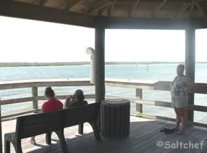
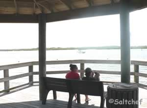
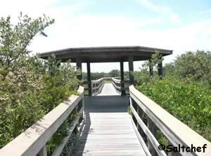
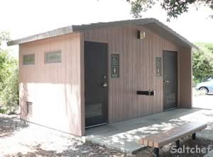
The walkway to the fishing pier is across the street, it about an 1800 foot walk to the pier from the parking area at South Peninsula Drive.
Port Orange Causeway Fishing Pier ~ East Side Under Bridge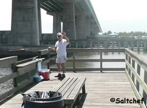 Closst intersection is;
Dunlawton Avenue and South Peninsula Drive
Florida, 32118
Once your at this intersection go onto South Peninsula Drive in either direction and then turn into access road going under the bridge, pier is more on the northerly side.
GPS 29° 08'56.54" N 80° 58'27.37" W
( Foot of pier )
NOAA Halifax River, Ponce Inlet, FL 8721138
The Port Orange Causeway fishing pier is about 150' in length over the eastern waters of the Halifax River.
Port Orange Causeway Fishing Piers ~ West Side
93 Dunlawton Avenue
Port Orange, FL 32127
GPS for entrance heading westbound on
Dunlawton / North Ocean / 1A
29° 08'47.19" N 80° 58'47.33" W
GPS for entrance heading eastbound on
Dunlawton / North Ocean / 1A
29° 08'46.17" N 80° 58'46.67" W
GPS 29° 08'52.79" N 80° 58'35.69" W
( Fishing pier #1 under bridge )
GPS 29° 08'44.55" N 80° 58'54.52" W
( Fishing pier #2 further west in park ~ "T" shaped pier )
Go to map of saltwater fishing piers and bridges in Volusia County
|
|
Pier 1 runs in different direction under the bridge affording a multitude of choices.
Pier 2 is on the western end of the park and is 120 feet out over the water with a 200 "T" at the end.
River Front Park Fishing Pier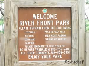 3431 Ridgewood Avenue
Port Orange, FL 32129
1-386-506-5852
GPS 29° 08'57.10" N 80° 59'24.60" W
( Entrance )
GPS 29° 08'59.39" N 80° 59'20.25" W
( Foot of pier )
NOAA Halifax River, Ponce Inlet, FL 8721138
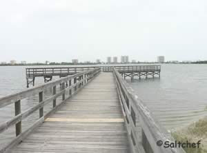
The River Front Park pier is a 150' in length over the western shores Halifax River, and has a 120' "T" on the end.
Go to Video of the River Front Park Fishing Pier.
Riverfront Veterans Memorial Park Fishing Pier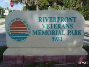 1933 South Palmetto Avenue
South Daytona, FL 32119
1-386-322-3070
GPS 29° 10'33.16" N 81° 00'02.40" W
( Foot of pier )
Go to map of saltwater fishing piers and bridges in Volusia County
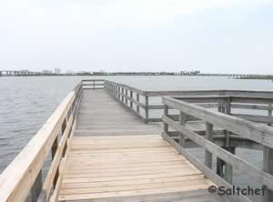
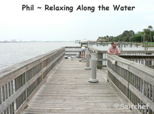
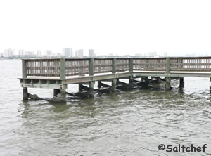
Riverfront park offers a fishing pier which is 45 feet over the water and has a 60 foot "T" at the end, boat ramp, playground, picnic area, kayak launch and restrooms.
Go to Video of the Riverfront Veterans Memorial Park Fishing Pier.
River Bend Nature Park Fishing Dock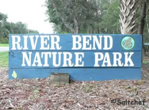 775 Airport Road
Ormond Beach, FL 32174
Address does not populate well use GPS
1-386-676-3250
GPS 29° 17'56.27" N 81° 06'20.00" W
( Entrance )
GPS 29° 17'54.87" N 81° 06'16.90" W
( Foot of dock )
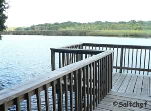
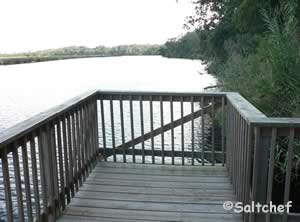
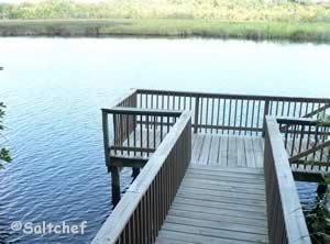
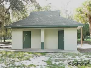
Located in Ormond Beach the River Bend Nature Park sits along the Tomoka River and offers; Fishing deck, restrooms, playground & picnic area.
Riverbreeze Park Fishing Pier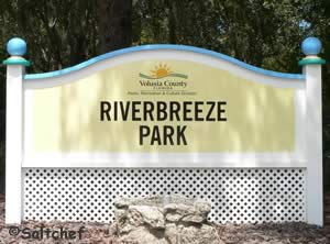 250 H.H. Burch Road
Oak Hill, Fl 32759
1-386-322-5133
GPS 28° 53'41.22" N 80° 51'13.12" W
( Entrance )
GPS 28° 53'50.26" N 80° 51'16.43" W
( Foot of pier )
GPS 28° 53'54.83" N 80° 51'06.62" W
( Waters edge at ramp )
Go to map of saltwater fishing piers and bridges in Volusia County
|
|
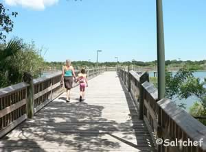
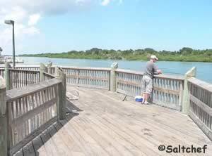
The fishing pier a Riverbreeze Park is about 215 feet in length over the waters of the Mosquito Lagoon and has an interesting circle feature built into the "T" at the end of the pier. Fishing is only permitted on the pier in Riverbreeze Park, the shorelines are considered protected. There is a boat ramp on site also.
Go to Video of the Riverbreeze Park Fishing Pier.
Rivershore / Oceanshore Fishing Dock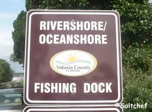 1658 John Anderson Drive
Ormond Beach, FL 32176
1-386-736-5953
GPS 29° 19'51.14" N 81° 03'59.92" W
( Foot of dock )
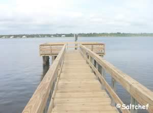
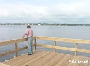
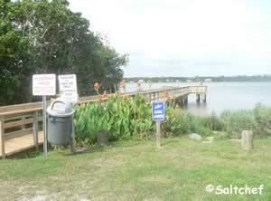
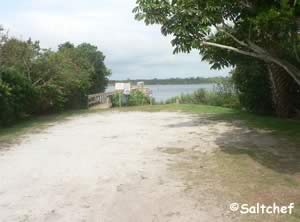
Fishing dock is a bout 90 feet in length over the eastern shores of the Halifax River, kayak / canoe hand launch. Parking for about 8 - 10 cars.
Riverside Park Holly Hill Fishing Pier
Smokey Yunick Way
Holly Hill, Florida 32169
GPS 29° 13'53.94" N 81° 01'35.82" W
( Foot of pier )
The Riverside Park of Holly Hill fishing pier is 225 feet in length and has 2 shaded areas with benches, trash can, 12 parking spaces and restrooms. This facility can be rented and is considered a special venue with different rules. Contact the City of Holly Hill for details.
Not on map or navigation yet
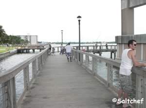
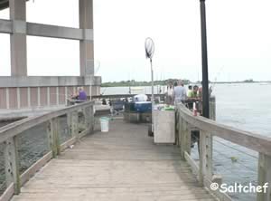
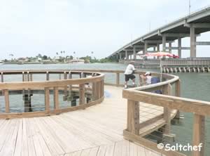
Riverside Park Fishing Pier & Decks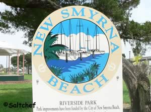 105 South Riverside Drive
New Smyrna Beach, FL 32168
1-386-424-2175
Hours: Sunrise to Sunset
GPS 29° 1'22.73" N 80° 55'11.08" W
( Entrance to main fishing pier parking under bridge )
NOAA Ponce De Leon Inlet South, FL 8721147
Go to Video of the Riverside Park Fishing Pier and Decks.
Riviera Park Fishing Pier 901 South Beach Street
Ormond Beach, FL 32174
1-386-676-3250
Hours: Open daily from sunrise to 11:00 pm
GPS 29° 15'50.48" N 81° 02'37.77" W
( Foot of pier )
Go to Video of the Riviera Park Fishing Pier.
Go to map of saltwater fishing piers and bridges in Volusia County
|
|
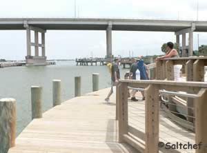
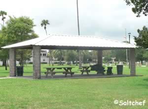
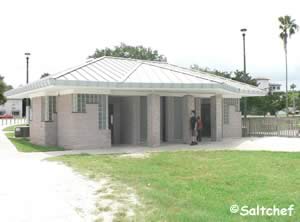
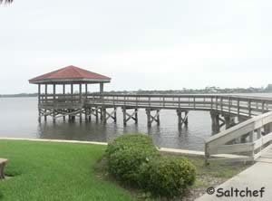
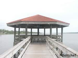
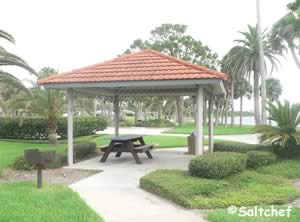
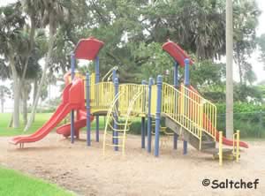
Riviera Park amenities include; Dock / pier, fishing, outdoor grill, parking, picnic area, playground, and walk / jog bike path on 5.7 acres.
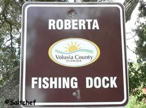
Roberta Drive Fishing Dock
 199 Roberta Drive
Ormond Beach, FL 32176
1-386-736-5953
GPS 29° 20'02.27" N 81° 04'03.00" W
Go to map of saltwater fishing piers and bridges in Volusia County
|
|
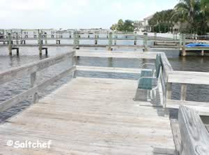
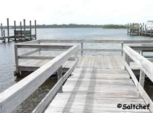
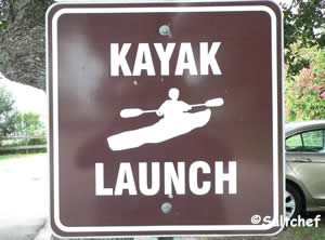
Parking for about 7 cars, bench on pier, 1/4 acre, hand launch kayak or canoe and trash receptacle. There are no restroom facilities at this location.
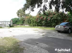

Rocco Park Fishing Pier Sunset Drive and South Street
New Smyrna Beach, FL 32169
GPS 29° 03'18.23" N 80° 57'36.02" W
( Foot of pier )
Go to map of saltwater fishing piers and bridges in Volusia County
|
|
Rocco Park is located on Turnbull Bay and offers; a fishing pier about 100' in length over the water, playground, picnic area & restrooms.
Go to Video of the Rocco Park Fishing Pier.

Ross Point Picnic Area Fishing Pier 611 Riverside Drive
Holly Hill, FL 32117
1-386-248-9432
GPS 29° 14'15.61" N 81° 01'54.95" W
( Entrance )
GPS 29° 14'17.62" N 81° 01'53.61" W
( Foot of pier )
|
|
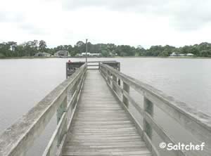
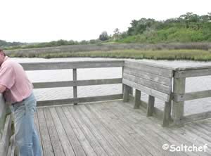
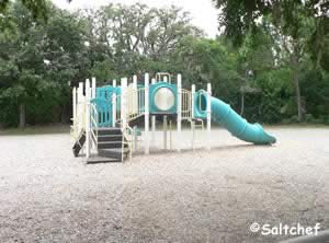
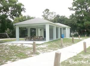
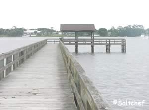
The Ross Point Picnic Area fishing pier about 300' in length with a 50 foot "L" at the end. Other amenities include; Shade structure at end of pier, pavilions & playground.
Go to Video of the Ross Point Picnic Area Fishing Pier.

Sanchez Park Fishing Pier ~ Cameron Brenneman Memorial Pier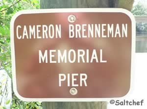 Closest intersection is;
Sanchez Avenue & Andrews Street
Ormond Beach, FL 32174
Entrance is 400 feet west on Sanchez Avenue from the above intersection.
GPS 29° 17'52.47" N 81° 04'26.34" W
( Entrance to fishing pier closest to boat ramp )
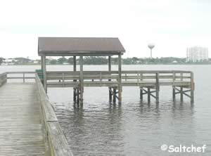
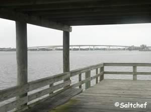
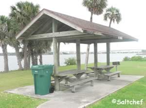
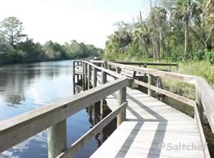
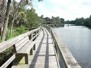
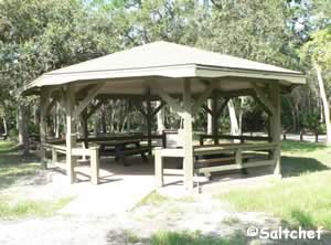
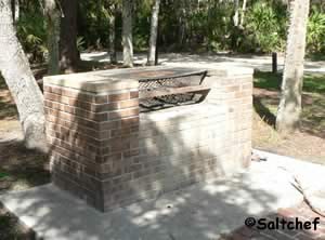
The Cameron Brenneman Memorial Pier at Sanchez Park runs for 335 feet along the eastern shores of the Tomoka River. Benches along the pier give opportunities to relax and take in the serenity of the area. The park has a gazebo type pavilion with a beautiful large brick grill that can grill large quanities of food.
There is a Boat ramp on site also.

San Jose Fishing Dock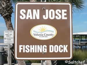 2591 John Anderson Drive
Ormond Beach, FL 32176
GPS 29° 21'22.10" N 81° 04'36.42" W
Go to map of saltwater fishing piers and bridges in Volusia County
|
|
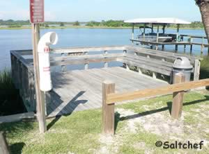
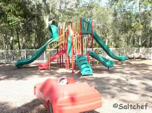
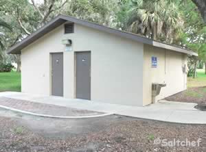
The San Jose fishing dock in Ormond Beach sits along the eastern shores Halifax River and offers; fishing, monofilament recycling, 2 parking spaces, benches on dock and a trash receptacle. No restrooms are at this location.

Sickler Park ~ Seabreeze Bridge Fishing Pier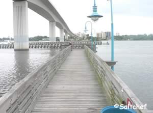 865 Ballough Road
Daytona Beach, FL 32114
GPS 29° 13'49.71" N 81° 01'24.38" W
( Foot of pier )
GPS 29° 13'45.70" N 81° 01'29.07" W
( Entrance to park )
Go to map of saltwater fishing piers and bridges in Volusia County
|
|
The Seabreeze Bridge / Sickler Park pier is about 100 feet in length. No restrooms at this location.
Go to Video of the Sickler Park Fishing Pier.

Seabridge Riverfront Park Fishing Dock 3570 John Anderson Drive
Ormond Beach, FL 32176
1-386-736-5953
Hours:
Sunrise to Sunset
GPS 29° 22'53.82" N 81° 05'13.01" W
Go to map of saltwater fishing piers and bridges in Volusia County
|
|
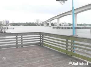
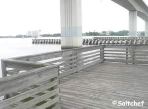
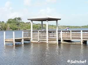
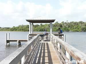
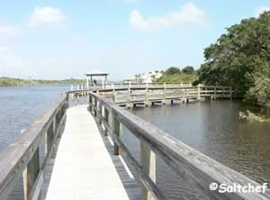
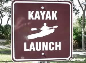
Seabridge Riverfront Park is 3 acres in size and offers; shaded picnic area, shaded fishing pier, hand launch kayak / canoe & parking for about 6 cars.

Spruce Creek Park Fishing Pier
 6250 Ridgewood Avenue
Port Orange, FL 32127
GPS 29° 05'35.34" N 80° 58'25.84" W
( Foot of pier )
GPS 29° 05'40.55" N 80° 58'15.00" W
( Entrance to park )
Go to map of saltwater fishing piers and bridges in Volusia County
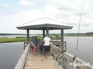
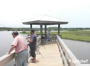
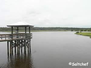
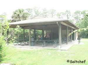
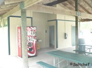
Spruce Creek park in Port Orange sits on 1637 acres and offers; fishing, fishing pier, hand launch, pavilion, picnicking, playground, horseback riding, camping, observation tower and restrooms.
Go to Video of the Spruce Creek Park Fishing Pier.


Sunglow Ocean Fishing Pier 3701 South Atlantic Avenue
Daytona Beach, FL 32118
GPS 29° 08'45.39" N 80° 57'58.09" W
Go to map of saltwater fishing piers and bridges in Volusia County
|
|
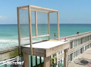

Sunrise Park North Fishing Piers ( 3 )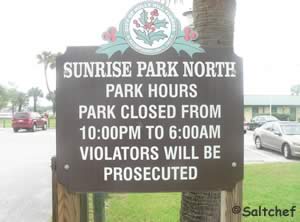 1135 Riverside Drive
Holly Hill, FL 32117
1-386-248-9432
GPS 29° 14'55.36" N 81° 02'14.16" W
( Entrance to park )
GPS 29° 14'57.64" N 81° 02'05.73" W
( Foot of pier 1 )
GPS 29° 14'55.72" N 81° 02'07.34" W
( Foot of pier 2 )
GPS 29° 14'51.24" N 81° 02'10.46" W
( Foot of pier 3 )
Go to Video of the Sunrise Park North Fishing Piers.
Go to map of saltwater fishing piers and bridges in Volusia County
|
|
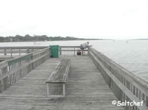
Fishing pier 1 is about 330' in length with a 55' "L" at end with a bench.
Fishing pier 2 is about 100' in length with a nice shade structure at end.
Fishing pier 3 is about 380' in length.
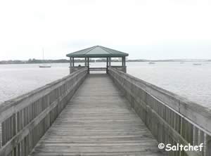
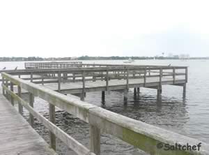
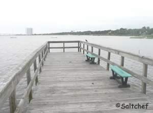
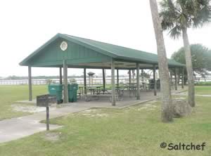
The piers go out over the western shores of the Hailfax River. Pavilions and restrooms are available within the park. There is a boat ramp and hand launch on site also.

Veterans Park Fishing Pier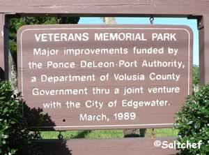 East Indian River Boulevard & South Riverside Drive
Edgewater, FL 32132
1-386-424-2485
GPS 28° 58'23.13" N 80° 53'30.90" W
( Foot of pier )
GPS 28° 58'22.53" N 80° 53'35.44" W
( Entrance to park )
Go to map of saltwater fishing piers and bridges in Volusia County
|
|
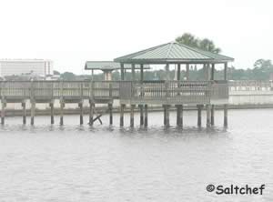
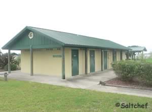
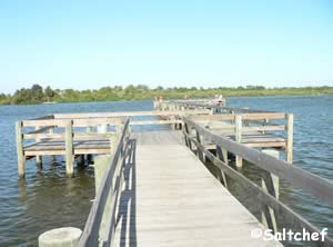
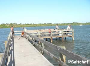
Veterans Park is operated by the City of Edgewater and offers; a fishing pier which is 180' in length over waters of the Indian River, picnic tables, small playground & restrooms.
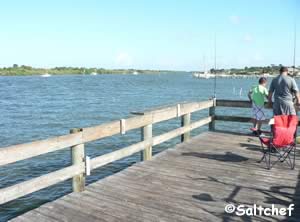
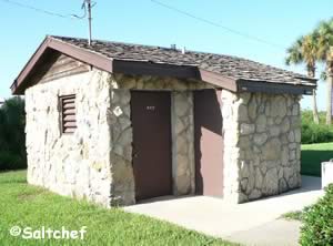

Walter Boardman Lane Fishing Bridge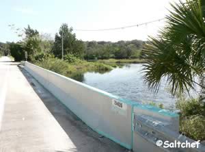 Closest intersection is;
High Bridge Road and Walter Boardman Lane
Flagler Beach, FL 32136
Bridge is 900' west on Walter Boardman Lane from above intersection. Parking area is on the southwestern side of the bridge.
GPS 29° 24'27.56" N 81° 07'18.73" W
( Middle of bridge )
Go to map of saltwater fishing piers and bridges in Volusia County
Bridge crosses Bulow Creek and offers easy access to fishing. There is a parking area that has a trash can and a hand launch area for those that have a canoe or kayak.
|
|

Useful Links
| Public Fishing Piers & Bridges in Volusia County Florida |
| Areas in Volusia County Florida Include; Daytona, Ormond by the Sea, Ormond Beach, Holly Hill, Daytona Beach, Daytona Beach Shores, Port Orange, Ponce Inlet, New Smyrna Beach, Edgewater, Deltona, Osteen, DeLand and Orange City. |
| Bodies of Brackish & Saltwater in Volusia County Florida Include; Atlantic Ocean, Big Cove, Big Snapper Cut, Blind Spruce Creek, Botheration Creek, Bottle Island Creek, Browns Bay, Bulow Creek, Callalisa Creek, Canal Bradano, Canal Calore, Cedar Creek, Cook Creek, Dead End Creek, Elwinder Creek, Fox Slip, Gaines Slough, Halifax Canal, Halifax Creek, Halifax River, Hunter Creek, Indian River North, Inlet Creek, Intracoastal Waterway, Little Snapper Cut, Live Oak Creek, Lost Creek, Mill Creek, Mosquito Lagoon, Murray Creek, Orange Island Creek, Ponce de Leon Cut, Potts Creek, Rockhouse Creek, Rose Bay, Sheephead Cut, Shipyard Canal, Slippery Creek, Smyrna Creek, Snake Creek, Spruce Creek, Strickland Creek, Ten Mile Creek, Thompsons Creek, Tomoka Basin, Tomoka River, Turnbull Bay, Turnbull Creek, Turner Flats, Webster Creek and Wilbur Bay. |
![]() Home
Home
![]() About
About
![]() Sitemap
Sitemap
![]() Credits
Credits
![]() Privacy
Privacy
![]() Advertise
Advertise
![]() Contact
Contact
![]()
