Volusia County, Florida ~ County and City Parks
- National &
State Parks - County &
City Parks - Beaches
Volusia - Boat Ramps
Volusia - Fishing Piers
Volusia - Map for
this page - Parks in
Adjoining
Counties
Fishing at County and City Parks in Volusia County, Florida
Seach our site below
Al Weeks North Shore Park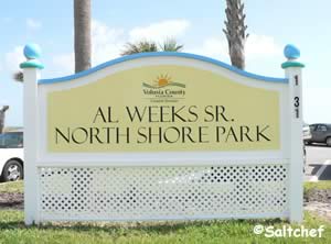
1631 Oceanshore Boulevard
Ormond-by-the-Sea, FL 32176
GPS 29° 20'00.07" N 81° 03'32.56" W
Go to map of County and City Parks in Volusia County with saltwater fishing
|
|
Bicentennial Park ~ Michael Crotty ~ Ocean Side
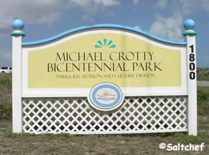 1800 North Oceanshore Boulevard
Ormond Beach, FL 32176
1-386-736-5953
Sunrise to Sunset
GPS 29° 20'24.137" N 81° 03'43.61" W
Go to map of County and City Parks in Volusia County with saltwater fishing
|
|
Hours:
Sunrise to Sunset
This park stretches the full width of the island from the Halifax River to the Atlantic.
Callalisa Park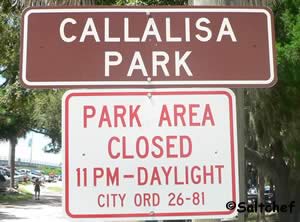 Closest intersection is;
East Second Avenue & South Peninsula Avenue
New Smyrna, FL 32169
1-386-424-2175
GPS 29° 1'47.86" N 80° 54'10.05" W
( Entrance into park )
GPS 29° 1'46.07" N 80° 54'13.90" W
( Hand launch into Callalisa Creek )
NOAA Ponce De Leon Inlet South, FL 8721147
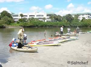
Hand launch into Callalisa Creek, picnic, fishing, no restrooms on site.
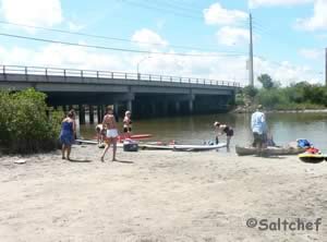
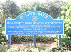
Colin's Park
 Closest intersection is;
North Halifax Avenue & University Boulevard
Daytona Beach, FL. 32118
Park is 500 feet west on University Boulevard from the above intersection.
1-386-671-8337
GPS 29° 14'22.70" N 81° 01'22.21" W
NOAA Ormond Beach, FL 8720954
Colin's Park offers; Fishing pier, picnic pavilion and playground.
Flagler Avenue Park
Flagler Avenue
New Smyrna Beach, FL 32169
GPS 29° 02'18.79" N 80° 53'45.85" W
Go to map of County and City Parks in Volusia County with saltwater fishing
|
|
If you want to drive on the beach check out the fees and general regulations
Frank Rendon Park 2705 Atlantic Avenue
Daytona Beach Shores, FL 32118
GPS 29° 10'48.27" N 80° 59'05.39" W
Go to map of County and City Parks in Volusia County with saltwater fishing
|
|
Fortunato Park 2 John Anderson Drive
Ormond Beach, FL 32176
1-386-676-3216
GPS 29° 17'24.52" N 81° 02'53.56" W
( Park entrance )
|
|
Fortunato Park offers; Shoreline fishing, fishing pier, kayak launching, playground and restrooms.
George Kennedy Park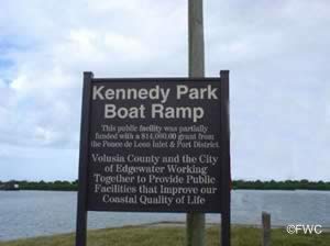 103 North Riverside Drive
Edgewater, FL 32132
GPS 28° 59'37.20" N 80° 54'12.83" W
( Waters edge at ramp )
Go to map of County and City Parks in Volusia County with saltwater fishing
|
|
Huegenot Park
401 North Beach Street
Ormond Beach, FL 32174
386-676-3250
Sunrise to Sunset
GPS 29° 17'45.75" N 81° 03'37.22" W
( Entrance )
Indian River Lagoon Preserve Park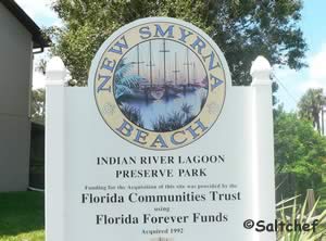 700 Sandpiper Avenue
New Smyrna Beach, FL 32169
1-386-424-2175
GPS 29° 00'18.97" N 80° 53'01.39" W
NOAA Ponce De Leon Inlet South, FL 8721147
Fishing, hand launch kayak / canoe, picnic area and restrooms.
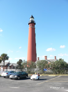
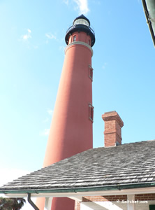
Lighthouse Point Park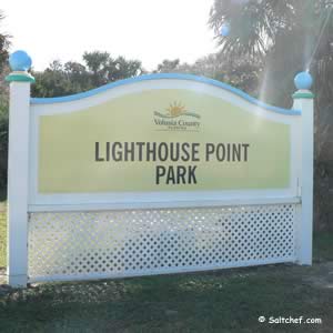 5000 South Atlantic Avenue
Ponce Inlet, FL 32127
GPS 29° 04'40.76" N 80° 55'19.09" W
Go to map of County and City Parks in Volusia County with saltwater fishing
|
|
Hours:
6:00am - Sunset
Fees:
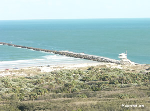
• $5.00 per vehicle to access beach and jetty area.
• No fee if you walk or bicycle in.
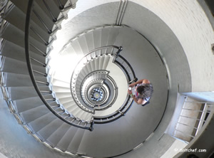
• Access into the lighthouse is payable at the
lighthouse visitor center.
Click here for lighthouse admission fees.
No dogs on the ocean beach or jetty. Dogs only permitted on the Intracoastal beach while leashed. Fishing license needed to fish whether on the jetty or from the beach.
Manatee Island Park 351 North Beach Street
Daytona Beach, FL 32114
1-386-258-3106
GPS 29° 13'06.90" N 81° 1'19.85" W
( At street )
GPS 29° 13'08.99" N 81° 1'10.79" W
( Foot of pier )
NOAA Ormond Beach, FL 8720954
Manatee Island Park is located in the Halifax River and offers; Fishing pier, pavilions, ampitheater, playground and restrooms.
Mary McLeod Park on Intracoastal Side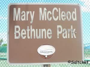 Closest intersection is;
Ladyfish Avenue & Engram Road
New Smyrna Beach, FL 32169
Entrance is 150 feet down Engram from the above intersection.
GPS 28° 57'01.18" N 80° 50'26.40" W
( Entrance to parking lot )
Mary McCleod Park on the intracoastal side offers; fishing from a fishing deck, playground, sand volleyball court and restrooms.
Mary McLeod Bethune Beach Park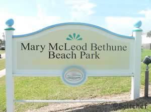 6656 South Atlantic Avenue
New Smyrna Beach, FL 32169
GPS 28° 57'05.93" N 80° 50'26.39" W
Go to map of County and City Parks in Volusia County with saltwater fishing
|
|
Hours:
Sunrise to Sunset
Mary McCleod Beach Park offers; Surf fishing with respect to swimmers, swimming, small fishing dock which is on Intracoastal side of the park you can also hand launch a canoe or kayak into the Intracoastal waterway , picnic pavilions, playground and restrooms.
River Bend Nature Park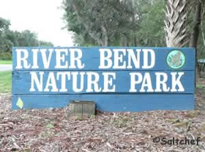 775 Airport Road
Ormond Beach, FL 32174
Above address does not populate well, use GPS if possible.
1-386-676-3250
Hours: Sunrise to Sunset
GPS 29° 17'56.12" N 81° 06'19.89" W
( Park entrance )
NOAA Ormond Beach, FL 8720954
Fishing pier, restrooms, playground and picnic area.
Riverbreeze Park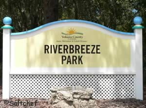 250 H.H. Burch Road
Oak Hill, Fl 32759
1-386-322-5133
GPS 28° 53'41.22" N 80° 51'13.12" W
( Entrance )
GPS 28° 53'54.83" N 80° 51'06.62" W
( Waters edge at ramp )
Minimal tides.
Go to map of County and City Parks in Volusia County with saltwater fishing
|
|
Riverbreeze Park located along Indian River North offers; fishing pier, boat ramp, picnic pavilions, restrooms.
Riverside Park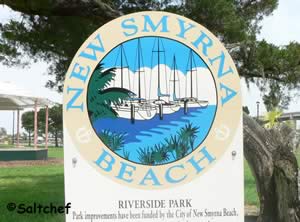 105 South Riverside Drive
New Smyrna Beach, FL 32168
1-386-424-2175
GPS 29° 01'27.71" N 80° 55'13.19" W
NOAA Ponce De Leon Inlet South, FL 8721147
Riverside Park offers; Fishing pier / docks, playgorund with sail shades, picnic areas and restrooms.
River Front Park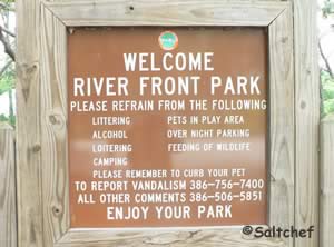 3431 Ridgewood Avenue
Port Orange, FL 32129
1-386-506-5852
GPS 29° 08'57.10" N 80° 59'24.60" W
( Entrance )
NOAA Halifax River, Ponce Inlet, FL 8721138
River Front Park along the halifax River offers; Fishing pier, picnic pavilion, playground and restrooms.
Riviera Park 901 South Beach Street
Ormond Beach, FL 32174
1-386-676-3250
Hours: Sunrise to 11:00pm
GPS 29° 15'48.85" N 81° 02'40.16" W
( Entrance )
NOAA Halifax River, Ponce Inlet, FL 8721138
Riviera Park is 5.7 acres in size and offers; Fishing pier, playground, pavilion and grills.
Ross Point Park 611 Riverside Drive
Holly Hill, FL 32117
1-386-248-9432
GPS 29° 14'15.61" N 81° 01'54.95" W
( Entrance )
NOAA Halifax River, Ponce Inlet, FL 8721138
Ross Point Park offers; Fishing pier, pavilions, restrooms and playground.
Seabreeze Park ~ Boat Ramp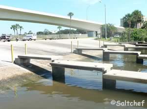 100 Seabreeze Boulevard
Daytona Beach, FL 32118
Entrance
GPS 29° 14'00.33" N 81° 01'05.51" W
( Entrance )
GPS 29° 13'55.69" N 81° 01'12.97" W
(Waters edge at ramp )
NOAA Halifax River, Ponce Inlet, FL 8721138
Go to map of County and City Parks in Volusia County with saltwater fishing
|
|
On the Halifax River. Mostly a boat ramp at this location, although you can enjoy the water and even possibly sit in the shade on those hot days, which is provided by the bridge above.
Seabridge Riverfront Park and Fishing Dock 3570 John Anderson Drive
Ormond Beach, FL 32176
GPS 29° 22'53.82" N 81° 05'13.01" W
Go to map of County and City Parks in Volusia County with saltwater fishing
|
|
Hours:
Sunrise to Sunset
Seabridge Riverfront Park is 3 acres in size and offers; shaded picnic area and a shaded fishing pier.
Smyrna Dunes Park 2995 North Peninsula Avenue
New Smyrna Beach, FL 32169
1-386-248-8072
Small fee applies at this facility.
GPS 29° 03'56.79" N 80° 54'52.67" W
Go to map of County and City Parks in Volusia County with saltwater fishing
|
|
Smyrna Dunes Park offers; Shoreline fishing, swimming, hiking trails, observation tower, fishing pier, picnic area, grills and restrooms.
Spruce Creek Park 6250 Ridgewood Avenue
Port Orange, FL 32127
GPS 29° 05'40.55" N 80° 58'15.00" W
( Entrance to park off Ridgewood Avenue )
Go to map of County and City Parks in Volusia County with saltwater fishing
|
|
Spruce Creek Park offers; Fishing pier, canoe & kayak launch, playground, picnic area and restrooms.
Sunrise Park North at Holly Hill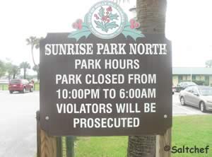 1135 Riverside Drive
Holly Hill, FL. 32117
1-386-248-9432
GPS 29° 14'55.36" N 81° 02'14.16" W
( Entrance to park )
GPS 29° 14'57.64" N 81° 02'05.73" W
( Foot of pier 1)
GPS 29° 14'55.72" N 81° 02'07.34" W
( Foot of pier 2)
GPS 29° 14'51.24" N 81° 02'10.46" W
( Foot of pier 3)
|
|
Sunrise Park in Holly Hill offers; Boat ramp, 3 fishing piers, pavilions, playground and restrooms.
Sunrise Park at Oak Hill ~ AKA Oak Hill Fishing Pier
275 River Drive
Oak Hill, Florida 32759
1-386-345-3522
GPS 28° 52'21.76" N 80° 50'22.06" W
|
|
Sunrise Park in Oak Hill offers; Fishing pier, shoreline fishing, picnic table, hand launch.
Sunsplash Park
 611 South Atlantic Avenue
Daytona Beach, FL 32118
GPS 29° 13'03.25" N 81° 00'12.24" W
Go to map of County and City Parks in Volusia County with saltwater fishing
|
|
Sunsplash Park offers; Beach access, swimming, outdoor showers, parking for 95+/-, shaded playground, large water fountain and restrooms.
Tom Renick Park 1575 Ocean Shore Boulevard
Ormond-by-the-Sea, FL 32176
GPS 29° 19'51.78" N 81° 03'31.56" W
Go to map of County and City Parks in Volusia County with saltwater fishing
|
|
27th Avenue Park
3701 South Atlantic Avenue
New Smyrna Beach, FL 32169
GPS 29° 00'32.74" N 80° 52'44.86" W
Go to map of County and City Parks in Volusia County with saltwater fishing
|
|
27th Avenue Park offers; Beach access, swimming, surf fishing with respect to swimmers, playground and restrooms.
Veterans Park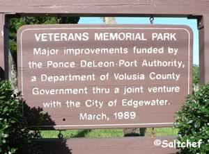 East Indian River Boulevard & South Riverside Drive
Edgewater, FL 32132
1-386-424-2485
GPS 28° 58'23.13" N 80° 53'30.90" W
( Foot of pier )
GPS 28° 58'22.53" N 80° 53'35.44" W
( Entrance to park )
Go to map of County and City Parks in Volusia County with saltwater fishing
|
|
Veterans Park offers; fishing pier that 180 feet in length.
Winter Haven Park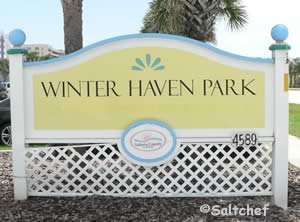 4589 South Atlantic Avenue
Ponce Inlet, FL 32127
GPS 29° 06'16.75" N 80° 56'30.84" W
Go to map of County and City Parks in Volusia County with saltwater fishing
|
|
Volusia County beach driving fees are:![]() $5.00 per day
$5.00 per day
$20.00 annual resident pass
$40.00 annual non-residnet pass
Beach driving permits are required between Feb 1st - Nov 30th.
Beach is open to driving during daylight hours only.
Beach driving is subject to tidal conditions
Bonfire rings on beach
Ring locations
Tom Renick Park, Cardinal Beach Ramp, Frank Rendon Park, Beachway Beach Ramp, Saphire Walkway, 27th Avenue beach Ramp and Hiles Beach Ramp.
Useful Links
| County & City Parks with Fishing in Volusia County Florida |
| Areas in Volusia County Florida include; Daytona, Ormond by the Sea, Ormond Beach, Holly Hill, Daytona Beach, Daytona Beach Shores, Port Orange, Ponce Inlet, New Smyrna Beach, Edgewater, Deltona, Osteen, DeLand and Orange City. |
| Bodies of brackish and saltwater in Volusia County Florida include; Atlantic Ocean, Big Cove, Big Snapper Cut, Blind Spruce Creek, Botheration Creek, Bottle Island Creek, Browns Bay, Bulow Creek, Callalisa Creek, Canal Bradano, Canal Calore, Cedar Creek, Cook Creek, Dead End Creek, Elwinder Creek, Fox Slip, Gaines Slough, Halifax Canal, Halifax Creek, Halifax River, Hunter Creek, Indian River North, Inlet Creek, Intracoastal Waterway, Little Snapper Cut, Live Oak Creek, Lost Creek, Mill Creek, Mosquito Lagoon, Murray Creek, Orange Island Creek, Ponce de Leon Cut, Potts Creek, Rockhouse Creek, Rose Bay, Sheephead Cut, Shipyard Canal, Slippery Creek, Smyrna Creek, Snake Creek, Spruce Creek, Strickland Creek, Ten Mile Creek, Thompsons Creek, Tomoka Basin, Tomoka River, Turnbull Bay, Turnbull Creek, Turner Flats, Webster Creek and Wilbur Bay. |
![]() Home
Home
![]() About
About
![]() Sitemap
Sitemap
![]() Credits
Credits
![]() Privacy
Privacy
![]() Advertise
Advertise
![]() Contact
Contact
![]()
