Hillsborough County, Florida ~ Boat Ramps
- National &
State Parks - County &
City Parks - Beaches
Hillsborough - Boat Ramps
Hillsborough - Fishing Piers
Hillsborough - Map of
Ramps - Boat Ramps
Adjoining Counties
Find Public Boat Ramps in Hillsborough County, Florida
Seach our site below
Alafia River Boat Ramp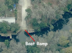 4020 Alafia Boulevard
Brandon, FL 33570
GPS 27° 52'50.30" N 82° 17'59.42" W
( Waters edge at ramp )
Go to map of boat ramps Hillsborough County
|
|
|
The Alafia River boat ramp is operated by Hillsborough County and offers; single launching lane, courtesy dock and parking for 10+/- boat trailers. No restrooms at this location.
Ballast Point Boat Ramp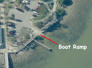 5300 Interbay Boulevard
Tampa, FL 33611
GPS 27° 53'22.34" N 82° 28'51.04" W
( Waters edge at ramp )
GPS 27° 53'22.28" N 82° 28'55.95" W
( Entrance to park )
Go to map of boat ramps Hillsborough County
|
|
|
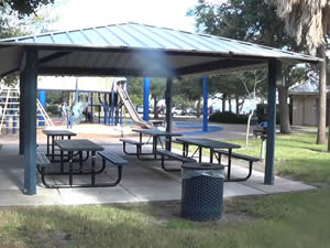
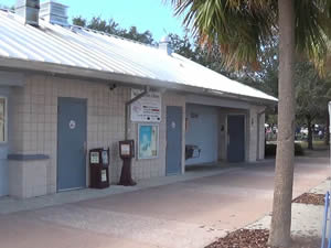
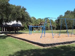
The Ballast Point Park along Hillsborough Bay offers; Paved single launching lane, non-floating courtesy docks, picnic pavilions set into a circular pattern with green space between, restrooms, trash receptacles and a playground with sail shades above. There is not a lot of trailer parking at this location.
A fishing pier is on site also.
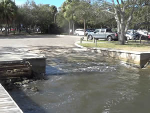
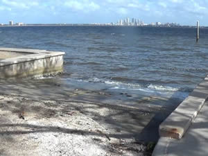
Cockroach Bay Boat Ramp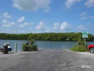 Western end of;
Cockroach Bay Road
Ruskin, FL 33570
1.2 miles west of the intersection of;
Cockroach Bay Road and Gulf City Road
Ruskin, FL 33570
GPS 27° 41'12.91" N 82° 31'13.85" W
( Waters edge at ramp )
Go to map of boat ramps Hillsborough County
|
|
|
Centrally located and giving easy access to Tampa Bay, Old Tampa Bay and Hillsborough Bays. Cockroach Bay offers; Single lane ramp, No courtesy docks at this location, picnic table, shoreline fishing and trash receptacles.
No restrooms at this location. Hand launch your kayak or canoe at Cockroach Bay. Other areas this ramp gives access to include the Manatee River, Little Manatee River, Bishop Harbor, Terra Ceia Bay, Alafia River, McKay Bay, Mobbly Bay or the Gulf of Mexico.
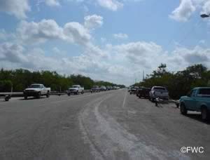
Courtney Campbell Causeway Boat Ramp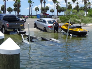 Westbound SR 60 on Old Tampa Bay
GPS 27° 58'20.31" N 82° 36'40.41" W
( Waters edge at ramp )
Go to map of boat ramps Hillsborough County
|
|
|
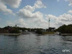
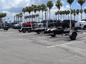
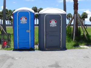
Sitting in the northern section of Old Tampa Bay the Courtney Campbell Causeway facility offers; 4 launching lanes, courtesy docks, 23 marked boat trailer parking spaces and portable restrooms.
Davis Island Boat Ramp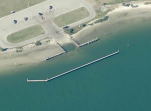 825 South Severn Avenue
Tampa, FL 33606
GPS 27° 54'39.01" N 82° 26'45.06" W
( Waters edge at ramp 1 )
GPS 27° 54'40.29" N 82° 26'51.34" W
( Waters edge at ramp 2 )
|
|
|
Go to map of boat ramps Hillsborough County
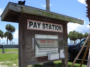
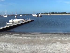
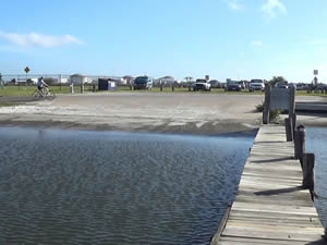
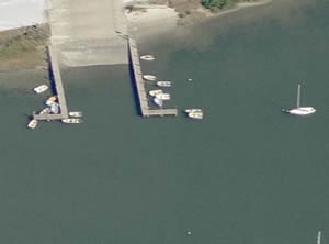
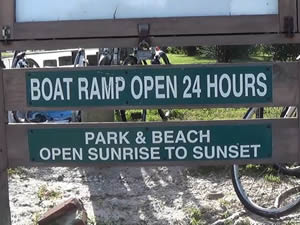
The boat ramps at Davis Island offer; 2 separate launching areas.
The first goes into the Seaplane Basin which is 50' in width, courtesy docks. This side may offer more protection during windy days, .
The second ramp is also 50' in width and has courtesy docks.
The parking is not designated very well, I would say that there are 30 spaces, portable toilets are available.
Domino Park Boat Ramp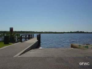 22nd Avenue & 8th Street Southwest
Ruskin, FL 33570
GPS 27° 41'38.00" N 82° 26'43.12" W
( Waters edge at ramp )
Go to map of boat ramps Hillsborough County
|
|
|
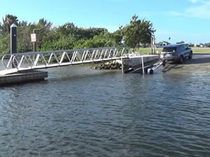
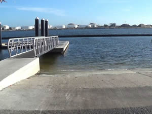
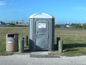
Sitting on Mill Bayou the Domino Park ramp offers; Single lane ramp, courtesy dock, 8 trailer parking spots, trash receptacles and easy access to Tampa Bay. No restrooms at this location.
E.G. Simmons Park Boat Ramp
 2401 19th Avenue Northwest
Ruskin, FL 33570
Hours: Spring / Summer 7 a.m. - 7 p.m.
Fall / Winter 7 a.m. - 6 p.m.
Phone: 813-671-7655
GPS 27° 44'07.32" N 82° 27'50.82" W
( Entrance off 19th Ave. )
GPS 27° 44'45.69" N 82° 28'25.12" W
( Waters edge at ramp )
|
|
|
Go to map of boat ramps Hillsborough County
Off of route 41 about 2 miles on 19th Avenue Northwest right hand turn.
Boat ramp is about 1 mile further into the park.
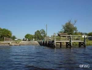
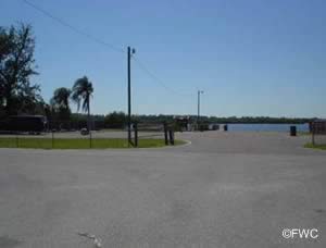
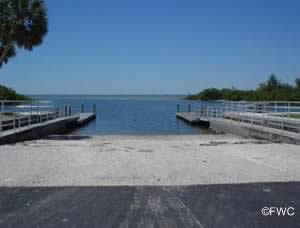
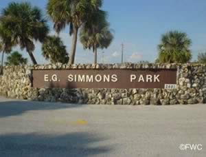
E.G. Simmons Park offers: 2 double wide boat ramps, courtesy docks, 23 paved parking spaces for boat trailers, fishing piers scattered in various areas, camping, canoe launch, canoe rentals, electrical hookups for camping, hiking, picnic tables, grills, playground, potable water, restrooms with hot and cold showers near camp sites, RV/camper sewage dump stations, swimming, and waterfront camping sites.

Fowler Avenue Boat Ramp - Rotary Park - Freshwater
7596 E. Fowler Avenue
Temple Terrace, FL 33617
GPS 28° 03'16.72" N 82° 21'50.82" W
( Waters edge at ramp )
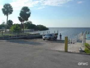
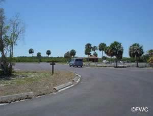
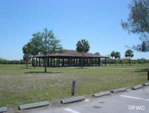
The Fowler Avenue freshwater boat ramp sitting on 3.9 acres offers; wide single lane ramp, courtesy dock, parking for about 25 boat trailers, picnic area and restrooms.
Watch clearance of the Fowler Avenue bridge.
Lowry Park Boat Ramp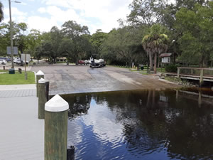 1204 West Flora Street
Tampa, FL 33604
GPS 28° 00'45.04" N 82° 27'54.30" W
( Waters edge at ramp )
|
|
|
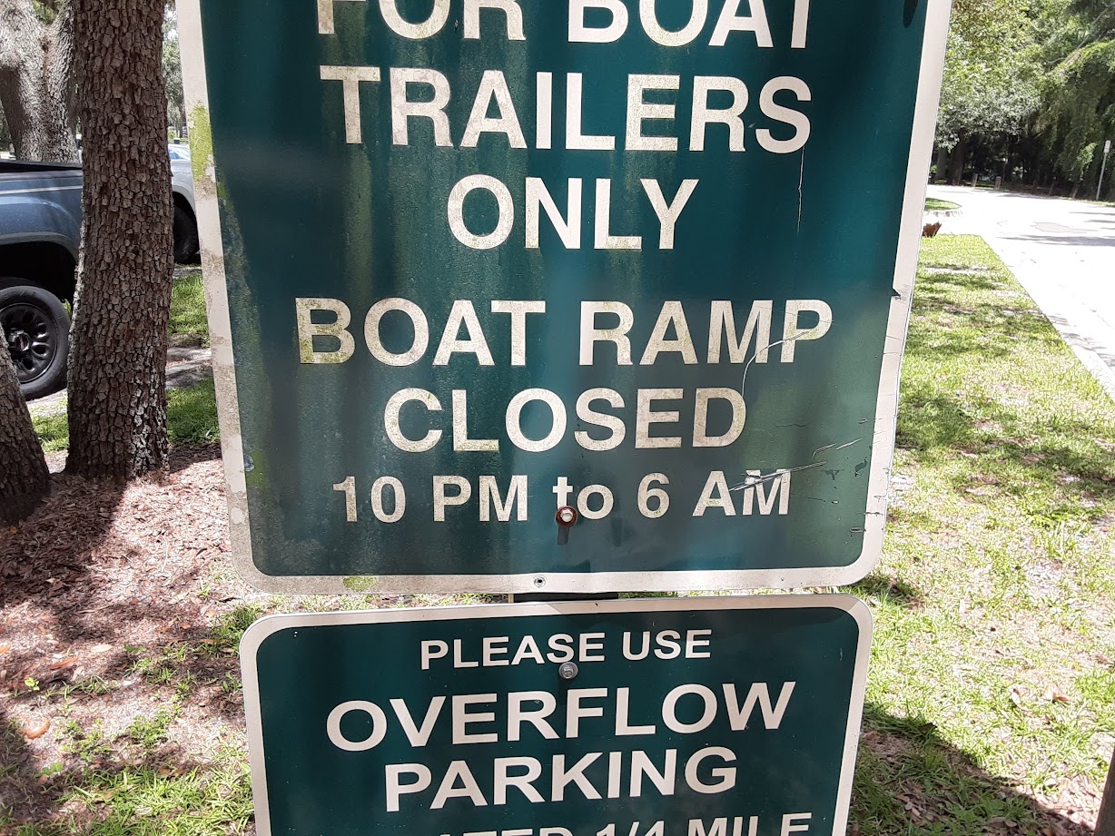
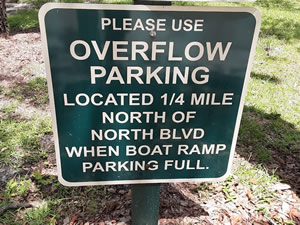
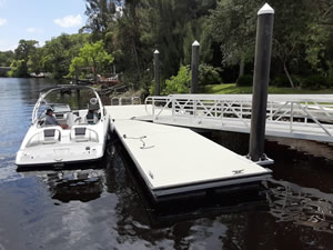
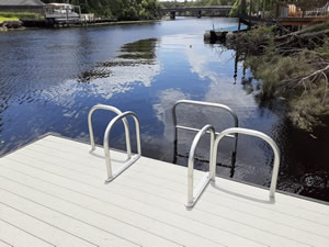
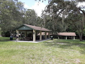
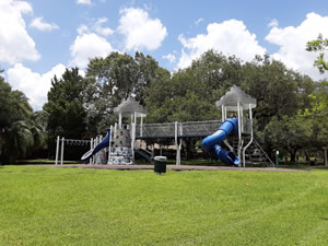
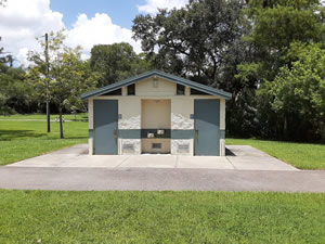
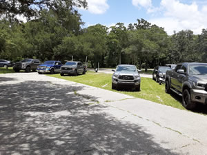
The Lowry Park boat ramp is along the Hillsborough River and offers; Wide single lane launching lane, floating courtesy dock, parking for about 15 boat trailers near ramp, overflow boat trailer parking, numerous reservable picnic pavilions, 3 playgrounds, fishing docks and multiple restrooms.
Picnic Island Park Boat Ramp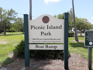 7404 Picnic Island Boulevard
Tampa, FL 33616
This address is in an industrial area. Follow Picnic Island Boulevard back to park area.
GPS 27° 51'28.22" N 82° 33'06.55" W
( Waters edge at ramp )
GPS 27° 51'29.58" N 82° 32'59.19" W
( Entrance to boat ramp area of park )
Go to map of boat ramps Hillsborough County
|
|
|
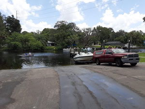
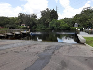
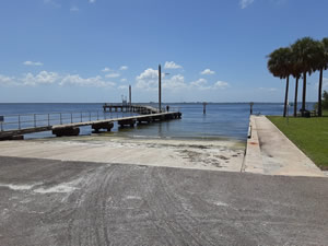
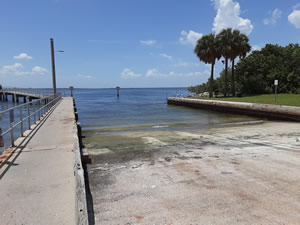
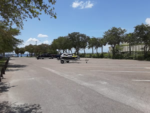
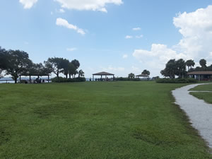
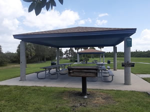
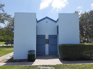
Managed by The City of Tampa the Picnic Island Park offers; 2 lane paved ramp, 13 lined desiginated trailer parking spaces and restrooms. The non-floating courtesy docks are rough and also serve as the walkway to the fishing pier. As you go further into the park, there are water side pavilions, playground, shoreline fishing, observation deck and small beach like areas.
A fishing pier on site also.
Riverhills Park Boat Ramp - Freshwater
329 South Riverhills Drive
Temple Terrace, FL 33617
813-744-5595
GPS 28° 01'16.28" N 82° 23'16.10" W
( Waters edge at ramp )
Go to map of boat ramps Hillsborough County
Riverhills Park along the Hillsborough River offers; single launching lane, courtesy dock, parking for about 10 boat trailers, picnicking, playground and restrooms.
Riverview Park Boat Ramp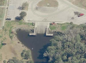 11020 Park Drive
Riverview, FL 33569
Fees payable via kiosk system
GPS 27° 51'56.76" N 82° 19'09.47" W
( Waters edge at ramp )
GPS 27° 51'52.69" N 82° 19'09.53" W
( Entrance to park )
Go to map of boat ramps Hillsborough County
|
|
|
Riverview Park offers; Double wide ramp 32' in width, non-floating courtesy docks, parking for about 40 boat trailers, hand launching dock adjacent to ramp area, picnic pavilions, playground, restrooms, open fields and shaded areas. It is about 6.5 miles to Hillsborough Bay from this ramp.
A
fishing pier is on site also.
Ruskin Common Good Park Boat Ramp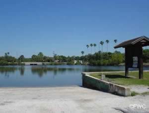 1st Avenue & 2nd Street Northwest
Ruskin, FL 33570
GPS 27° 43'10.28" N 82° 26'08.82" W
( Waters edge at ramp )
Go to map of boat ramps Hillsborough County
|
|
|
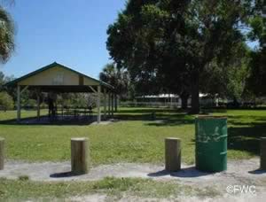
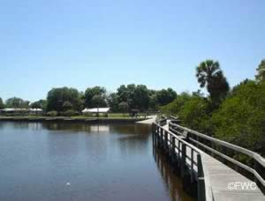
Common Good Park offers; 2 lane paved boat ramp, floating courtesy dock, picnic pavilion, trash receptacles and parking for about 8 trailers. Clearance at the 4th Street SW bridge should be taken into consideration when heading towards Tampa Bay. Hand launch your kayak or canoe. No restrooms at this location.
Fishing docks are on site also.
Salty Sol Fleishman Boat Ramp at Gandy Park South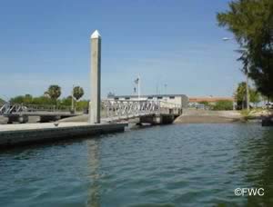 5120 Gandy Boulevard
Tampa, FL 33611
GPS 27° 53'32.32" N 82° 31'58.56" W
( Waters edge at ramp )
GPS 27° 53'31.57" N 82° 32'13.34" W
( Entrance off Gandy Boulevard )
Go to map of boat ramps Hillsborough County
|
|
|
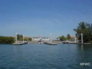
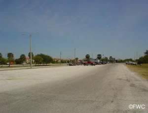
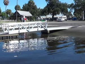
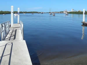
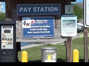
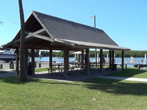
The Salty Sol Fleishman boat ramp offers; 6 launching lanes, floating courtesy docks, 100+ paved trailer parking spots, wash down facility and restrooms. The launch fee is payable at the automated pay station which only takes credit cards.
Sun City Heritage Park Hand Launch - Closed
3030 South Highway 41
Ruskin, FL 33570
GPS 27° 41'35.42" N 82° 27'28.25" W
( Waters edge at ramp )
GPS 27° 41'44.47" N 82° 27'36.56" W
( Entrance off Route 41 )
Go to map of boat ramps Hillsborough County
|
|
|
The Sun City Heritage Park hand launch is located along the Little Manatee River.
Wildcat Creek Boat Ramp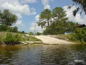 110 Stephens Road
Ruskin, Florida 33570
1-813-987-6240
Hours:
Sunrise to Sunset
GPS 27° 40'33.53" N 82° 26'09.81" W
( Waters edge at ramp )
Go to map of boat ramps Hillsborough County
|
|
|
Located along the Little Manatee River, Wildcat Creek facility offers; Single lane paved ramp,
no courtesy docks, picnic pavilion, parking for about 8-10 boat trailers and trash receptacles.
No restrooms at this location.
Williams Park Boat Ramp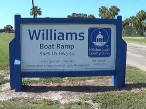 9425 Hwy 41 South
Riverview, FL 33578
Small launch fee collected via debit or credit card
813-672-7876
GPS 27° 51'36.47" N 82° 23'05.30" W
( Waters edge at ramp )
Go to map of boat ramps Hillsborough County
|
|
Williams Park offers; 4 launching lanes, floating courtesy docks, parking for about 75 boat trailers, trash receptacles, easy access to the Hillsborough Bay, playground, picnic pavilions and restrooms.
A fishing pier is on site also.
Useful Links
| Public Boat Ramps in Hillsborough County Florida |
|
|
| Areas in Hillsborough County Florida include; Apollo Beach, Balm, Bloomingdale, Brandon, Carrollwood, Cheval, Citrus Park, Dover, East Lake-Orient Park, Egypt Lake-Leto, Fish Hawk, Gibsonton, Keystone, Lake Magdalene, Lutz, Mango, Northdale, Palm River- Clair Mel, Pebble Creek, Plant City, Progress Village, Riverview, Ruskin, Seffner, Sun City Center, Tampa, Temple Terrace, Thonotosassa, Town 'n' Country, University, Valrico, Westchase and Wimauma. |
| Areas of Salt and Brackish Water Hillsborough County Florida include; Alafia River, Bull Frog Creek, Broad Creek, Cockroach Bay, Coon Hammock Creek, Dick Creek, Double Branch Creek, East Bay, Garrison Channel, Hillsborough Bay, Hillsborough River, Little Manatee River, McKay Bay, Old Tampa Bay, Piney Point Creek, Rocky Creek, Ruskin Inlet, Seddon Channel, Sparkman Channel, Tampa Bay & Tampa Bay Channel. |
![]() Home
Home ![]() About
About ![]() Sitemap
Sitemap ![]() Credits
Credits
![]() Privacy
Privacy ![]() Advertise
Advertise ![]() Contact
Contact ![]()
