Manatee County, Florida ~ Public Boat Ramps
- National &
State Parks - County &
City Parks - Beaches
Manatee - Boat Ramps
Manatee - Fishing Piers
Manatee - Map of
Boat Ramps
Manatee County - Boat Ramps
Adjoining
Counties
Find Public Boat Ramps in Manatee County, Florida
Seach our site below
Bishop Harbor Primitive Boat Ramp
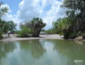 Closest intersection is;
Bishop Harbor Road & South Tamiani Trail
Palmetto, FL 34221
¾ mile west on Bishop Harbor of above intersection at the 90° bend.
GPS 27° 36' 04.59" N 82° 33'06.76" W
( Waters edge at ramp )
Go to map of boat ramps Manatee County
|
|
|
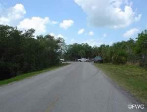
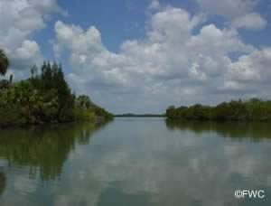
Braden River | State Road 64 Boat Ramp 3020 Manatee Avenue East
Bradenton, FL 34208
GPS 27° 29'45.93" N 82° 31'31.86" W
( Waters edge at ramp )
GPS 27° 29'44.97" N 82° 31'39.56" W
( Park entrance )
Go to map of boat ramps Manatee County
|
|
|
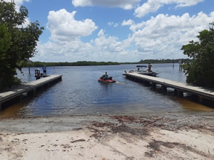
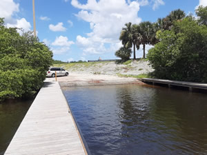
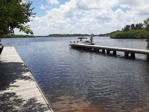
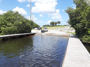
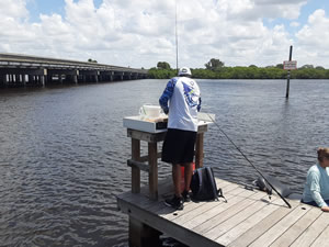
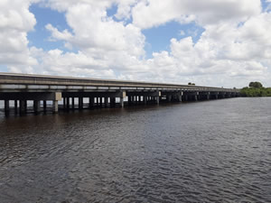
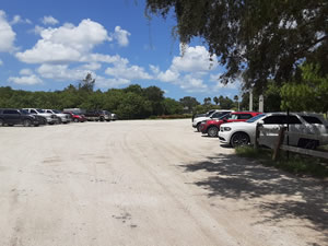
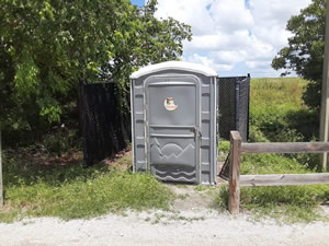
The Braden River / State Road 64 boat ramp offers; Paved ramp, parking, non-floating courtesy dock, parking for about 20 boat trailers, fish cleaning table and portolet. This ramp gives easy access to the Manatee River, Tampa Bay or the Gulf of Mexico. The Route 64 bridge will have height constraints, but a normal T topped boat should be fine.
Coquina Bayside North Boat Ramp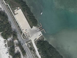 The 2000 block of:
Gulf Drive South
Bradenton Beach, FL 34217
About 6/10th of a mile north of the south ramp.
GPS 27° 27'20.16" N 82° 41'35.84" W
( Waters edge at ramp )
GPS 27° 27'18.70" N 82° 41'38.18" W
( Entrance )
Go to map of boat ramps Manatee County
NOAA Cortez 8726217
|
|
|
Coquina Bayside ramp offers; Easy Gulf of Mexico access, 2 launching lanes, non-floating courtesy docks, parking for about 25-30 boat trailers, fish cleaning / cutting station and port-o-let.
Coquina Bayside South Boat Ramp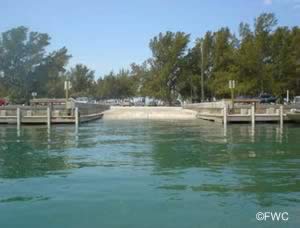 The 2000 block of:
Gulf Drive South
Bradenton Beach, FL 34217
About 6/10th of a mile south of the north ramp.
GPS 27° 26'52.35" N 82° 41'19.49" W
( Waters edge at ramp )
GPS 27° 26'55.15" N 82° 41'23.92" W
( Entrance )
Go to map of boat ramps Manatee County
|
|
|
The Coquina Bayside South boat ramp offers; wide single lane paved ramp, non-floating courtesy docks on sides of ramp, picnic area, pavilion, grill, trash receptacles, playground and restrooms. Very easy access to the Gulf of Mexico via under the drawbridge to Long Boat Key.
Emerson Point Boat Ramp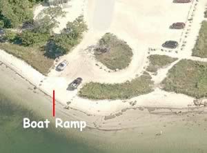 5801 17th Street SW
Palmetto, FL 34221
Boat ramp is 1.4 miles down once you enter the park.
GPS 27° 31'56.63" N 82° 38'47.67" W
( Waters edge at ramp )
GPS 27° 31'56.19" N 82° 37'32.59" W
( Entrance to park )
Go to map of boat ramps Manatee County
|
|
|
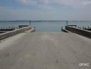
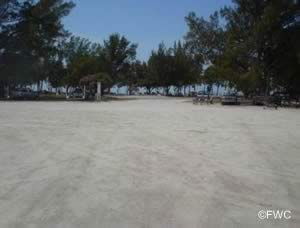
Emerson Point boat ramp offers; Unpaved ramp, port-o-lets, picnic pavilions, beautiful scenery of Tampa Bay, wildlife viewing and easy access to Tampa Bay and beyond.
Fort Hamer Boat Ramp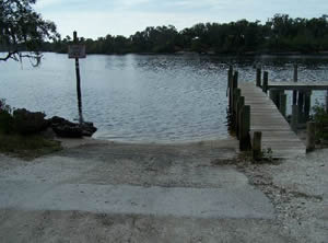 End of Fort Hamer Road
Closest cross street is;
Fort Hamer Road & Mulholland Road
Parrish, FL 34219
GPS 27° 31'28.65" N 82° 25'48.07" W
( Waters edge at ramp )
GPS 27° 31'30.28" N 82° 25'47.56" W
Go to map of boat ramps Manatee County
|
|
|
The Fort Hamer boat ramp is managed by Manatee County sits along the Manatee River and offers; a paved ramp, courtesy dock, parking for about 20 boat trailers and hand launching of canoes or kayaks.
No restrooms at this location.
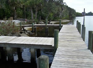
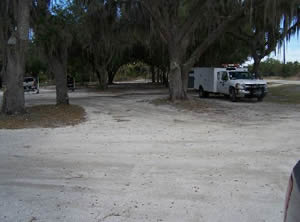
Highland Shores Boat Ramp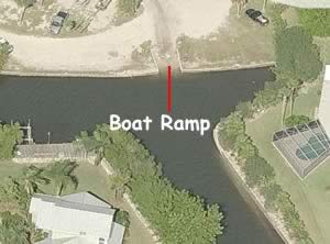 351 Shore Drive
Ellenton, FL 34222
GPS 27° 30'54.02" N 82° 32'00.61" W
( Waters edge at ramp )
Go to map of boat ramps Manatee County
|
|
|
The Highland Shores boat ramp offers; Parking for about 10 boat trailers, port-o-lets, trash receptacles in a nice clean small facility. Easy access to the Manatee River and Tampa Bay. Head out towards Edgemont Key from here.
Kingfish Boat Ramp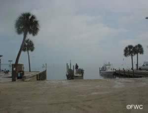 752 Manatee Avenue
Holmes Beach, FL 34217
GPS 27° 29'51.20" N 82° 42'08.53" W
( Waters edge at ramps )
Go to map of boat ramps Manatee County
|
|
|
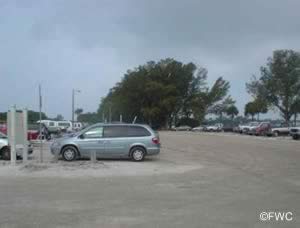
The Kingfish boat ramp in Holmes Beach offers; two ramps, courtesy docks, canoe & kayak launching, fish cleaning tables, grills, picnic tables, port-o-lets and 50 designated spots for trailer parking. The ramp gives easy access to the Gulf of Mexico, northern sections of Sarasota Bay, Palma Sola Bay and the southern sections of Tampa Bay.
Palma Sola Boat Ramp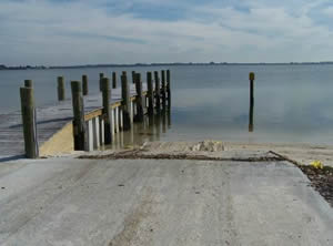 On Manatee Avenue / Route 64
1.4 miles west of;
75th Street West
Bradenton, FL 34209
GPS 27° 29'44.72" N 82° 39'35.50" W
( Waters edge at ramp )
Go to map of boat ramps Manatee County
|
|
|
The Palma Sola Causeway boat launch is a favorite for locals and offers; Single lane ramp, non-floating courtesy dock, trash receptacles and parking for 17 vehicles with trailers. Vehicles without trailers can park nearby. Good place hand launch a kayak also. This facility offers easy access to Palma Sola Bay, Anna Maria Sound, Tampa Bay and the Gulf of Mexico.
No restrooms at this location.
Riverside Park | Palmetto Boat Ramp
801 Riverside Drive
Palmetto, FL 34221
GPS 27° 30'42.41" N 82° 34'26.25" W
( Waters edge at ramp )
Go to map of boat ramps Manatee County
|
|
|
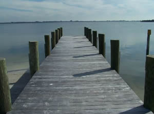
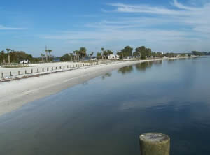
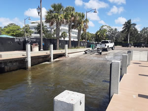
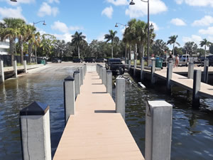
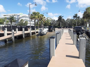
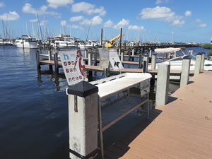
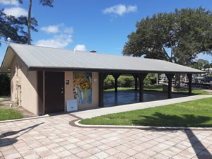
Riverside Park / Palmetto boat ramp is managed by the City of Palmetto, Parks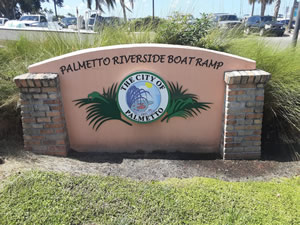 and Recreation Dept. and offers; A paved ramp, about 15 parking spots for vehicles with trailers directly at the ramp area, 50+/- addditional boat trailer parking spaces are available at the lot across street, handicapped accessible, picnic area, fish cleaning area, monofilament recycling and restrooms.
A fishing pier / old bridge is also on site.
Warners Bayou Boat Ramp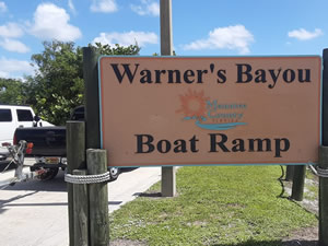 5800 Riverview Boulevard
Bradenton, FL 34209
GPS 27° 30'35.19" N 82° 37'06.07" W
( Waters edge at ramp )
Go to map of boat ramps Manatee County
|
|
|
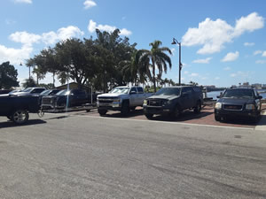
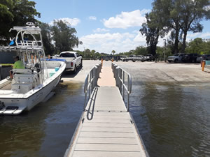
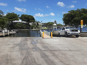
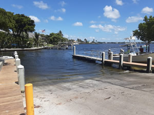
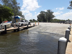
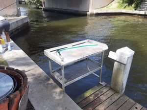
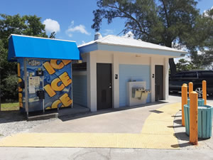
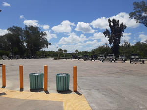
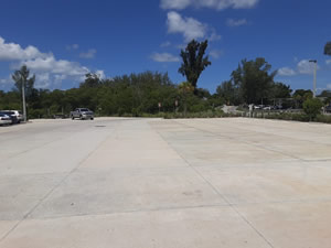
Warners Bayou ramp offers; Paved launching ramp, floating courtesy docks, fish cleaning table on dock near bridge, hand launching, parking for about 40 boat trailers including the over-flow lot across street, restrooms, ice machine, picnic tables and trash receptacles.
63rd Street Boat Ramp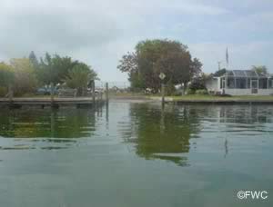 Closest intersection is;
63rd Street & Marina Drive
Holmes Beach, FL 34217
Ramp is 1000 feet east on 63rd Street from above intersection. 63rd intersects Marina at 2 locations go east on 63rd
GPS 27° 30'48.75" N 82° 42'50.79" W
( Waters edge at ramp )
GPS 27° 30'47.62" N 82° 42'50.89" W
( Entrance )
Go to map of boat ramps Manatee County
|
|
|
The 63rd Street boat ramp sits along Bimini Bay in Holmes Beach and offers; Paved ramp, trash receptacles, parking for about 9 boat trailers, courtesy docks, picnic tables and restrooms which are at the tennis courts ( not 24 hrs ). The ramp gives easy access to Anna Maria Sound, southern sections of Tampa Bay and the Gulf of Mexico.
Useful Links
| Public Boat Ramps in Manatee County Florida |
|
|
| Areas in Manatee County Florida include; Anna Maria, Bayshore Gardens, Bradenton, Bradenton Beach, Cortez, Ellenton, Holmes Beach, Longboat Key, Memphis, Palmetto, Samoset, South Bradenton, West Bradenton, West Samoset and Whitfield. |
| Areas of Salt and Brackish Water Manatee County Florida include; Anna Maria Sound, Big Pass Inlet, Bimini Bay, Bishop Harbor, Braden River, Gulf of Mexico, Manatee River, Miguel Bay, Palma Sola Bay, Perico Bayou, Sarasota Bay, Terra Ceia Bay, Wares Cove, Warner East Bayou and Warner West Bayou. |
![]() Home
Home ![]() About
About ![]() Sitemap
Sitemap ![]() Credits
Credits
![]() Privacy
Privacy ![]() Advertise
Advertise ![]() Contact
Contact ![]()
