Pinellas County, Florida ~ Boat Ramps
- National &
State Parks - County &
City Parks - Beaches
Pinellas - Boat Ramps
Pinellas - Fishing Piers
Pinellas - Map of
Boat Ramps - Boat Ramps in
Adjoining Counties
Public Boat Ramps in Pinellas County, Florida
Seach our site below
Bay Vista Park Boat Ramp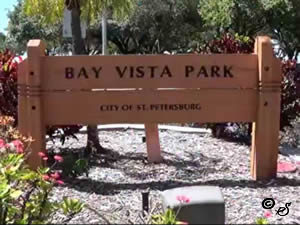 7000 4th Street South
St. Petersburg, FL 33705
1-727-893-7441
Hours; ½ before sunrise - ½ after sunset
GPS 27° 42'17.58" N 82° 38'27.76" W
( Park entrance )
GPS 27° 42'13.46" N 82° 38'23.82" W
( Waters edge at ramp )
GPS 27° 42'13.14" N 82° 38'27.46" W
( Foot of fishing pier )
Go to map of boat ramps Pinellas County
Video of Bay Vista Park Boat Ramp.
|
|
|
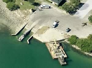
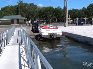
Bay Vista Park is operated by the City of St Petersburg and sits on 4.3 acres. The parks amenities and activities include; 2 boat ramps affording easy access to fishing and recreational boating in Tampa Bay and beyond, playground, the Bay Vista Recreation Center, kayak racks and restrooms.
A fishing pier is on site also.
Bellaire Causeway Boat Ramp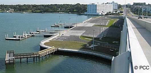 3900 West Bay Drive
Belleair Bluffs, FL 33770
727-582-2100
Hours; Open 24 hours
GPS 27° 55'01.41" N 82° 49'31.19" W
( Waters edge at ramp )
Go to map of boat ramps Pinellas County
Click here to go to map of Bellaire Causeway boat ramp.
|
|
|
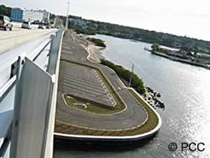
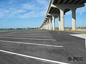
Belleair Causeway boat ramp is managed by Pinellas County. This area along Clearwater Harbor has 108 boat trailer parking spots ( fee charged ), 98 car spaces ( fee charged ), 10 boat launching lanes, courtesy docks and port-o-lets. Access to the Gulf of Mexico is through Clearwater Pass.
There is a fishing pier on site also.
Clearwater Beach Recreation Center Boat Ramp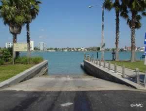 69 Bay Esplanada
Clearwater Beach, FL 33767
GPS 27° 59'05.40" N 82° 49'25.38" W
( Waters edge at ramp )
Go to map of boat ramps Pinellas County
|
|
|
The Clearwater Beach Recreation Center boat ramp offers; wide launching lane, courtesy docks, restrooms and parking for about 15 boat trailers.
Crisp Park Boat Ramp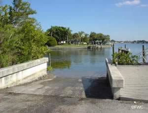 3500 Poplar Street NE
Saint Petersburg, FL 33704
727-893-7441
Opens 30 minutes before sunrise
closes at 11:00 pm
GPS 27° 48'15.60" N 82° 37'36.90" W
( Waters edge at ramp )
Go to map of boat ramps Pinellas County
|
|
|
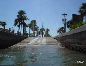
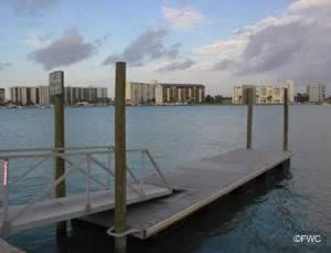
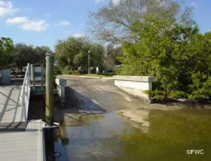
Crisp Park in St Petersburg, Florida sits on 4.8 acres and offers; 2 separate boat ramp areas, floating couresy docks, shoreline fishing, 2 rentable picnic pavilions, grills, playground and restrooms.
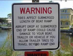
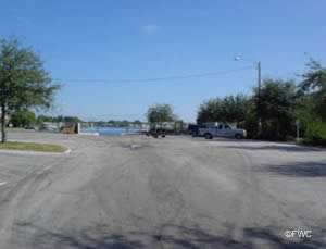
Watch the low clearance ( I've heard 11 feet ) of the Snell Island Boulevard Bridge when accessing the Bay. Parking for about 20 vehicles with trailers at the park.
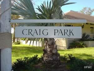
Craig Park Boat Ramp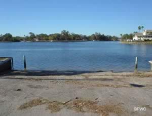 400 South Spring Boulevard
Tarpon Springs, FL 34689
1-727-942-5628
Hours; 7:30am - Dusk
GPS 28° 08'45.41" N 82° 45'43.29" W
( Waters edge at ramp )
Go to map of boat ramps Pinellas County
|
|
|
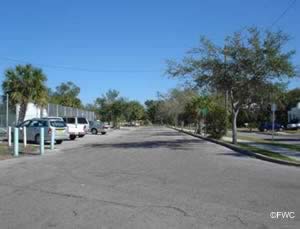
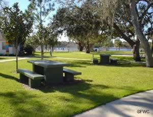
Craig Park amenities include; Paved boat ramp, 6 parking spaces and restrooms which are located in the recreation center. Craig park is adjacent to Coburn Park
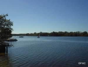
Coffee Pot Park Boat Ramp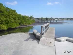 1st Street & 31st Avenue NE
St. Petersburg, FL 33704
GPS 27° 48'01.05" N 82° 38'03.67" W
( Entrance to park )
GPS 27° 48'00.95" N 82° 38'00.10" W
( Waters edge at ramp )
Go to map of boat ramps Pinellas County
|
|
|
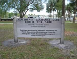
Coffee Pot Park sits on 2 waterfront acres and amenities include; Paved boat ramp, courtesy docks, playground, shoreline fishing, picnic pavilion and shaded areas.
WATCH the low clearance at the Snell Island Boulevard NE bridge.
Demens Landing Boat Ramp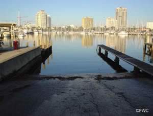 Bayshore Drive & 1st Avenue Southeast
St. Petersburg, FL 33701
Hours; Open 24 hours
GPS 27° 46'13.24" N 82° 37'56.10" W
( Park entrance )
GPS 27° 46'16.75" N 82° 37'41.07" W
( Waters edge at ramp )
Go to map of boat ramps Pinellas County
NOAA St. Petersburg 8726520
|
|
|
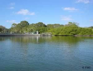
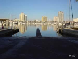
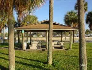
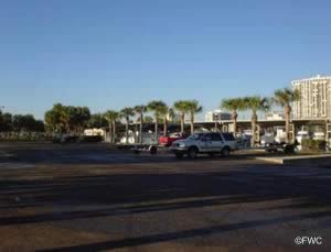
Demens Landing in St Petersburg, Florida sits on 14.7 acres and offers; 3 launching lanes, courtesy docks, playground, picnic shelters & restrooms.
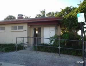
Don CeSar Boat Ramp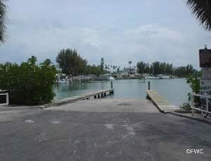 West Maritana Drive & Casablanca Avenue
Saint Pete Beach, FL 33706
GPS 27° 42'30.63" N 82° 44'09.06" W
( Waters edge at ramp )
Go to map of boat ramps Pinellas County
|
|
|
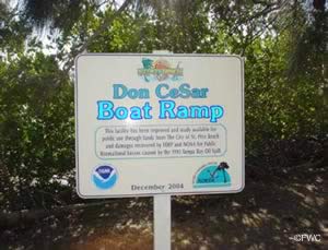
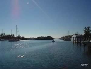
The Don Cesar boat ramp offers; single launching lane, courtesy docks. There is designated trailer parking along Cabrillo & Casablanca Avenues about 13 spots are available. Parking fees are payable at the kiosk that is near the ramp. No restrooms at this location.
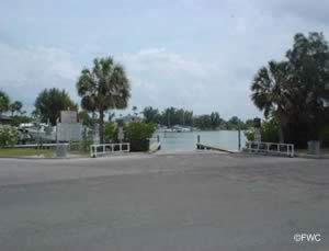
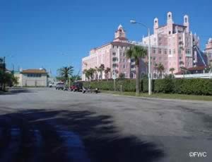
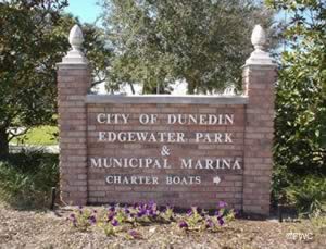
Dunedin Marina Boat Ramp ~ Edgewater Park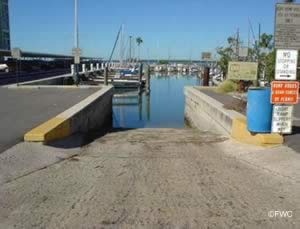 51 Main Street
Dunedin, FL 34698
727-298-3030
Closes at 11 p.m.
GPS 28° 00'39.54" N 82° 47'33.86" W
( Waters edge at ramp )
Go to map of saltwater boat ramps Pinellas County
|
|
|
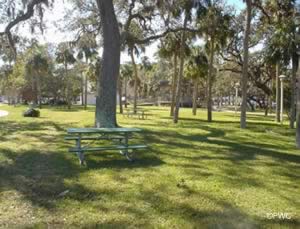
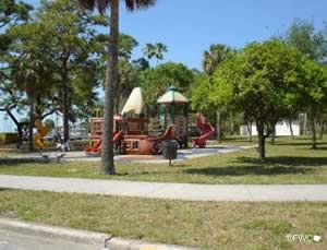
Edgewater Park is manage by The City of Dunedin Parks and Recreation and sits on 4 waterfront acres amenities include; Boat ramp, picnic area, fishing, fresh water, playground and restrooms.
Egan Park Boat Ramp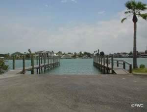 9101 Blind Pass Road
St. Pete Beach, FL 33706
Open 24 hours
GPS 27° 45'17.87" N 82° 45'22.59" W
( Waters edge at ramp )
GPS 27° 45'12.12" N 82° 45'26.45" W
( Entrance to park )
GPS 27° 45'15.92" N 82° 45'21.59" W
( Foot of fishing pier )
Go to map of boat ramps Pinellas County
|
|
|
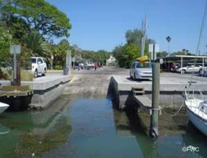
Managed by The City of St. Pete Beach Parks Division, Egan Park offers, Wide lauching ramp, courtesy docks, restrooms, freshwater, fish cleaning table, handicap accessible and 18 parking spots designated for vehicles with trailers.
Fishing pier on site also.
Fort Desoto Park Boat Ramp
 3100 Pinellas Bayway South
Tierra Verde, FL 33715
Above address is entrance area near the boat ramp.
GPS 27° 38'45.99" N 82° 43'02.68" W
( Waters edge at ramp )
GPS 27° 38'37.58" N 82° 42'55.36" W
( Entrance to ramp area off Pinellas Byway South )
Go to map of boat ramps Pinellas County
Click here to go to map of Fort De Soto Park.
|
|
|
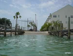
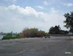
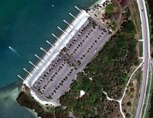
The Fort Desoto boat ramp offers; 20 lanes, courtesy docks, about 200 parking spots for trailers and restrooms. Super easy access into the Gulf of Mexico through Bunces Pass.
Gandy Wayside Park Boat Ramp
 On the western end of the Gandy Bridge ( Route 92 )
GPS 27° 52'37.44" N 82° 35'17.72" W
( Waters edge at ramp )
Go to map of boat ramps Pinellas County
|
|
|
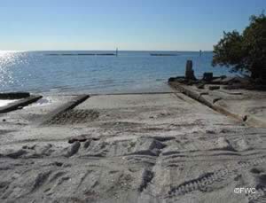
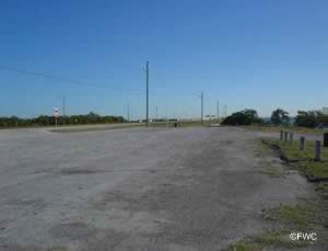
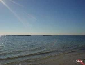
Ramp is in rough condition, recommended for small boats only or hand launching of kayaks or canoes.
Grandview Park Boat Ramp ~ AKA Coquina Key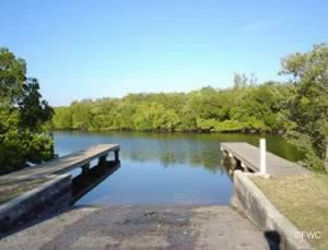 3800 6th Street South
St. Petersburg, FL 33705
1-797-893-7441
GPS 27° 44'03.64" N 82° 38'23.40" W
( Waters edge at ramp )
Go to map of boat ramps Pinellas County
|
|
|
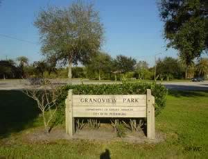
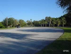
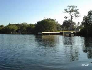
Grandview Park in St. Peterburg sits on 5 acres and offers; Single launching lane, courtesy dock, fishing, picnic areas and grills. Access to Tampa Bay is made through Bog Bayou. Manatees are known to frequent the area, so please be careful as always.
Gulfport City Marina Boat Ramp ~ Kayak Launch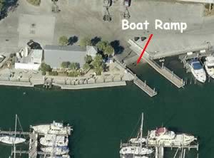 4630 29th Avenue South
Gulfport, FL 33711
727-893-1071
Call for hours
GPS 27° 44'26.32" N 82° 41'45.31" W
( Waters edge at ramp )
Go to map of boat ramps Pinellas County
|
|
|
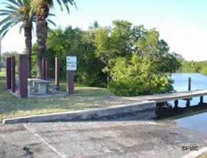
Sitting on 11 acres the Gulfport City Marina offers; 2 lane ramp, courtesy docks, 70 boat trailer parking spaces, showers & restrooms. Picnic areas are at the Clam Bayou Nature Park next door.
Indian Rocks Beach Boat Ramp
15th Avenue & Bayshore Boulevard
Indian Rocks Beach, FL 33785
GPS 27° 53'49.91" N 82° 50'36.46" W
( Waters edge at ramp )
Go to map of boat ramps Pinellas County
|
|
|
FOR RESIDENTS OF INDIAN ROCKS BEACH ONLY. ISSUED PERMIT MUST BE DISPLAYED PROPERLY.
NO PARKING, Basically a neighborhood ramp.
Jungle Prada Park Boat Ramp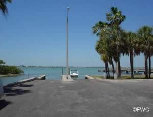 Park Street & Elbow Lane North
St. Petersburg, FL 33710
GPS 27° 47'17.92" N 82°45'15.77" W
( Waters edge at ramp )
GPS 27° 47'19.00" N 82°45'09.68" W
( Entrance to park )
Go to map of boat ramps Pinellas County
|
|
|
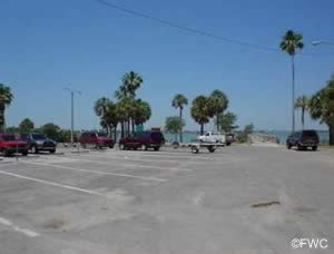
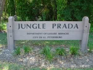
Managed by the City of St. Petersburg Parks and Recreation Jungle Prada sits on 5.4 acres and offers, Paved boat ramps, courtesy docks and 16 boat trailer parking spots.
Fishing pier on site also.
Madeira Beach Municiple Marina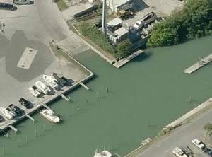 503 150th Avenue
Madeira Beach, FL 33708
1-727-399-2631
Fees are collected by the attendant
Hours: 7am - Sunset
GPS 27° 48'15.68" N 82° 47'43.92"W
( Waters edge at ramp )
Go to map of boat ramps Pinellas County
|
|
|
Conveniently located on Boca Ciega Bay the Madeira Beach Municiple Marina offers; 2 lane paved ramp, courtesy dock, parking for about 30 for day use, fish cleaning table, picnic area, showers and restrooms. Non ethanol fuel and deisel is availble during normal business hours. Johns Pass giving access to the Gulf of Mexico is a short distant south from this facility.
Maximo Park Boat Ramp
 Closest major intersection is;
66th Avenue South & 31st Street South
St. Petersburg, FL 33711
Entrance area to park is 1500 feet west on 66th Ave from the above intersection - Go under the overpass.
727-893-7441
Hours; Opens 30 minutes before sunrise
& Closes 30 minutes after sunset
GPS 27° 42'32.40" N 82° 40'47.36" W
( Entrance to park )
GPS 27° 42'44.22" N 82° 40'58.35" W
( Waters edge at ramp 1 )
GPS 27° 42'42.05" N 82° 41'00.82" W
( Waters edge at ramp 2 )
Go to map of boat ramps Pinellas County
Video of Maximo Park Boat Ramp.
|
|
|
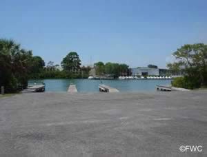
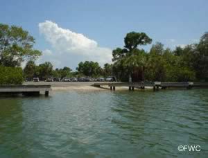
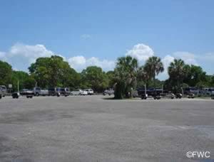
Maximo Park comprises 70 acres and offers; 5 launching lanes at 2 separate ramp areas, courtesy docks, 16 rentable picnic pavilions with grills, covered playground, disc golf course and restrooms. Pavilions are rentable call 727-893-7441
Park Boulevard Boat Ramp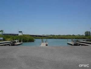 186th Avenue & Gulf Boulevard
Indian Shores, FL 33785
727-549-6165
Open 24 hours
GPS 27° 50'33.14" N 82° 50'20.82" W
( Waters edge at ramp )
Go to map of boat ramps Pinellas County
Click here to go to map of Park Boulevard boat ramp.
|
|
|
The Park Boulevard boat ramp sits on 6.5 acres along the Intracoastal Waterway and offers; 3 launching lanes, courtesy docks, 73 boat trailer parking spaces, fresh water & restrooms.
A fishing pier is on site also.
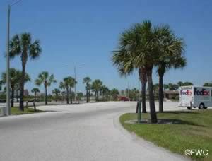
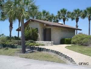
Philippe Park Boat Ramp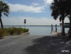 2525 Philippe Parkway
Safety Harbor, FL 34695
Open 7 a.m. to Dusk
727-582-2100
GPS 28° 00'46.16" N 82° 41'02.31" W
( Park entrance )
GPS 28° 00'50.19" N 82° 40'56.98" W
( Waters edge at ramp )
Go to map of boat ramps Pinellas County
Click here to go to Philippe Park map.
NOAA Safety Harbor, Old Tampa Bay 8726738
|
|
|
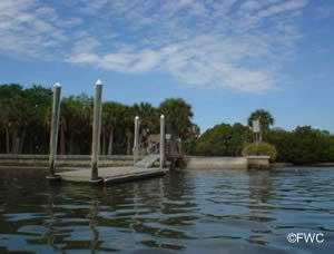
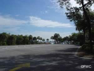
Philippe Park sits on 160 acres and is the oldest park in Pinellas County. Amenities in the park include; Single launching lane, courtesy dock, fishing, 2 playgrounds, 8 picnic pavilions with grills ( reservable ), softball fields, history, Indian mound & restrooms.
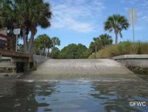
Safety Harbor Marina Park Boat Ramp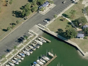 131 South Bayshore Boulevard
Safety Harbor, FL 34695
GPS 27° 59'23.84" N 82° 41'16.86" W
( Entrance to park )
GPS 27° 59'21.13" N 82° 41'12.84" W
(Waters edge at ramp )
Go to map of boat ramps Pinellas County
Video of Veterans Park Boat Ramp.
|
|
|
The Safety Harbor Marina Park boat ramp is operated by the City of Safety Harbor and offers; wide single lane ramp, courtesy docks,few small picnic shelters, fishing pier, kayak launch, scenic views and restrooms.
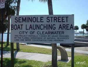
Seminole Street Boat Ramp
 201 Seminole Street
Clearwater, FL 33755
GPS 27° 58'27.14" N 82° 48'08.97" W
( Waters edge at ramp )
Go to map of boat ramps Pinellas County
|
|
|
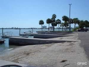
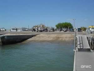
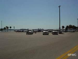
Operated by the City of Clearwater, The Seminole Street boat ramp offers; 6 paved ramps, courtesy docks, 125+/- boat trailer parking spots , port-o-lets, benches, picnic tables & trash receptacles.
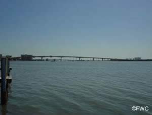
Sutherland Bayou Boat Ramp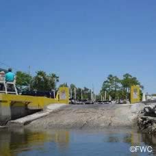 2119 US Alt. 19
North Palm Harbor, FL 34683
1-727-216-6679
Hours; Boat ramp is open 24 hours
Parking fees do apply. Follow on-site instructions.
GPS 28° 05'10.94" N 82° 46'15.18" W
( Waters edge at ramp )
Go to map of boat ramps Pinellas County
|
|
|
The Sutherland Bayou boat ramp sits on 5 acres on and gives direct access to Gulf of Mexico & St Joseph Sound. offering; a single launching lane, courtesy docks, 50 spaces for trailer parking and an additional 20 spaces for cars only. Bait shop on site 1-727-216-6979 which is open 1 hr before dawn and 1 hour after dark. There is also a boat rinse down area. Restroom facilities are on site too. Once out on the water be sure to follow boating regulatory zones for Pinellas County and beyond.
Sunlit Cove Boat Ramp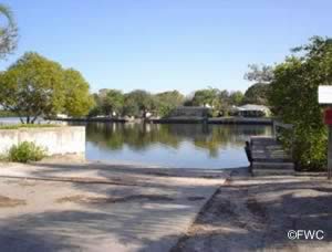 Sunlit Cove Drive & Bay Street NE
St. Pete, FL 33702
GPS 27° 51'08.00" N 82° 38'02.04" W
( Waters edge at ramp )
Go to map of boat ramps Pinellas County
|
|
|
The Sunlit Cove boat ramp is a neighborhood type ramp offering; single launching lane, courtesy dock & limited parking. The bridge at San Martin Boulevard North has 11 feet + /- of clearance, No restrooms
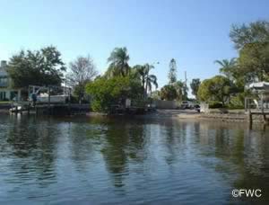
Sunset Beach ~ Small Boat Ramp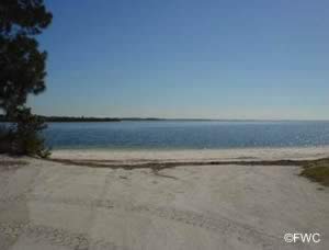 1800 Gulf Road
Tarpon Springs, FL 34689
GPS 28° 08'37.73" N 82° 47'24.75" W
Go to map of boat ramps Pinellas County
|
|
|
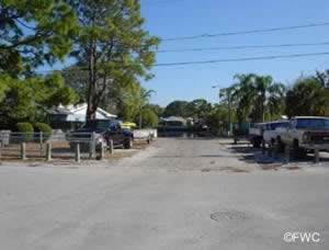
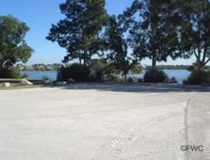
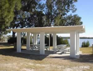
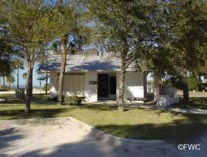
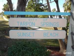
The small boat ramp at Sunset Beach offers; Single lane sand ramp, 5 boat trailer parking spaces, pavilions, small playground & restrooms.
War Veterans Memorial Park Boat Ramp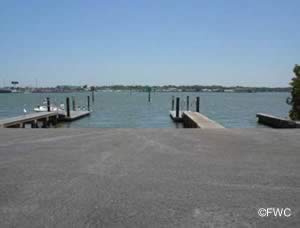 9600 Bay Pines Boulevard
St. Petersburg, FL 33708
Fees are charged for boat ramp use
GPS 27° 48'49.19" N 82° 46'09.73" W
( Entrance to park )
GPS 27° 48'43.48" N 82° 46'04.68" W
( Waters edge at ramp )
Go to map of boat ramps Pinellas County
Click here to go to map of War Veterans Memorial Park.
|
|
|
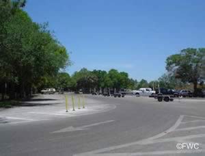
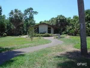
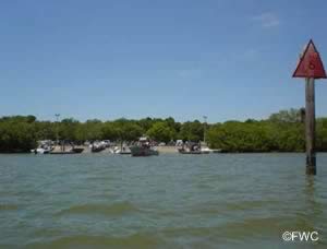
War Veterans Memorial Park sits on 122 acres along Boca Ciega Bay giving access to the Gulf of Mexico. Amenities in the park include; Boat ramp with 6 launching lanes, floating courtesy docks, paved parking for about 150 boat trailers, canoe trail, boardwalk, playground, picnic pavilions with bbq grills and restrooms.
84th Avenue Boat Ramp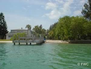 84th Avenue & Bayshore Drive
Treasure Island, FL 33706
GPS 27° 44'50.75" N 82° 45'34.20" W
( Waters edge at ramp )
Go to map of boat ramps Pinellas County
|
|
|
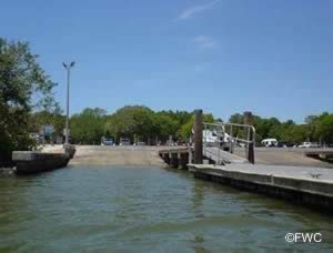
The 84th Avenue ramp offers; Single launching lane, courtesy docks and 2 boat trailer parking spaces.
100th Avenue Boat Ramp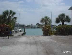 100th Avenue & Gulf Boulevard
Treasure Island, FL 33706
GPS 27° 45'33.32" N 82° 45'54.54" W
( Waters edge at ramp )
Go to map of boat ramps Pinellas County
|
|
|
The 100th Avenue ramp offers; Single launching lane, courtesy docks and about 2 parking spaces.
123rd Avenue Boat Ramp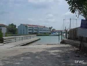 123rd Avenue & Lagoon Lane
Treasure Island, FL 33706
GPS 27° 46'43.84" N 82° 46'42.73" W
( Waters edge at ramp )
Go to map of boat ramps Pinellas County
|
|
|
Useful Links
| Public Boat Ramps in Pinellas County Florida |
| Areas in Pinellas County Florida Include; Bardmoor, Bay Pines, Bear Creek, Belleair, Belleair Beach, Belleair Bluffs, Belleair Shore, Clearwater, Dunedin, East Lake, Feather Sound, Greenbriar, Gulfport, Harbor Bluffs, Indian Rocks Beach, Indian Shores, Kenneth City, Largo, Lealman, Madeira Beach, North Redington Beach, Oldsmar, Palm Harbor, Pinellas Park, Redington Beach, Redington Shores, Ridgecrest, Safety Harbor, Seminole, South Highpoint, South Pasadena, St. Pete Beach, St. Petersburg, Tarpon Springs, Tierra Verde, Treasure Island and West Lealman. |
| Areas of Salt & Brackish Water in Pinellas County Florida Include; Alligator Lake, Anclote River, Big Bayou, Boca Ciega Bay, Boggy Bayou, Charlotte Harbor, Clearwater Harbor, Cross Bayou, Grande Bayou, Gulf of Mexico, Kreamer Bayou, Lake Tarpon Canal, Little Bayou, Long Bayou, Minetta Bayou, Myers Cove, Old Tampa Bay, Pelican Cove, Riviera Bay, Scharrer Bayou, Snell Isle Harbor, Spring Bayou, Stevenson Creek, St Joes Creek, St Joseph Sound, Tampa Bay, Tarpon Bayou, The Narrows and Whitcomb Bayou. |
![]() Home
Home ![]() About
About ![]() Sitemap
Sitemap ![]() Credits
Credits ![]() Privacy
Privacy ![]() Advertise
Advertise ![]() Contact
Contact ![]()
