Miami - Dade County, Florida ~ Boat Ramps
- National &
State Parks - County &
City Parks - Beaches
Miami-Dade - Boat Ramps
Miami-Dade - Fishing Piers
Miami-Dade - Map of
Boat Ramps - Boat Ramps
Adjoining
Counties
Public Boat Ramps Miami ~ Dade County, Florida
Seach our site below
Barry Kutun Boat Ramp ~ Maurice Gibbs Park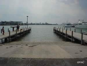 Purdy Avenue & 18th Street
Miami Beach, FL 33139
GPS 25° 47'37.33" N 80° 08'42.19" W
( Waters edge at ramp )
|
|
|
Go to map of boat ramps in Miami Dade County
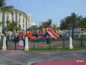
The Barry Kutun Boat Ramp is adjacent to Maurice Gibbs Memorial Park along Biscayne Bay and offers; 2 lane ramp, courtesy docks, 14 boat trailer parking spaces, hand launching of kayaks & canoes, playground and restrooms.
Black Point Park Boat Ramp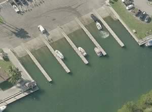 24775 SW 87th Avenue
Homestead, FL 33032
1-305-258-4092
Boat ramp is open 24 hours
GPS 25° 32'18.30" N 80° 19'39.25" W
( Waters edge at ramp )
Go to map of boat ramps in Miami Dade County
|
|
|
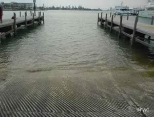
Black Point Park boat ramp offers; 10 launching lanes, courtesy docks, fish cleaning station, close to 200 boat trailer parking spaces and restrooms.
Crandon Park Boat Ramp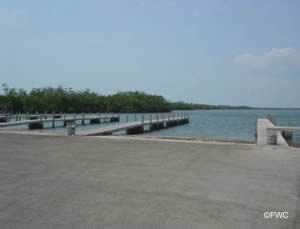 6747 Crandon Boulevard
Key Biscayne, FL 33149
1-305-361-1281 Marina Office
Hours; Sunrise to Sunset
GPS 25° 43'24.26" N 80° 09'17.27" W
( Waters edge at ramp )
GPS 25° 43'32.17" N 80° 09'13.14" W
( Entrance )
|
|
Go to map of boat ramps in Miami Dade County
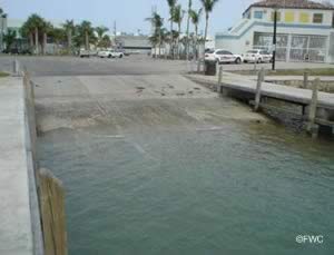
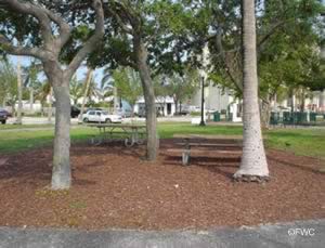
The Crandon Park boat ramp offers; 14 launching lanes, courtesy docks, picnic area, close to 200 boat trailer parking spaces and restrooms.
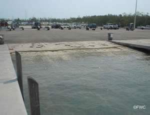
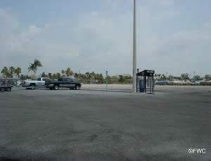
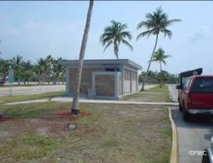
Curtis Park Boat Ramp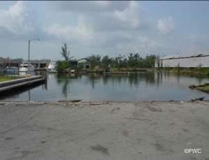 1901 NW 24th Avenue
Miami, FL 33129
Open 7 days a week from 8am ~ 6pm
GPS 25° 47'25.17" N 80° 14'01.78" W
( Waters edge at ramp )
NOAA Miami Ship Base, FL 8723155
|
|
Go to map of boat ramps in Miami Dade County
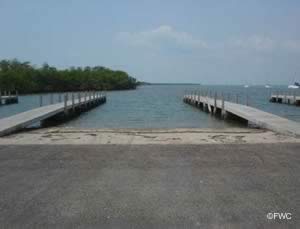
The Curtis Park boat ramp offers; double wide single lane ramp, courtesy dock and about 10 spaces for boat trailer parking. The facility is gated, and gate is locked at 6pm, a small fee applies at this location.
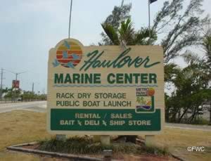
Haulover Beach Park Boat Ramp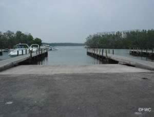 10800 Collins Avenue
Sunny Isles, FL 33154
GPS 25° 55'01.16" N 80° 07'25.62" W
( Waters edge at ramp )
|
|
|
Go to map of boat ramps in Miami Dade County
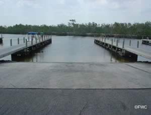
Haulover Beach Park boat ramp offers; 10 launching lanes, courtesy docks, 172 trailer parking spaces and restrooms.
Homestead Bayfront Park Boat Ramp
 9698 SW 328th Street
Homestead, FL 33033
305-230-3033
GPS 25° 27'45.30" N 80° 20'18.13" W
( Waters edge at ramp )
|
|
|
Go to map of boat ramps in Miami Dade County
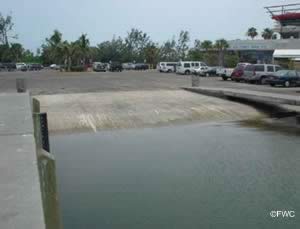
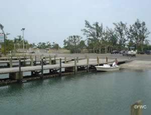
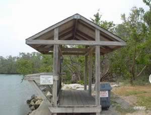
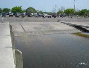
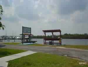
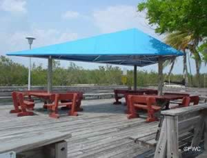
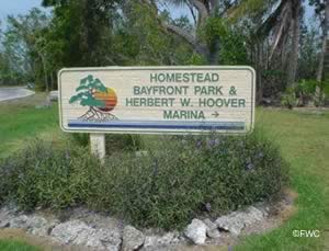
Located along Biscayne Bay, the Homestead Bayfront Park Boat Ramp offers; 10 launching lanes, courtesy docks, parking for 100 boat trailers, restrooms and easy access to the open Atlantic waters.
Kenneth M. Meyers Bayside Park Boat Ramp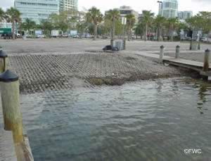 AKA ~ Seminole Boat Ramp
Closest intersection is;
SW 27th Avenue & South Bayshore Drive
Miami, FL 33133
Ramp area is 300' down SW 27th Avenue
from above intersection.
GPS 25° 43'38.42" N 80° 14'15.41" W
( Waters edge at ramp )
GPS 25° 43'41.46" N 80° 14'14.55" W
( Entrance )
|
|
|
Go to map of boat ramps in Miami Dade County
The Kenneth M. Meyers Bayside Park boat ramp offers; 6 launching lanes, courtesy docks, 35-40 parking spots for trailers.
Legion Park Boat Ramp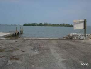 6447 Northeast 7 Avenue
Miami, FL 33138
GPS 25° 50'07.22" N 80° 10'48.81" W
( Waters edge at ramp )
GPS 25° 50'05.90" N 80° 11'02.24" W
( Entrance off route 1 )
|
|
|
Go to map of boat ramps in Miami Dade County
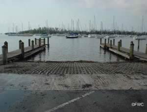
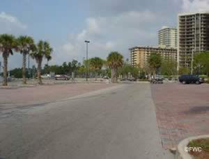
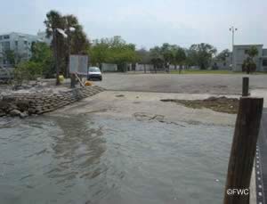
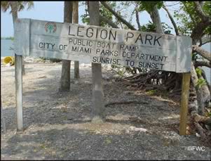
The Legion Park boat ramp offers; single lane ramp, courtesy dock and 18 boat trailer parking spaces.
Matheson Hammock Park Boat Ramp
 Matheson Park Road
Coral Gables, FL 33156
Launching fees apply at this park
GPS 25° 40'43.96" N 80° 15'36.36" W
( Waters edge at ramp )
GPS 25° 40'52.68" N 80° 15'53.26" W
( Entrance )
|
|
|
Go to map of boat ramps in Miami Dade County
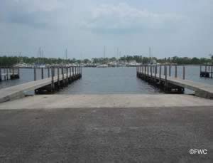
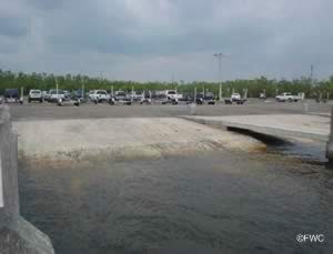
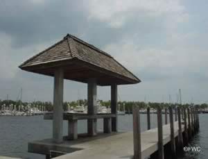
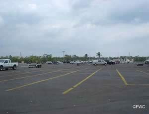
Matheson Hammock boat ramp offers; 12 launching lanes, courtesy docks, fish cleaning tables, waterfront deck area, restrooms and about 150 boat trailer parking spaces.
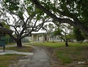
Morningside Park Boat Ramp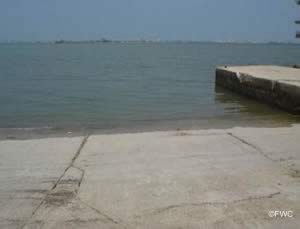 750 Northeast 55th Terrace
Miami, FL 33137
GPS 25° 49'23.54" N 80° 10'41.94" W
( Waters edge at ramp )
GPS 25° 49'36.78" N 80° 10'46.96" W
( Entrance )
|
|
|
Go to map of boat ramps in Miami Dade County
Morningside Park boat ramp offers; wide paved boat ramp, hand launching of kayaks & canoes, 21 trailer parking spaces, picnicking, grills and restrooms.
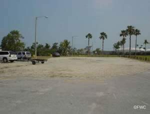
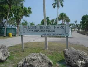
Pelican Harbor Park Boat Ramp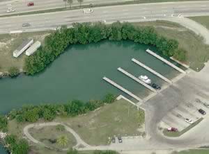 1275 Northeast 79 Street
Miami, FL 33141
Marina phone 305-754-9330
GPS 25° 50'51.28" N 80° 10'05.26" W
( Waters edge at ramp )
GPS 25° 50'53.33" N 80° 10'00.33" W
( Entrance to ramp area )
|
|
|
Go to map of boat ramps in Miami Dade County
Pelican Harbor offers; 8 lane boat ramp, courtesy docks, 49 trailer parking spots, ramp is open 24 hours, hand launching of kayaks & canoes.
Watson Island Boat Ramp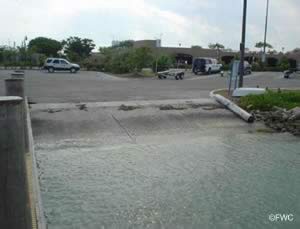 MacArthur Causeway
Miami, FL 33136
GPS 25° 47'01.71" N 80° 10'20.61" W
( Waters edge at ramp )
GPS 25° 46'55.93" N 80° 10'23.37" W
( Entrance west bound on MacArthur Causeway )
GPS 25° 47'00.92" N 80° 10'29.68" W
( Entrance east bound on MacArthur Causeway )
|
|
|
Go to map of boat ramps in Miami Dade County
Watson Island boat ramp offers; 5 wide launching lanes, courtesy docks, 42 paved boat trailer parking spaces and restrooms.
Useful Links
| Areas in Miami ~ Dade County Florida include; Alameda, Allapattah, Andover, Atlantic Heights, Aventura, Bal Harbour, Bay Harbor Islands, Biscayne Park, Brownsville, Buena Vista, Bunche Park, Carol City, Coconut Grove, Coral Gables, Coral Terrace, Country Club, Country Walk, Cutler, Cutler Bay, Cutler Ridge, Doral, East Perrine, Eastern Shores, Edison Center, El Portal, Fisher Island, Florida City, Fountainebleau, Gables by the Sea, Gables Estates, Gladeview, Glenvar Heights, Golden Beach, Golden Glades, Goulds, Hialeah, Hialeah Gardens, Homestead, Indian Creek Village, Islandia, Ives Estates, Kendale Lakes, Kendall, Key Biscayne, Keystone Islands, Lake Lucerne, Lakes by the Bay, Leisure City, Lemon City, Liberty Square, Lindgren Acres, Little River, Ludlam, Medley, Miami, Miami Beach, Miami Gardens, Miami Lakes, Miami Shores, Miami Springs, Naranja, Norland, North Bay Village, North Miami, North Miami Beach, Ojus, Olympia Heights, Opa-locka, Palm Springs Estates, Palmetto Bay, Palmetto Estates, Perrine, Pinecrest, Pinewood, Princeton, Richmond Heights, San Souci Estates, Scott Lake, Shenandoah, South Miami, South Miami Heights, Sunny Isles Beach, Sunset, Surfside, Sweetwater, Tamiami, The Crossings, The Hammocks, Three Lakes, University Park, Virginia Gardens, West Little River, West Miami, West Perrine, Westchester and Westview. |
| Areas of Salt and Brackish Water Miami Dade County Florida include; Atlantic Ocean, Biscayne Bay, Card Sound, Indian Creek, Intracoastal Waterway, Little Card Sound, Normandy Waterway, Snapper Creek Canal and Tatum Waterway. |
![]() Home
Home ![]() About
About ![]() Sitemap
Sitemap ![]() Credits
Credits
![]() Privacy
Privacy ![]() Advertise
Advertise ![]() Contact
Contact ![]()
