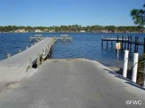
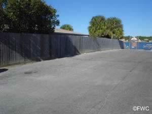
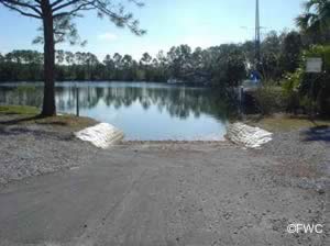
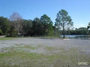
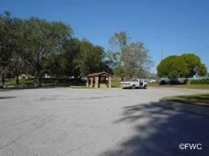
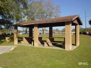
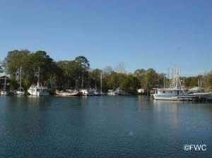
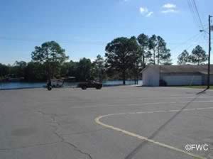
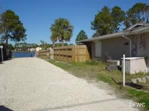
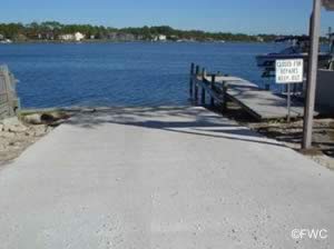
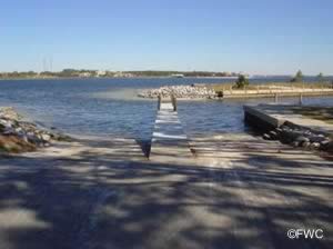
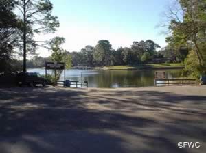
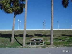
Public Boat ramps in Bay County Florida

Public
Boat Ramps

near
Panama City
Bay County, Florida


Seach our site below

Facilities in Bay County are still recovering from previous years hurricanes.

Bayview Avenue Boat Ramp - Saint Andrews City Marina
Boat ramp is at the intersection of;
   Bayview Avenue & 11th Court
bayview boat ramp panama city florida    Panama City, FL 32401

Official address of Marina is;
   3151 W 10th Street
   Panama City, FL 32401

850-872-7240

GPS 30° 10'09.34" N    85° 42'10.17" W
( Waters edge at ramp )

Go to map of boat ramps in Bay County

weather near Bayview Avenue boat ramp Florida   Tides Bayview Avenue boat ramp


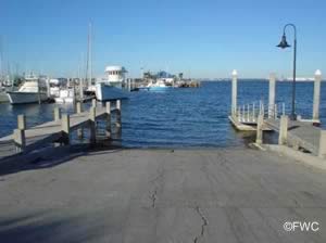
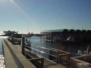
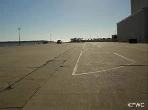
Double wide concrete single boat ramp located at the St Andrews City Marina. W 12th Street is at the top of the ramp and you must cross it when backing down. It is also a one way street (runs north to south). You do not have to check in with the marina office. You must park your vehicle with trailer at the marina, on the south side of the parking lot. There are 17 designated parking slots there for vehicles with trailers, but the paint has faded and the lanes are hard to see.
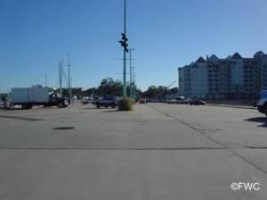
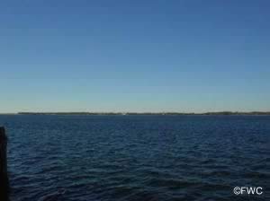
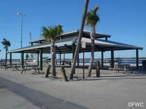
saint andrews city marina saltwater boat ramp in bay county florida 32401picnics at st andrews bayview avenue boat ramp


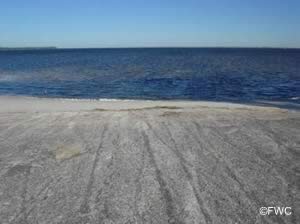
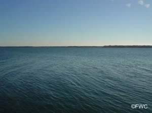
boat trailer parking at bayview boat ramp panama city florida view of st andrews bay from boat ramp


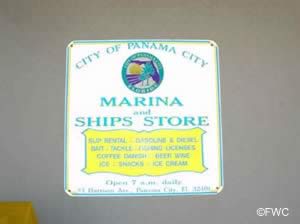
picnics along st andrews bay at bayview marina st andrews marina sign


Burnt Mill Creek Boat Ramp
Closest cross streets are;
   State Highway 388 & South Burnt Mill Creek Road
   Southport, FL 32409
   About 9/10ths of a mile down South Burnt Mill Road on right.

GPS 30° 18'59.42" N    85° 45'43.28" W
( Waters edge at ramp )

GPS 30° 18'58.42" N    85° 45'39.96" W
( Entrance )

Go to map of boat ramps in Bay County

weather near Burnt Mill Creek boat ramp Florida   Tides Burnt Mill Creek boat ramp


The Burnt Mill Creek boat ramp is a wide single lane ramp. The ramp allow easy access to the West Bay and the Grand lagoon. There is a floating courtesy dock also. There is a fair amount of shaded parking and a portolet. The ramp is a good place to launch a kayak and head up the Burnt Mill Creek

burnt mill creek boat ramp in bay county florida 32409


B.V. Buchanan Boat Ramp
bv buchanan boat ramp in west panama city beach Southwest end of the Hwy 79 / Intracoastal Bridge
Laird Park Road
West Panama City Beach, FL 32413

GPS 30° 17'38.94" N    85° 51'31.45" W
( Waters edge at ramp )

Go to map of boat ramps in Bay County

weather near B.V. Buchanan boat ramp Florida   Tides B.V. Buchanan boat ramp


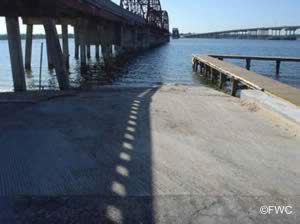
The B.V. Buchanan boat ramp operated by Bay County offers wide single lane ramp, courtesy dock, parking for about 25 vehicles with trailers under the bridge. A portolet is on site also.

b.v buchanan boat ramp


Carl Gray Boat Ramp
carl gray saltwater boat ramp panama city florida 32401 Collegiate Drive & Moody Avenue
Panama City, FL 32401

GPS 30° 11'13.30" N    85° 43'50.49" W
( Waters edge at ramp )

Go to map of boat ramps in Bay County

weather near Carl Gray boat ramp Florida   Tides Carl Gray  boat ramp


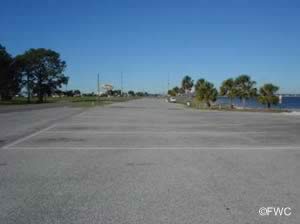
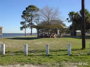
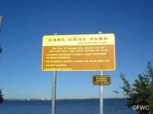
The Carl Gray boat ramp offers; Wide launching ramp about 85' in width, no courtesy docks, 13 boat trailer parking spaces, picnic pavilions along the water, swimming and usually a portable toilet. As of february 2020 Carl Gray is scheduled for an upgrade.

carl gray saltwater boat ramp in bay county florida 32401picnics at  carl gray wayside park boat ramp


parking at the carl gray park boat ramp panama city florida picnic pavilions at carl gray park panama city florida


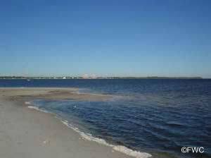
sign at carl gray park view of north and west bay in panama city fl


Crooked Creek Park Boat Ramp
6370 Titi Road
West Bay, FL 32413

GPS 30° 18'54.35" N    85° 48'48.06" W
( Waters edge at ramp )

Go to map of boat ramps in Bay County

weather near Crooked Creek boat ramp Florida   Tides Crooked Creek  boat ramp


The Crooked Creek Park boat ramp offers; 2 launching lanes, courtesy docks, parking for about 18 vehicles with trailers and picnic shelters. No restrooms at this location. A small fishing dock is on site also

crooked creek park boat ramp bay county, florida


Dolphin Boat Ramp
dolphin boat ramp lower grand lagoon florida Dolphin Drive & South Lagoon Drive
Lower Grand Lagoon, FL 32408

GPS 30° 09'03.34" N    85° 45'27.26" W
( Waters edge at ramp )

Go to map of boat ramps in Bay County

weather near Dolphin boat ramp Florida   Tides Dolphin  boat ramp


The Dolphin boat ramp would be considered an in-town ramp. There is parking for maybe 4 vehicles at the ramp and more parking at Oriole Street which is about 675' west on S. Lagoon Drive. There is a courtesy dock and an area at the end of dock with a couple of benches. No restrooms at this facility.

dolphin saltwater boat ramp in bay county florida 32408


bay county florida dolphin boat ramp sign at dolphin boat ramp bay county florida


Donald Penny Boat Ramp
donald penny boat ramp southport, fl Hwy 2302 (Bridge St)
Southport, FL 32444

GPS 30° 16'59.02" N    85° 39'22.02" W
( Waters edge at ramp )

Go to map of boat ramps in Bay County

weather near Donald Penny boat ramp Florida   Tides Donald Penny  boat ramp


The Donald Penny boat ramp is operated by Bay County and offers; double wide boat ramp along Fannin Bayou, courtesy dock, picnic table, trash can and paved parking for about 10 vehicles with trailers. No restroom facilities at this location. No fee.

donald penny ramp


Donaldson Point Boat Ramp
donaldson point saltwater boat ramp bay county florida 1562 Dover Road
Panama City, FL 32404

GPS 30° 07'12.39" N    85° 36'05.73" W
( Waters edge at ramp )

Go to map of boat ramps in Bay County

weather near Donaldson Point boat ramp Florida   Tides Donaldson Point  boat ramp


The Donaldson Point boat ramp offers; single launching lane for smaller boats and parking for 8+/- vehicles with trailers. No restrooms at this location. No courtesy docks at this location.

donaldson point saltwater boat ramp in bay county florida 32404


parking at donaldson point on fannin bayou view of fannin bayou from donaldson point boat ramp


Earl Gilbert Park Boat Ramp
6600 Oakshore Drive
Panama City, FL 32404

Hours: 6AM - 11PM

GPS 30° 06'18.69" N    85° 36'13.94" W
( Waters eedge at ramp )

GPS 30° 06'40.20" N    85° 36'08.07" W
( Intersection of Tyndall Parkway and Oakshore Drive )

Go to map of boat ramps in Bay County

weather near Earl Gilbert Park boat ramp Florida   Tides Earl Gilbert Park  boat ramp


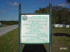
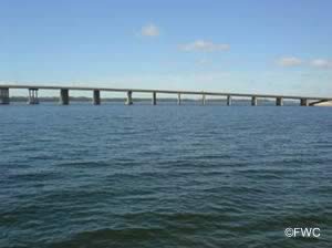
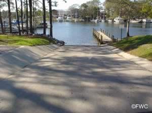
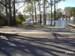
Earl Gilbert Park operated by the City of Parker offers; Single launching lane, about 15 desigated traler parking spaces and 15 smaller picnic pavilions along the shoreline each having at least 1 picnic table. No restrooms at this location. Future plans call for a 500' fishing pier to be built from funds received from the Deep Water Horizon settlement. The city has received $844,222 to build a 500' fishing pier at Earl Gilbert Park. Another $169,929 was released for improvements to the boat ramp, which will include repairs and six new parking spaces.

earl gilbert park saltwater boat ramp in bay county florida 32404fishing at earl gilbert park panama city flpicnic pavilions along the bay shoresea kayaking from earl gilbert park


parking at the earl gilbert park and boat ramp panama city florida picnic pavilions at earl gilbert park in panama city


sign at earl gilbert park in bay county florida view of the tyndall parkway bridge panama city


George Park Boat Ramp
george park boat ramp 175 North Church Avenue
Panama City, FL 32404

GPS 30° 08'53.81" N    85° 37'39.30" W
( Waters edge at ramp )

Go to map of boat ramps in Bay County

weather near George Park boat ramp Florida   Tides George Park  boat ramp


The George Park boat ramp offers; Single launching lane, courtesy dock, parking for 5 boat trailers near the ramp it appears as if other spaces are available along 1st Place ( street ) and a small picnic pavilion. No restrooms at this location.

george park saltwater boat ramp in bay county florida 32404fishing watson bayou near springfieldpicnic pavilions george park


george park saltwater boat rampparking  bay county florida parking at george park


picnic pavilion at george park panama city florida beautiful view of watson bayou from george park panama city florida


Highpoint Boat Ramp ~ Freshwater
7937 County Road 2311
Panama City, FL 32404

GPS 30° 17'37.23" N    85° 34'59.53" W
( Waters edge at ramp )

The Highpoint boat ramp offers; Double launching lane, courtesy docks, parking room for 18-20 boat trailers, pavilion, playground and restrooms.

Highpoint boat ramp in bay county florida 32404fishing watson bayou near springfieldpicnic pavilions george parkrestrooms


John B Gore Park Boat Ramp
john b gore park boat ramp callaway florida Just south of the intersection of;
   Beulah Avenue & Minneola Street
   Callaway, FL 32404
   on Beulah Avenue

GPS 30° 08'12.21" N    85° 34'11.91" W
( Waters edge at ramp )

Go to map of boat ramps in Bay County

weather near John B Gore Park boat ramp Florida   Tides John B Gore Park boat ramp


The John B. Gore Park boat ramp along Callaway Bayou is operated by The City of Callaway and offers; Double wide ramp, courtesy docks on either side, paved parking for 13 vehicles with trailers, picnic tables, trash cans and restrooms.

john gore park saltwater boat ramp in bay county florida 32404picnic tables at john gore parksmall playground at john gore park callaway flport-o-lets


boat trailer parking at john gore park ramp bay county fl picnic along callaway bayou at john gore park and boat ramp


john b gore park sign view of callaway bayou from john b gore park bay county florida


Leslie Porter Wayside Park Boat Ramp
boat ramp at leslie port park in lynn haven, fl 200 Michigan Avenue
Lynn Haven, FL 32444

GPS 30° 15'12.50" N    85° 38'45.23" W
( Waters edge at ramp )

Go to map of boat ramps in Bay County

weather near Leslie Porter Wayside Park boat ramp Florida   Tides Leslie Porter Wayside Park boat ramp


The Leslie Porter Wayside Park boat ramp offers; 6 launching lanes, courtesy docks, about 50 boat trailer parking spaces, six smaller water side picnic pavilions, playground and restrooms.

leslie porter park saltwater boat ramp in bay county florida 32444fishing pier on north bay at leslie porter parkfishing the north bay from leslie porter park lynn haven fl
picnic pavilions near the shores of north bay at leslie porterplayground at leslie porter park lynn haven floridarestrooms at leslie porter park bay county florida


aerial view of leslie porter boat ramp picnic pavilions at leslie porter along waters edge


playground at leslie porter park in lynn haven fl 32444 fishing bridge at leslie porter park in lynn haven


Mexico Beach Public Boat Ramp

GPS 29° 57'16.37" N    85° 25'28.82" W
( Waters edge at ramp )

Go to map of boat ramps in Bay County

weather near Mexico Beach Public boat ramp Florida   Tides Mexico Beach Public boat ramp


Mexico Beach public ramp offers; 2 launching lanes ( one is wider ), courtesy docks, decent amount of parking at this facility. No restrooms at this location. Please be aware of the clearance of the bridge at Route 98 to access the Gulf of Mexico. If you need more clearance you can use the Circle Drive ramp, but you must park at this location.

From The Mexico Beach website 2018; "The boat ramp provides easy access to the Gulf of Mexico and daily parking for your boat trailer. There is a small fee for use of the boat ramp and daily parking. The fee is $10 per day or $50 for an annual pass. There is no charge for property owners and residents, but an annual pass decal is required. Annual passes can be obtained at City Hall during normal business hours and can be purchased by cash, check or credit card. For passes after hours, contact the Mexico Beach Harbormaster at (850) 527-7147. After hours purchases are limited to cash or check. All proceeds collected are used for maintenance and improvement of the boat ramp."

mexico beach public boat ramp


Mexico Beach Public Boat Ramp at Circle Drive
Circle Drive & Miramar Drive
Mexico Beach, FL 32456
Circle Drive intersects Miramar at two location both very close to the ramp.

GPS 29° 57'10.39" N    85° 25'38.38" W
( Waters edge at ramp )

Go to map of boat ramps in Bay County

weather near Mexico Beach Circle Drive boat ramp Florida   Tides Mexico Beach Circle Drive boat ramp


mexico beach public boat ramp circle drive


McCall Everett Park South Boat Ramp
mccall everitt park south boat ramp    County Road 2321
   Panama City, FL 32404
About 3.4 miles north on County Route 2321 from the intersection of CR 2321 and US 231 / 75.

1-850-784-4065

GPS 30° 16'11.29" N    85° 36'32.68" W
( Waters edge at ramp )

Go to map of boat ramps in Bay County

weather near McCall Everett Park South boat ramp Florida   Tides McCall Everett Park South boat ramp


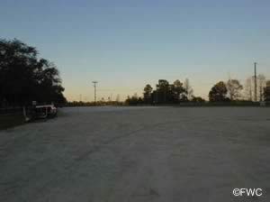
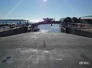
The McCall Everett Park boat ramp on the south side of the dam offers; 2 launching lanes, courtesy docks and parking for 40+/- trailers. No restrooms or other amenities at this location. There is also a ramp on the north side ( freshwater ) of the dam.

mccall everitt park saltwater boat ramp in bay county florida 32404fishing mccall everett park south panama city


boat ramp near the deer point lake spillway parking at mccall everitt boat ramp northern part of north bay


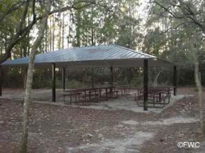
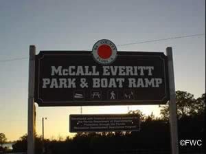
picnic pavilions at mccal everitt park bay county florida mccall everitt park and boat ramp sign


McKenzie Road Boat Ramp
mckenzie road boat ramp southport, fl McKenzie Road ( west end )
Southport, FL 32409
McKenzie road does not populate well into mapping. Use our map at bottom of page to familiarize yourself with area.

GPS 30° 16'21.76" N    85° 38'59.00" W
( Waters edge at ramp )

Go to map of boat ramps in Bay County

weather near McKenzie Road boat ramp Florida   Tides McKenzie Road boat ramp


The McKenzie Road boat ramp operated by Bay County offers; 2 single lane ramps, boat trailer parking for about 12, watch the north lane for broken & missing concrete, courtesy dock, and portable toilet.

mckenzie road boat ramp southport floridamckenzie road boat ramp southport florida


Panama City Marina Boat Ramp
panama city marina boat ramp on st andrews bay florida 1 Harrison Avenue
Panama City, FL 32401

GPS 30° 09'03.19" N    85° 39'47.52" W
( Waters edge at ramp )

Go to map of boat ramps in Bay County

weather near Panama City Marina boat ramp Florida   Tides Panama City Marina boat ramp


panama city marina saltwater boat ramp in bay county florida 32401


docks at panama city marina boat ramp parking at the panama city marina


sign at panama city marina view of st andrews bay from panama city marina


Powell Lake Boat Ramp
Closest intersection is;
   Lake Powell Drive & Lakeview Drive
   Panama City Beach, Florida 32413
From the above intersection go ¼ mile west on Lakeview Drive, park is on the right.

GPS 30° 16'05.11" N    85° 58'29.35" W
( Waters edge at ramp )

The Powell Lake boat ramp offers; single launching lane, courtesy docks, parking for 10 boat trailers, pavilions and restrooms.

Quail Street Boat Ramp
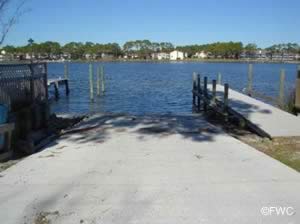
quail street boatt ramp Located at the north end of;
   Quail Street
   Panama City, FL 32408

GPS 30° 09'21.91" N    85° 45'51.11" W
( Waters edge at ramp )

Go to map of boat ramps in Bay County

weather near Quail Street boat ramp Florida   Tides Quail Street boat ramp


This ramp would be considered a neighborhood ramp as there is parking for maybe 3 vehicles and courtesy dock. No other amenities.

quail street saltwater boat ramp in bay county florida 32408


quail street boat launching ramp bay county florida


Safari Street Boat Ramp
safari street boat ramp near lower grand lagoon Located at the north end of;
   Safari Street
   Panama City, FL 32408

GPS 30° 09'24.97" N    85° 46'00.65" W
( Waters edge at ramp )

Go to map of boat ramps in Bay County

weather near Safari Street boat ramp Florida   Tides Safari Street boat ramp


The Safari Street boat ramp on the Grand Lagoon is operated by Bay County and offers; Boat ramp, courtesy dock, limited parking for about 4 vehicles with trailers. No restrooms or other amenities at this location.
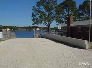
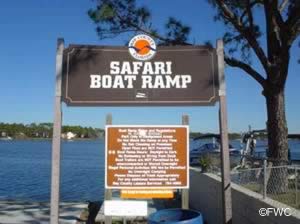
safari street saltwater boat ramp in bay county florida 32408


panama city safari street boat launching ramp safari ramp sign


Saint Andrews State Park Boat Ramp
st andrews state park saltwater boat ramp bay county florida 4607 State Park Lane
Panama City, FL 32408

850-233-5140

GPS 30° 07'57.87" N    85° 43'52.76" W
( Waters edge at ramp )

GPS 30° 08'06.11" N    85° 44'32.58" W
( Entrance to park )

Go to map of boat ramps in Bay County

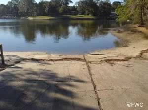
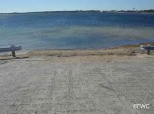
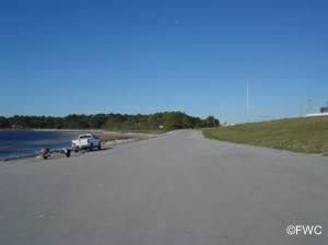
St Andrews State Park boat ramp offers; 2 launching lanes, courtesy docks, 18 trailer parking spaces directly at ramp and restrooms. Additional fees do apply at this location for the launching of boats.

weather near Saint Andrews State Park boat ramp Florida   Tides Saint Andrews State Park boat ramp


saint andrews state park saltwater boat ramp in bay county florida 32408saltwater fishing st andrews bay at state parkfish cleaning station at st andrews state parkpicnic area a st andrews state park in bay county floridarestrooms at st andrews state park panama city florida


parking at the st andrews state park ramp view of st andrews bay from the boat launching ramp


fish cleaning station at st andrews state park boat ramp picnic along grand lagoon at st andrews state park


restrooms at st andrews state park st andrews state park sign


Shoreline Circle Boat Ramp - Pretty Bayou
shoreline circle boat launching ramp on pretty bayou 3716 Shoreline Circle
Panama City, FL 32405

GPS 30° 11'55.32" N    85° 42'21.27" W
( Waters edge at ramp )

Go to map of boat ramps in Bay County

weather near Shoreline Circle boat ramp Florida   Tides Shoreline Circle boat ramp


The Shoreline Circle boat ramp sits along Pretty Bayou which is just off of North Bay and offers; Single lane ramp, courtesy dock, parking limited to about 6 - 8 boat trailers. No restrooms at this location.
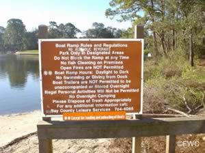
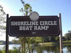
shoreline circle saltwater boat ramp in bay county florida 32405


Boat launching ramp is open 24 hours a day for loading and unlaoding of vessels panama city shoreline circle boat ramp


Tyndall Air Force Base Public Access Boat Ramp
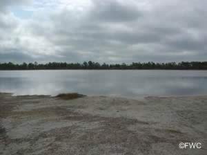
public access boat ramp on research road tyndall air force base

GPS 29° 57'59.68" N    85° 27'53.06" W
( Waters edge at ramp )

GPS 29° 58'30.13" N    85° 27'52.89" W
( Research Road and Route 98 intersection )

Go to map of boat ramps in Bay County

weather near Tyndall Air Force Base Public boat ramp Florida   Tides Tyndall Air Force Base Public boat ramp


Coming from the east the intersection of Research Road and Route 98 is about 2.7 miles west of the last bridge you cross on 98 coming out of Mexico Beach.
Coming from the west the intersection of Research Road and Route 98 is about 13 miles east of the Dupont Bridge ( Rt 98 ) that crosses the East Bay.
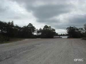
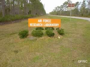
tyndall afb research road saltwater boat ramp in bay county florida 32403


parking at the tydall air force base public boat ramp research road on tyndall afb sign


West Hathaway Bridge Boat Ramp
west hathaway bridge boat ramp panama city florida Southwest end of the Hathaway Bridge on Hwy 98
Panama City, FL 32408

The West Hathaway ramp is only accessible from the east / north bound lanes of Hwy 98.

GPS 30° 11'14.97" N    85° 44'54.14" W
( Waters edge at ramp )

Go to map of boat ramps in Bay County

weather near West Hathaway Bridge boat ramp Florida   Tides West Hathaway Bridge boat ramp


The West Hathaway ramp is only accessible from the east / north bound lanes of Hwy 98 and offers; single launching lane and parking for maybe 5 boat trailers. No courtesy docks or restrooms at this location.

west hathaway bridge saltwater boat ramp in bay county florida 32408


parking for vehicles with trailers at west hathaway bridge boat ramp picnic along st andrews bay at west hathaway bridge boat ramp


Useful Links
Florida Saltwater Fishing RegulationsSafe Handling of Self Caught Seafood
Tide Charts: St Andrews Bay,
Apalchicola Bay & St George Sound
Saltwater Fish Species of Florida
Videos of Fishing KnotsSeafood Recipes
Fishing Calendar for the Gulf of Mexico
Map Showing Boat Ramps Bay County Florida
Map Showing All Florida Fishing Piers Listed on Saltchef.com
Map Showing All Florida Salt & Brackish Boat Ramps Listed on Saltchef.com
top of page
Areas in Bay County Florida Includes; Bayou George, Callaway, Cedar Grove, Fountain, Laguna Beach, Lynn Haven, Lower Grand Lagoon, Mexico Beach, Panama City Beach, Panama City, Panama City Beach, Parker, Pretty Bayou, Santa Monica, Southport, Springfield, Sunnyside, Tyndall AFB, Upper Grand Lagoon, Vicksburg and Youngstown.
 
Saltwater & Brackish Bodies of Water in Bay County Florida Includes; Alligator Bayou, Anderson Bayou, Beatty Bayou, Blind Alligator Bayou, Bunkers Cove, California Bayou, Callaway Bayou, East Bay, Fannin Bayou, Fred Bayou, Gainer Bayou, Goose Bayou, Grand Lagoon, Gulf of Mexico, Harrison Bayou, Hodges Bayou, Johnson Bayou, Laird Bayou, Lake Van Vac, Little Johnson Bayou, Lynn Haven Bayou, Massalina Bayou, Murray Bayou, Newman Bayou, North Bay, Parker Bayou, Pearl Bayou, Posten Bayou, Pratt Bayou, Pretty Bayou, Richard Bayou, Robinson Bayou, Saint Andrews Bay, Saint Andrews Sound, Smack Bayou, Strange Bayou, Upper Goose Bayou, Warren Bayou, Watson Bayou, West Bay and Wild Goose Lagoon.

Home About Sitemap Credits Privacy Advertise Contact

Copyright 2010 - 2021