Walton County, Florida ~ Boat Ramps
- National &
State Parks - County &
City Parks - Beaches
Walton - Boat Ramps
Walton - Fishing Piers
Walton - Map of
Boat Ramps - Boat Ramps
Adjoining Counties
Salt & Brackish Water Boat Ramps in Walton County, Choctaw Beach, Freeport & Miramar Fl
Seach our site below
Alaqua Park Boat Ramp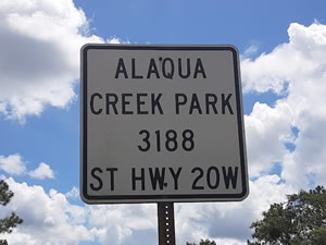 16 Johns Lane
Freeport, FL 32439
or;
3188 ST HWY 20W
Freeport, FL 32439
850-892-8108
Hours: Dawn to Dusk
GPS 30° 30'44.76" N 86° 11'11.58" W
( Waters edge at ramp )
NOAA Valparaiso, FL 8729501
|
|
|
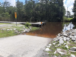
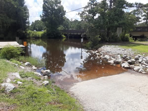
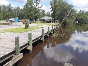
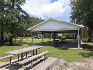
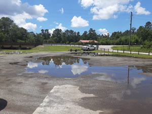
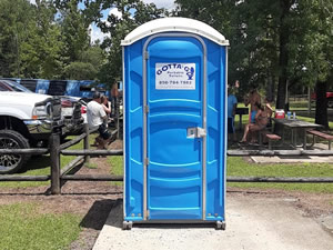
On Alaqua Bay in Freeport Florida Alaqua Park offers; Single launching lane, non floating courtesy docks, hand launching of kayaks, large picnic pavilion, grills, parking for about 10-12 boat trailers and portolet toilet. from here it is about a 2 mile trip down the water to the Alaqua Bayou and about another 1.5 miles to the Choctawhatchee Bay. The bridge clearance is low and canoes or kayaks travel south, boat trafic would most likely go in a northerly direction.
Black Creek Landing Boat Ramp
Closest major intersection is;
Black Creek Boulevard & Black Creek Road
Freeport, FL 32439
Approx. 7/10ths of a mile east / south on Black Creek Boulevard from the above intersection.
Just pass over the bridge crossing Black Creek.
GPS 30° 27'03.24" N 86° 04'05.31" W
( Waters edge at ramp )
Go to map of boat ramps in Walton County
NOAA Valparaiso, FL 8729501
|
|
|
The Black Creek Landing boat ramp offers; single launching lane, courtesy dock, kayak launching and parking for 2-3 trailers.
Charles Cessna Landing Boat Ramp
 Hogtown Bayou Lane
Freeport, FL 32459
GPS 30° 23'55.38" N 86° 13'43.90" W
( Waters edge at ramp )
Go to map of boat ramps in Walton County
|
|
|
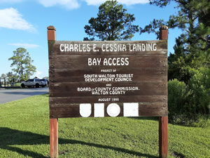
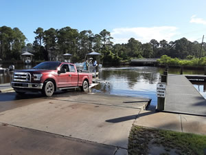
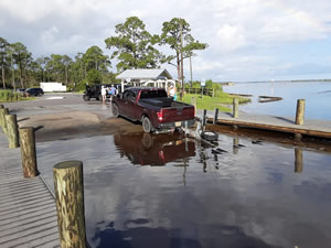
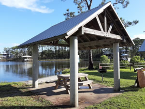
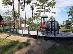
The Charles Cessna Landing boat ramp along Hogtown Bayou and near Choctawhatchee Bay offers; 2 launching lanes, courtesy dock, 16 designated boat trailer parking spaces, playground, picnic pavilion, grills and restrooms.
A fishing dock on site also.
Choctaw Beach Wayside Park Boat Ramp
 12481 FL-20 West
Freeport, FL 32439
GPS 30° 28'36.15" N 86° 19'50.78" W
( Waters edge at ramp )
Go to map of boat ramps in Walton County
|
|
|
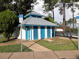
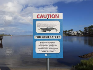
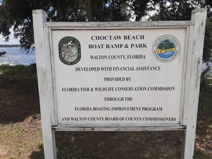
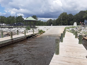
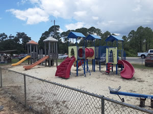
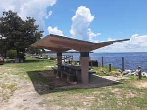
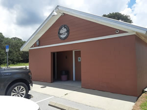
The Choctaw Beach Wayside Park boat ramp is located along Choctawhatchee Bay and offers; Single lane ramp, non flaoting courtesy docks, parking for about 10 trailers, small picnic pavilions, playground, small splash park ( unsure of operating hours ), shoreline fishing and restrooms.
East Hewett Road Boat Ramp
East Hewett Road & Bay Circle Drive
Santa Rosa Beach, FL 32459
GPS 30° 23'54.00" N 86° 16'44.90" W
( Waters edge at ramp )
Go to map of boat ramps in Walton County
NOAA Valparaiso, FL 8729501
|
|
|
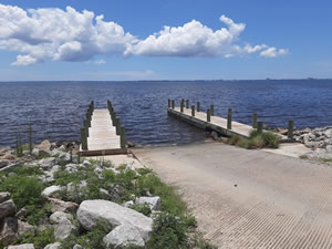
The East Hewett Road boat ramp offers; Single lane gravel ramp with shallow water. Shallow draft boats only. Located at the north end of East Hewett Road, south side of Choctawhatchee Bay. No officially designated parking area, possible to park 1-2 vehicles on the side of the road. Land to the east side belongs to Walton County.
Eastern Lake Boat Ramp ~ Brackish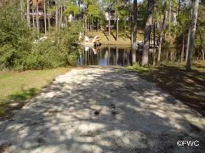 Lakeview Drive & Lakewood Drive
Freeport, FL 32459
GPS 30° 18'33.95" N 86° 05'21.34" W
( Park entrance )
Go to map of boat ramps in Walton County
|
|
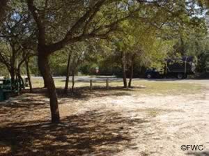
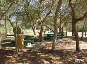
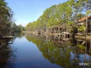
Eastern Lake is a coastal dune lake which has brackish water fishing opportunities.
Four Mile Creek Landing Boat Ramp
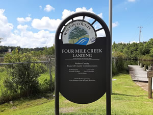 North Street & 2nd Avenue
Freeport, FL 32439
GPS 30° 29'30.41" N 86° 08'24.09" W
( Waters edge at ramp )
Go to map of boat ramps in Walton County
NOAA Valparaiso, FL 8729501
|
|
|
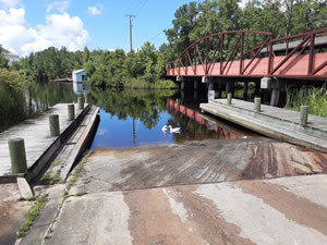
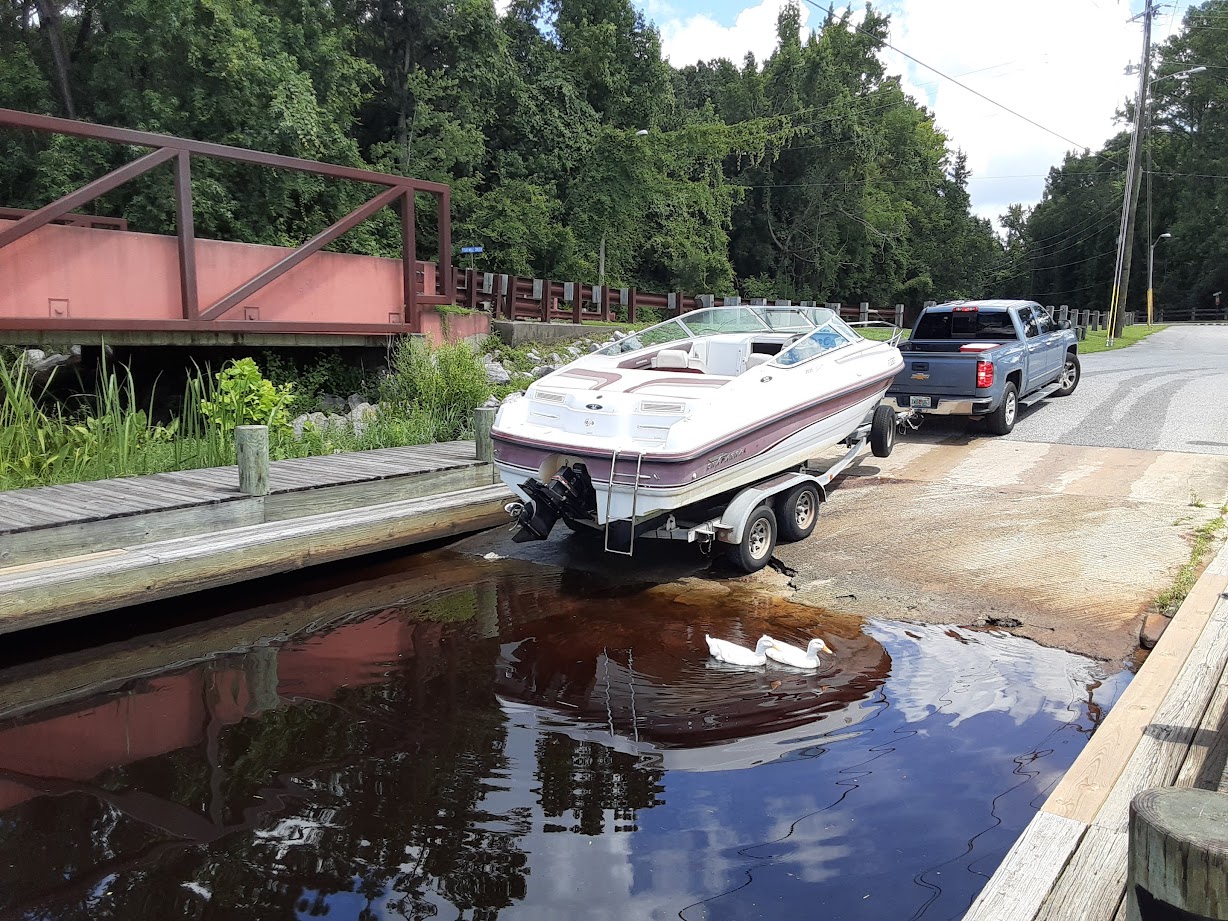
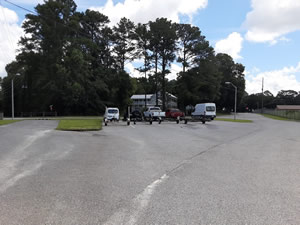
Operated by The City of Freeport, the Four Mile Creek Landing boat ramp offers; Single lane ramp, non-floating courtesy docks with lights and parking for about 9 boat trailers. Be aware of the concrete ramp ending near the end of the courtesy docks.
No restrooms at this location.
Grady Brown Park Boat Ramp & Kayak Launch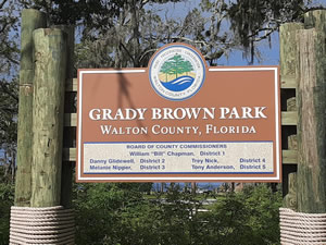 20940 US-331
Freeport, FL 32439
GPS 30° 25'58.13" N 86° 09'17.26" W
( Ramp area )
GPS 30° 25'55.47" N 86° 09'16.13" W
( Kayak launch area )
|
|
|
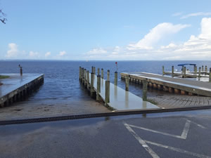
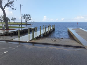
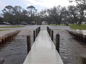
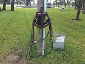
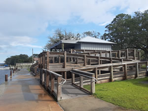
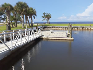
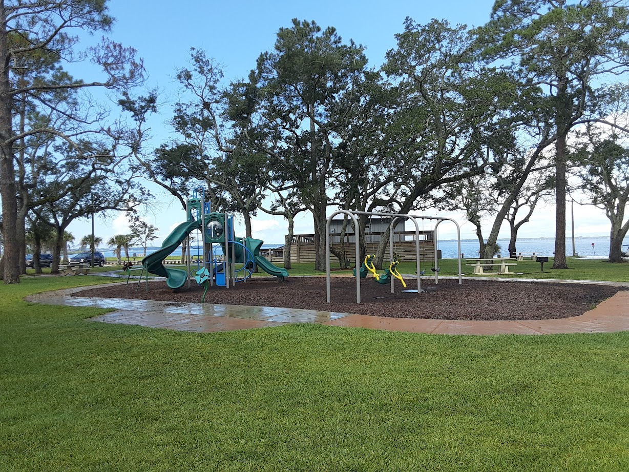
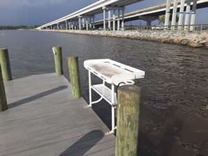
Grady Brown Park in Freeport, Florida along the northeastern Choctawhatchee Bay offers; 2 launching lanes, non-floating courtesy docks, 3 finger piers, boat washdown station, beautiful floating handicaped accessible kayak launch, picnic tables, grills, playground, shoreline fishing and restrooms.
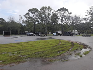
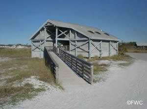
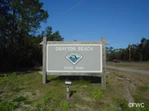
Grayton Beach State Park Boat Ramp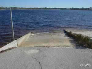 357 Main Park Road
Santa Rosa Beach, FL 32459
A land locked brackish lake near the Gulf
GPS 30° 19'35.37" N 86° 09'19.69" W
( Waters edge at ramp )
GPS 30° 20'02.96" N 86° 09'29.00" W
( Entrance to Park )
Go to map of boat ramps in Walton County
|
|
No tide info here.
Boat ramp goes to Western Lake which is a brackish water lake located very close to the Gulf of Mexico.
Harbor Island Ferry Terminal / Point Washington Boat Ramp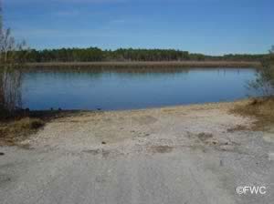 1500 North County Highway 395
Point Washington, FL 32459
GPS 30° 22'22.10" N 86° 06'53.56" W
( Waters edge at ramp )
Go to map of boat ramps in Walton County
|
|
|
On Tucker Bayou in Point Washington, Florida the Harbor Island ~ Point Washington boat ramp offers; single lane ramp, parking for about 6 trailers along road and courtesy docks. Please be aware that Tucker Bayou is very shallow!
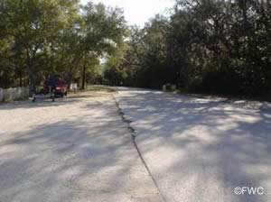
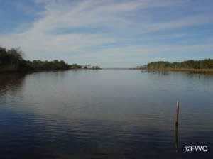
Legion Park Boat Ramp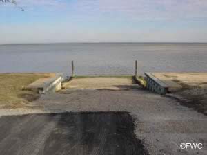 119 Crest Drive
Miramar Beach, FL 32550
GPS 30° 23'13.38" N 86° 21'31.58" W
( Waters edge at ramp )
Go to map of boat ramps in Walton County
|
|
|
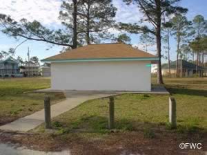
Legion Park boat ramp on the south side of Choctawhatchee Bay is operated by Walton County and offers; Single lane ramp suitable for shallow draft vessels,, parking for about 10-15 vehicles, playground, picnic area and restrooms. Easily launch your kayak or canoe at this location.
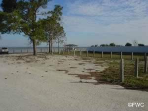
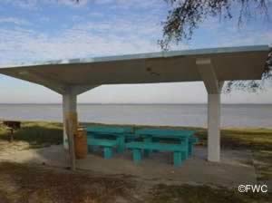
Marse Landing at Four Mile Creek Boat Ramp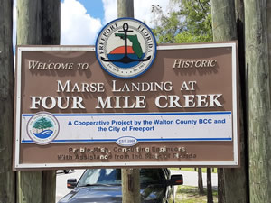 Closest intersection is;
Madison Street & Shipyard Road
Freeport, FL 32439
Ramp is 4/10ths of a mile south on Shipyard Road from the above intersection.
GPS 30° 29'10.60" N 86° 08'11.73" W
( Waters edge at ramp )
NOAA Valparaiso, FL 8729501
|
|
|
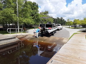
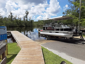
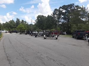
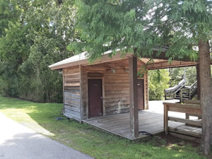
The Marse Landing boat ramp also known as Four Mile Creek is operated by the City of Freeprt and offers; 2 lane ramp, non-floating courtesy docks, 8 paved boat trailer parking spaces and restrooms. There is also a large area for mooring of boats.
Portland Landing Boat Ramp & Hand Launch 3609 Portland Park Road
Freeport, FL 32439
1-850-892-8108
Hours; Dawn - Dusk
GPS 30° 30'26.36" N 86° 11'36.76" W
( Waters edge at ramp )
Go to map of boat ramps in Walton County
|
|
|
The Portland Landing Park boat ramp along Alaqua Creek offers; single lane ramp, non-floating courtesy docks, hand launching of canoes and kayaks, parking for 8-10 vehicles with trailers, picnic pavilion, BBQ grill and port-o-let.


Thomas Pilcher Park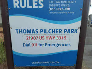 21987 US-331
Santa Rosa Beach, FL 32459
GPS 30° 23'50.94" N 86° 10'10.42" W
( Ramp area )
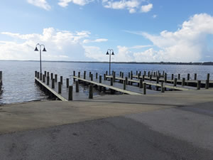
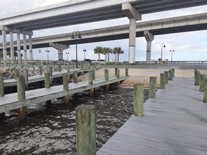
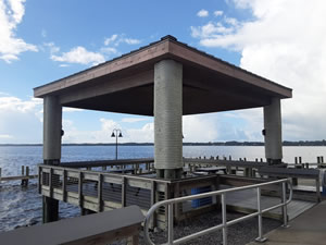
Thomas Pilcher Park offers; 4 launching lanes, 21 boat trailer parking spaces, courtesy docks, restrooms. There is also a fishing pier and fishing deck on site.
Go to map of boat ramps in Walton County
NOAA Valparaiso, FL 8729501
|
|
|
Useful Links
| Public Boat Ramps in Walton County Florida |
| Areas in Walton County Florida Includes; Argyle, DeFuniak Springs, Eucheanna, Euchee Valley, Freeport, Glendale, Grayton Beach, Miramar Beach, Mossy Head, Paxton, Seaside and Santa Rosa Beach. |
| Areas of Salt and Brackish Water in Walton County Florida Includes; Alaqua Bayou, Alaqua Creek, Black Creek, Choctawhatchee Bay, Choctawhatchee River, Cypress River, Duck Lake, Fourmile Creek, Goodwin Creek, Gulf of Mexico, Hogtown Bayou, Indian River, Mallet Bayou, Mitchell River, Ramsey Branch, Sister River, West Bayou. |
![]() Home
Home ![]() About
About ![]() Sitemap
Sitemap ![]() Credits
Credits
![]() Privacy
Privacy ![]() Advertise
Advertise ![]() Contact
Contact ![]()
