Camden County, Georgia ~ Fishing Piers
- National &
State Parks - County &
City Parks - Beaches
Camden - Boat Ramps
Camden - Fishing Piers
Camden - Map of
Fishing Piers - Fishing Piers
Adjoining Counties
Public Fishing Piers and Bridges in Camden County, Georgia
Seach our site below
Crooked River State Park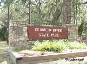 6222 Charlie Smith Sr. Highway
St. Marys, GA 31558
1-912-882-5256
GPS 30° 50' 25.07" N 81° 33' 42.81" W
( Main Entrance )
|
|
|
Dark Entry Creek Fishing Dock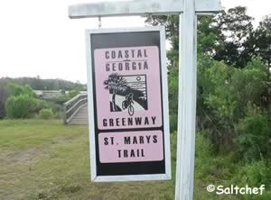 Closest intersection is;
Kingsland St Marys Road & Shadowlawn Drive
St. Mary's, GA 31558
Entrance is 650 feet east of the above intersection on Kingsland St Marys Road
GPS 30° 45' 12.57" N 81° 35'00.97" W
|
|
|
Part of the Coastal Georgia Greenway, the St Mary's Trail access offers; fishing of Dark Entry Creek & kayak launching. There is a fair amount of parking. No restroom facilities at this location.
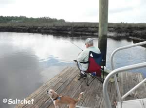
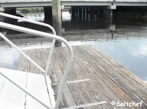
Fishing Trestle in White Oak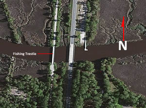 Closest intersection is;
Ocean Highway & Burnt Fort Road
White Oak, GA 31568
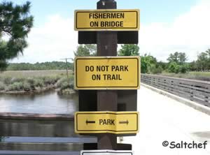
At the above intersection go west on Burnt Fort Road for 100 feet turn into what looks like a walking path, you can drive down much closer to the fishing trestle. Watch your speed down the trail, as you can be ticketed. it is tight turning around near the trestle for large vehicles.
GPS 31° 02' 10.74" N 81° 43' 50.01" W
( Center of trestle bridge )
NOAA Ceylon 8678466
|
|
|
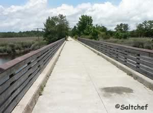
The fishing tresle is about 135' in length over the waters of White Oak Creek. Vehicle access is possible on this portion of the rails to trails to the southern side of the trestle. Please be aware that it can be tough turning around if you have a large vehicle. No restrooms at this location.
Howard Gilman Park Fishing Pier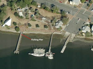 St Marys Street West & St Marys Street
St Marys, GA 31558
GPS 30° 43' 11.70" N 81° 33' 04.44" W
( Foot of pier )
|
|
|
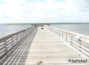
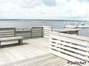
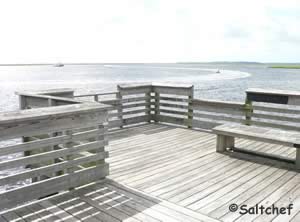
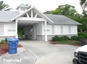
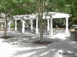
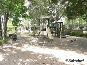
The Howard Gilman Park fishing pier is about 180 feet in length over the north shore of the St Mary's River. Benches at the end of the pier for relaxing. Restrooms, playground and picnic area are all fairly close to the pier. There is a boat ramp on site as well.
Satilla River Waterfront Park Fishing Pier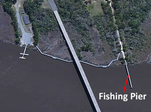 Bedell Avenue ( Route 17 ) & East 1st Street
Woodbine, GA 31569
GPS 30° 58' 26.00" N 81° 43' 36.04" W
( Foot of pier )
NOAA ~ Todd Creek entrance Station 8678412
|
|
|
Satilla River Waterfront Park pier is about 250 feet in length over the Satilla River. There is a walkway from the Satilla Waterfront Park boat ramp on the other side of Route 17 ( Bedell Avenue ). It is about a 1000 foot walk from the boat ramp parking lot to the foot of the pier. The closests restrooms are on boat ramp side.
There is a boat ramp close by in basically the same complex.
Fishing Bridge Along Union Carbide Road
Closest intersection is;
Union Carbide Road & Mary's Drive
St Mary's, GA 31569
About 1 mile east on Union Carbide Road from the above intersection
GPS 30° 53'20.83" N 81° 33'32.94" W
|
|
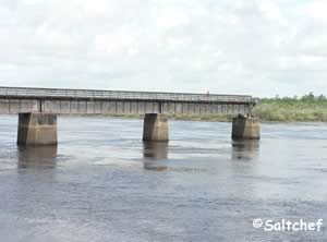
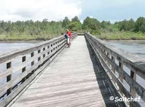
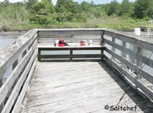
The bridge at Union Carbide Road travels over Deep Creeks upper stretches. No restrooms at this location.
Useful Links
| Fishing Piers and Bridges in Camden County, Georgia |
| Areas in Camden County, Georgia include; Colesburg, Halifax, Harrietts Bluff, Hickory Bluff, Kings Bay Submarine Base, Kinlaw, Scotchville, Seals, St Marys, Woodbine, White Oak and Waverly. |
| Bodies of brackish and saltwater in Camden County, Georgia include; Atalntic Ocean, Bailys Cut, Bearskull Creek, Black Point River, Brickhill River, Brockington Creek, Brokehook Creek, Burrells Creek, Catfish Creek, Crooked River, Cumberland River, Cumberland Sound, Dark Entry Creek, Deep Creek, Delaroche Creek, Denver Cut, Dover Creek, Floyd Creek, Gowrie Creek, Gum Branch, Hawkins Creek, Heads Creek, Honey Creek, Kings Bay, Kirby Creek, Little Satilla River, Maiden Creek, Malknitooh Creek, Marianna Creek, Mill Creek, Millers Branch, Mud Creek, Mumford Creek, North River, Noyles Cut, Point Peter Creek, Sadlers Creek, Saint Andrews Sound, Saras Landing Creek, Satilla River, Shelbine Creek, Shell Creek, Sweeney Creek, Todd Creek, Umbrella Creek, Waverly Creek and White Oak Creek, |
![]() Home
Home ![]() About
About ![]() Sitemap
Sitemap ![]() Credits
Credits ![]() Privacy
Privacy ![]() Advertise
Advertise ![]() Contact
Contact ![]()
