Martin County, Stuart, Jensen Beach, Hobe Sound, Florida ~ Boat Ramps
- National &
State Parks - County &
City Parks - Beaches
- Boat Ramps
Martin - Fishing Piers
Martin - Map of
Boat Ramps
Martin County - Boat Ramps
in
Adjoining Counties
Public Boat Ramps in Martin County, Florida
Seach our site below
Broward Street Boat Ramp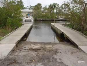 4973 Southeast Dixie Hwy ( A1A )
Stuart, FL 34997
GPS 27° 08'38.78" N 80° 11'39.69" W
( Waters edge at ramp )
Go to map of boat ramps in Martin County
|
|
The Broward Street boat ramp offers; single launching lane, courtesy docks and 6 boat trailer parking spaces. Navigate through the Manatee Pocket towards the Indian River or the Atlantic Ocean. Species such as Sea Trout, Cobia, Tarpon, Mackeral, Kingfish and Bluefish await you.
Check fishing license requirements. No restrooms at this location.
Hosford Park Boat Ramp
Southwest Gaines Avenue & Southeast Paulson Avenue
Stuart, FL 34997
GPS 27° 06'49.20" N 80° 15'15.22" W
( Waters edge at ramp )
Go to map of boat ramps in Martin County
|
|
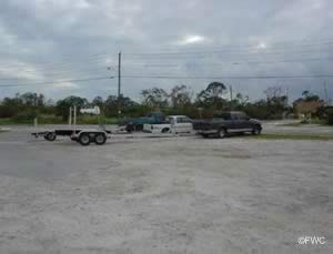
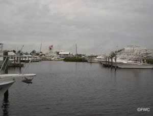
The Hosford Road boat ramp along the South Fork of the St Lucie River offers; single lane ramp for small boats, launching of kayaks and canoes, shoreline fishing, small picnic pavilion, picnic tables and parking for 8-10 vehicles with trailers.
Check fishing license requirements.
Jensen Beach Park Boat Ramp ~ Indian Riverside Park
2065 Northeast Indian River Drive
Jensen Beach, FL 34957
GPS 27° 13'45.92" N 80° 13'01.14" W
( Entrance )
GPS 27° 13'47.96" N 80° 12'57.73" W
( Waters edge at ramp )
Go to map of boat ramps in Martin County
|
|
The Jensen Beach Park Boat Ramp ~ Indian Riverside Park ramp offers; 2 launching lanes into the Indian River, courtesy docks, 62 parking spots and restrooms. Check fishing license requirements.
Jensen Beach Causeway Boat Ramp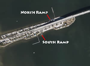 889 Northeast Causeway Boulevard
Jensen Beach, FL 34957
GPS 27° 15'06.22" N 80° 13'23.17" W
( Waters edge at southern ramp )
GPS 27° 15'09.41" N 80° 13'20.21" W
( Waters edge at northern ramp )
GPS 27° 15'06.04" N 80° 13'29.76" W
( Entrance heading westbound on causeway )
GPS 27° 15'04.41" N 80° 13'32.69" W
( Entrance heading eastbound on causeway )
Go to map of boat ramps in Martin County
|
|
Jensen Beach Causeway boat ramp offers; 2 launching lanes, courtesy docks, picnic sites and restrooms. Easy access to great boating and fishing on the Indian River. Fish for Snook, Redfish, Tarpon or Sea Trout in the Indian River, or head out into the Atlantic Ocean and try your hand at Bluefish, Cobia, Sailfish, Kingfish or Mackeral. Please be sure your boat is equipped with the proper gear for a safe trip no matter where you are heading. Check fishing license requirements.
A Fishing pier is on site also.
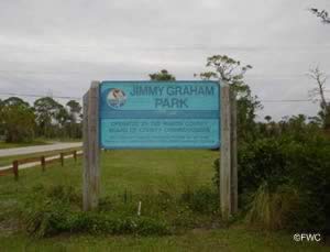
Jimmy Graham Park Boat Ramp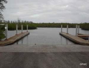 8555 Southest Gomez Avenue
Hobe Sound, FL 33455
GPS 27° 06'05.57" N 80° 08'29.67" W
( Waters edge at ramp )
GPS 27° 05'59.18" N 80° 08'49.91" W
(Entrance )
Go to map of boat ramps in Martin County
|
|
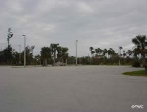
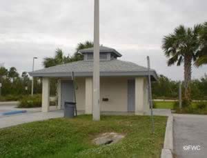
Jimmy Graham Park boat ramp offers; 2 launching lanes, courtesy docks, 41 boat trailer parking spaces and restrooms. The park is located along the Intracoastal Waterway about mid-way between Hobe Sound and the St Lucie Inlet.
Jonathan Dickinson State Park Boat Ramp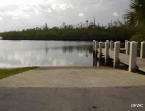 16450 Southeast Federal Highway
Hobe Sound, FL 33455
GPS 26° 59'17.03" N 80° 08'34.16" W
( Waters edge at ramp )
GPS 27° 06'13.23" N 80° 06'01.17" W
( Entrance to park )
Go to map of boat ramps in Martin County
|
|
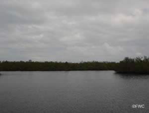
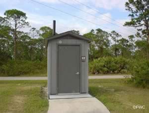
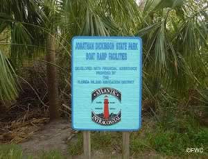
The Jonathan Dickinson State Park boat ramp is along the Loxahatchee River which leads to the Indian River and Jupiter Inlet and beyond. The facility offers; 2 launching lanes, courtesy dock, 8 paved boat trailer spaces directly at ramp, small picnic pavilion and portable toilet.
Information on The Loxahatchee River Aquatic Preserve.
Information on Florida fishing license requirements.
Leighton Park Boat Ramp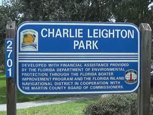 1707 SW Cornell Avenue
Palm City, FL 34990
GPS 27° 10'20.88" N 80° 15'46.62" W
( Waters edge at ramp )
Go to map of boat ramps in Martin County
|
|
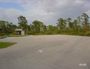
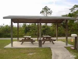
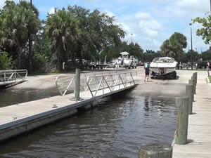
The Leighton Park boat ramp is along the South Fork of the St Lucie River and offers; 3 launching lanes, courtesy docks, 20 boat trailer parking spaces, picnic tables and restrooms. Fish the banks of the South Fork of the St Lucie River near Palm City or launch your boat and go fishing in the Indian River.
Information on Florida fishing license requirements..
Pendarvis Cove Boat Ramp
1000 Southwest Chapman Way
Palm City, FL 34990
GPS 27° 11'15.24" N 80° 16'12.23" W
( Waters edge at ramp )
Go to map of boat ramps in Martin County
|
|
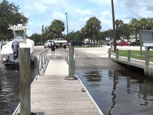
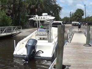
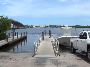
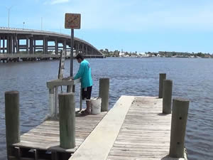
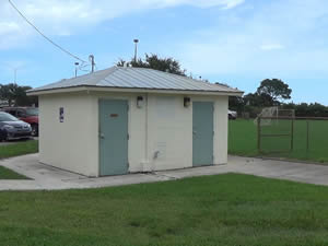
The Pendarvis Cove boat ramp is along the South Fork St Lucie River and offers; single lane ramp, courtesy dock, hand launching, playground, picnic sites and restrooms. Parking for vehicles with trailers is not designated anywhere that could be found.
Check fishing license requirements.
Phipps Park Boat Ramp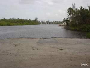 2175 Southwest Locks Road
Stuart, FL 34997
1-772-287-6565
GPS 27° 06'38.54" N 80° 16'59.61" W
( Entrance )
GPS 27° 07'01.96" N 80° 16'27.16" W
( Waters edge at boat ramp )
Go to map of boat ramps in Martin County
|
|
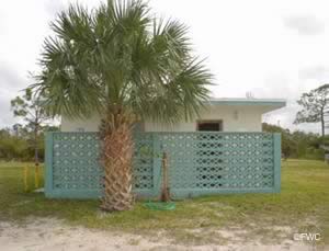
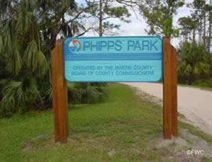
Phipps Park is located near Port Salerno, Palm City and Stuart along the St Lucie Canal and offers; boat ramp, hand launching, pavilion, playground and restrooms. No courtesy docks at this location.
Check fishing license requirements.
Ramp at Locks near Phipps Park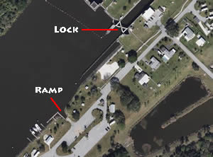 Southwest Canal Street & Southwest Locks Road
Stuart, FL 34997
GPS 27° 06'36.49" N 80° 17'08.27" W
( Waters edge at ramp )
Go to map of boat ramps in Martin County
|
|
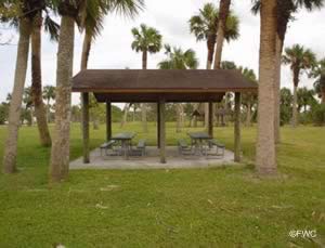
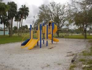
This facility offers; Single lane ramp, courtesy docks, playground, picnic pavilions and restrooms. This ramp puts you into the canal which leads to Lake Okeechobee you can head to the lake ( about 24 miles ), or go through the locks and go down the South Fork of the St Lucie River and head to some great fishing or leisurely boating. The tide chart applies to the eastern side of the lock.
Check fishing license requirements.
Sandsprit Park Boat Ramp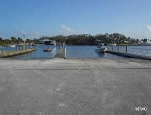 3443 Southeast St. Lucie Boulevard
Stuart, FL 34997
GPS 27°09'44.88" N 80° 11'37.98" W
( Waters edge at ramp )
Go to map of boat ramps in Martin County
|
|
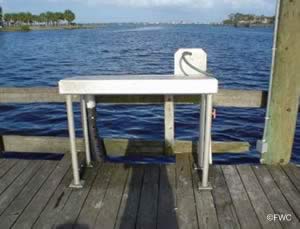
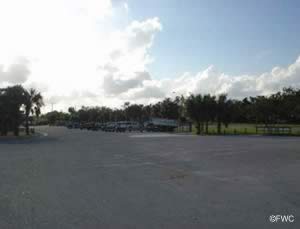
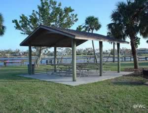
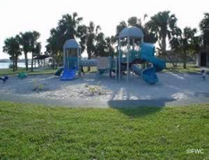
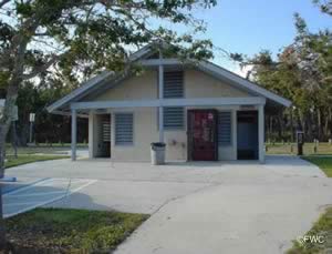
The Sandsprit Park boat ramp offers; 5 launching lanes at two separate areas, courtesy docks, pavilions, playground, restrooms and about 110 boat trailer parking spaces. Located at the mouth of the Manatee Pocket, giving those who use this facility easy access to the Indian River and the
Atlantic Ocean.
A fishing pier on site also.
Check fishing license requirements.
Shepard Park Boat Ramp
600 SW Ocean Boulevard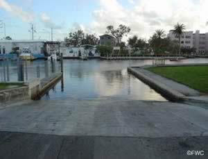 Stuart, FL 34997
Open 24 hours
GPS 27° 11'49.90" N 80° 15' 27.69" W
( Waters edge at ramp )
Go to map of boat ramps in Martin County
|
|
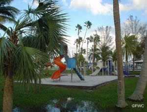
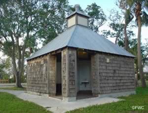
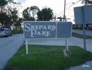
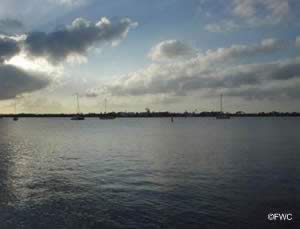
The Shepard Park boat ramp at the northern end of the South Fork St Lucie River offers; 2 launching lanes, courtesy docks, 12 boat trailer parking spaces, picnic tables, playground and restrooms.
Check fishing license requirements.

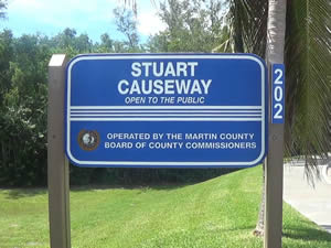
Stuart Causeway Boat Ramp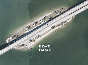 6500 Southeast Ocean Boulevard
Stuart, FL 34997
GPS 27° 12'28.28" N 80° 11'18.91" W
( Waters edge at ramp )
Go to map of boat ramps in Martin County
|
|
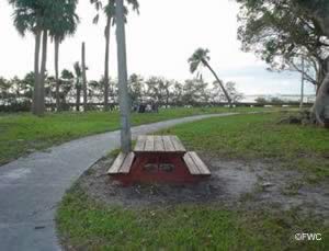
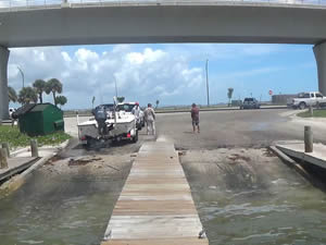
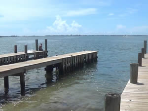
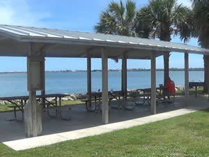
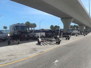
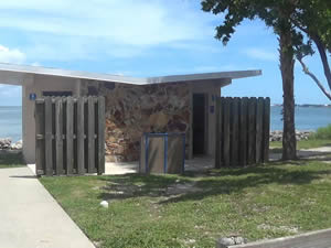
The Stuart Causeway boat ramp offers; 3 launching lanes, non-floating courtesy docks, 30 boat trailer parking spaces many of which are under the shade of the bridge, waterside pavilions, bbq grills and restrooms. Check fishing license requirements..
Useful Links
| Public Boat Ramps in Martin County Florida |
|
|
| Areas in Martin County Florida include;Jupiter Island, Ocean Breeze Park, Sewall's Point, Stuart, Hobe Sound, Hutchinson Island, Indiantown, Jensen Beach, North River Shores, Palm City, Port Salerno, Rio and Port Mayaca. |
| Areas of Brackish and Saltwater in Martin County Florida include;Atlantic Ocean, Great Pocket, Hobe Sound, Hole in the Wall, Intracoastal Waterway, Jupiter Sound, Lake Francis, Manatee Pocket, Peck Lake, South Fork St Lucie River, St Lucie Inlet, St Lucie River and Willoughby Creek. |
![]() Home
Home ![]() About
About ![]() Sitemap
Sitemap ![]() Credits
Credits
![]() Privacy
Privacy ![]() Advertise
Advertise ![]() Contact
Contact ![]()
