Pensacola Florida ~ Boat Ramps
- National &
State Parks - County &
City Parks - Beaches
Escambia - Boat Ramps
Escambia - Fishing Piers
Escambia - Map of
Boat Ramps - Boat Ramps in
Adjoining Counties
Public Boat Ramps near Pensacola, Florida
Seach our site below
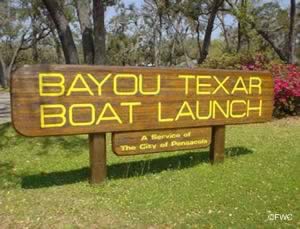
Bayou Texar Boat Ramp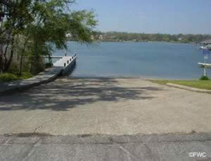 2700 East Cervantes Street
Pensacola, FL 32503
Hours; Daylight - 11pm unless posted otherwise
1-850-436-5190
GPS 30° 25'34.87" N 87° 11'10.83" W
( Waters edge at ramp )
Go to map of boat ramps in
Pensacola ~ Escambia County Area.
|
|
|
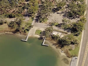
Sitting on 6 acres in Pensacola, the Bayou Texar boat ramp offers; 2 launching lanes, non-floating courtesy docks, 32 boat trailer parking spaces and portable restrooms.
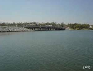
Please be aware that the clearance of the route 90 bridge heading towards the bay is 13 feet +/-.
The clearance of the railroad tressel bridge is 16 feet +/- ( This information was supplied from the FWC map for Escambia and Santa Rosa counties map #SGEB-62 ).
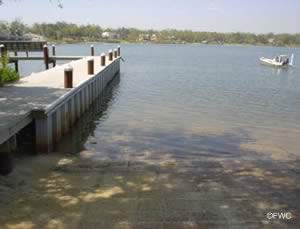
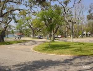
Bayview Park Boat Ramp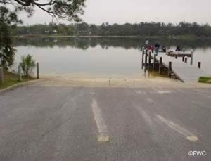 Entrance to boat ramp area;
Osceola Avenue & East Mallory Street
Pensacola, FL 32503
Hours; Daylight - 11pm unless posted otherwise
1-850-436-5190
Published address for park is;
2000 East Lloyd Street
Pensacola, FL 32503
GPS 30° 25'55.99" N 87° 11'18.81" W
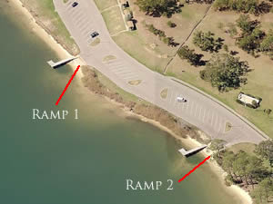
( Waters edge at ramp 1 )
GPS 30° 25'58.83" N 87° 11'15.69" W
( Waters edge at ramp 2 )
GPS 30° 26'00.92" N 87° 11'14.84" W
( Entrance to ramp area )
Go to map of boat ramps in
Pensacola ~ Escambia County Area.
|
|
|
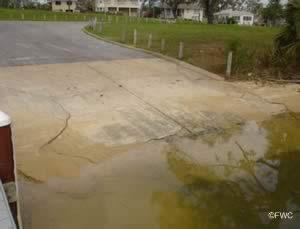
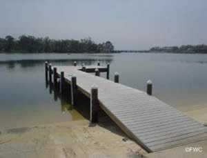
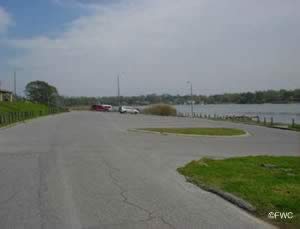
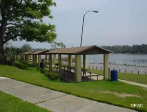
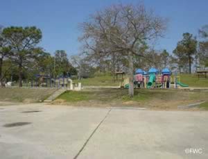
Sitting on 28 acres along Bayou Texar in Pensacola, Bayview Park has alot to offer visitors. The areas amenities and activities include; 2 single lane boat ramps, non-floating courtesy docks, 32 boat trailer parking spaces, picnic pavilions, grills, large playground, pier, dog beach, shoreline fishing, kayak and canoe launching, tennis courts and restrooms. The Bayview Community Center and The Bayview Senior Center are on site also.
Big Lagoon State Park Boat Ramp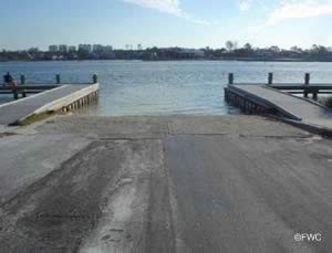 12301 Gulf Beach Highway
Pensacola, FL 32507
Fees apply
Hours; 8am - Sundown
1-850-492-1595
GPS 30° 18'42.24" N 87° 25'18.89" W
( Waters edge at ramp )
GPS 30° 19'18.47" N 87° 24'13.55" W
( Entrance to State Park )
Go to map of boat ramps in
Pensacola ~ Escambia County Area.
Go to map of Big Lagoon State Park.
|
|
|
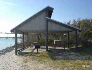
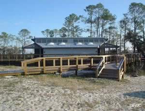
The boat ramp at Big Lagoon State Park offers; Wide single lane ramp, non-floating courtesy docks, 40 boat trailer parking spaces, picnic pavilion near the shoreline & restrooms.
Launch fee applies.
Bill Dickson Park Boat Ramp 3151 Fenceline Road
Pensacola, FL 32507
1-850-475-5220
GPS 30° 21'48.55" N 87° 20'10.79" W
( Waters edge at ramp )
GPS 30° 21'34.98" N 87° 20'12.09" W
( Entrance to park )
Go to map of boat ramps in
Pensacola ~ Escambia County Area.
|
|
|
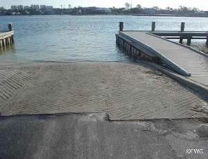
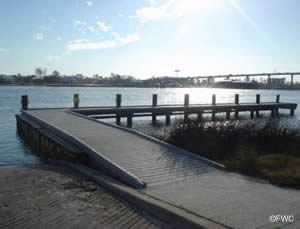
Located on Bayou Grande close to Warrington and Pensacola, the Bill Dickson Park ramp offers; Single launching lane, non-floating courtesy docks, 28 paved boat trailer parking spaces, picnic pavilions, playground and restrooms.
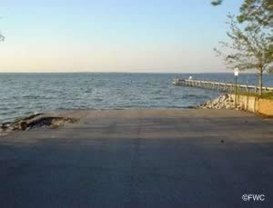
Coronada Boulevard Public Boat Ramp ~ Bad Shape ~ Hand Launch OK
 Closest intersection is;
Innerarity Point Road & Coronada Boulevard
Pensacola, FL 32507
Area is 950' down Coronada Blvd from above.
GPS 30° 19'02.46" N 87° 26'52.00" W
( Waters edge at ramp )
Go to map of boat ramps in
Pensacola ~ Escambia County Area.
|
|
|
No amenities at this location. Parking is limited.
Galvez Landing Boat Ramp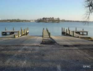 5888 Galvez Road
Pensacola, FL 32507
1-850-436-5670
GPS 30° 18'48.99" N 87° 26'31.11" W
( Waters edge at ramp )
Go to map of boat ramps in
Pensacola ~ Escambia County Area.
|
|
|
Galvez Landing boat ramp is operated by Escambia County and offers; 2 launching lanes, non-flaoting courtesy docks, 46 boat trailer parking spaces, fishing and portolets. Be sure about where you are fishing exactly when you are in Perdido Bay, as it is shared with Alabama and a reciprocal agreement does not appear to exist.
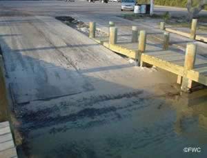
Johnson Beach Road Boat Ramp ( small boats ) ~ Hand Launch
Closest intersection is;
Fort McRae Road & Johnson Beach Road
Pensacola, FL 32507
Alternate close address is;
13300 Johnson Beach Road
Pensacola, FL 32507
A park entry fee applies
GPS 30° 18'10.45" N 87° 24'53.08" W
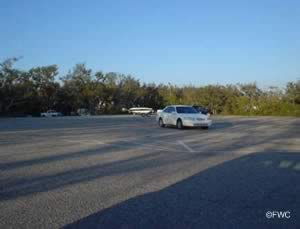
Located along the southwestern end of Big Lagoon on Perdidio Key the area offer a soft launch area 9 designated parking spots. No restrooms directly at this location. Restrooms would be at the beach access on the other side of Fort McRae Road about 1200' walk or drive.
Mahogany Mill Public Boat Ramp
1251 Mahogany Mill Road
Pensacola, FL 32507
GPS 30° 23'59.21" N 87° 14'49.65" W
( Waters edge at ramp area )
|
|
|
The Mahogany Mill located within Bayou Chico offers; 1 wide launching lane and 1 single launching lane, non-floating courtesy docks, paved parking for 49 trailers & portolets.
Millview ~ Heron Bayou Public Boat Ramp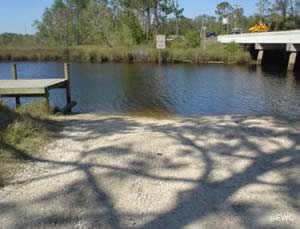 Lillian Highway & Dog Track Road
Pensacola, FL 32506
Ramp area is on the southwest corner
of the above intersection.
GPS 30° 24'09.18" N 87° 22'28.54" W
( Waters edge at ramp )
Go to map of boat ramps in
Pensacola ~ Escambia County Area.
|
|
|
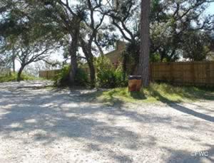
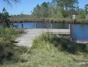
The Millview ~ Heron Bayou is a small boat ramp, with courtesy dock, parking for about 5 small trailers, portolet and sits on about 1 acre near the intersection of Route 98 and Route 298 ( Lillian Highway ) in Pensacola.
Watch the height of the bridge at Route 98 adjacent to the ramp, it is necessary to go under this bridge to access Perdido Bay.
Navy Point Boat Ramp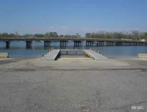 Southeast Greve Road & Southeast Syrcle Drive
Warrington, FL 32507
1-850-475-5220
GPS 30° 22'51.47" N 87° 16'55.69" W
( Waters edge at ramp )
Go to map of saltwater boat ramps in
Pensacola ~ Escambia County Area.
|
|
|
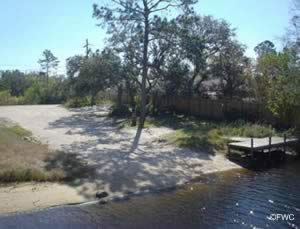
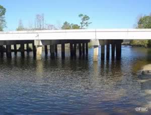
The Navy Point boat ramp offers; 2 double wide launching lanes, non-floating courtesy docks, 45+/- paved boat trailer parking spaces and portable toilets. Please watch the parking rules here, they do give tickets often, no matter how busy the ramp may appear to be.
Pensacola Shipyard Boat Ramp
 700 Hancock Street
Pensacola, FL 32505
Open 24 hours
1-850-439-1451
GPS 30° 24'26.52" N 87° 15'19.58" W
( Waters edge at ramp )
Go to map of boat ramps in
Pensacola ~ Escambia County Area.
|
|
|
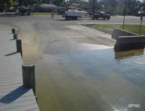
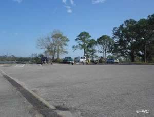
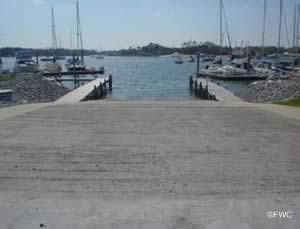
Operated in cooperation with Escambia County, The Pensacola Shipyard boat ramp offers; Double wide launching lane, non-floating courtesy docks, parking for 10-15 boat trailers, picnic area and restrooms. A small daily fee is required for the use of the ramp.
Quietwater Beach Boat Ramp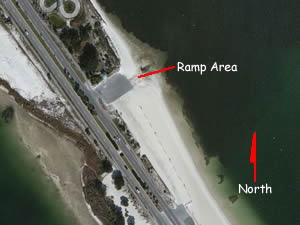 On the southeast side of the Pensacola Beach Causeway, only accessible when heading in the northbound lanes.
GPS 30° 20'20.29" N 87° 08'43.63" W
( Waters edge at ramp )
Go to map of boat ramps in
Pensacola ~ Escambia County Area.
NOAA Fishing Bend, Santa Rosa Sound, FL 8729806
|
|
|
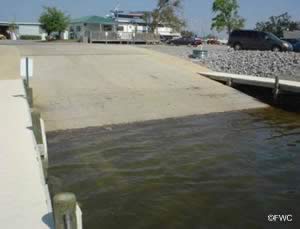
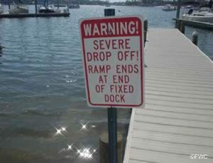
The Quietwater Beach ramp offers; double wide ramp which goes out onto the sand bottom, NO courtesy docks, portable restrooms and about 15-20 parking spaces. Watch for ramp closely, when traveling north look for the small pavilions on the right beachside, entrance is shortly after that! 4x4 is recommended here when launching, best for small boats and personal watercraft.
Sanders Beach Boat Ramp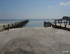 913 South I Street
Pensacola, FL 32502
GPS 30° 23'59.86" N 87° 14'16.20" W
( Waters edge at ramp )
Go to map of boat ramps in
Pensacola ~ Escambia County Area.
|
|
|
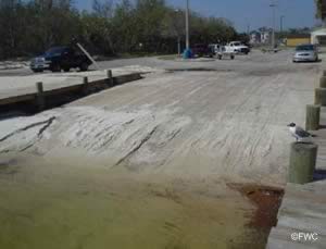
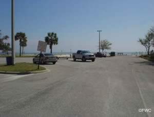
Sanders Beach Park boat ramp is operated by the City of Pensacola and sits on 3.5 acres along the southern end of Pensacola Bay. Amenities include; Single launching lane, courtesy docks, small waterside pavilions, 13 boat trailer parking spaces and restrooms.
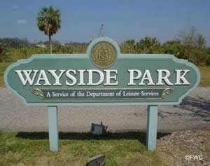
Wayside Park ~ 17th Street Boat Ramp
 1401 East Gregory Street
Pensacola, FL 32502
GPS 30°25'10.67" N 87° 11'37.16" W
( Waters edge at ramp )
Go to map of boat ramps in
Pensacola ~ Escambia County Area.
|
|
|
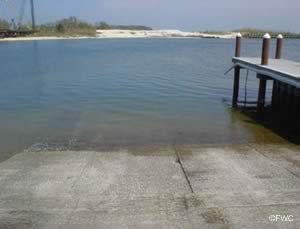
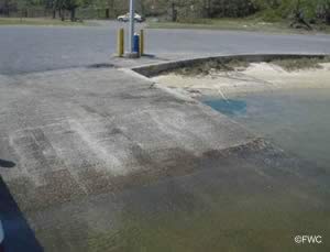
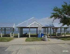
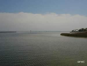
The Wayside Park ~ 17th Street ramp along Pensacola Bay near the Pensacola Bay Bridges north end offers; two separate single launching lane areas, 1 with courtesy dock & about 14 paved boat trailer parking spaces.

Weller Road Boat Ramp ~ Small Boats ~ Hand Launch
Closest intersection is;
Weller Avenue & Aileen Road
Pensacola, FL 32507
Ramp is 300 feet down Weller Avenue from above intersection.
GPS 30° 21'56.28" N 87° 19'48.90" W
( Waters edge at ramp )
NOAA Pensacola, FL 8729840
|
|
|
The Weller Road boat ramp at the top end of Bayou Grande is a primitive ramp and has no amenities and very limited roadside parking.

Wilson B. Robertson Boat Ramp & Canoe Launch
11860 Mobile Highway
Pensacola, FL 32526
GPS 30°31'24.26" N 87° 26'42.99" W
( Waters edge at ramp )
The Wilson B. Robertson Boat Ramp & Canoe Launch offers; 37 paved boat trailer parking spaces, non-floating courtesy docks, restrooms.
Not on map or navigation yet.
Useful Links
| Public Boat Ramps in Escambia County Florida |
| Areas in Escambia County Florida Include; Barrineau Park, Bellview, Beulah, Brent, Cantonment, Century, Ensley, Ferry Pass, Gonzalez, Goulding, Innerarity Point, McDavid, Molino, Myrtle Grove, Pensacola, Pensacola Beach, Perdido Key, Walnut Hill, Warrington and West Pensacola. |
| Bodies of Salt and Brackish Waters in Escambia County Include; Bayou Chico, Bayou Garcon, Bayou Grande, Bayou Texar, Big Lagoon, Bridge Creek, Escambia Bay, Escambia River, Gulf of Mexico, Little Sabine Bay, Macky Bay, Murphys Cove, Pensacola Bay, Perdido Bay, Perdido River, Redoubt Bayou, Santa Rosa Sound, Sherman Cove, Spanish Cove, Tarklin Bay and Tarklin Bayou. |
![]() Home
Home
![]() About
About
![]() Sitemap
Sitemap
![]() Credits
Credits
![]() Privacy
Privacy
![]() Advertise
Advertise
![]() Contact
Contact
![]()
