Charleston County, South Carolina ~ Boat Ramps
- National &
State Parks - County &
City Parks - Beaches
Charleston - Boat Ramps
Charleston - Fishing Piers
Charleston - Map of
Boat Ramps - Boat Ramps
Adjoining Counties
Public Boat Ramps in Charleston County, South Carolina
Seach our site below
Buck Hall Boat Ramp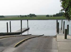 Closest intersection is;
US 17 & Buck Hall Landing Road
McClellanville, SC 29458
Ramp is 6/10ths of a mile down Buck Hall Landing Road from the above intersection.
GPS 33° 02'18.10" N 79° 33'39.19" W
( Waters edge at ramp )
|
|
|
Buck Hall boat ramp managed by the US Forest Service is along the Intercoastal Waterway has 3 launching lanes, courtesy docks, picnic area, about 20 paved boat trailer parking spots & restrooms. The ramp provides super easy access to the Atlantic waters via the Harbor River & Bulls Bay.
There is a fishing pier on site also.
Bulow Landing Boat Ramp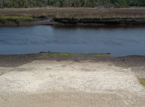 Closest intersection is;
Bulow Landing Road & County Line Road
Charleston County, SC 29470
Ramp is 7/10ths of a mile down Bulow Landing Road from the above intersection.
GPS 32° 49'07.78" N 80° 08'54.90" W
( Waters edge at rampo )
|
|
|
The Bulow Landing boat ramp and hand launch.
No amenities such as courtesy docks or restrooms at this location.
Cherry Landing Boat Ramp
Closest intersection is;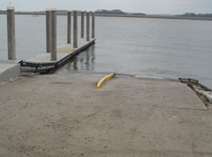 Cherry Point Road & Boat Landing Alley
Wadmalaw Island, SC 29487
Boat ramp is 1/10th of a mile down Boat Landing Alley from above intersection.
GPS 32° 35'52.30" N 80° 10'58.65" W
( Waters edge at ramp )
|
|
|
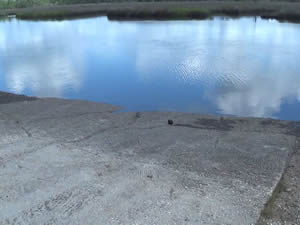
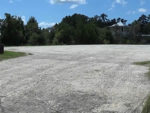
The Cherry Point Landing boat ramp along Bohicket Creek is managed by Charleston County and offers; 2 launching lanes, courtesy dock and parking for about 25 boat trailers, depending on how well the vehicles park. No restrooms at this location.
A fishing pier is on site also.
Dawhoo Landing Boat Ramp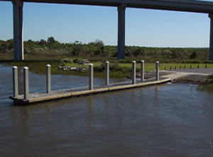 Dawho Road
Be careful as there are 2 Dawho( o ) roads near each other and they confuse entered addresses something terrible.
Best to use actual GPS coordinates below if possible.
GPS 32° 38'09.28" N 80° 20'28.17" W
( Waters edge at ramp )
|
|
|
The Dawhoo Landing boat ramp offers; 2 launching lanes, floating courtesy dock, 34 paved boat trailer parking spaces and 2 hanicapped trailer spaces. No restrooms at this location. A fishing pier is on site also.
Folly Beach Boat Ramp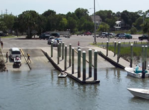 83 Center Street
Folly Beach, SC 29439
Above address is the business next door, the best I could do.
GPS 32° 39'36.22" N 79° 56'36.15" W
( Waters edge at ramp )
|
|
|
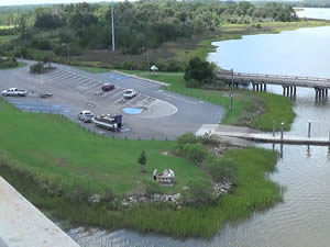
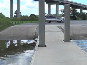
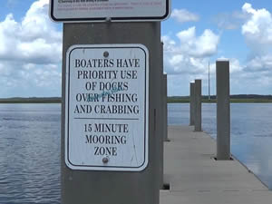
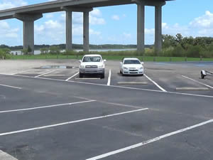
The Folly Beach boat ramp is managed by Charleston County and offers 4 launching lanes, courtesy docks and 57 paved boat trailer parking spaces. No restrooms at this location. Restrooms are available at Folly River Park on the corner of East Indian Avenue & Center Steet.
Garris Landing Boat Ramp ~ AKA Moores Landing
 Closest intersection is;
Bulls Island Road & Mossey Grove Lane
Mount Pleasant, SC 29429
Ramp is 2/10ths of a mile down Bulls Island Road from the above intersection.
GPS 32° 56'22.87" N 79° 39'26.59" W
( Waters edge at ramp )
|
|
|
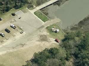
Garris Landing boat ramp is managed by Cape Romain NWR and offers; Single launching lane, floating courtesy dock, parking for about 25 boat trailers and restrooms.
There is also a fishing pier on site.
Harry Hallman JR. - Shem Creek Boat Ramp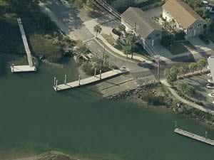 Simmons Street & Mill Street
Mount Pleasant, SC 29464
GPS 32° 47'35.47" N 79° 52'36.10" W
( Waters edge at ramp )
|
|
|
The Harry Hallman Jr - Shem Creek boat ramp along Shems Creek is managed by Charleston County and offers; 2 launching lanes, courtesy dock and 30 boat trailer parking spaces. No restrooms at this location.
John Limehouse Boat Ramp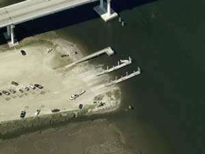 499 Main Road
Johns Island, SC 29455
GPS 32° 46'48.96" N 80° 06'20.82" W
( Entrance to ramp area )
GPS 32° 47'06.44" N 80° 06'23.73" W
( Waters edge at ramp )
|
|
|
The Limehouse boat ramp along the Stono River is managed by Charleston County and offers; 4 launching lanes, courtesy docks and 60+ parking spaces. No restrooms at this location.
A fishing pier is on site also.
Paradise Island Public Boat Ramp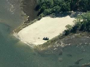 Closest intersection is;
Chandler Road & Pritchard Green Road
Mount Pleasant, SC 29429
Ramp is 3/4 mile down Chandler Road
from the above intersection.
GPS 32° 54'49.41" N 79° 44'13.80" W
( Waters edge at ramp )
|
|
|
Paradise Island public boat ramp is along the Wando River and is managed by Charleston County. This area has 1 launching lane. No amenities at this location. Great place to launch your kayak to explore the upper river sections of the Wando.
Penny Creek Boat Ramp
Closest intersection is;
Penny Creek Road & Norwich Road
Adams Run, SC 29426
Boat ramp is 1/10th of a mile further on Penny Creek Road from the above intersection.
GPS 32° 44'05.18" N 80° 24'37.81" W
( Waters edge at ramp )
|
|
|
The Penny Creek boat ramp is managed by Charleston County and offers; 1 launching lane and parking for 4-5 vehicles. No restrooms at this location.
Pier Point Boat Ramp & Hand Launch
Cedar Lane & Staple Lane
Charleston, SC 29414
GPS 32° 50'16.48" N 80° 02'35.06" W
( Waters edge at ramp )
|
|
|
The Pier Point boat ramp along the Ashley River is managed by the South Carolina Dept. of Transportation and offers 1 launching lane, parking for about 4-5 vehicles. No restrooms at this location.
R.M. Hendricks Boat Ramp & Hand Launch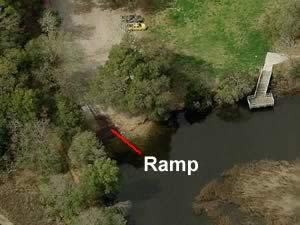 Closest intersection is;
Virginia Avenue & Lincoln Avenue
North Charleston, SC 29405
Entrance is almost across the street from the above intersection.
GPS 32° 53'28.43" N 79° 58'15.01" W
( Waters edge at ramp )
|
|
|
The R.M. Hendricks boat ramp is managed by the Cooper River Parks Commission and offers; 1 launching lane access to the Cooper River, playground, picnic pavilion and restrooms.
Remley's Point Boat Ramp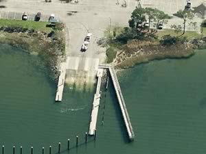 Closest intersection is;
5th Avenue & On the Harbor Drive
Mount Pleasant, SC 29464
Ramp is just down 5th Ave. from the above intersection.
Open 24 hours
GPS 32° 48'48.68" N 79° 54'27.96" W
( Waters edge at ramp )
|
|
|
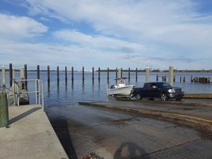
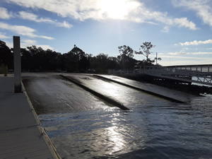
Remley's Point boat ramp on the Wando River is managed by Charleston County and offers; 3 launching lanes, 45 boat trailer parking spaces and courtesy docks.
A fishing pier is on site also.
No restrooms at this location.
Riverland Terrace Boat Ramp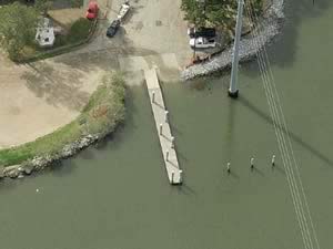 Closest intersection is;
Plymouth Avenue & Wappoo Hall Road
Charleston, SC 29412
Ramp is 1/10th of a mile down Plymouth Ave.
from the above intersection.
GPS 32° 46'06.47" N 79° 59'33.29" W
( Waters edge at ramp )
|
|
|
Riverland Terrace boat ramp on Elliots Cut is managed by Charleston County and offers; 2 launching lanes ( watch the swift currents ), parking for about 20+ boat trailers ( depending on how people park ), courtesy dock, tree shaded playground, picnic tables and benches. No restrooms at this location.
Sol Legare Island Boat Ramp ~ AKA Battery Island
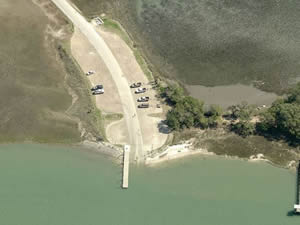 Closest intersection is;
Sol Legare Road & Old Oscar Walker Road
Charleston, SC 29412
Boat ramp is 1 mile down Sol Legare Road from the above intersection.
GPS 32° 40'05.98" N 79° 59'50.49" W
( Waters edge at ramp )
|
|
|
The Sol Legare boat ramp offers; 2 launching lanes, courtesy dock and parking for about 40 boat trailers. No restrooms at this location.
Good location for hand launching of kayaks or canoes.
A fishing pier is on site also.
Steamboat Boat Ramp
Closest intersection is;
Steamboat Landing Road & Jenkins Hill Road
Edisto Island, SC 29438
Ramp is 9/10ths of a mile down Steamboat Landing Road from the above intersection.
GPS 32° 36'09.25" N 80° 17'35.12" W
( Waters edge at ramp )
|
|
|
Steamboat boat ramp sits along Steamboat Creek and is managed by Charleston County and offers; 2 launching lanes, 12-14 boat trailer parking spots, courtesy dock and a fishing pier is on site also.
No restrooms at this location.
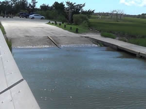
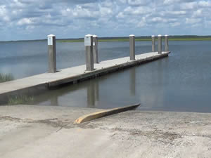
Toogoodoo Boat Ramp
Closest intersection is;
Toogoodoo Road & Parrishville Road
Meggett, SC 29449
Ramp is 1.1 miles down Parrishville Road at the bend to the right continue straight.
GPS 32° 41'18.59" N 80° 17'46.59" W
( Waters edge at ramp )
|
|
|
Toogoodoo boat ramp sits on Toogoodoo Creek and is managed by Charleston County and offers; 1 launching ramp and shoulder parking for about 5 boat trailers.
No restrooms at this location.
W.O. Thomas Country Farm Boat Ramp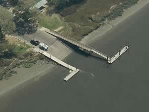 Bridge View Drive & Corporate Road
North Charleston, SC 29405
GPS 32° 50'09.94" N 80° 01'16.80" W
( Waters edge at ramp )
|
|
|
Managed by Charleston County, 2 lanes, 95 boat trailer parking spots, courtesy docks, pavilion, picnic tables, benches and restrooms.
A fishing pier is on site also.
Wappoo Cut Boat Ramp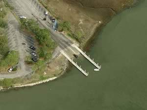 Closest intersection is;
Folly Road & Nashmor Drive
Charleston, SC 29407
Boat ramp is 1/10th of a mile south on Folly Road. Entrance will be on left traveling in a southerly direction.
GPS 32° 46'02.38" N 79° 58'22.05" W
( Waters edge at ramp )
|
|
|
The Wappoo Cut boat ramp is managed by Charleston County and offers; 3 launching lanes, 56 boat trailer parking spaces, courtesy docks, picnic tables and restooms.
Willtown Bluff Boat Ramp
Closest intersection is;
Parkers Ferry Road & Willtown Road
Hollywood, SC 24949
Continue down Willtown Road sharp bend to left, sweeping curve to right, ramp is straight ahead. total Mileage is about 1 mile to ramp from above intersection.
GPS 32° 40'43.42" N 80° 24'58.18" W
( Waters edge at ramp )
|
|
|
Willtown Bluff boat ramp is located along the Edisto River.
Useful Links
| Public Boat Ramps in Charleston County, South Carolina |
| Areas in Charleston County, South Carolina include; Awendaw, Charleston, Folly Beach, Hollywood, Isle of Palms, Kiawah Island, Lincolnville, McClellanville, Meggett, Mount Pleasant, North Charleston, Ravenel, Rockville, Seabrook Island and Sullivans Island. |
| Bodies of brackish and saltwater in Charleston County, South Carolina include; Adams Creek, Alligator Creek, Anderson Creek, Ashley River, Atlantic Ocean, Bass Creek, Big Bay Creek, Black Island Creek, Bohicket Creek, Breach Inlet, Bulls Bay, Bull Harbor, Bull River, Bullyard Sound, Cape Romain Harbor, Capers Creek, Capers Inlet, Casino Creek, Charleston Harbor, Church Creek, Cinder Creek, Clark Creek, Clark Sound, Clawson Creek, Clouter Creek, Conch Creek, Congaree Boat Creek, Copahee Sound, Copper River, Dawho River, Deep Creek, Dewees Inlet, Devils Den Creek, Dupre Creek, Five Fathoms Creek, Folly River, Goose Creek, Graham Creek, Grays Sound, Green Creek, Grove Creek, Hamlin Creek, Hamlin Sound, Harbor River, Haulover Creek, Hobcaw Creek, Horsebend Creek, Horse Head Creek, Intercoastal Waterway, James Island Creek, Jeremy Creek, Key Creek, Kiawah River, King Flats Creek, Leadenwah Creek, Lighthouse Inlet, Little Pappas Creek, Long Creek, Mark Bay, Mathews Creek, Mill Den Creek, Muddy Bay, Nellie Creek, New Cut, Noisette Creek, North Edisto River, Oak Island Creek, Oyster Bay, Parrot Point Creek, Pappas Creek, Price Creek, Privateer Creek, Racoon Creek, Ram Horn Creek, Rat Island Creek, Robbins Creek, Romain River, Santee Path Creek, Santee River, Schooner Creek, Sett Creek, Seven Reaches Creek, Sewee Bay, Shem Creek, Shrine Creek, Sol Legare Creek, Steamboat Creek, Stono, Swinton Creek, Tibwin Creek, Toogoodoo Creek, Toomer Creek, Wadmalaw River, Wando River, Wappoo Creek and Yellow House Creek. |
![]() Home
Home
![]() About
About
![]() Sitemap
Sitemap
![]() Credits
Credits
![]() Privacy
Privacy
![]() Advertise
Advertise
![]() Contact
Contact
![]()
