Colleton County, South Carolina ~ Boat Ramps
- National &
State Parks - County &
City Parks - Beaches
Colleton - Boat Ramps
Colleton - Fishing Piers
Colleton - Map of
Boat Ramps - Boat Ramps
Adjoining Counties
Public Boat Ramps in Colleton County, South Carolina
Seach our site below
Bennett's Point Boat Ramp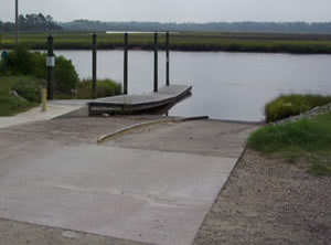 15819 Bennetts Point Road
Green Pond, SC 29446
GPS 32° 33'27.92" N 80° 27'19.13" W
( Waters edge at ramp )
NOAA Hutchinson Island 8667351
|
|
|
The Bennett's Point boat ramp along the Ashepoo River offers; 2 launching lanes, courtesy docks & parking for about 15 trailers. No restrooms at this location.
Brickyard Ferry Boat Ramp ~ Small ~ Hand Launch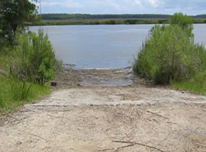 Closest intersection is;
Bennetts Point Road & Leisure Lane
Green Pond, SC 29446
From the above intersection travel north on Bennetts Point Road for about 3.6 miles to the ramp entrance on left just after the bridge.
GPS 32° 36'47.53" N 80° 28'54.68" W
( Waters edge at ramp )
NOAA Brickyard Ferry, swing bridge 8667017
|
|
|
Located on the Ashepoo River, the Brickyard Ferry facility is good for small boats or hand launching. Parking is limited. No courtesy docks or restroom facilities at this location.
Fields Point Boat Ramp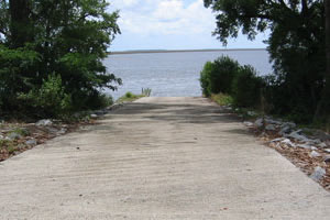 Only easy way to find this ramp is via the GPS address below.
GPS 32° 34'02.77" N 80° 33'25.92" W
( Waters edge at ramp )
GPS 32.56742 -80.55717
( Waters edge at ramp )
NOAA Fields Point, Combahee River, SC 8667259
|
|
|
The Fields Point area offers; single launching lane along the Combahee River.
No restrooms at this location.
This ramp is pretty much in the middle of nowhere!
Live Oak Boat Ramp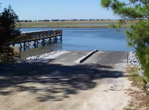 Closest intersection is;
Palmetto Road & Fishing Creek Drive
Edisto Island, SC 29938
From the above intersection head down Palmetto Road to where the road splits ( 3/10ths of a mile ) and go to the left on Oyster Row Lane. Ramp is 7/10ths of a mile down.
Honor box system here. $5 last time I checked.
GPS 32° 30'08.36" N 80° 19'24.68" W
( Waters edge at ramp )
NOAA Edisto Marina, Big Bay Creek, SC 8667676
|
|
|
The Live Oak boat ramp along Big Bay Creek on Edisto Island offers; 2 launching lanes, courtesy dock and a very decent amount of parking.
Old Chehaw Boat Ramp
Closest relaible intersection is:
Wiggins Road & Hwy 17
Green Pond, SC 29446
From the above intersection go 6.75 miles on Wiggins and the entrance to ramp will be on the left.
GPS 32° 38'03.32" N 80° 35'15.35" W
( Waters edge at ramp )
The Old Chehaw boat ramp offers; single launching lane and courtesy dock. Please share area with fishermen. No restrooms at this location.
A fishing pier is on site also.
West Bank Boat Ramp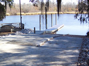 217 West Bank Landing Lane
Jacksonboro, SC 29452
GPS 32° 44'09.29" N 80° 27'06.08" W
( Waters edge at ramp )
NOAA Jacksonboro Camp, South Edisto River, SC 8665737
|
|
|
West Bank boat ramp managed by Colleton County is on the Edisto River and offers 2 launching lanes, courtesy docks, 15 parking spots and a small shelter ( no tables ). No restrooms at this location.
Useful Links
