Georgetown County ~ Murrells Inlet ~ Pawleys Island ~ South Carolina ~ Boat Ramps
- National &
State Parks - County &
City Parks - Beaches
Georgetown - Boat Ramps
Georgetown - Fishing Piers
Georgetown - Map of
Boat Ramps - Boat Ramps
Adjoining Counties
List of Public Boat Ramps in Georgetown County, Murrells Inlet, Pawleys island, South Carolina
Seach our site below
Browns Ferry Boat Ramp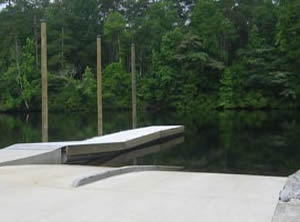 Ferry Landing Road
Georgetown, SC 29440
Ferry Landing Road is about 11.5 miles on Route 51 from the intersection of Route 51 and 701 north of Georgetown.
GPS 33° 32'46.73" N 79° 24'03.82" W
( Waters edge at ramp )
NOAA Winea Plantation, Black River, SC 8661593
|
|
|
Managed by Georgetown County the Browns Ferry boat ramp is along the Black River and offers; 2 launching lanes, 20 boat trailer parking spaces & courtesy docks.
Carol Ashmore Campbell Marine Complex Boat Ramp
Venture Drive & Harrelson Street
Georgetown, SC 29440
GPS 33° 21'25.31" N 79° 17'42.78" W
( Waters edge at ramps )
NOAA Georgetown 8662926
|
|
|
The Carol Ashmore Campbell Marine Complex along the Sampit River offers; 6 launching lanes, courtesy docks, 205 paved boat trailer parking spaces and restrooms.
East Bay Street Boat Ramp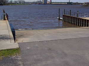 Closest intersection is;
East Bay Street & River Road
Georgetown, SC 29440
Boat ramp is 800 feet further on Easy Bay Street from the above intersection.
GPS 33° 21'23.67" N 79° 16'48.38" W
( Waters edge at ramp )
NOAA Georgetown 8662926
|
|
|
Managed by the Town of Georgetown the East Bay Street boat ramp sits on the Sampit River and offers; 3 launching lanes, 40 boat trailer parking spaces and courtesy docks. Port-o-lets and restrooms associated with the playfields are nearby.
Hagley Landing Boat Ramp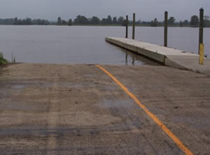 Closest intersection is;
Old Waccamaw Drive & Hagley Drive
Georgetown, SC 29585
Boat ramp is 300 feet west on Hagley Drive from the above intersection, Hagley Drive is also County Road S-2-805.
GPS 33° 26'10.65" N 79° 10'55.81" W
( Waters edge at ramp )
NOAA Hagley, Waccamaw River, SC 8661991
|
|
|
Managed by the South Carolina Dept. of Transportation the Hagley Landing ramp is on the Waccamaw River and offers; 2 launching lanes, limited street side parking and a courtesy dock.
Harris Boat Ramp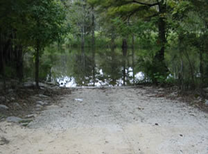 Closest intersection is;
Harris Landing Road & Bland Drive
Georgetown, SC 29440
Ramp is 3/10ths mile down Harris Landing Road from the above intersection, Harris Landing Road is also known as County Road S-22-476.
GPS 33° 14'35.79" N 79° 26'05.73" W
( Waters edge at ramp )
NOAA North Santee Bridge, North Santee River, SC 8662793
|
|
|
Managed by Georgetown County the Harris boat ramp is on the Santee River and offers; 1 launching ramp and 20 boat trailer parking spaces. No other amenities at this location.
Morse Park Landing Primitive Ramp ~ Hand Launch
Swale Ave & US 17
Murrells Inlet, SC 29576
GPS 33° 32'22.04" N 79° 03'03.24" W
( Entrance )
Along Alston Creek. Primitive style ramp area with no courtesy docks. Easy place to launch your kayak to explore the Murrells Inlet areas, watch the tides and currents in this area.
Murrells Inlet Boat Ramp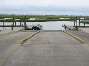 Closest intersection is;
US 17 Business & Belin Drive
Georgetown ~ Murrells Inlet, SC 29576
Entrance to the boat ramp area is 300 feet north on 17 from the above intersection.
GPS 33° 33'18.39" N 79° 02'03.39" W
( Waters edge at ramp )
NOAA Capt. Alex's Marina, Murrells, SC 8661529
|
|
|
Murrells Inlet boat ramp offers; 3 launching lanes, 112 boat trailer parking spaces, courtesy docks, monofilament recycling, trash receptacles & portable toilets. The parking area is across US 17 back a short driveway.
Peters Creek Boat Ramp
Closest intersection is;
Peters Creek Road & Choppee Road
Georgetown, South Carolina 29440
Go 2/10ths of a mile south on Choppee Road, entrance to ramp is on the left.
GPS 33° 30'22.94" N 79° 17'37.24" W
( Waters edge at ramp )
Peters Creek ( short distance to Black River ), 1 launching lane, 15 parking spaces.
No courtesy docks or other amenities at this location.
Pole Yard Boat Ramp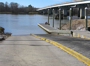 US 17 & Pole Yard Way
Georgetown, SC 29440
GPS 33° 12'34.46" N 79° 22'59.42" W
( Waters edge at ramp )
NOAA North Santee Bridge, North Santee River, SC 8662793
|
|
|
The Pole Yard boat ramp is managed by the South Carolina Dept. of Transportation and is on the Santee River and offers; 2 launching lanes, 23 boat trailer parking spaces, courtesy docks and trash receptacles.
Pringles Ferry Boat Ramp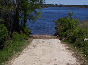 Closest intersection is;
Pringles Ferry Road & Beneventum Road
Georgetown, SC 29440
From the above intersection travel 4/10ths of a mile further down to the ramp.
GPS 33° 26'58.98" N 79° 15'48.85" W
( Waters edge at ramp )
NOAA Windsor Plantation, Black River, SC 8662953
|
|
|
Managed by Georgetown County the Pringles Ferry boat ramp on the Black River offers; 1 launching lane and limited parking spaces.
Pritchard Street Boat Ramp
Closest intersection is:
Scarborough Ave & Pritchard Street
Pawleys Island, South Carolina 29585
Ramp is 1/10th of a mile west on Pritchard Street from the above intersection.
GPS 33° 24'43.02" N 79° 08'07.82" W
( Waters edge at ramp )
NOAA Pawleys Inlet, Wards Dock, SC 8662071
|
|
|
Managed by Georgetown County the Pritchard Street boat ramp on Pawleys Creek offers; 1 launching lane and limited parking.
Rocky Point Boat Ramp
Closest intersection is;
Choppee Road & Rocky Point Drive
Georgetown, SC 29440
Ramp is about 1.2 miles down Rocky Point Drive from the above intersection.
GPS 33° 32'40.64" N 79° 21'17.38" W
( Waters edge at ramp )
NOAA Winea Plantation, Black River, SC 8661593
Managed by International Paper Company the Rocky Point ramp offers; 1 launching lane and 15 boat trailer parking spaces.
Samworth Wildlife Management Area Boat Ramp
Closest intersection is;
County Road S-22-376 & Dirleton Road
Georgetown, SC 29440
From the above intersection travel down Dirleton Road 4/10ths of a mile and boat ramp is off to the left.
GPS 33° 28'28.73" N 79° 11'08.60" W
( Waters edge at ramp )
NOAA
Samworth WMA boat ramp on the Pee Dee River offers; 1 launching lane and limited parking. SCDNR offices are near this location.
Sandy Island Boat Ramp
Closest intersection is;
Sandy Island Road & Kings River Road
Pawleys Island, SC 29585
From the above intersection go 3/4 of a mile on Sandy Island Road also may be called County Road S-22-362.
GPS 33° 30'21.69" N 79° 07'13.17" W
( Waters edge at ramp )
NOAA Hagley, Waccamaw River, SC 8661991
Managed by Georgetown County the Sandy Island boat ramp is on the Waccamaw River and offers; 1 launching lane, courtesy dock and it does have limited parking.
Shell Road Boat Ramp
Closest intersection is;
CR S 22-462 & Shell Road
Pawleys Island, South Carolina 29585
Ramp is 275' down Shell Road from above intersection.
GPS 33° 26'31.74" N 79° 06'55.27" W
( Waters edge at ramp )
NOAA Midway Inlet North, Pawleys Island 8661947
Managed by Georgetown County the Shell Road boat ramp sits on the Main Creek and offers; 1 launching lane and limited parking.
South Island Ferry Boat Ramp
Closest intersection is;
CR S 22-23 & South Island Road
Georgetown, South Carolina 29440
From the above intersection go 5 miles south on South Island Road, to the ramp area
GPS 33° 15'02.79" N 79° 16'09.66" W
( Waters edge at ramp )
NOAA
Tom Crocker ~ Third Street Boat Ramp
Closest intersection is;
CR S 22-455 & 3rd Street
Pawleys Island, South Carolina 29585
From the above intersection go 175 on 3rd Street to ramp.
GPS 33° 26'22.80" N 79° 07'04.16" W
( Waters edge at ramp )
NOAA
Managed by Georgetown County the Tom Crocker ~ Third Street boat ramp sits on Main Creek and offers; 1 launching lane and limited parking.
Wacha Watche Boat Ramp
Closest intersection is;
CR S 22-62 & Labruce Lane
Murrells Inlet, South Carolina 29576
From the above intersection go 2/10ths of a mile on CR S 22-62 to the ramp area.
GPS 33° 33'43.47" N 79° 05'08.20" W
( Waters edge at ramp )
NOAA
Managed by Georgetown County the Wacha Watche boat ramp is on the Waccamaw River and offers; 3 launching lanes, 112 boat trailer parking spots and courtesy docks.
Useful Links
| Public Boat Ramps in Georgetown County, South Carolina |
| Areas in Georgetown County, South Carolina include; Andrews, Debordieu, Georgetown, Litchfield Beach, Murrells Inlet, North Santee, Pawleys Island, Plantersville, Sandy Island, Yauhannah and Pee Dee. |
| Bodies of brackish and saltwater in Georgetown County, South Carolina include; Allston Creek, Atlantic Ocean, Bass Hole Bay, Big Duck Creek, Black Creek, Bly Creek, Brookgreen Creek, Butler Creek, Carr Creek, Cooter Creek, Crab Haul Creek, Debidue Creek, Duck Creek, Great Pee Dee River, Intercoastal Waterway, Jericho Creek, Jones Creek, Little Bull Creek, Little Carr Creek, Main Creek, Midway Inlet, Minim Creek, No Mans Friend Creek, North Inlet, North Santee River, Oatland Creek, Oaks Creek, Old Man Creek, Oyster Bay, Parsonage Creek, Pawleys Creek, Ports Creek, Sea Creek Bay, Sampit River, Santee River, Sandhole Creek, Schooner Creek, Sign Creek, Sixty Bass Creek, Squirrel Creek, Still Creek, Town Creek, Turkey Creek, Waccamaw, Waverly Creek, Winyah Bay, Wood Creek and Woodland Creek. |
![]() Home
Home
![]() About
About
![]() Sitemap
Sitemap
![]() Credits
Credits
![]() Privacy
Privacy
![]() Advertise
Advertise
![]() Contact
Contact
![]()
