Public Fishing Piers
St Johns County Florida

Alpine Groves
Fishing Pier

sign at alpine groves fishing pier
2060 FL-13
Switzerland, FL 32259

GPS 30°04'51.55" N 81°39'18.58"W
( Foot of Pier )

Go to More Details about
Alpine Groves
Fishing Pier

Faver Dykes State Park
Fishing Pier

sign at faver dykes state park entrance
1000 Faver Dykes Road
St. Augustine, Florida 32086

GPS 29°40'07.17" N 81°15'33.41"W
( Foot of Pier )

Go to More Details about
Faver Dykes State Park
Fishing Pier

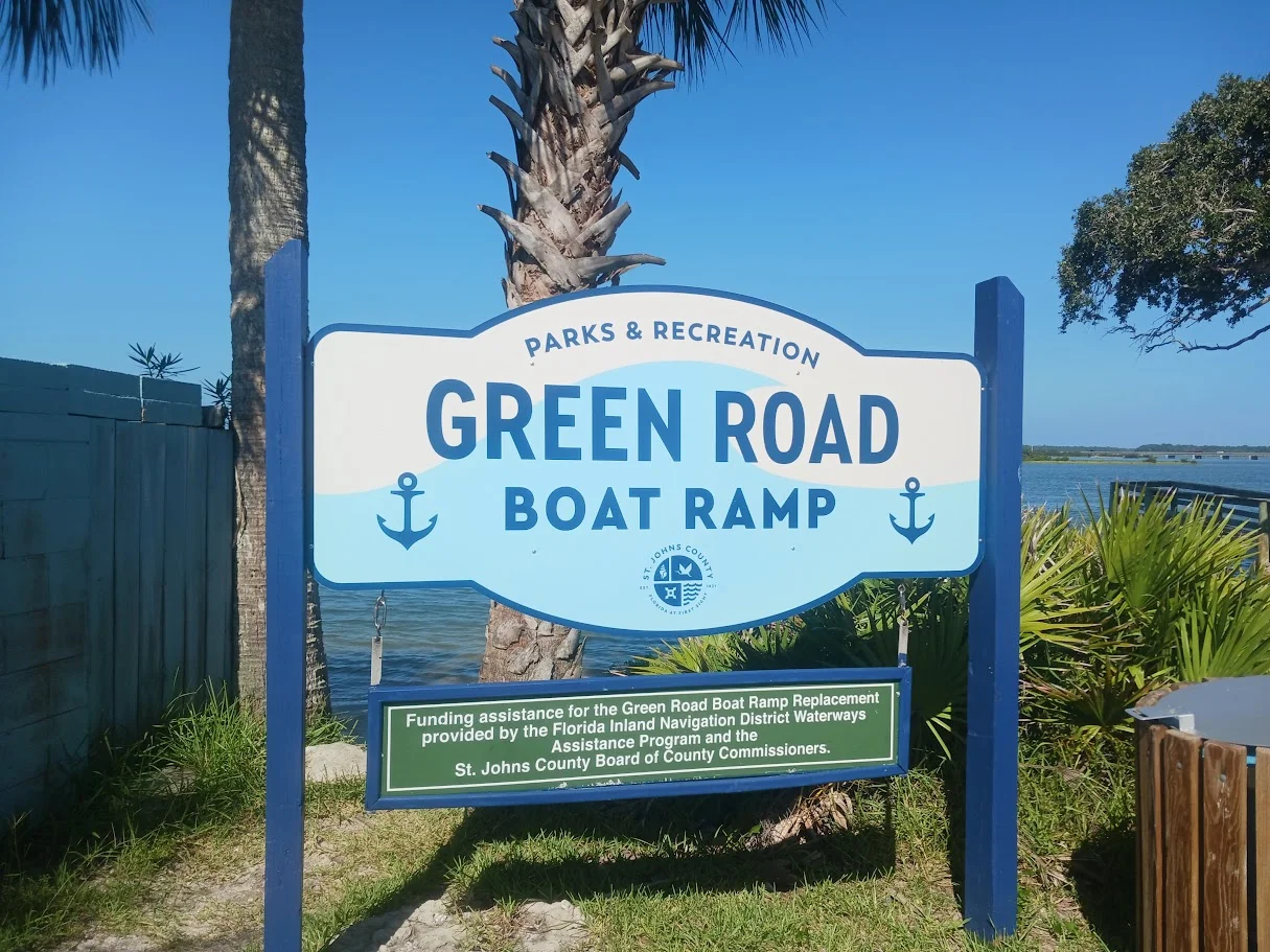
Green Road
Small Fishing Pier

sign at green road fishing pier
199 Green Road
St Augustine, FL 32080

GPS 29°45'44.78" N 81°15'13.71"W
( Foot of Pier )

Go to More Details about
Green Road
Small Fishing Pier

Lighthouse Park
Fishing Pier

sign at lighthouse park fishing pier
442 Ocean Vista Avenue
St Augustine, FL 32080

GPS 29°53'10.45" N 81°17'10.47"W
( Foot of Pier )

Go to More Details about
Lighthouse Park
Fishing Pier

May Street Bridge
Bridge Fishing

may street bridge
900' east on May Street from;
May Street & Magnolia Avenue
St Augustine, FL 32084
Parking on east side of bridge

GPS 29°54'37.88" N 81°18'49.57"W
( Middle of Bridge )

Go to More Details about
May Street Bridge

Matanzas Inlet
Bridge Fishing

matanzas inlet fishing bridge
Closest intersection is;
Barrataria Dr & A1A
Crescent Beach, FL 32080

GPS 29°42'17.12" N 81°13'40.92"W
( Middle of bridge )

Go to More Details about
Matanzas Inlet
Fishing Bridge

Palmetto Road
Fishing Pier

palmetto road fishing pier
Palmetto Road & 5th Street
Butler Beach, FL 32080

GPS 29°47'26.56" N 81°16'09.54"W
( Foot of pier )

Go to More Details about
Palmetto Road
Fishing Pier

Joe Pomar
Fishing Pier

joe pomar park fishing pier
1600 Masters Drive
St. Augustine, FL 32084

GPS 29°54'49.02" N 81°19'51.04"W
( Foot of pier )

Go to More Details about
Joe Pomar Park
Fishing Pier

Riverfront Park
Fishing Pier

sign at riverfront park fishing pier
4065 State Rd 13 N
St Johns, FL 32259

GPS 30°01'15.84" N 81°38'27.04"W
( Entrance )

Go to More Details about
Riverfront Park
Fishing Pier

Rose of Sharon
Fishing Pier

rose of sharon fishing pier near bridge of lions
Located on the northwest side of the
Bridge of Lions
St Augustine, Fl 32084

GPS 29°53'35.71" N 81°18'37.57"W
( Foot of Pier )

Go to More Details about
Rose of Sharon
Fishing Pier

Shands
Fishing Pier

shands fishing pier fishing pier st johns county
10000 Shands Pier Road
St Johns, FL 32259

GPS 30°00'23.27" N 81°36'52.22"W
( Foot of Pier )

Go to More Details about
Shands
Fishing Pier

St Johns County
Ocean Fishing Pier

sign at st johns county ocean fishing pier
350 A1A Beach Boulevard
St Augustine, FL 32080

GPS 29°51'25.58" N 81°15'57.09"W
( Foot of Pier )

Go to More Details about
St Johns County
Ocean Fishing Pier

Usina
Fishing Pier

usina fishing pier
611 Euclid Avenue
St Augustine, FL 32084

GPS 29°56'57.84" N 81°18'36.08"W
( Foot of Pier )

Go to More Details about
Usina
Fishing Pier

Vaill Point
Fishing Pier

sign at vaill point park fishing pier
630 Vaill Point Road
St. Augustine, FL 32084

GPS 29°49'44.61" N 81°18'32.82"W
( Foot of pier )

Go to More Details about
Vaill Point
Fishing Pier

Vilano
Fishing Pier

vilano fishing pier
260 Vilano Road
St Augustine, FL 32084

GPS 29°55'00.11" N 81°17'52.61"W
( Foot of Pier )

Go to More Details about
Vilano
Fishing Pier

Under 206 Bridge
Fishing Pier

under 206 bridge fishing pier
Closest intersection is;
Middleton Avenue & Coastal Drive
Crescent Beach, FL 32080
From the above intersection go 700 feet down Coastal Drive to the area.

GPS 29°46'08.82" N 81°15'26.27"W
( Foot of pier )

Go to More Details about
Under 206 Bridge
Fishing Pier

St Johns County has a plentiful assortment of fishing piers for the public's use. From the Ocean pier in St Augustine Beach to both small and large piers on the inshore waters. Sheepshead, Red Drum, Tarpon.

red drum fishh image

red drum fishh image

red drum fishh image

Florida Fishing
Regulations
Tides St Johns River
and Tributaries
Tide Chart for NE Florida Coast
and Coastal Rivers
Fish Species of
the Atlantic
Safe Handling
of Seafood
Videos of
St Johns County Fishing Piers
Knot
Videos
St Augustine and Vilano Area
Fishing Charters
Calendar for
St. Augustine Area Fishing
Map Showing All Florida
Fishing Piers Listed on Saltchef.com

Areas in St Johns County Florida Include; St Augustine, Ponte Vedra, Vilano Beach, St Augustine Beach, Nocatee, World Golf Village, Butler Beach, Palm Valley, Crescent Beach, Switzerland and Fruit Cove.
 
Bodies of Salt and Brackish Water in St Johns County Florida Include; Atlantic Ocean, Cabbage Creek, Capo Creek, Casa Cola Creek, Cunningham Creek, Cut Creek, Deep Creek, Durbin Creek, East Creek, Guana River, Hospital Creek, Intracoastal Waterway, Julington Creek, Matanzas Inlet, Matanzas River, Marshall Creek, Moultrie Creek, Pancho Creek, Pellicer Creek, Red House Branch, Robinson Creek, Salt Run, San Sebastian River, Six Mile Creek, Smith Creek, Sombrero Creek, St Augustine Inlet, St Johns River, Stokes Creek, Tolomato River, Ximanies Creek.

Copyright © 2025 · All Rights Reserved · Saltchef.com