Public Boat Ramps
St Johns County Florida

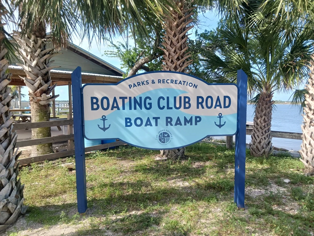
Boating Club Road
Boat Ramp

sign at boating club road boat ramp
Boating Club Road & Laurel Street
Vilano Beach, FL 32084

GPS 29°56'34.59" N 81°18'30.99"W
( Waters edge at ramp )

Go to More Details about
Boating Club Road Boat Ramp

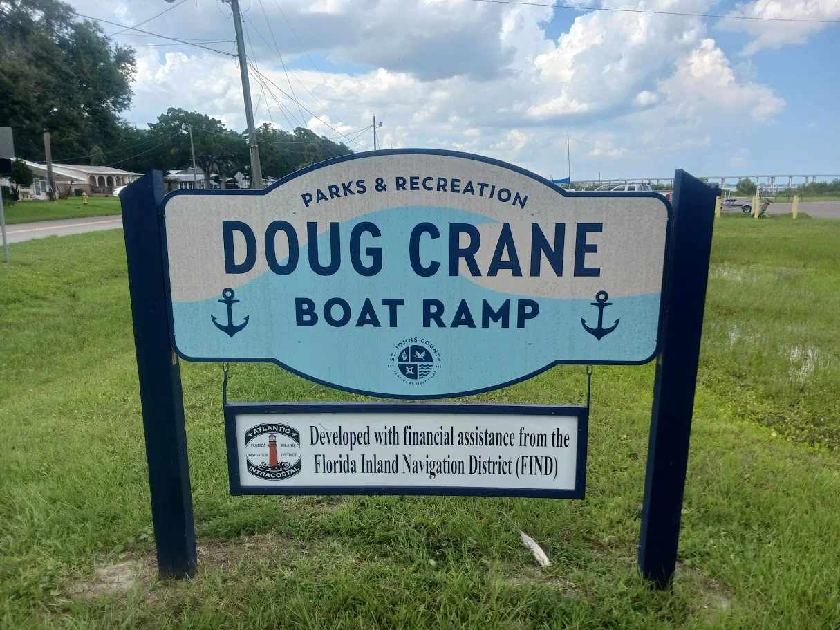
Douglas Crane
Boat Ramp

sign at douglas crane boat ramp
1039 Shore Drive
St Augustine, FL 32086

GPS 29°51'18.48" N 81°18'43.77"W
( Waters edge at ramp )

Go to More Details about
Douglas Crane Boat Ramp

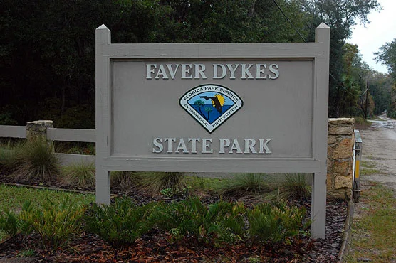
Faver Dykes Boat Ramp - Small Boats

faver dykes state park sign
1000 Faver Dykes Road
St. Augustine, Florida 32086

GPS 29°40'01.73" N 81°15'26.24"W
( Waters edge at ramp )

Go to More Details about
Faver Dykes Boat Ramp - Small Boats

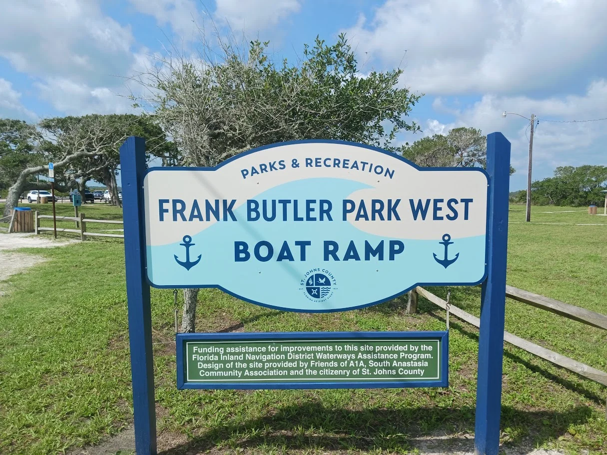
Frank Butler Park West
Boat Ramp

sign at frank butler park west boat ramp
399 Riverside Boulevard
St Augustine, Fl 32080

GPS 29°47'15.23" N 81°16'03.91"W
( Waters edge at ramp )

Go to More Details about
Frank Butler Park West Boat Ramp

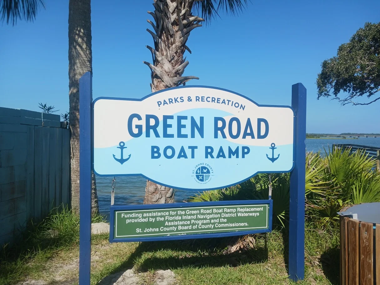
Green Road
Boat Ramp

sign at green road boat ramp
199 Green Road
Sty Augustine, FL 32080

GPS 29°45'44.78" N 81°15'13.71"W
( Waters edge at ramp )

Go to More Details about
Green Road Boat Ramp

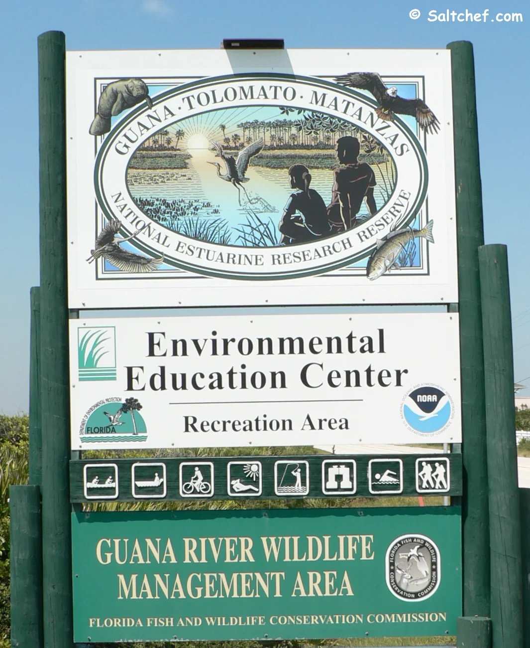
Guana Tolomato River Side Boat Ramp

sign at guana tolomato entrance
505 Guana River Road
Ponte Vedra Beach, FL 32082

GPS30°01'21.73" N 81°19'40.19"W
( Waters edge at ramp )

Go to More Details about
Guana Tolomato River Side Boat Ramp

Lighthouse Park
Boat Ramp

sign at lighthouse park west boat ramp
442 Ocean Vista Avenue
St Augustine, FL 32080

GPS 29°53'08.84" N 81°17'08.53"W
( Waters edge at ramp )

Go to More Details about
Lighthouse Park Boat Ramp

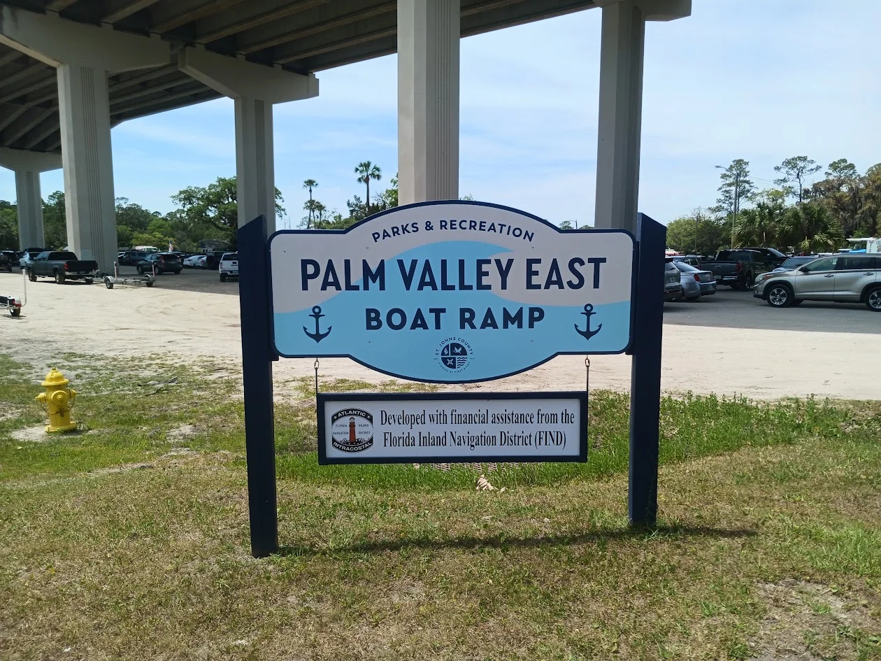
Palm Valley East
Boat Ramp

sign at palm valley east boat ramp
383 South Roscoe Boulevard
Ponte Vedra Beach, FL 32082

GPS 30°07'57.88" N 81°23'06.20"W
( Waters edge at ramp )

Go to More Details about
Palm Valley East Boat Ramp

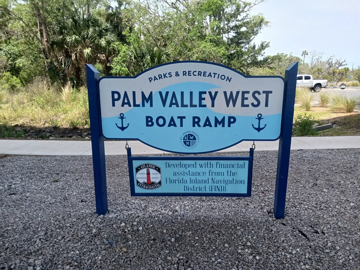
Palm Valley West
Boat Ramp

sign at palm valley west boat ramp
230 Lori Lane
Ponte Vedra Beach, FL 32081

GPS 30°07'56.76" N 81°23'10.77"W
( Waters edge at ramp )

Go to More Details about
Palm Valley West Boat Ramp

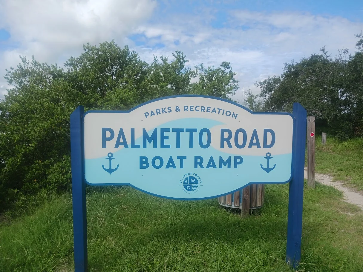
Palmetto Road
Boat Ramp

sign at palmetto road boat ramp
395 Palmetto Road
Butler Beach, FL 32080

GPS 30°07'56.76" N 81°23'10.77"W
( Waters edge at ramp )

Go to More Details about
Palmetto Road Boat Ramp

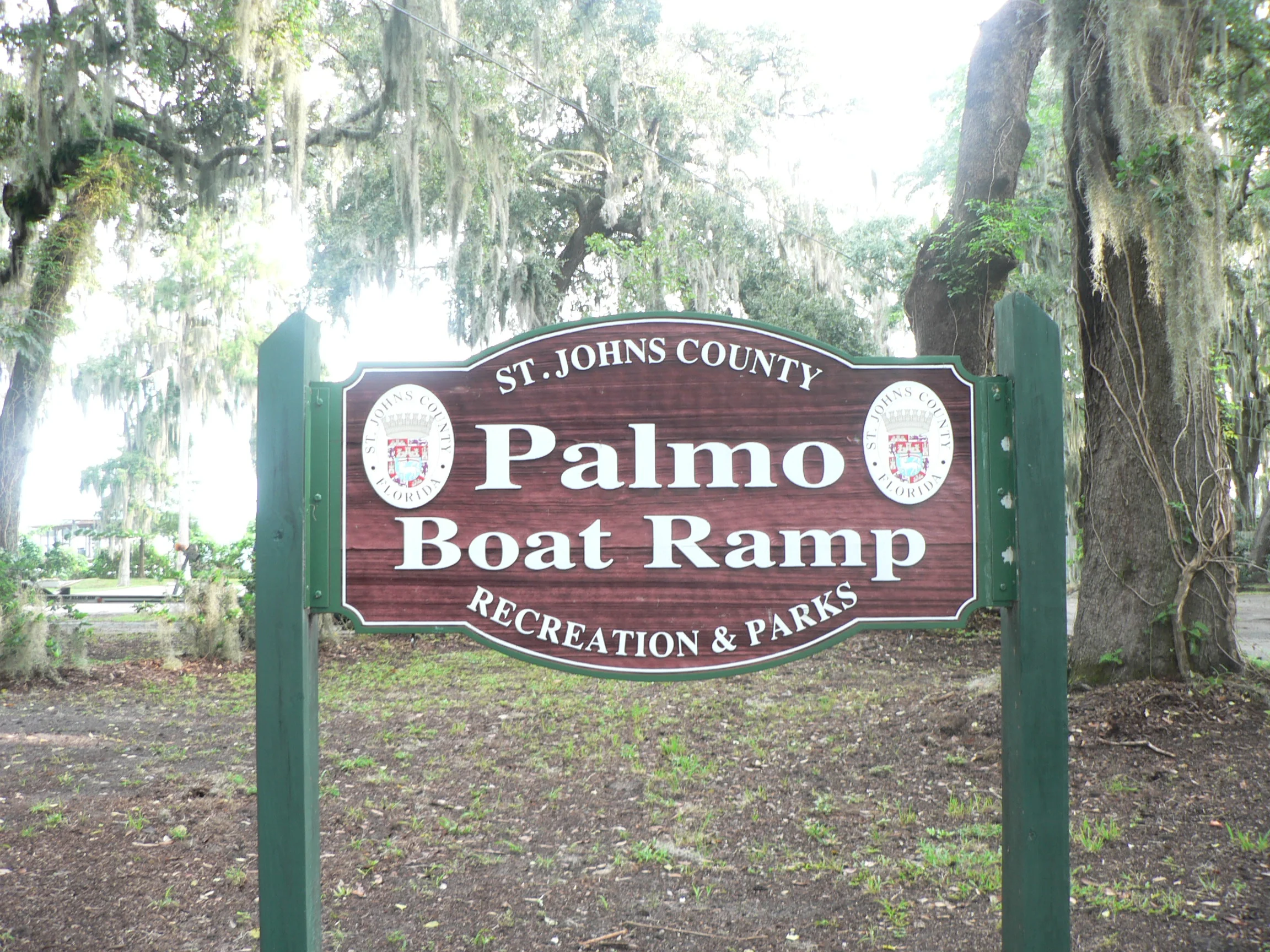
Palmo
Boat Ramp

sign at palmo boat ramp
8698 Palmo Fish Camp Road
St. Augustine, FL 32092

GPS 29°58'01.73" N 81°34'02.24"W
( Waters edge at ramp )

Go to More Details about
Palmo Boat Ramp

Riverdale Park
Boat Ramp

sign at riverdale boat ramp
981 CR. 13 South
St. Augustine, FL 32092

GPS 29°49'24.89" N 81°33'11.47"W
( Waters edge at ramp )

Go to More Details about
Riverdale Park Boat Ramp

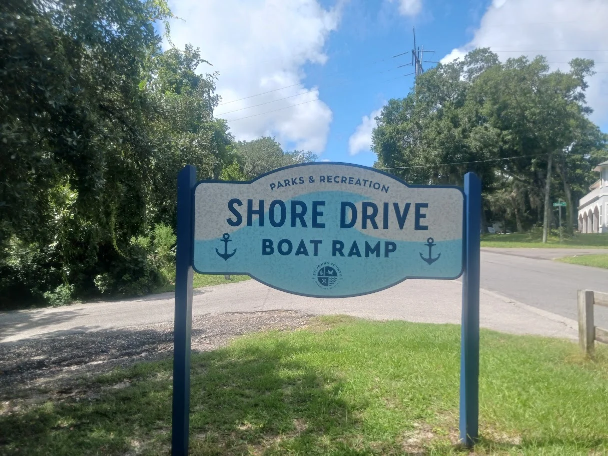
Shore Drive
Boat Ramp

sign at shore drive boat ramp
4805 Shore Drive
St. Augustine, FL 32086

GPS 29°49'43.59" N 81°18'49.66"W
( Waters edge at ramp )

Go to More Details about
Shore Drive Boat Ramp

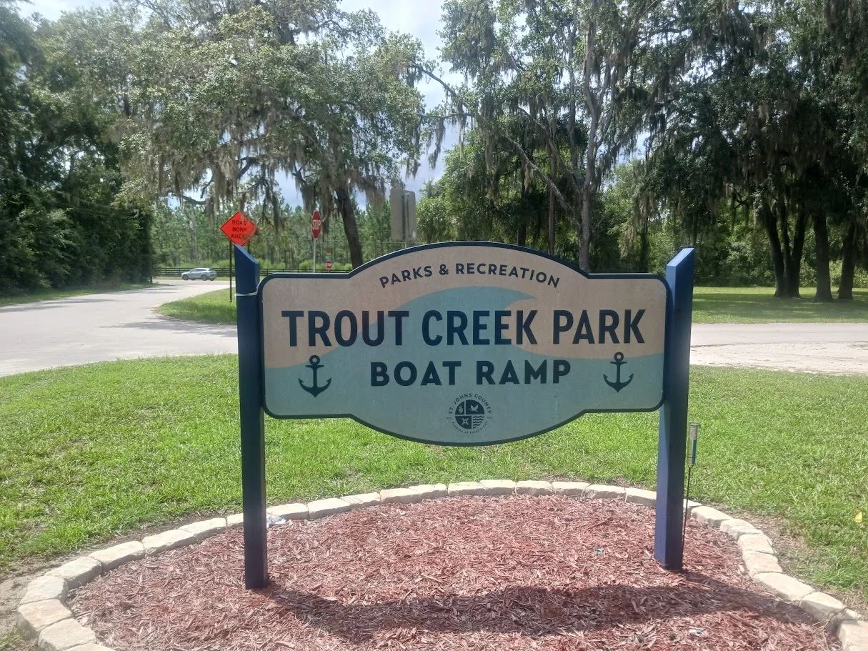
Trout Creek Park
Boat Ramp

sign at trout creek park boat ramp
6795 Collier Road
Orangedale, FL 32092

GPS 29°59'04.17" N 81°33'48.68"W
( Waters edge at ramp )

Go to More Details about
Trout Creek Park Boat Ramp

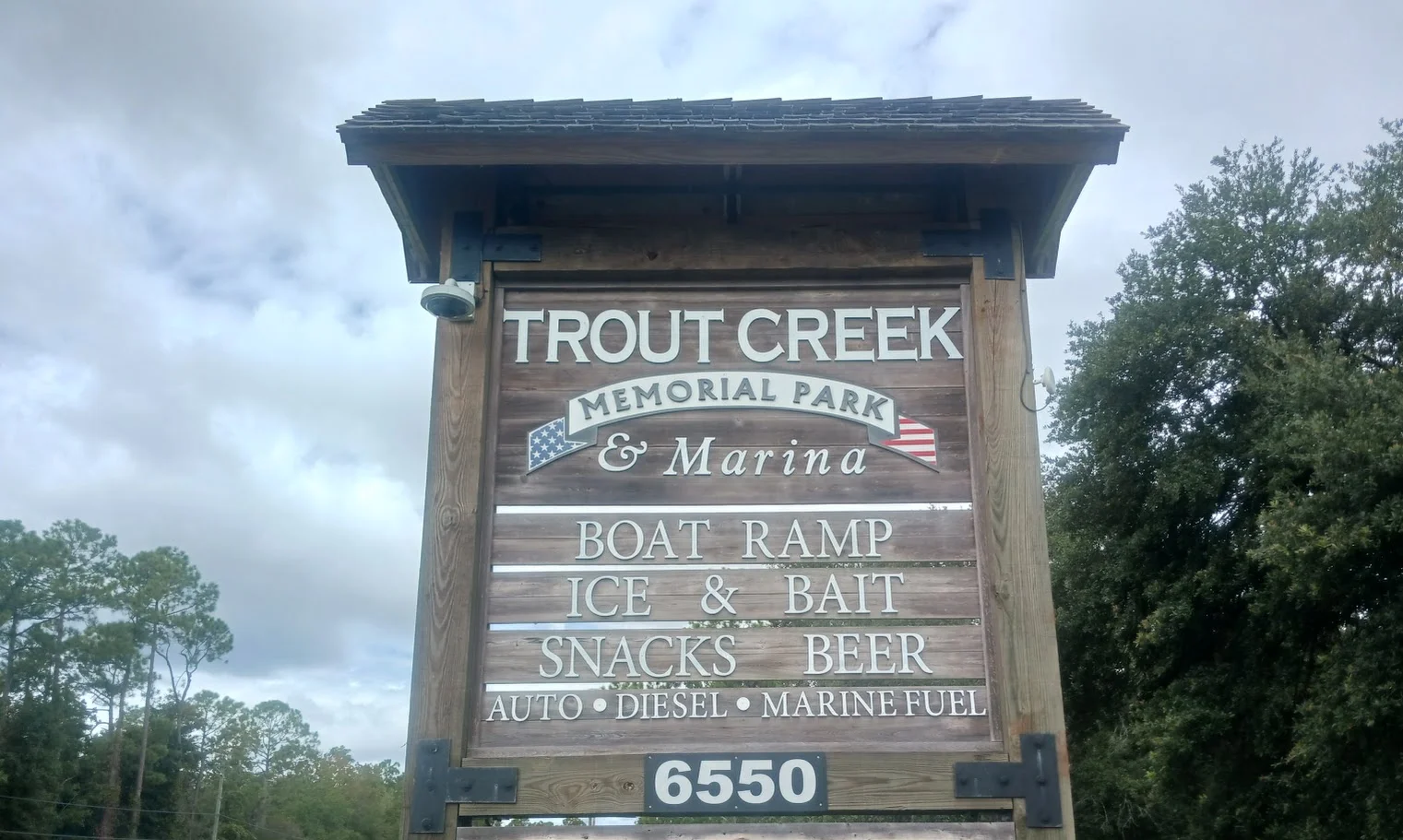
Trout Creek Memorial Park and Marina Boat Ramp

sign at trout creek marina boat ramp
981 CR. 13 South
St. Augustine, FL 32092

GPS 29°59'07.27" N 81°33'58.35"W
( Waters edge at ramp )

Go to More Details about
Trout Creek Marina Boat Ramp

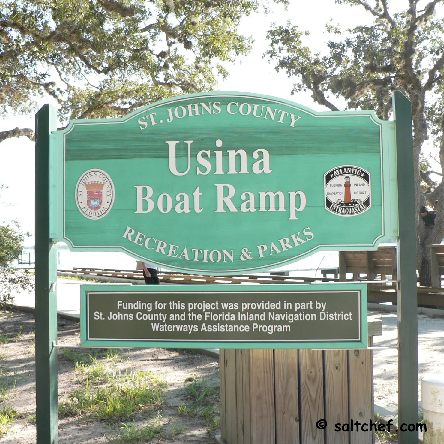
Usina Boat Ramp

sign at usina boat ramp
611 Euclid Avenue
St Augustine, FL 32084

GPS 29°56'56.42" N 81°18'36.07"W
( Waters edge at ramp )

Go to More Details about
Usina Boat Ramp

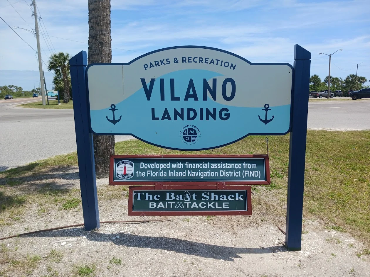
Vilano Landing Boat Ramp

sign at vilano landing boat ramp
101 Vilano Causeway
St Augustine, Fl 32084

GPS 29°54'42.40" N 81°18'30.62"W
( Waters edge at ramp )

Go to More Details about
Vilano Landing Boat Ramp

Florida Fishing
Regulations
Tides St Johns River
and Tributaries
Tide Chart for NE Florida Coast
and Coastal Rivers
Fish Species of
the Atlantic
Safe Handling
of Seafood
Videos of
St Johns County Boat Ramps
Knot
Videos
St Augustine and Vilano Area
Fishing Charters

Areas in St Johns County Florida Include; St Augustine, Ponte Vedra, Vilano Beach, St Augustine Beach, Nocatee, Orageburg, World Golf Village, Butler Beach, Palm Valley, Crescent Beach, Switzerland and Fruit Cove.
 
Bodies of Salt and Brackish Water in St Johns County Florida Include; Atlantic Ocean, Cabbage Creek, Capo Creek, Casa Cola Creek, Cunningham Creek, Cut Creek, Deep Creek, Durbin Creek, East Creek, Guana River, Hospital Creek, Intracoastal Waterway, Julington Creek, Matanzas Inlet, Matanzas River, Marshall Creek, Moultrie Creek, Pancho Creek, Pellicer Creek, Red House Branch, Robinson Creek, Salt Run, San Sebastian River, Six Mile Creek, Smith Creek, Sombrero Creek, St Augustine Inlet, St Johns River, Stokes Creek, Tolomato River, Ximanies Creek.

Copyright © 2025 · All Rights Reserved · Saltchef.com