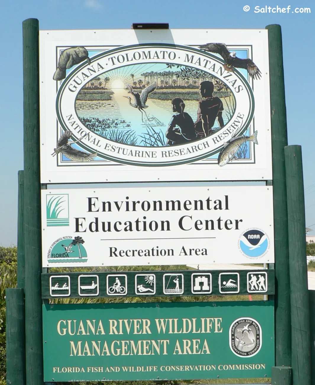
Guana Tolomato
on the
River Side Boat Ramp
505 Guana River Road
Ponte Vedra Beach, FL 32082
904-380-8600
Managed by; Florida Dept of Enviromental Protection
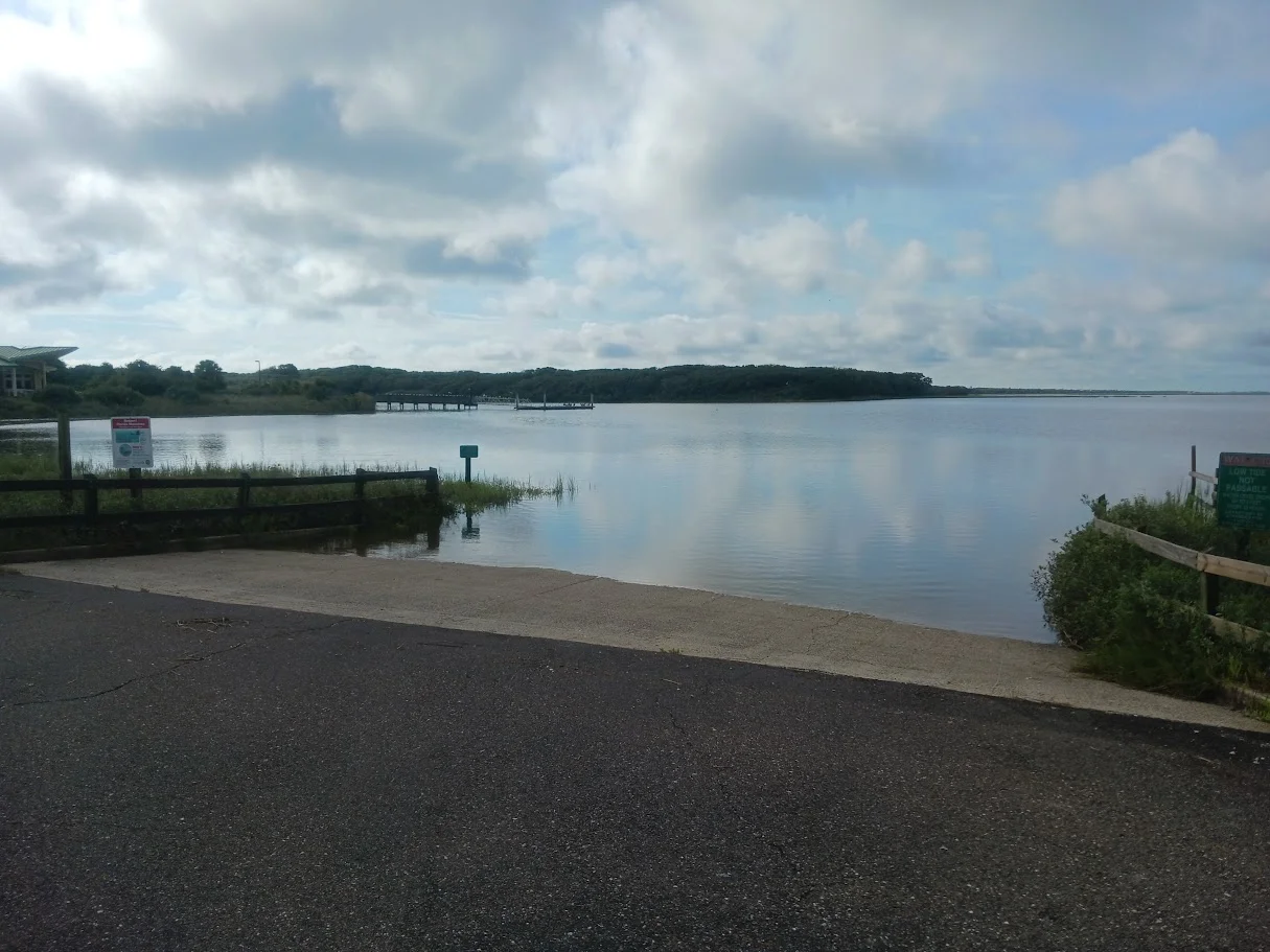
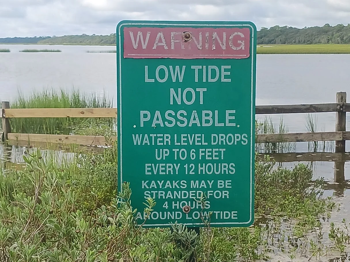
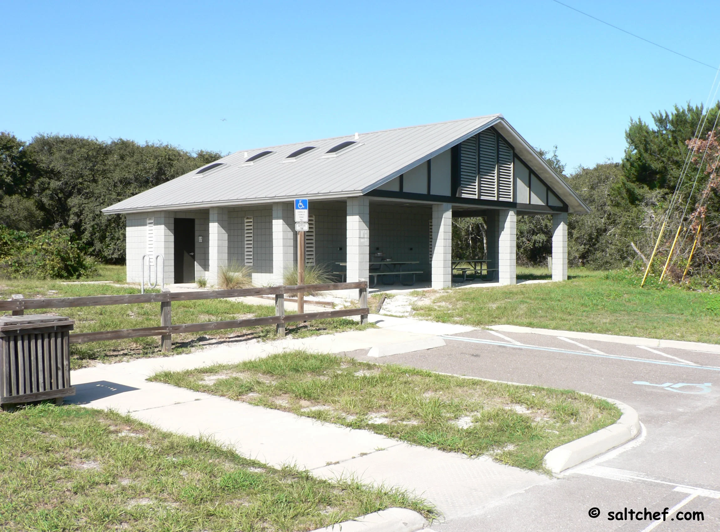
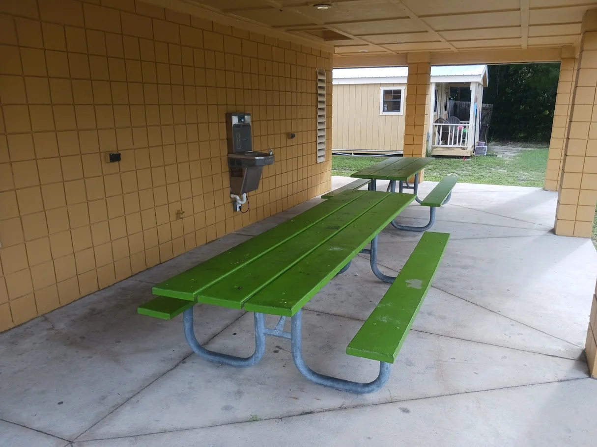
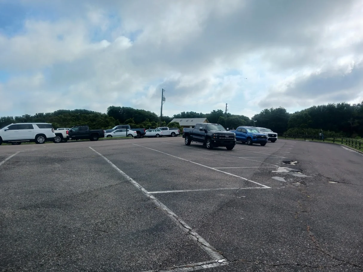
The Guana Tolomato National Reserve boat ramp on the Guana River side of the dam is 35 feet in width. There are no courtesy docks at this location and the ramp is suitable for small boats or canoes / kayak launching. A super nice area to view wildlife. There are a couple of benches facing the water and a couple of picnic tables are under civer near the rstrooms. A drinking fountain is at the restroom area. The visitor center is located just before the pay station building and is free for all. Great place to take the family. A small admission / parking fee does apply to access the dam area and past. This fee is payable via an APP based system, signs are posted with directions. Tides and the ability to navigate the river are a concern at this ramp, Please heed!
GPS
30°01'21.73" N 81°19'40.19"W
( Waters edge at ramp )
RAMP INFORMATION
AT GUANA TOLOMATO RIVER SIDE
🟢 Wider Lane Concrete Ramp
🟢 Entrance Fees
• 🟢 Pay by Plate
• ⛔ Honor Box
Payable at entrance
• ⛔ Decal Only
• ⛔ Unsure
⛔ Floating Courtesy Dock
⛔ Fixed Courtesy Dock
⛔ Fuel- Gas & Diesel
⛔ Overnight Parking
⛔ Lighting
⛔ Washdown Station
⛔ Floating Kayak Launch
⛔ Bait Shop on Site
Florida Fishing
Regulations
Tides St Johns River
and Tributaries
Tide Chart for NE Florida Coast
and Coastal Rivers
Fish Species of
the Atlantic
Safe Handling
of Seafood
Videos of
St Johns County Boat Ramps Knot
Videos
St Augustine and Vilano Area
Fishing Charters
Copyright © 2025 · All Rights Reserved · Saltchef.com
