New Hanover County, North Carolina ~ Boat Ramps
- National &
State Parks - County &
City Parks - Beaches
New Hanover - Boat Ramps
New Hanover - Fishing Piers
New Hanover - Map of
Boat Ramps - Boat Ramps
Adjoining Counties
Public Boat Ramps in New Hanover County, North Carolina
Seach our site below
Carolina Beach State Park Boat Ramp
B Road
Carolina Beach, NC 28428
910-458-8206
GPS 34° 02'59.05" N 77° 55'08.71" W
( Waters edge at ramp )
NOAA Orton Point, Cape Fear River, NC 8658501
|
|
|
The Carolina Beach State Park Boat Ramp area offers; 2 launching lanes, courtesy docks and 38 + boat trailer parking spaces. Head towards Zeke's Island Reserve or the Bald Head Island Natural Area from this ramp.
Dram Tree Park / Castle Street Boat Ramp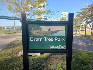 Castle Street & Surrey Street
Wilmington, NC 28401
GPS 34° 13'38.95" N 77° 57'01.12" W
( Waters edge at ramp )
NOAA Wilmington, NC 8658120
|
|
|
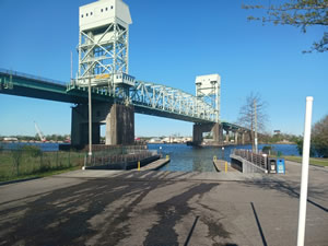
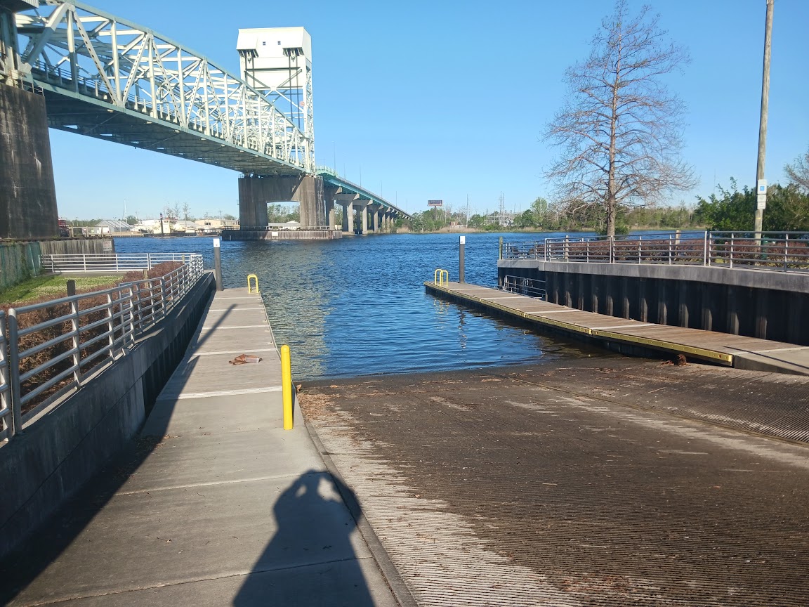
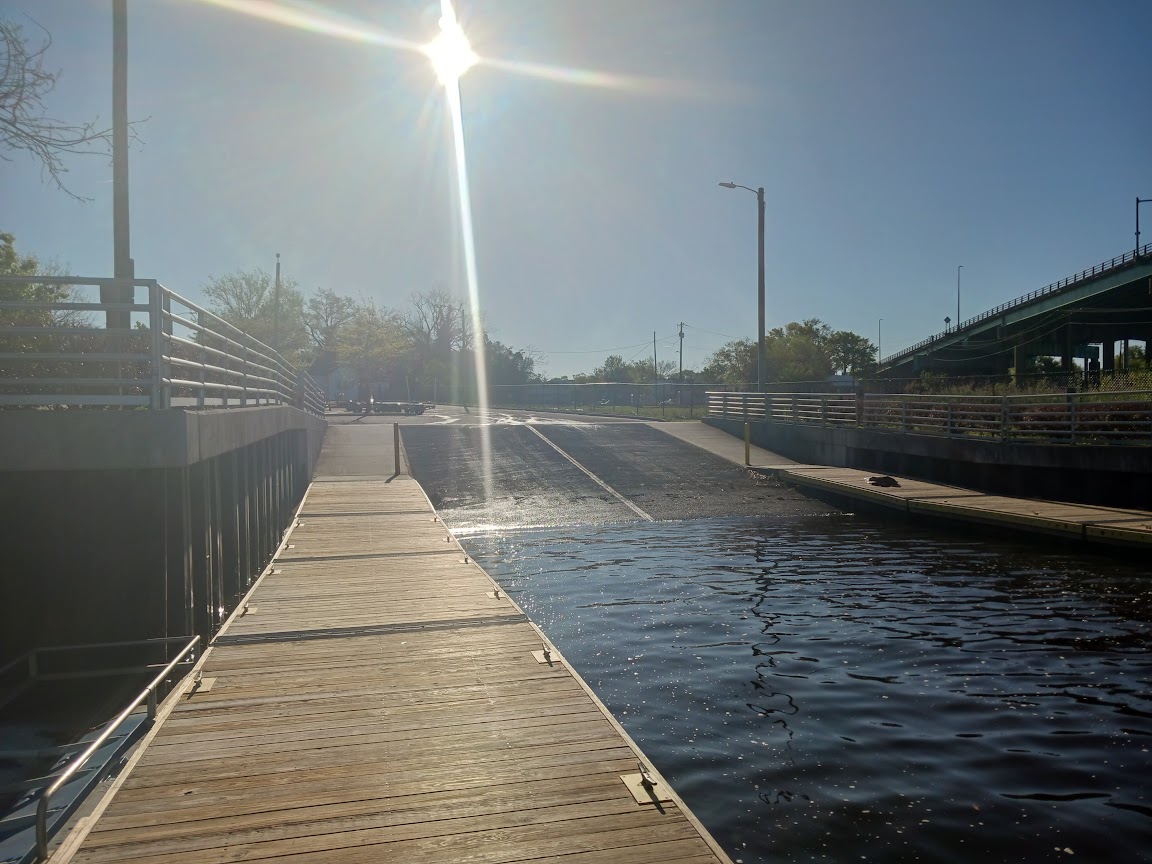
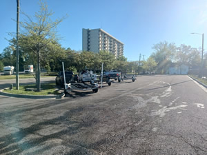
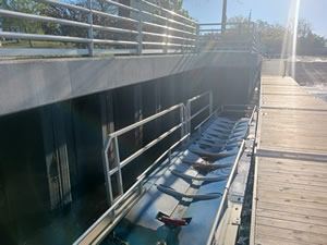
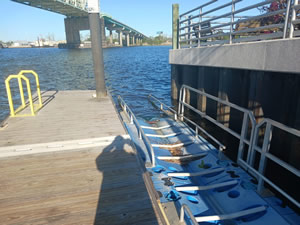
Dram Tree Park is owned and operated by the City of Wilmington NC and offers; 2 launching lanes lanes, floating courtesy docks, 36 boat trailer parking spots and a floating kayak launch next to the ramps courtesy dock.
No restrooms at this location.
Federal Point Boat Ramp ( Brunswick County )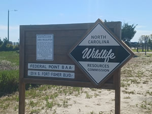 Access by land is only through New Hanover County
Go to Information on the Brunswick County Page
River Road Park Boat Ramp
Closest intersection is;
River Road & River Road Park
Wilmington, NC 28412
GPS 34° 06'49.57" N 77° 55'32.22" W
( Waters edge at ramp )
|
|
|
The River Road Park offers a single lane ramp into the Cape Fear River, picnic pavilions, playground and restrooms which are up near the entrance. No courtesy docks at this location.
There is a fishing pier on site also.
Snows Cut Boat Ramp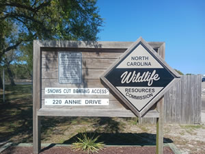 220 Annie Drive
Carolina Beach, NC 28428
GPS 34° 03'25.09" N 77° 53'30.06" W
( Waters edge at ramp )
NOAA Orton Point, Cape Fear River, NC 8658501
|
|
|
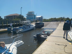
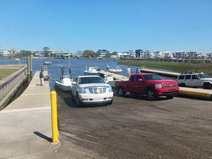
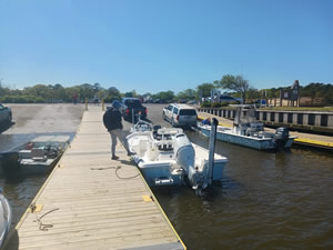
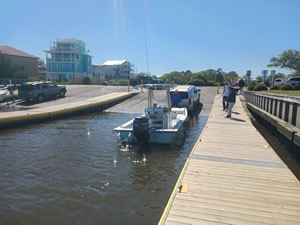
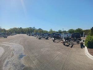
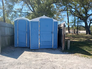
The Snows Cut boat ramp operated by the North Carolina Wildlife Resources Commission offers; 5 launching lanes, floating courtesy docks, 81 trailer spots, 15 vehicles spots, and hand launching of kayaks or canoes. Portable toilets are on site, at the top end of the parking lot.
A fishing pier / deck is on site also.
Trails End Boat Ramp
621 Trails End Road
Wilmington, NC 28409
GPS 34° 09'21.50" N 77° 51'24.97" W
( Waters edge at ramp )
NOAA Orton Point, Cape Fear River, NC 8658501
No stations close by, this station is south in the Cape Fear River.
|
|
|
The Trails End boat ramp is owned and operated by New Hanover County and offers; 1 launching lane, courtesy dock and 40 boat trailer parking spaces. No restrooms at this location.
There is a fishing pier on site also.
Wrightsville Beach Boat Ramp
Closest intersection is;
US 74 & Channel Walk Drive
Wrightsville Beach, NC 28480
The boat ramp is on the northeast side of the ICW drawbridge on US 74.
GPS 34° 13'06.41" N 77° 48'40.80" W
( Waters edge at ramp )
NOAA Ocean reading Wrightsville Beach, NC - Station ID: 8658163
|
|
|
Wrightsville Beach Boat Ramp along the ICW offers; 5 launching lanes, courtesy docks and 68 boat trailer parking spaces. No restrooms at this location.
Approximately 3 miles on the water to the Masonboro Inlet to the south.
Approximately 9 miles on the water to the Green Channel to the north.
( especially cautious of sand bars )
Useful Links
| North Carolina Saltwater Fishing Regulations | Safe Handling of Self Caught Seafood |
| Videos of Fishing Knots | Fish of the Atlantic |
| Seafood Recipes |
| Public Boat Ramps in New Hanover County, North Carolina |
| Areas in New Hanover County, North Carolina Include; Bayshore, Carolina Beach, Castle Hayne, Hightsville, Kings Grant, Kirkland, Kure Beach, Masonboro, Murraysville, Monkey Junction, Myrtle Grove, Ogden, Pine Grove, Sea Breeze, Seagate, Silver Lake, Skippers Corner, Wilmington, Wilmington Beach, Wrightsville Beach and Wrightsboro. |
| Bodies of Brackish and Saltwater in New Hanover County, North Carolina Include; Atlantic Ocean, Banks Channel, Barnards Creek, Bradley Creek, Cape Fear River, Carolina Beach Inlet, Everett Creek, Futch Creek, Green Channel, Hewletts Creek, Howe Creek, Intercoastal Waterway, Lees Cut, Mason Inlet, Masonboro Channel, Masonboro Sound, Middle Sound, Moore Inlet, Motts Channel, Mott Creek, Myrtle Groves Sound, Ness Creek, Northeast Cape Fear River, Pages Creek, Shinn Creek, Smith Creek and Whiskey Creek. |
![]() Home
Home
![]() About
About
![]() Sitemap
Sitemap
![]() Credits
Credits
![]() Privacy
Privacy
![]() Advertise
Advertise
![]() Contact
Contact
![]()
