Chatham County, Savannah Georgia ~ Public Boat Ramps
- National &
State Parks - County &
City Parks - Beaches
Chatham - Boat Ramps
Chatham - Fishing Piers
Chatham - Map of
Boat Ramps - Boat Ramps in
Adjoining Counties
Public Boat Ramps Chatham County Georgia ~ Savannah
Seach our site below
Bells Landing Boat Ramp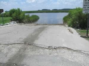 Closest intersection is;
Apache Avenue & Roger Warlick Drive
Savannah, GA 31419
Ramp is 3/10ths of a mile south on Apache Ave.
from the above intersection.
GPS 31° 58' 23.30" N 81° 10' 18.91" W
( Waters edge at ramp )
NOAA Coffee Bluff, Forest River TEC3417
|
|
|
Located along Hoover Creek the Bell's Landing facility offers a single lane ramp, parking for about 12-15 trailers, courtesy dock and trash receptacles. No restrooms at this location.
A fishing pier on site also.
Video of the Bell's Landing Boat Ramp
F.W. Spencer Park Boat Ramp
 Closest intersection is;
Islands Expressway & Causton Harbour Drive
Savannah, GA 31415
Park is 6/10ths of a mile east on Islands Expressway from the above intersection, on the left.
GPS 32° 03' 35.67" N 81° 01' 21.77" W
( Waters edge at ramp )
NOAA North entrance TEC3409
|
|
|
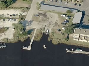
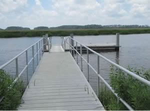
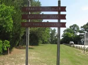
The F.W. Spencer facility is located along an alcove off the Wilmington River and gives fairly easy access to the Bull River, South Channel and the Savannah River. The facility offers; 2 single lane ramps and parking for 15-20 boat trailers. No courtesy docks or restrooms at this facility. Hand launch your kayak here and explore the Oatland Island area.
A fishing pier is on site also.
Video of the Frank Spencer Boat Ramp
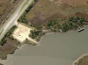
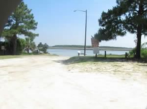
Houlihan Boat Ramp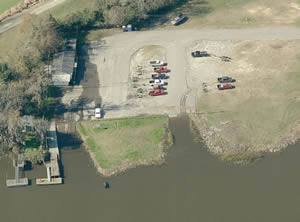 Closest intersection is;
North Coastal Hwy & Bonnybridge Road
Port Wentworth, GA 31407
8/10ths of a mile north on Coastal Hwy ( 25 ) from above intersection, ramp will be on right.
GPS 32° 09' 52.48" N 81° 09' 24.09" W
( Waters edge at ramp )
NOAA Port Wentworth, GA 8670424
|
|
|
Owned and operated by the City of Port Wentworth the Houlihan ramp along the Savannah River offers; 2 launching lanes, courtesy docks and about 50 desiganted boat trailer parking spots.
Kings Ferry Community Park Boat Ramp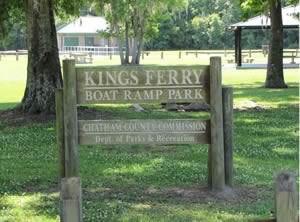 Ogeechee Road & Chief of Love Road
Savannah, Georgia, 31419
GPS 31° 58' 42.68" N 81° 17' 16.86" W
( Waters edge at ramp )
NOAA Highway bridge, Ogeechee River TEC3421
|
|
|
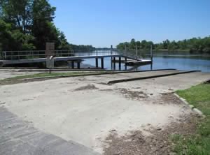
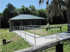
Kings Ferry Community Park boat ramp along the Ogeechee River offers; 4 launching lanes, 25 paved boat trailer parking spaces, restrooms, pavilions available for rent, playground and is handicap accessible.
A fishing pier on site also.
Video of the Kings Ferry Community Park Boat Ramp
Lazaretto Creek Boat Ramp
 Closest intersection is;
Hwy 80 & Johnny Mercer Boulevard
Savannah, GA 31415
About 5 miles east on Hwy 80 from the above intersection.
GPS 32° 00' 57.19" N 80° 53' 27.52" W
( Waters edge at ramp )
NOAA Tybee Light, GA 8670892
|
|
|
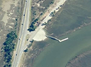
The Lazaretto Creek ramp offers; 3 launching lanes, courtesy docks, parking for 30+ boat trailers along the road, trash receptacles and easy access to the open Atlantic just to the north of Tybee Island. Hand launch your kayak here for some special paddles through the creeks in the area. No restrooms at this facility. Lazaretto Park fishing pier area down Johnny Mercer Boulevard has portable toilets.
A fishing pier is 2100' further down the access road.
Video of the Lazaretto Creek Boat Ramp
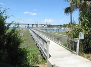
Rodney Hall Boat Ramp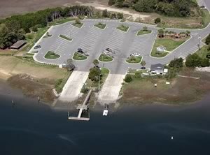 25 Diamond Causeway
Savannah, GA 31406
GPS 31° 56' 48.76" N 81° 04' 01.55" W
( Waters edge at ramp )
NOAA Vernon View, Burnside River, GA 8671642
|
|
|
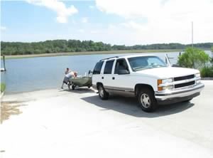
Located along the Skidaway River the Rodney Hall facility offers; 2 double lane ramps, courtesy docks, 47 paved boat trailer parking spaces and restrooms.
Video of the Rodney Hall Boat Ramp
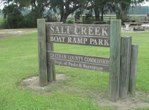
Salt Creek Boat Ramp ~ Small Boats
 Closest intersection is;
Salt Creek Road & Silk Hope Road
Garden City, GA 31405
2/10ths of a mile west on Silk Hope from the above intersection.
GPS 32° 02'28.54" N 81° 12'13.06" W
( Waters edge at ramp )
NOAA Coffee Bluff, Forest River TEC3417
|
|
|
The Salt Creek facility offers; single lane ramp area, 6 paved & designated boat trailer spaces, playground, picnic pavilions, picnic areas and portable toilets.
A fishing pier on site also.
Video of the Salt Creek Park Boat Ramp
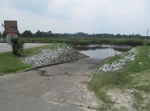
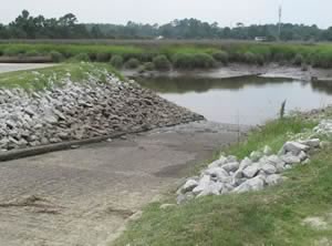
Thunderbolt Boat Ramp
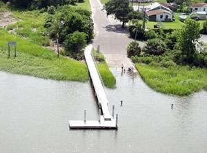 Closest intersection is;
Old Tybee Road & Marye Street
Thunderbolt, GA 31414
GPS 32° 02' 11.54" N 81° 02' 41.32" W
( Waters edge at ramp )
NOAA Thunderbolt TEC3407
|
|
|
The Thunderbolt ramp sits along the Wilmington River and offers; wide single lane ramp, courtesy dock and trash receptacles. Portable toilet at this facility. No fishing from the courtesy dock here.
Video of the Thunderbolt Boat Ramp
Turners Creek Boat Ramp
Johnny Mercer Boulevard & Turners Rock Road
Savannah, GA 31415
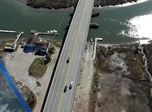
Entrance road is across Johnny Mercer Boulevard from the above intersection. Ramp area is under the bridge.
GPS 32° 01' 11.97" N 80° 59' 33.68" W
( Waters edge at ramp )
NOAA Savannah Sheraton Resort Hotel TEC3405
|
|
|
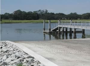
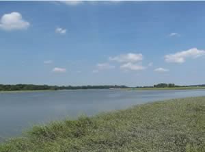
The Turners Creek boat ramp along Lazaretto Creek offers; 3 launching lanes, courtesy docks, 40 paved boat trailer parking spaces and probably an additional 25 under the shade of the bridge.
Video of the Turners Creek Boat Ramp
Useful Links
| Public Boat Ramps in Chatham County Georgia |
| Areas in Chatham County, Georgia include; Bloomingdale, Garden City, Georgetown, Isle of Hope, Montgomery, Pin Point, Pooler, Port Wentworth, Sandfly, Savannah, Skidaway Island, Thunderbolt, Tybee Island, Vernonburg, White Bluff, Whitemarsh and Wilmington Island. |
| Areas in Chatham County, Georgia include; Adams Creek, Atlantic Ocean, Back River, Bear River, Beard Creek, Betz Creek, Big Tom Creek, Blue Bank Creek, Bradley Creek, Bradley River, Buckhead Creek, Bull River, Burnside River, Cabbage Garden Creek, Camp Creek, Cane Patch Creek, Charles Creek, Chimney Creek, Crooked Creek, Cornfield Creek, Curtis Creek, Delegal Creek, Drakies Cut, Florida Passage, Forest River, Front River, Green Island Sound, Grimball Creek, Grove River, Half Moon River, Hardin Canal, Harvey Creek, Harvey Cut, Hell Gate, Herb River, Horse Pen Creek, House Creek, Houston Cut, Hoover Creek, Isle of Hope River, Joes Cut, Lazaretto Creek, Little Back River, Little Tybee Creek, Little Ogeechee River, Little Tom Creek, Middle River, Moon River, Mud River, New Hope Canal, New River, Odingsell River, Ogeechee River, Ossabaw Sound, Oyster Creek, Peachtree Canal, Queen Bess Creek, Red Dock Canal, Rhodes Creek, Rhodes Cut, Richardson Creek, Rockfish Creek, Romerly Marsh Creek, Rush Creek, Salt Creek, Savannah River, Sazarine Creek, Shad River, Skidaway Narrows, South Channel, Southfield Canal, Springfield Canal, Steamboat River, St Augustine Creek, Turner Creek, Vernon River, Walker Canal, Wassaw Creek, Wassaw Sound, Wilmington River and Wright River |
![]() Home
Home
![]() About
About
![]() Sitemap
Sitemap
![]() Credits
Credits
![]() Privacy
Privacy
![]() Advertise
Advertise
![]() Contact
Contact
![]()
