Dixie County, Florida ~ Boat Ramps
- National &
State Parks - County &
City Parks - Beaches
- Boat Ramps
- Fishing Piers
- Map for
this page - Explore
Adjoining Counties
Public Boat Ramps in Dixie County, Steinhatchee, Horseshoe Beach and Jena, Florida
Seach our site below
Demory Creek ~ Anderson Landing Boat Ramp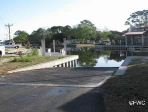 22999 SE Highway 349
or
Southeast CR 349 & Bertha Street
Suwannee, FL 32692
GPS 29° 19'49.58" N 83° 08'35.94" W
( Waters edge at ramp )
Go to map of public boat ramps Dixie County
NOAA Suwannee, FL 8727577
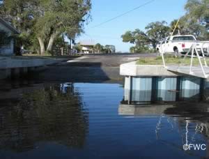
The Demory Creek ~ Anderson Landing boat ramp offers; 2 lane ramp, courtesy docks and parking for about 10 boat trailers.
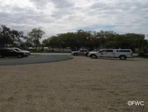
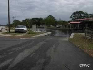
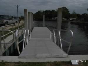
Butler Douglas Memorial Horseshoe Beach Boat Ramp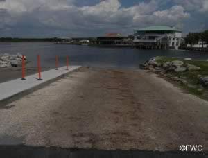 8th Avenue West
Horseshoe Beach, FL 32648
GPS 29° 26'24.22" N 83° 17'33.95" W
( Waters edge at ramp )
Go to map of boat ramps Dixie County
NOAA Horseshoe Point, FL 8727648
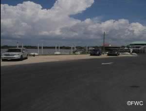
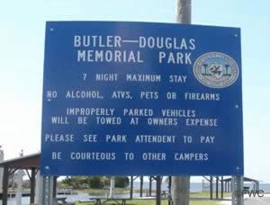
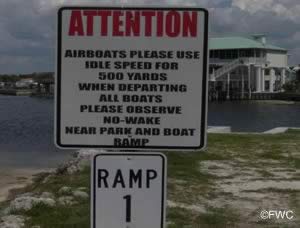
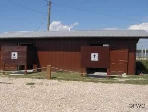
Butler Douglas Memorial Horseshoe Beach boat ramp offers; 2 launching lanes, courtesy dock, 20 boat trailer parking spaces, picnic pavilions and restrooms.
Jena Public Boat Ramp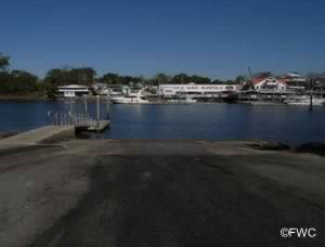 County Route 358
Jena, FL 32359
GPS 29° 40'12.71" N 83° 23'20.77" W
( Waters edge at ramp )
Go to map of boat ramps Dixie County
NOAA Steinhatchee, FL 8727695
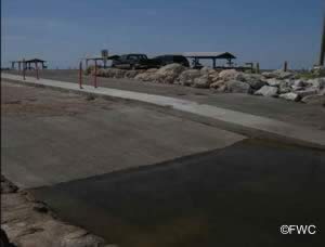
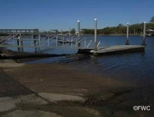
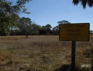
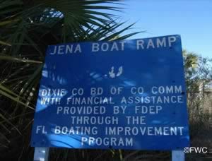
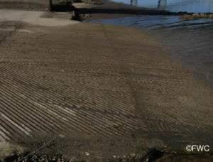
Jena Public boat ramp offers; single lane launching ramp, courtesy dock and parking for about 30 boat trailers along side of road and at courtesy parking area. Please watch no parking signs located closer to the ramp area!
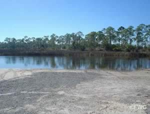
Rocky Creek at Little John Futch Park Boat Ramp
 Closest intersection is;
CR 361 & Rocky Creek Road
Steinhatchee, FL 32648
Approxiametely ¾ mile down Rocky Creek Road from above intersection.
GPS 29° 35'46.45" N 83° 23'24.48" W
( Waters edge at ramp )
Go to map of boat ramps Dixie County
NOAA Steinhatchee, FL 8727695
Sand ramp and parking for about 20 trailers. No other amenities at this location.
Sand Ridge Primitive Ramp
Closest intersection is;
Sand Ridge Road & SW 343 Avenue
Steinhatchee, Florida 32359
From the above intersection go 8/10ths of a mile on Sand Ridge Road to area.
GPS 29° 38'51.09" N 83°23'48.56" W
NOAA Steinhatchee, FL 8727695
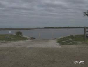
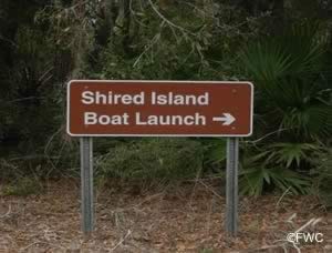
Shired Island Boat Launching Ramp
 Closest major intersection is;
CR 351 & CR 357
Horseshoe Beach, FL 32648
Travel approxiametely 11 miles down CR 357 the paved road to the ramp will be on your right.
This road to the ramp is about ½ mile from the end of CR 357.
GPS 29° 33'03.65" N 83° 10'55.55" W
( GPS of intersection of CR 351 & CR 357 )
GPS 29° 23'55.86" N 83° 12'17.24" W
( Waters edge at ramp )
Go to map of boat ramps Dixie County
NOAA Horseshoe Point, FL 8727648
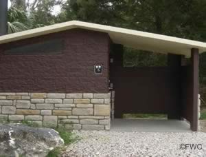
Shired Island boat launching ramp offers; single lane ramp, courtesy dock, restrooms and about 25 boat trailer parking spaces.
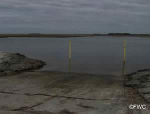
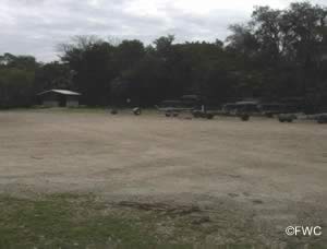
Steinhatchee Public Boat Ramp at Mack Valentine Road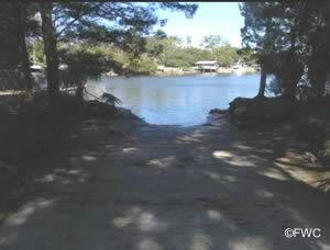 Suitable for hand launching only!
Closest intersection is;
CR 358 & Mack Valentine Road
Steinhatchee, FL 32359
1/10 of a mile down Mack Valentine Road from above intersection.
GPS 29° 39'54.02" N 83° 21'58.74" W
Go to map of boat ramps Dixie County
NOAA Steinhatchee, FL 8727695
Useful Links
| Public Boat Ramps in Dixie County Florida |
| Areas in Dixie County Florida include; Clara, Cross City, Eugene, Hines, Horseshoe Beach, Jonesboro, Old Town, Putnam Lodge, Shired Island, Suwannee and Yellow Jacket. |
| Areas of Salt and Brackish Water Dixie County Florida include; Amason Creek, Boggy Creek, Bumblebee Creek, Butler Creek, Cow Creek, Demory Creek, Fishbone Creek, Flag Creek, Gulf of Mexico, Harris Creek, Howard Creek, Jim Lee Creek, Johnson Creek, Little Rocky Creek, Lock Creek, Monden Creek, North Double Barrel Creek, Pine Log Creek, Porpoise Creek, Rocky Creek, Salt Creek, Sanders Creek, Shingle Creek, Shired Creek, South Double Barrel Creek, Steinhatchee River, Suwannee River, Tripod Creek, Turkey Creek, Wackup Creek, Week Creek and Wisher Creek. |
![]() Home
Home ![]() About
About ![]() Sitemap
Sitemap ![]() Credits
Credits ![]() Privacy
Privacy ![]() Advertise
Advertise ![]() Contact
Contact ![]()
