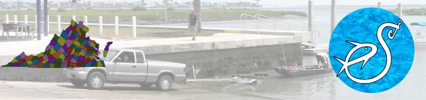
Boat Ramps
in
Newport News, Virginia
Seach our site below
Denbigh Park ~ Hoppes Landing Boat Ramp Closest intersection is;
Moyer Road & Denbigh Boulevard
Newport News, Virginia 23608
From the above intersection go 1/3 mile on Denbigh Boulvevard to ramp area.
GPS 37° 07'25.07" N 76° 34'06.47" W
( Waters edge at ramp )
|
|
|
The Denbigh Park boat ramp offers; single wide launching lane, courtesy docks, about 40 trailer parking spaces and portolets. A fishing pier is on site also.

Huntington Park Boat Ramp Closest intersection is;
Riverpark Road & Beech Drive
Newport News, Virginia 23607
Entrance to ramp area is 120' south on Riverpark from the above intersection.
GPS 37° 01'00.36" N 76° 27'21.37" W
( Waters edge at ramp )
|
|
|
The Huntington Park Boat Ramp along the James River offers; 4 launching lanes, courtesy docks, about 87 trailer parking spaces and restrooms.
Peterson's Yacht Basin Boat Ramp Closest intersection is;
Walnut Avenue & Blair Avenue
Newport News, Virginia 23607
Entrance to ramp area is 135' north on
Walnut Avenue from the above intersection.
GPS 36° 59'01.15" N 76° 23'51.38" W
( Waters edge at ramp )
|
|
|
The Peterson's Yacht Basin Boat Ramp offers; 2 wide launching lanes, courtesy docks, 20 paved trailer parking spaces and portolets.
Useful Links
| Virginia Saltwater Fishing Regulations | Safe Handling of Self Caught Seafood |
| Videos of Fishing Knots | |
| Seafood Recipes | Fish of the Atlantic |
| Boat Ramps along Saltwater in Newport News, Virginia |
![]()
![]()
| Bodies of Brackish & Saltwater in Newport News, Virginia Include; Bailey Creek, Blows Creek, Deep Creek, Fort Creek, Island Creek, James River, Lukas Creek, Morleys Gut, Morrisons Creek, Skiffs Creek and Warwick River. |
![]() Home
Home
![]() About
About
![]() Sitemap
Sitemap
![]() Credits
Credits
![]() Privacy
Privacy
![]() Advertise
Advertise
![]() Contact
Contact
![]()