McIntosh County, Georgia ~ Fishing Piers & Bridges
- National &
State Parks - County &
City Parks - Beaches
McIntosh - Boat Ramps
McIntosh - Fishing Piers
McIntosh - Map of
Fishing Piers - Fishing Piers
Adjoining Counties
Fishing Piers & Bridges in McIntosh County, Georgia ~ Townsend ~ Darien
Seach our site below
Bellville Fishing Pier
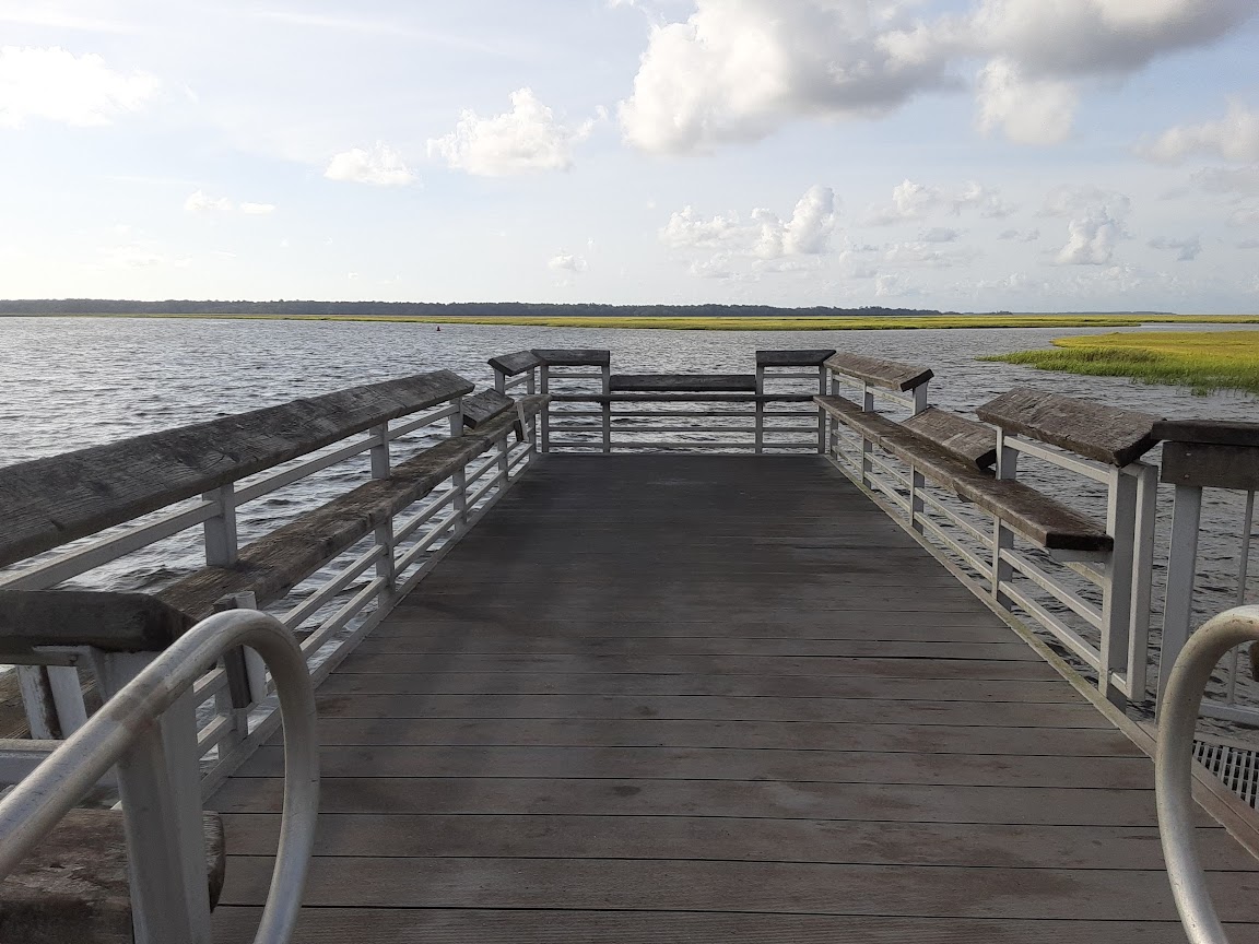 Susan Baker Drive & Live Oak Lane
Townsend, GA 31331
GPS 31° 31'52.32" N 81° 21'32.05" W
( Foot of pier )
NOAA Bellville Point, Sapelo River 8674638
|
|
|
The Bellville fishing pier goes about 50' out from the shoreline of the Sapelo River and has a 30' x 10' platform. From this platform the gangway goes down to the floating courtesy dock for the boat ramp. Please respect boats in the area. Parking is along the roadside. No restrooms at this location.
Black Island Bridge
Closest intersection is;
Black Island Road & McIntosh Road
Darien, GA 31305
From the above intersection go 4/10ths of a mile on Black Island Road to the bridge.
GPS 31° 22'10.56" N 81° 24'43.04" W
( Center of bridge )
NOAA Bellville Point, Sapelo River 8674638
|
|
|
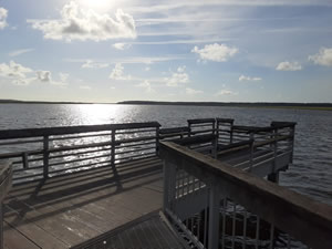
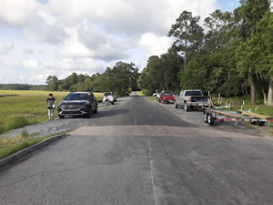
The Black Island bridge is about 100' in length over the waters of the North River. A small parking area on the shoulder of road is on the east / north side of the bridge. Please be cautious of pedestrians and cars when on the bridge. No restrooms or trash cans here.
Blue N' Hall Fishing Pier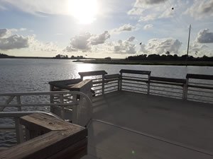 Closest intersection is;
Georgia 99 & Blue N Hall Road
Darien, GA 31305
Pier is 1/2 mile down Blue N Hall Road from the above intersection.
GPS 31° 24'20.48" N 81° 23'32.31" W
( Foot of pier )
NOAA Daymark #185, Rockdedundy River Entrance, GA 8675761
|
|
|
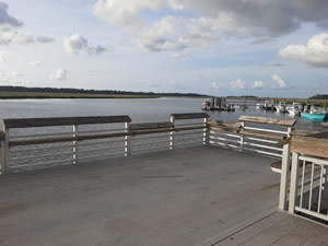
The pier is on a deck that has 2 gangways going to the floating courtesy docks, please be respectful of boats and boaters coming and going. Restrooms are available at the small building in the parking lot.
Butler River Bridge
Closest intersection is;
US 17 & Broad Street
Darien, GA 31305
The entrance to the north side is 7/10ths of a mile south on US 17 / North Walton St from the above intersection. The south entrance is 1.1 miles south from the above intersection. Both are on the right.
GPS 31° 21'27.63" N 81° 26'35.14" W
( Northern side )
GPS 31° 21'17.36" N 81° 26'42.33" W
( Southern side )
NOAA Champney Island, South Altahama River 8676012
|
|
|
The Butler River Bridge area is about 1000 feet in length over the waters of the Butler River.
No amenities at this location.
Champney River Bridge Catwalk
Closest intersection is;
Georgia 25 & Ricefield Way
Brunswick, GA 31525
The entrance to the Champney River Catwalk is 9/10ths of a mile north on GA 25 / GA 95 from the above intersection.
GPS 31° 20'12.01" N 81° 26'57.51" W
( Start of catwalk near parking )
NOAA Champney Island, South Altahama River 8676012
|
|
|
The Champney River Bridge Catwalk is about 770 feet in length over the Champney River. Large parking lot, please park in car only designated spots. Port-o-let is available in the parking lot.
Downtown Darien Fishing Dock
Closest intersection is;
Screven Street & Broad Street
Darien, GA 31305
From the above intersection go south / west on Screven Street go left 90 degrees at bend, parking area will be on the right.
GPS 31° 22'05.15" N 81° 26'10.86" W
( Entrance to dock )
NOAA Champney Island, South Altahama River 8676012
|
|
|
The Downtown Darien fishing dock is about 550 feet in length, running parallel with the shoreline of the Darien River. Please be aware of the boats, boat traffic and others using the docking area.
Harris Neck Creek Fishing Dock - Gullah Community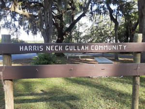 Closest intersection is;
Harris Neck Road & Plantation Drive NE
Townsend, GA 31331
Entrance is 3/10ths of a mile on the left, heading east on Harris Neck Road from the above intersection.
GPS 31° 37'33.72" N 81° 17'22.19" W
( second pier )
GPS 31° 37'31.17" N 81° 17'22.11" W
( first pier )
NOAA Dallas Bluff, Julienton River TEC3457
|
|
|
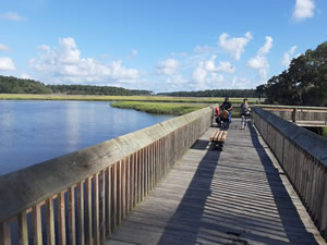
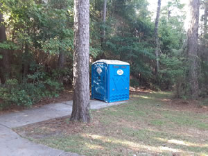
The Harris Neck Creek / Gullah Community has 2 fishing docks the first one closest to the main road is about 70 feet in length running parallel with the shoreline. The second is just up Harris Neck Creek and is about 35 feet in length with a 70 foot T at the end. There is a portolet on site.
White Chimney River Fishing Dock
Closest intersection is;
Shellman Bluff Road NE & Neal Boulevard
Townsend, GA 31331
The entrance to the ramp is 1/4 of a mile north on Shellamn Bluff Road and on the left.
Some GPS systems have road names mixed up for this area!
GPS 31° 34'51.66" N 81° 21'29.92"W
( Entrance )
GPS 31° 34'55.31" N 81° 21'33.73"W
NOAA Pine Harbor, Sapelo River 8674512
|
|
|
The White Chimney River fishing dock is about 35 feet in length over the water and has an "L" about 30 feet in length. The area has a small picnic pavilion and some picnic tables near the water. A small boat ramp is on site also.
Useful Links
| Coastal & Inshore Fishing Piers & Bridges in McIntosh County, Georgia |
|
|
| Areas in McIntosh County, Georgia Include; Ashintilly, Black Beard Island National Wildlife Refuge, Carnigan, Crescent, Darien, Eulonia, Harris Neck Wildlife Refuge, Julienton River, Meridan, Shellman Bluff, South Newport, Townsend, Valona and Wolf Island National Wildlife Refuge |
| Bodies of Brackish & Saltwater Water in McIntosh County, Georgia Include; Altahama, Atwood Creek, Back River, Barbour Island River, Barn Creek, Beach Creek, Beacon Creek, Blackbeard Creek, Broad River, Buzzard Roost Creek, Carnigan River, Cedar Creek, Crescent River, Dark Creek, Dead River, Deboy Sound, Duplin River, Eagle Creek, Folly River, Fox Creek, Front River, Harris Neck Creek, Hird Island Creek, Hudson Creek, Little Mud River, May Hall Creek, Mud River, New Teakettle Creek, North River, Old Teakettle Creek, Rockdedundy River, Sapelo Sound, Shell Creek, South Newport River, Swain River, Todd River, Wahoo River and White Chimney River. |
![]() Home
Home
![]() About
About
![]() Sitemap
Sitemap
![]() Credits
Credits
![]() Privacy
Privacy
![]() Advertise
Advertise
![]() Contact
Contact
![]()
