National Parks
and
State Parks
in
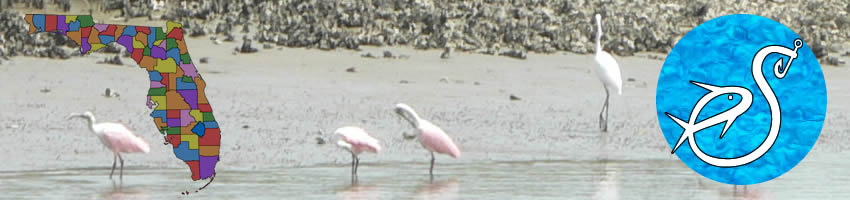
Franklin County, Florida
Seach our site below
Bald Point State Park
146 Box Cut Road
Alligator Point, FL 32346
850-349-9146
GPS 29° 56'15.34" N 84° 20'14.52" W
( North Gate Entrance )
GPS 29° 54'52.33" N 84° 20'12.31" W
( Sunrise Beach Area )
NOAA
Portolet at Sunrise Beach, Portolet at North Beach.

Ochlockonee River State Park / Actually in Wakulla County
429 State Park Road
Sopchoppy FL 32358
850-962-2771
8 a.m. until sundown
365 days a year
GPS 29° 59'59.65" N 84° 30'14.31" W
( Entrance )
NOAA
St. George Island State Park
4.5 miles east on CR 300
GPS 29° 41'05.34" N 84° 47'42.36" W
( Entrance gate )
NOAA St. George Island, East End, FL 8728548

Useful Links
| National & State Parks in Franklin County Florida |
|
|
| Areas in Franklin County Florida Include; Alligator Point, Apalachicola, Bald Point, Carrabelle, Eastpoint, Lanark Village and St. Teresa. |
| Areas of Salt and Brackish Water Franklin County Florida Include; Acorn Lake Creek, Alligator Harbor, Apalachicola Bay, Bear Creek, Big Bay, Big Bayou, Blounts Bay, Carabelle River, Cash Creek, Chipley Creek, Crooked River, Dickerman Cut, East Bay, East River, False River, Grassy Creek, Gulf of Mexico, Jackson River, Little River, Little St Marks River, New River, New River Bayou, Ochlockonee Bay, Ochlockonee River, Postum Bayou, Sams Creek Cutoff, Scipio Creek, St George Sound, St Vincent Sound, West Bayou and Whiskey George Creek. |
![]() Home
Home ![]() About
About ![]() Sitemap
Sitemap ![]() Credits
Credits
![]() Privacy
Privacy ![]() Advertise
Advertise ![]() Contact
Contact ![]()