Citrus County, Florida ~ Public Boat Ramps
- National &
State Parks - County &
City Parks - Beaches
- Boat Ramps
Citrus - Fishing Piers
Citrus - Map of
Boat Ramps - Boat Ramps
Adjoining Counties
Public Boat Ramps in Citrus County, Crystal River, Homosassa, Florida
Seach our site below
Chassahowitzka River Recreation Area Boat Ramp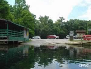 8600 West Miss Maggie Drive
Homosassa, FL 34448
GPS 28° 42'53.93" N 82° 34'37.85" W
( Waters edge at ramp )
Go to map of saltwater boat ramps Citrus County
|
|
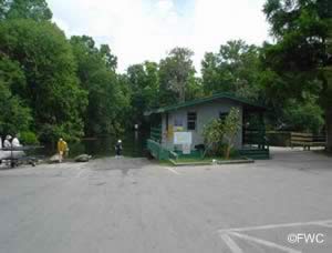
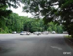
Technically freshwater, the Chassahowitzka River ramp offers; 2 launching lanes, 21 boat trailer parking spaces and restrooms. From here you can navigate down the river with your small boat towards the Gulf to the brackish and saltwater fishing opportunities. Please buy a combination saltwater and freshwater Florida fishing license to keep yourself on the safe side of the laws.

Cross Florida Greenway Boat Ramp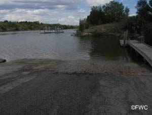 North Suncoast Boulevard ( Route 19 / 98 )
at the barge canal
Crystal River, FL 34428
GPS 29° 00'46.95" N 82° 39'44.33" W
( Waters edge at ramp )
Video of the Cross Florida Greenway Boat Ramp
Map of saltwater boat ramps Citrus County
|
|
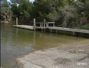
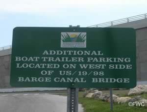
Located on the Cross Florida Barge Canal this facility offers; Single lane ramp, courtesy dock and parking for about 10 boat trailers directly at the ramp area. Lots of additional parking under bridge and a designated area on western side of bridge, the sign is on the bridges concrete abutement. Please be aware that you need to back your trailer 400' down to the ramp area at this location. once launched it is about 6.5 miles down the canal to Deadmans Key at the Gulf.
Restrooms are available at the park behind the FWC building. A 1500' walk via the trail or go back the road to the right just before the FWC building when driving in.

Crystal River City Boat Ramp
558 Northwest 3rd Avenue
Crystal River, FL 34428
GPS 28° 53'56.90" N 82° 35'46.78" W
( Waters edge at ramp )
Go to map of saltwater boat ramps Citrus County
NOAA Crystal River, Kings Bay, FL 8727343
|
|
Technically freshwater, but you can easily navigate to salt and brackish waters. Please buy a combination saltwater and freshwater Florida fishing license to keep yourself on the safe side of the laws. No real parking at this location.

Fort Island Gulf Beach Boat Ramp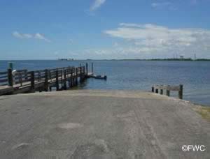 16000 West Fort Island Trail
Crystal River, FL 34429
GPS 28° 54'40.67" N 82° 41'32.62" W
( Waters edge at ramp )
Go to map of saltwater boat ramps Citrus County
NOAA Shell Island, Crystal River, FL 8727359
|
|
Fort Island Gulf Beach boat ramp offers; Single launching lane, courtesy dock, 24 paved boat trailer parking spaces & restrooms
The Roger Batchelor fishing pier on site also.

Fort Island Trail Park Boat Ramp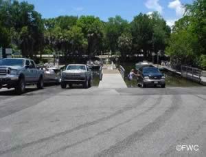 12073 West Fort Island Trail
Crystal River, Fl 34429
GPS 28° 54'12.48" N 82° 38'04.65" W
( Waters edge at ramp )
Go to Video of Fort Island Trail Park Boat Ramp
Go to map of saltwater boat ramps Citrus County
|
|
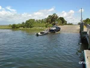
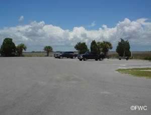
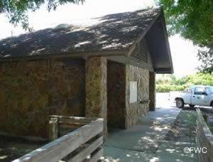
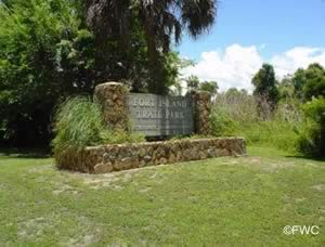
The Fort Island Trail Park boat ramp sits on 14 acres and offers; (2) 2 lane ramps, 47 paved trailer parking spaces, courtesy docks, picnicking, restrooms and lights.
The Fort Island Trail Park fishing pier on site also.

Mac Raes Boat Ramp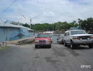 5290 South Cherokee Way
Homosassa, FL 34448
GPS 28° 47'06.04" N 82° 37'06.83" W
( Waters edge at ramp )
Go to map of saltwater boat ramps Citrus County
NOAA Ozello 8727306
|
|
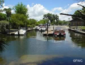
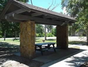
The Mac Raes boat ramp offer; Single launching lane, courtesy dock & 35 boat trailer parking spaces.

Mason Creek Boat Ramp
Closest cross street is;
West Restview Court & South Mason Creek Road
Homosassa, FL 34448
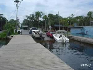
Ramp is located 1/10 of a mile south on South Mason Creek Road.
GPS 28° 45'40.38" N 82° 38'01.45" W
( Waters edge at ramp )
Go to map of saltwater boat ramps Citrus County
NOAA Mason Creek, Homosassa Bay 8727274
|
|

Mason Creek at South Hancock Road Boat Ramp
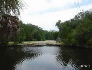 Closest intersection is;
West Grybek Drive & South Hancock Road
Homosassa, FL 34448
Located 1/10th mile south of the above intersection on South Hancock Road.
GPS 28° 45'51.05" N 82° 37'11.65" W
( Waters edge at ramp )
Go to map of saltwater boat ramps Citrus County
NOAA Mason Creek, Homosassa Bay 8727274
|
|

Ozello Community Park Boat Ramp & Hand Launch
410 North Pirate Point
Crystal River, FL 34429
GPS 28° 52'03.58" N 82° 39'54.80" W
( Waters edge at ramp )
Go to map of saltwater boat ramps Citrus County
Go to Video of Ozello Community Park Boat Ramp & Hand Launch
NOAA Ozello North, FL 8727328
|
|
The Ozello Community Park offers; Boat launching ramp primitive in style, hand launching of kayaks and canoes, parking for about 50 vehicles, a beautifully shaded picnic area & Port-O-Let toilet.

Ozello Park Airboat & Johnboat Sand Ramp
2045 South John Brown Drive
Crystal River, FL 34429
GPS 28° 49'52.48" N 82° 39'21.13" W
Go to map of saltwater boat ramps Citrus County
Go to our video of the Ozello Park sand boat ramp
NOAA Ozello, FL 8727306
|
|
The Ozello Park Airboat & Johnboat sand ramp is mainly used for airboat launching, 4x4 vehicle is recommended for launching. Parking for about 10-12 boat trailers. No restroom facilities at this location.

Ozello Trail Sand Boat Ramp
GPS 28° 50'14.11" N 82° 38'55.68" W
( Waters edge at ramp )
Go to map of saltwater boat ramps Citrus County
NOAA Ozello, FL 8727306
|
|
The Ozello Trail launching area is primitive in style and is good for small boats or hand launching of kayaks or canoes. Parking is limited. No amenities at this location.

Pete's Pier Boat Ramp
1 SW 1st Place
Crystal River, FL 34429
Go to Video of Pete's Pier Boat Ramp
Charges for parking at Pete's Pier are payable at the Baithouse. Parking for about 32 boat trailers. The parking fee is separate from the launch fee, which is payable at the meter-stand.

Useful Links
| Areas in Citrus County Florida Include; Beverly Hills, Black Diamond, Chassahowitzka, Citrus Hills, Citrus Springs, Crystal River, Floral City, Hernando, Holder, Homosassa, Homosassa Springs, Inverness, Inverness Highlands North, Inverness Highlands South, Lecanto, Meadowcrest, Pine Ridge, Pineola, Red Level and Sugarmill Woods. |
| Bodies of Salt & Brackish Water in Citrus County Florida Include; Bagley Cove, Battle Creek, Blue Bay, Buckford Creek, Chassahowitzka Bay, Chassahowitzka River, Crystal Bay, Crystal River, Dixie Bay, False Channel, Fish Creek Pass, Game Creek Bay, Greenleaf Bay, Gulf of Mexico, Gustaf Bay, Hell Gate, Homosassa Bay, Kings Bay, Little Coon Gap, Little Homosassa River, Mason Creek, Miller Creek, Pea Pass, Petty Creek, Porpoise Bay, Rocky Cove, Saint Martins River, Salt River, Sams Bayou, Seven Cabbage Cutoff, Shivers Bay, The Narrows, Tiger Tail Bay and Tony Creek. |
![]() Home
Home ![]() About
About ![]() Sitemap
Sitemap ![]() Credits
Credits
![]() Privacy
Privacy ![]() Advertise
Advertise ![]() Contact
Contact ![]()
