Glynn County, Georgia ~ Fishing Piers and Fishing Bridges
- National &
State Parks - County &
City Parks - Beaches
Glynn - Boat Ramps
Glynn - Fishing Piers
Glynn - Map of
Fishing Piers - Piers in
Adjoining Counties
Fishing from Piers & Bridges in Glynn County, Georgia
Seach our site below
Altamaha Regional Park Fishing Pier - Freshwater
1605 Altamaha Park Road
Brunswick, GA 31525
912-289-9068
GPS 31° 25' 40.92" N 81° 36' 23.49" W
( Foot of pier )
Fishing pier runnibg parralell with the shoreline for 135', shaded area on pier.
Boat ramp on site also
Not on map or navigation yet.
Blythe Island Regional Park Fishing Pier - Clarence Hilburn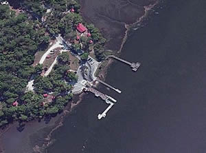 6616 Blythe Island Highway
Brunswick, GA 31523
GPS 31° 09' 07.78" N 81° 32' 47.69" W
|
|
|
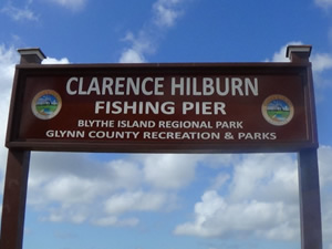
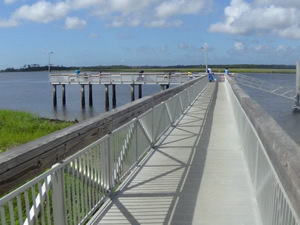
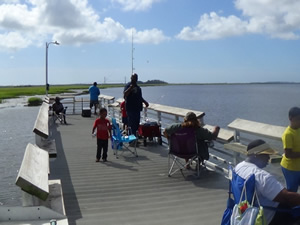
The Clarence Hillburn fishing pier at Blythe Island Regional Park is about 100 feet in length over the water and then has an 80' "L". You can also fish from the floating section as long as you give boats pulling up and leaving priority. The Park also offers; numerous picnic pavilions and restrooms. There is a boat ramp and boat lift on site also.
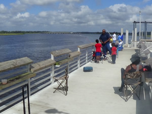
Fishing Pier of WEST Complex on F. J. Torras Causeway Crossing Back River EASTERN PIER
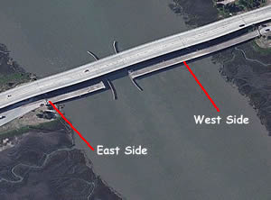 This pier is only accessible if heading westbound on Torras Causeway.
GPS 31° 09' 54.32" N 81° 26' 43.04" W
( Foot of pier )
|
|
|
The fishing pier is about 250 feet in length over the Back River. No amenities at this location.
Fishing Pier of WEST Complex on F. J. Torras Causeway Crossing Back River WESTERN PIER
 This Pier is accessible from both the east and west bound lanes on the Torras Causeway.
GPS 31° 09' 50.76" N 81° 26' 52.95" W
( Foot of pier )
NOAA Frederick River Bridge 8677045
|
|
|
The fishing pier is 550 feet in length, with about 300 feet of that over waters of the Back River.
Fishing Pier of EAST Complex on F. J. Torras Causeway Crossing Back River WESTERN PIER
GPS 31° 10'17.68" N 81° 25'37.27" W
( Foot of pier )
GPS 31° 10'16.05" N 81° 25'53.27" W
( Entrance to pier off the causeway )
|
|
|
Pier is 425 feet in length over the western banks of the Mackay River.
Fishing Pier of EAST Complex on F. J. Torras Causeway Crossing Back River EASTERN PIER
GPS 31° 10'14.67" N 81° 25'23.71" W
( Foot of pier )
GPS 31° 10'10.12" N 81° 24'59.36" W
( Entrance to pier area off the causeway )
|
|
|
This pier is 425 feet in length from the eastern banks of the Mackay River.
The Mackay River boat ramp is on site also.
Gascoigne Bluff Fishing Pier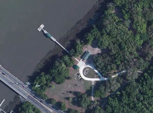 1000 Arthur J. Moore Drive
St. Simons Island, GA 31522
GPS 31° 10'03.54" N 81° 24'39.64" W
( Foot of pier )
|
|
|
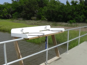
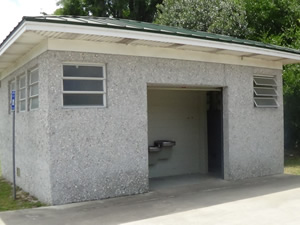
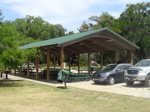
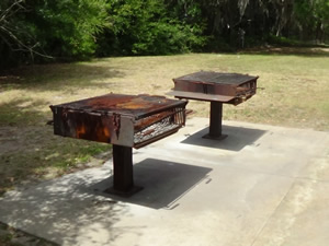
The Gascoigne Bluff fishing pier is about 255' in length over waters of the Frederica River. The pier has a shade structure midway out. Restrooms and a fairly large picnic pavilion with two large grills are on site also. A frisbee golf course is next door in a nicely shaded area too!
The St Simons Marina boat lift is just up the road also.
Jekyll Creek Fishing Pier / Dock ~ Behind Tideland Nature Closest intersection is;
South River View Drive & Harbor Road
Jekyll Island, GA 31527
Go South on South River View Drive for 1/2 mile, turn right near Tidelands Nature Center and go around pond and pier is about another 1/2 mile.
GPS 31° 02'31.50" N 81° 25'21.75" W
( Foot of pier )
See Video of the Jekyll Creek Fishing Pier
|
|
|
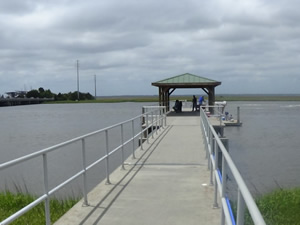
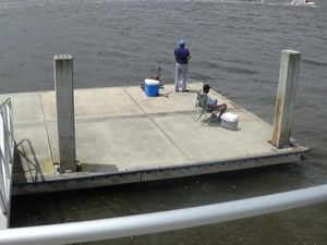
The Jekyll Creek / Tidelands pier is also serves as the courtesy dock for the boat ramp.
The floating dock / pier is 120' in length.
A boat ramp on site also. Please be courteous to the boats utilizing the dock.
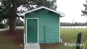
Jekyll Island Causeway Fishing Piers
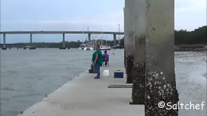
The western pier is 1.3 miles east of the tool booths, entrance is on the right heading east.
GPS 31° 02' 51.14" N 81° 25' 34.09" W
( Foot of western side pier )
Western pier is 850' in length.
.....................................................................................Closest intersection for eastern pier is;
Riverview Drive & Jekyll Island Road
Jekyll Island, Georgia 31527
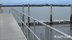
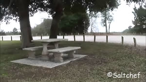
From above intersetion go on Jekyll Island Road to parking area, pier is at the end.
GPS 31° 02' 51.24" N 81° 25' 18.55" W
( Foot of eastern side pier )
Eastern pier is 280' in length.
Jekyll Fishing Center Fishing Pier
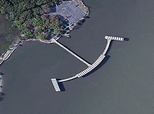 10 Clam Creek Road
Jekyll Island, GA 31527
GPS 31° 07' 00.97" N 81° 25' 03.78" W
( Foot of pier )
|
|
|
Marshes of Glynn Overlook Park Fishing Pier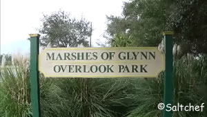 Closest intersection is;
New Jesup Hwy & Glouchester Street
Brunswick, GA 31520
Park can only be accessed legally when heading north on Jesup Hwy / Glynn Ave.
GPS 31° 09'07.41" N 81° 28'38.67" W
( Foot of pier )
See Video of the Marshes of Glynn fishing pier
|
|
|
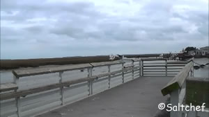
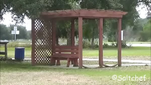
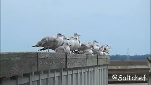
The Marshes of Glynn fishing pier is is about 140 feet in length over waters of Clubbs Creek. The facility has several lattice covered sitting areas offering beautiful views of the creek, marshes and the wildlife. No restroom facilities at this location.
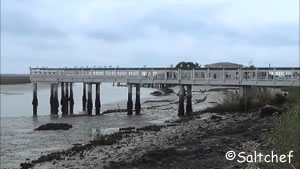
Sidney Lanier Park Fishing Pier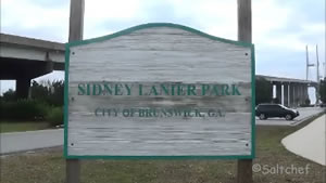 Closest intersection is;
Glynn Avenue & Conservation Way
Brunswick, GA 31520
This intersection is at the northern base of the bridge, turn in and make a left and the pier is on the water.
GPS 31° 07'22.91" N 81° 28'55.95" W
( Foot of pier )
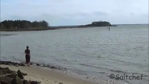
See video of the Sidney Lanier Park fishing pier
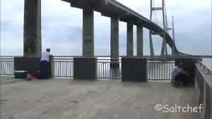
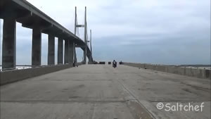
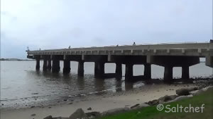
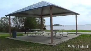
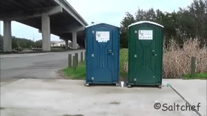
The Sidney Lanier Park pier is 290 feet in length and 55 feet in width, over the northern shore waters of the Brunswick River. Picnic pavilions and picnic areas have beautiful views of the Sidney Lanier Bridge. The park has port-o-lets, which are located near the boat ramp area.
Lots of car parking here.
There is a boat ramp on site also.
St Simons Island Neptune Park Fishing Pier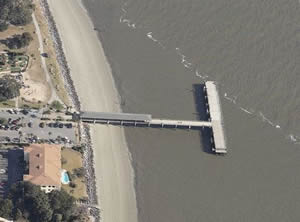 110 Mallery Street
Saint Simons, GA 31522
GPS 31° 08' 02.67" N 81° 23' 47.80" W
|
|
|
The St Simons Neptune Park pier is 325 feet in length, with a 270 "T" at the end. The park offers; Shaded area at start of pier, restrooms, fish cleaning station, beach access, playground, benches, pavilion & picnic tables.
Useful Links
| Public Fishing Piers in Glynn County Georgia |
| Areas in Glynn County, Georgia include; Brunswick, Country Club Estates, Dock Junction, Everett, Jekyll Island, Sea island, Sterling, St. Simons and Thalmann. |
| Bodies of brackish and saltwater in Glynn County, Georgia include; Acamemy Creek, Altahama River, Atlantic Ocean, Back River, Belle Point Creek, Black Bank River, Brailsford Creek, Brunswick River, Buck Swamp, Buffalo River, Bungalow Creek, Burnett Creek, Cedar Point Creek, Chubbs Creek, Clubbs Creek, Cowpen Creek, Crooked Creek, Cypress Mill Creek, Dillard Creek, Dunbar Creek, Dupree Creek, Eagle Nest Creek, East River, Fancy Bluff Creek, Frederica River, Gibson Creek, Grant Creek, Hampton River, Hillery Slough, Hog Crawl Creek, Jekyll River, Jekyll Sound, Jointer Creek, Jones Creek, Jove Creek, Latham River, Little Buffalo Creek, Little Stailla River, Laurel Grove Creek, Little River, Long Creek, Mackay River, Morrison Slough, Mosquito Creek, New Hope Creek, Oatland Creek, Oglethorpe Bay, Parsons Creek, Pine Creek, Plantation Creek, Postell Creek, Ratcliffe Creek, Sam Creek, South Altamaha River, South Brunswick River, St Simons Sound, Tayla Creek, Terry Creek, Troup Creek, Tuirtle River, Village Creek, Wallys Leg, White Oak Creek, Wilson Creek and Yellow Bluff Creek. |
![]() Home
Home ![]() About
About ![]() Sitemap
Sitemap ![]() Credits
Credits ![]() Privacy
Privacy ![]() Advertise
Advertise ![]() Contact
Contact ![]()
