Wakulla County, Florida ~ Boat Ramps
- National &
State Parks - County &
City Parks - Beaches
- Boat Ramps
Wakulla - Fishing Piers
Wakulla - Map of
Boat Ramps - Boat Ramps
Adjoining Counties
Public Boat Ramps in Panacea, Crawfordville, Sopchoppy & St Marks, Florida
Seach our site below
Blue Dolphin Drive Boat Ramp
Closest intersection is;
Kornegay Way & Blue Dolphin Drive
Crawfordville, FL 32327
Ramp is 100 feet down Blue Dolphin Drive from above intersection.
GPS 30° 04'13.00" N 84° 18'11.61" W
( Waters edge at ramp )
NOAA Shell Point, Walker Creek, FL 8728229
The Blue Dolphin ramp offers; single launching lane, floating dock slightly off to the side of ramp, parking for maybe 5 boat trailers ( watch driveway entrances, please ) and portable restrooms ( sometimes ? ).
Bottoms Road Boat Ramp ~ St Marks Wildlife Refuge
Closest major intersection is;
US 98 & Bottoms Road
Panacea, Fl 32346
Approxiametely 2.5 miles down Bottoms Road from the above intersection.
GPS 30° 00'56.82" N 84° 22'06.30" W
( Waters edge at ramp )
Go to map of boat ramps Wakulla County
NOAA Bald Point, Ochlockonee Bay, FL 8728237
Brothers Three Boat Ramp
Closest intersection is;
Surf Road & Roho Road
32358
Ramp is 700' down Roho Road.
GPS 29° 59'26.78" N 84° 25'53.16" W
( Waters edge at ramp )
NOAA
Ramp in rough condition.
Levy Bay Road ~ AKA ~ Circle Point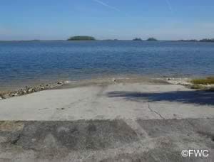 Closest intersection is;
Levy Bay Road & Chattahochee Street
Panacea, FL 32346
Ramp is 7/10ths of a mile down Levy Bay Road from above intersection.
GPS 30° 00'21.53" N 84° 22'58.64" W
( Waters edge at ramp )
Go to map of boat ramps Wakulla County
NOAA Bald Point, Ochlockonee Bay, FL 8728237
Lower Bridge Boat Ramp
6527 Coastal Highway
Crawfordville, FL 32327
GPS 30° 10'33.06" N 84° 14'42.08" W
( Waters edge at ramp )
NOAA St. Marks, St. Marks River, FL 8728142
Go to map of boat ramps Wakulla County
Technically listed as a freshwater ramp, it is possible to navigate down the Wakulla River towards brackish and saltwater fishing opportunities. Be on the safe side of the regulations and purchase a combination fishing license for both fresh and saltwater.
Mashes Sands Public Boat Ramp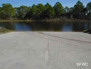 843 Mashes Sands Road
Panacea, FL 32346
Park Hours are from Sunrise to Sunset
Small launch fee charged.
GPS 29° 58'21.07" N 84° 20'44.51" W
Go to map of boat ramps Wakulla County
NOAA Bald Point, Ochlockonee Bay, FL 8728237
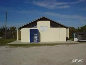
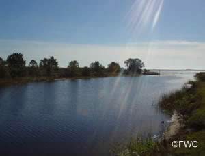
The Mashes Sands boat ramp offers; 2 launching lanes, courtesy docks, about 22-24 paved boat trailer parking spaces and restrooms. There is also a dedicated hand launch area on the opposite side of the water at the ramp. Fishing pier on site also.
Ochlockonee State Park Boat Ramp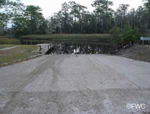 Closest intersection is;
U.S. 319 & Curtis Mill Road
Sopchoppy, FL 32358
Entrance is 900 feet south on US 319 from the above intersection.
GPS 29° 59'57.42" N 84° 28'50.17" W
( Waters edge at ramp )
Go to map of boat ramps Wakulla County
NOAA Bald Point, Ochlockonee Bay, FL 8728237
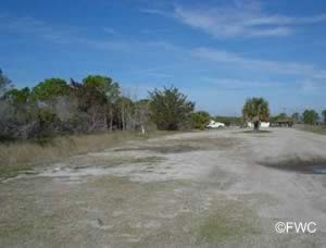
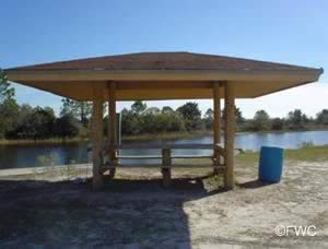
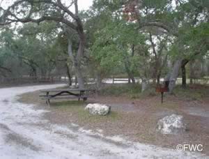
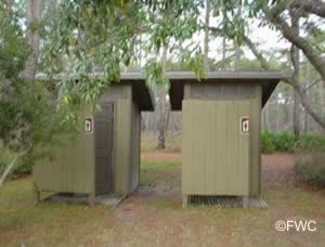
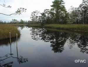
Ochlockonee State Park boat ramp offers; 2 launching lanes, small courtesy dock, picnic areas and restrooms.
Rock Landing Public Boat Ramp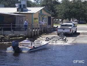 99 Rock Landing Street
Panacea, FL 32346
Small launching fee applies
GPS 30° 01'18.95" N 84° 23'08.59" W
( Waters edge at ramp )
Go to map of boat ramps Wakulla County
NOAA Panacea, Dickerson Bay, FL 8728269
Rock Landing boat ramp in Panacea, Florida offers; 2 launching lanes, courtesy dock and parking for about 25 boat trailers and portolet.
Shell Point Boat Ramp
Beaty Taff Drive & Shell Point Drive
Crawfordville, FL 32327
GPS 30° 03'33.38" N 84° 17'33.12" W
The Shell Point boat ramp offers; Double wide launching lane, courtesy docks, 21 boat trailer parking spaces and portable restroom.
Shell Point Hand Launch ~ Kayaks ~ Hobies
Beaty Taff Drive & Pebble Court
Crawfordville, FL 32327
GPS 30° 03'28.78" N 84° 17'25.85" W
Shell Point Beach Park offers; beach access, surf fishing, sunbathing, large pavilion, smaller individual pavilions, benches, kayak launching, rinsing showers and restrooms.
St Marks Public Boat Ramp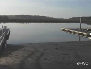 Closest intersection is;
Fire Escape Road & Old Fort Drive
St. Marks, FL 32327
Ramp area is ¼ south on Fire Escape Road from the above intersection.
GPS 30° 09'05.23" N 84° 12'34.92" W
( Waters edge at ramp )
Go to map of boat ramps Wakulla County
NOAA St. Marks, St. Marks River, FL 8728142
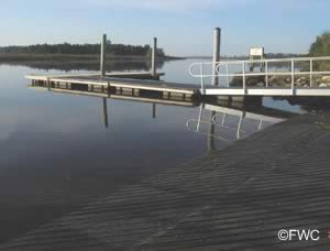
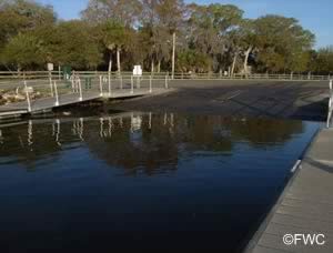
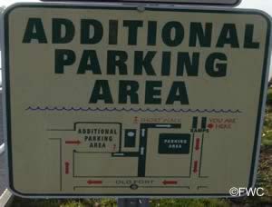
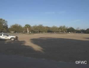
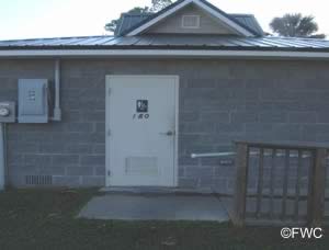
The St Marks public boat ramp offers; 2 launching lanes, courtesy docks, parking for about 50 boat trailers, picnic area and restrooms.
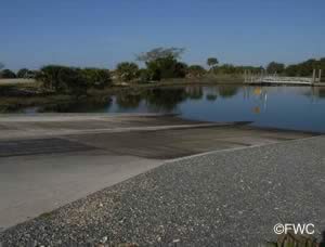
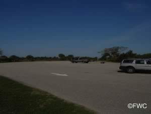
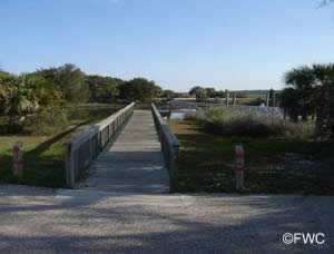
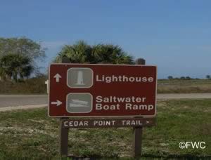
St Marks Wildlife Refuge Lighthouse Point Boat Ramp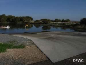 1255 Lighthouse Road
St. Marks, FL 32355
Once at the entrance to St Marks Wildlife Refuge you travel approxiametely 6.5 miles further down Lighthouse Road to the Lighthouse Point boat ramp.
GPS 30° 04'43.34" N 84° 10'41.13" W
( Waters edge at ramp )
Go to map of boat ramps Wakulla County
NOAA St. Marks Lighthouse, Apalachee Bay, FL 8728130
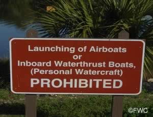
Airboats and personal watercraft are prohibited.
Flush toilets are available a short distance away at the picnic grounds on Lighthouse Road back towards the entrance.
Wakulla Beach Primitive Sand Ramp
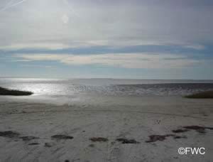 Closest intersection is;
US 98 & Wakulla Beach Road
Crawfordville, FL 32327
Ramp area is 4 miles down Wakulla Beach Road from above intersection.
GPS 30° 06'17.31" N 84° 15'41.57" W
( Waters edge at ramp )
Go to map of boat ramps Wakulla County
NOAA St. Marks Lighthouse, Apalachee Bay, FL 8728130
Useful Links
| Public Boat Ramps in Wakulla County Florida |
| Areas in Wakulla County Florida include; Aaran, Buckhorn, Crawfordville, Hyde Park, Medart, Newport, Panacea, Port Leon, Sanborn, Shell Point, Smith Creek, Sopchoppy, Spring Creek, St. Marks, Wakulla and Wakulla Beach. |
| Areas of Salt and Brackish Water Wakulla County Florida include; Dickerson Bay, Goose Creek Bay, Gulf of Mexico, Olockonee Bay and Oyster Bay. |
![]() Home
Home ![]() About
About ![]() Sitemap
Sitemap ![]() Credits
Credits
![]() Privacy
Privacy ![]() Advertise
Advertise ![]() Contact
Contact ![]()
