Taylor County, Florida ~ Boat Ramps
- National &
State Parks - County &
City Parks - Beaches
- Boat Ramps
Taylor - Fishing Piers
- Map of
Boat Ramps - Boat Ramps
Adjoining
Counties
Find Public Boat Ramps in Taylor County, Florida
Seach our site below
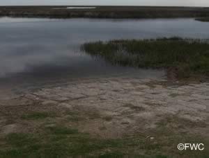
Big Bend WMA Hickory Mound Unit East Primitive Boat Ramp
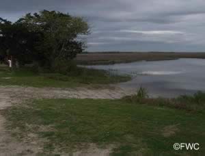 GPS of Route 98 & Cow Creek Grade intersection is;
30° 08'33.99" N 83° 50'17.87" W
From US 98 drive south on Cow Creek Grade
(rough road) for approx. 9 miles
GPS 30° 00'53.68" N 83° 51'02.82" W
( Waters edge at ramp )
Go to map of boat ramps Taylor County
NOAA Spring Warrior Creek 8727843
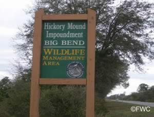
Big Bend WMA Hickory Mound Unit West Primitive Boat Ramp
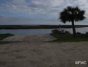 GPS of Route 98 & Cow Crek Grade intersection is;
30° 08'33.99" N 83° 50'17.87" W
From US 98 drive south on Cow Creek Grade
(rough road) for approx 9 miles
GPS 30° 00'55.06" N 83° 52'04.92" W
( Waters edge at ramp )
Go to map of boat ramps Taylor County
NOAA Spring Warrior Creek 8727843
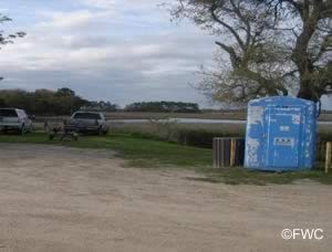

Big Bend WMA Hickory Mound Unit Inside Primitive Boat
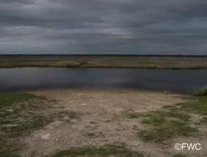 GPS of Route 98 & Cow Creek Grade intersection is;
30° 08'33.99" N 83° 50'17.87" W
From US 98 drive south on Cow Creek Grade
(rough road) for 9 miles
GPS 30° 00'51.73" N 83° 51'12.97" W
( Waters edge at launch )
Go to map of boat ramps Taylor County
No tide data to this ramp since it is on the inside of the impoundment dike.
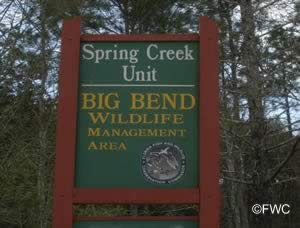
Big Bend WMA Spring Creek Unit Boat Ramp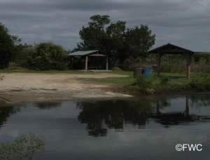 Southern end of Spring Creek Road
Hampton Springs, FL 32347
GPS 29° 58'20.19" N 83° 44'42.67" W
( Waters edge at ramp )
Go to map of boat ramps Taylor County
NOAA Rock Islands TEC4309
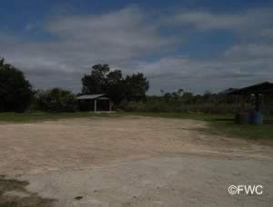
Big Bend WMA Tide Swamp Unit Dallus Creek Boat Ramp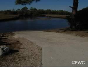
Head west 4.5 miles on CR 361 from Steinhatchee you should see a boat ramp sign pointing to the left. Go down this road first Y in road about 4/10 mile down, stay to the left, road winds around a bit, at the next Y in the road about another 7/10ths of a mile down, stay to the right, stay on this portion of the road for about 2 miles, and the ramp is on the right at a sharp bend to the left.
GPS 29° 43'17.71" N 83° 29'11.29" W
( Waters edge at ramp )
GPS 29° 44'06.35" N 83° 26'59.57" W
( Intersection where you turn off CR 361 )
Go to map of boat ramps Taylor County
NOAA Steinhatchee 8727695
Parking for about 6 vehicles with trailers.
The Dallus Creek is best suited for use by small shallow draft boats and kayaks, adjacent waters are shallow and tricky to navigate due to sand & oyster bars. Dallus Creek does provide access to a series of salt marsh creeks and the shallows along the coast. This is technically a freshwater ramp according to FWC. Please be sure to have the proper fishing license for where your fishing or you can purchase a combination license and be on the safe side of the regulations.
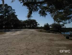
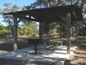
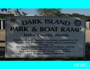
Dark Island Park & Public Boat Ramp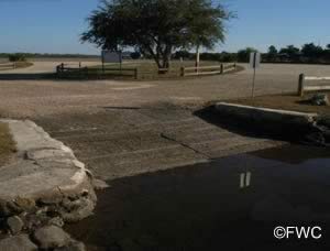 CR 480 & Gulfview Road
Perry, FL 32356
GPS 29° 48'13.93" N 83° 35'19.54" W
( Waters edge at ramp )
Go to map of boat ramps Taylor County
NOAA Fishermans Rest TEC4305
This ramp provides access to the open Gulf of Mexico. The canal is narrow and shallow and is best suited for smaller boats. Larger boats can be easily accomadated at the nearby Keaton Beach public boat ramp.
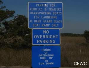
The Dark Island ramp is located in a residential neighborhood and closes at sunset.
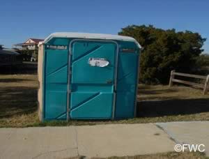
port-o-lets, picnic area, courtesy docks and parking for about 6 boat trailers.
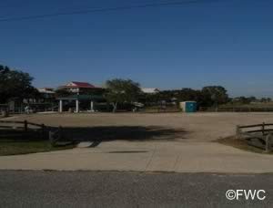
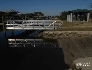
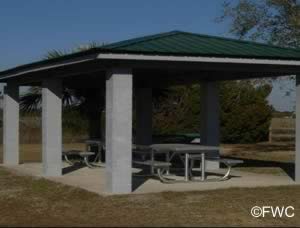
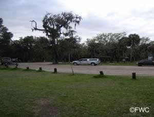
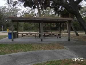
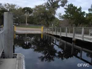
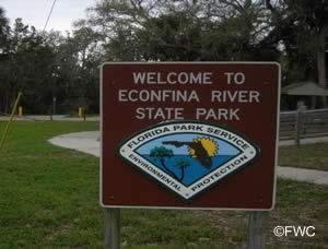
Econfina River State Park Boat Ramp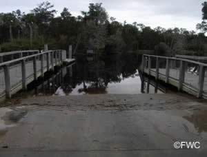 County Road 14 South
Econfina, Florida 32336
850-922-6007
GPS 30° 03'31.20" N 83° 54'24.23" W
( Waters edge at ramp )
Go to map of boat ramps Taylor County
NOAA Rock Islands TEC4309
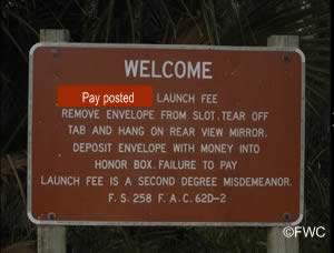
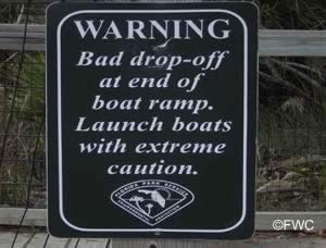
Fenholloway River Public Boat Ramp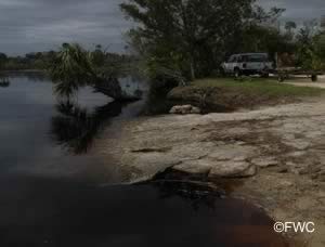 Southern end of CR 356
Perry, FL 32348
GPS 29° 59'44.68" N 83° 46'34.59" W
( Waters edge at ramp )
Go to map of boat ramps Taylor County
NOAA Rock Islands TEC4309
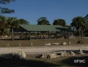
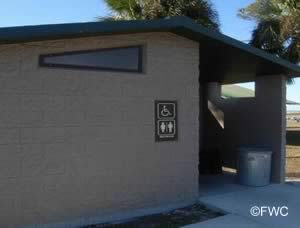
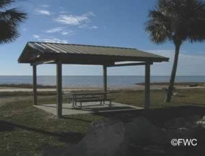
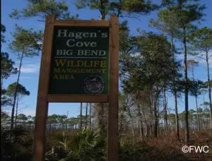
Hagen's Cove Road Boat Ramp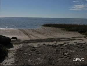 CR 361 & Hagen's Cove Road
Steinhatchee, FL 32359
The above address does not populate well into map programs.
GPS of above intersection is;
29° 46'34.18" N 83° 33'37.74" W
Head west approxiametely 12 miles on CR 361 from Steinhatchee, you should see a sign on your left for Hagen's Cove Big Bend Wildlife Management Area, Take this road back about 1.3 miles to Hagen's Cove.
GPS 29° 46'20.69" N 83° 34'47.96" W
( Waters edge at ramp )
Go to map of boat ramps Taylor County
NOAA Fishermans Rest TEC4305
Keaton Beach Public Boat Ramp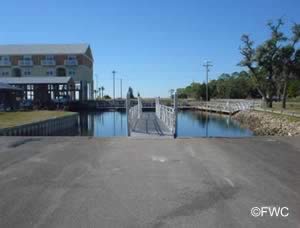 CR 361 & CR 458
Perry, FL 32356
GPS 29° 49'46.85" N 83° 35'35.78" W
( Waters edge at ramp )
Go to map of boat ramps Taylor County
NOAA Fishermans Rest TEC4305
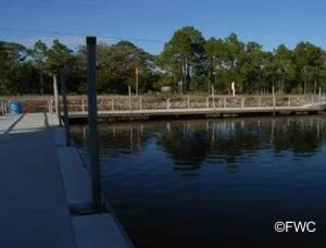
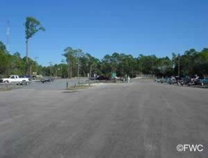
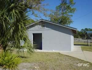
4 launching lanes, courtesy docks, 43 boat trailer parking spaces on ramp side and 52 additional spots across road and restrooms.
Ladds Landing Hand Launch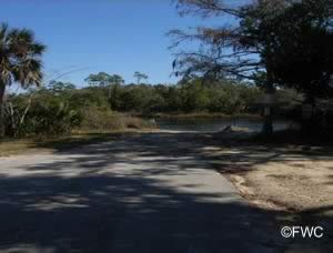 1st Avenue Northeast
Steinhatchee, FL 32359
GPS 29° 40'32.91" N 83° 21'57.13" W
( Waters edge at ramp )
Go to map of boat ramps Taylor County
NOAA Steinhatchee, FL 8727695
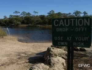
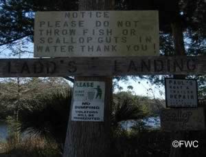
Ladds Landing hand launch area offers; sand ramp, parking along 1st Avenue with respect to private driveways. No restrooms at this location, plan accordinally please.
Nutall Rise Boat Ramp
Route 98 and Aucilla Landing Road
Lamont, FL 32336
GPS 30° 08'51.68" N 83° 58'08.14" W
( Waters edge at ramp )
Go to map of boat ramps Taylor County
NOAA Mandalay, Aucilla River, FL 8727989
Technically a freshwater ramp. Small shallow draft boats can navigate down the Aucilla with caution and access brackish and saltwaters.
Please be sure to have the proper fishing licenses in hand or you can purchase a combination license and be on the safe side.
Old Club House Road Boat Ramp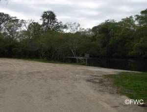 Closest intersection is;
CR 356 & Old Club House Road
Perry, FL 32348
Go down Old Club House Road for 1.1 miles to the ramp from the above intersection.
GPS of above intersection is;
30° 00'51.26" N 83° 45'45.24" W
GPS 30° 00'34.46" N 83° 46'46.08" W
( Waters edge at ramp )
Go to map of boat ramps Taylor County
NOAA Rock Islands TEC4309
Old Club House Road boat ramp is along the Fenholloway River and offers; launching ramp and parking for 15-20 boat trailers. No restrooms at this location.
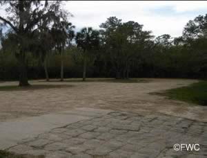
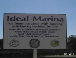
Steinhatchee / Ideal Marina Public Boat Ramp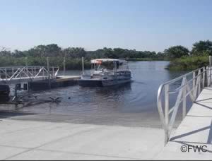 1st Avenue South & 1st Street East
Steinhatchee, FL 32359
GPS 29° 40'22.02" N 83° 23'32.95" W
( Ramp )
Go to map of boat ramps Taylor County
NOAA Steinhatchee, FL 8727695
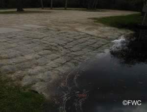
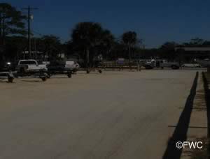
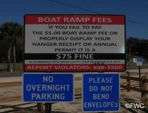
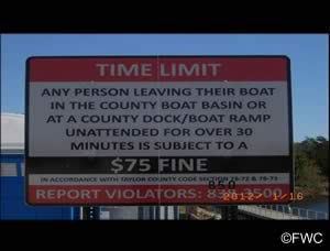
The Steinhatchee / Ideal Marina boat ramp offers; 3 launching lanes, floating courtesy docks, 42 boat trailer parking spaces, with additional spaces in grass lot along 1st St. East across 1st Ave South and portolets.
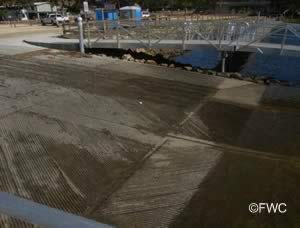
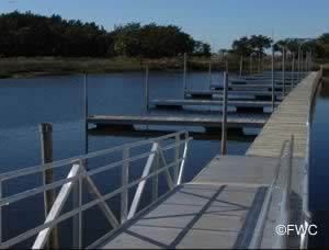
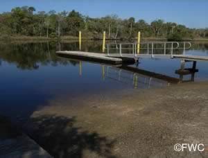
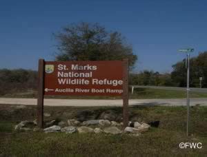
St Marks National Wildlife Refuge Aucilla River Boat Ramp
 Route 98 & 690
Lamont, FL 32336
Go down 690, ( St Marks sign at this intersection ) for 1.3 miles, Go 7/10th of a mile to CR 691 turn left, Take 691 down 1 mile to the end and the ramp.
GPS 30° 06'59.40" N 83° 58'46.53" W
( Waters edge at ramp )
Go to map of saltwater boat ramps Taylor County
NOAA Mandalay, Aucilla River, FL 8727989
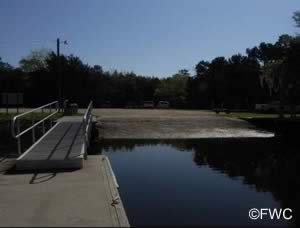
At low tides the river is shallow at this location, but the concrete ramps extend far into the water. The ramp can accomadate 18-20 foot shallow draft outboard boats if used with caution.
Yates Creek Road Boat Ramp
Closest intersection is;
Yates Creek Road & Seaview Boulevard
Perry, FL 32348
From the above intersection stay on Yates Creek Rd for 1.25 miles to the ramp area.
GPS 29° 53'51.12" N 83° 39'02.86" W
( Waters edge at ramp )
Go to map of boat ramps Taylor County
NOAA Spring Warrior Creek, FL 8727843
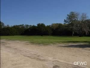
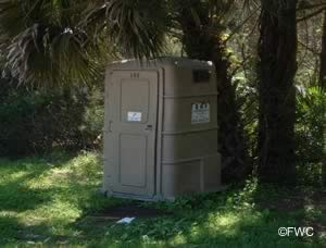
The Yates Creek ramp is primitive in nature; Sand launch with no courtesy docks, parking for about 15 boat trailers. No restrooms at this location.
Useful Links
| Public Boat Ramps in Taylor County Florida |
|
|
| Areas in Taylor County Florida include; Athena, Bucell Junction, Clara, Dekle Beach, Eridu, Fenholloway, Fish Creek, Foley, Hampton Springs, Iddo, Keaton Beach, Lakebird, Perry, Pinland, Salem, Shady Grove, Steinhatchee and Tennille. |
| Areas of Salt and Brackish Water Taylor County Florida include; Gulf of Mexico, Steinhatchee River. |
![]() Home
Home ![]() About
About ![]() Sitemap
Sitemap ![]() Credits
Credits
![]() Privacy
Privacy ![]() Advertise
Advertise ![]() Contact
Contact ![]()
