St. Johns County, Florida ~ National and State Parks
- National &
State Parks - County &
City Parks - Beaches
St Johns - Boat Ramps
St Johns - Fishing Piers
St Johns - Map of
Parks - Parks in
Adjoining
Counties
Saltwater Fishing at National and State Parks St. Johns County, Florida
Seach our site below
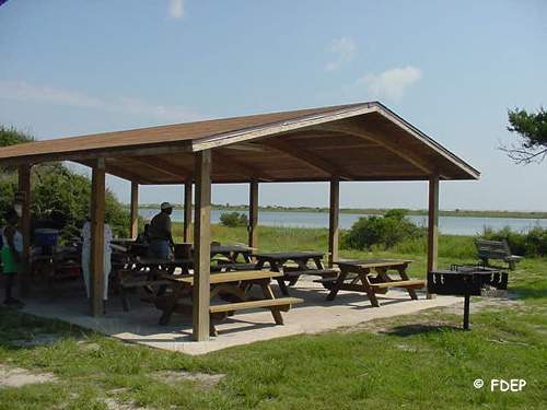
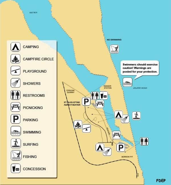
Anastasia State Park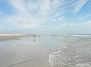
300 Anastasia Park Road
St. Augustine FL 32080
1-904-461-2033
GPS 29° 52'39.30" N 81° 16'50.98" W
( Entrance )
Fees:
$8.00 per vehicle 2 - 8 people
$4.00 Single occupant vehicle
$2.00 Pedestrians, bicyclists, extra passengers, passengers in vehicle with annual Individual passes
Hours:8:00am - Sundown 365 days per year
|
|

Castillo De San Marcos | Fort Downtown St Augustine
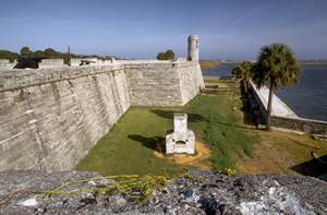
GPS 29° 53'45.37" N 81° 18'40.12" W
Not really any fishing here, but a VERY cool place to learn about the history of this area.

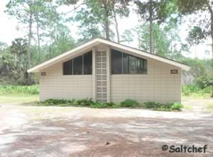
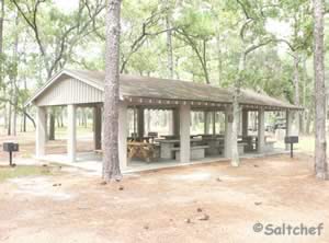
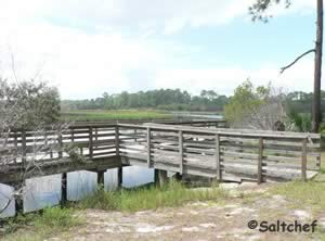
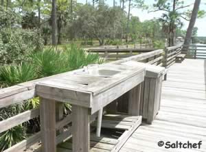
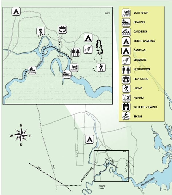
Faver Dykes State Park 1000 Faver Dykes Road
St. Augustine, Florida 32086
904-794-0997
GPS 29° 40'01.87" N 81° 16'07.71" W
Fees do apply at this park, call the above number for rates. Honor box system.

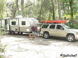
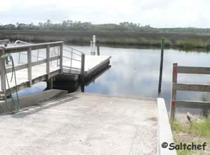
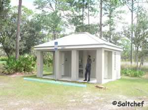
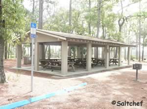

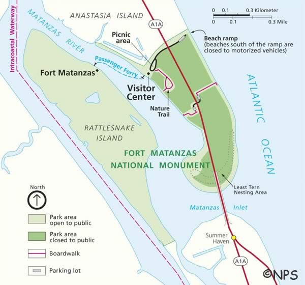
Fort Matanzas National Monument 8635 A1A South
St. Augustine, FL 32080
904-471-0116
GPS 29° 43'00.95" N 81° 13'57.74" W
( Entrance area for the main river side or the drive-on beach area )
Fishing on both the ocean side and the river side.

Guana Tolomato Matanzas Reserve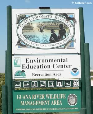
505 Guana River Rd #6527
Ponte Vedra Beach, FL 32082
•Approxiamately 8 miles north of;
Vilano will be on the left.
•Approxiamately 10 miles south of;
Mickler Beachfront Park will be on the right
30° 01'25.88" N 81° 19'25.42" W
( Entrance to Enviromental Education Center )
30° 01' 24.91" N 81° 19'39.19" W
( Lake boat ramp on dam )
30° 01'21.73" N 81° 19'40.19" W
( Tidal water boat ramp on dam )
30° 04'23.21" N 81° 20'06.09" W
( South Beach Parking Area on A1A )
30° 05'06.82" N 81° 20'16.61" W
( Middle Beach Parking Area on A1A )
30° 07'02.25" N 81° 20'45.45" W
( North Beach Parking Area on A1A )
|
|
Fees:
$3.00 per vehicle up to 8 people
$1.00 per pedestrian, bicyclists, and extra persons in vehicle above 8
Hours:
8:00am - Sunset
Guana River Dam Use Area opens at 4:00am - 11:00pm
At the Dam you can choose to focus on the fresh water of the lake on the northern side or you can choose the tidal waters on the southern side. Small boats can be launched into either at this location. Watch the tides on the tidal side to prevent yourself from being stranded at low tide conditions. Please see the check the tides near here button we have provided for information from closest NOAA Station. Please, be aware that your actual locations tides times will vary depending on distance from station, winds and other factors. The tidal creek is NOT maintained for navigation, small boats only.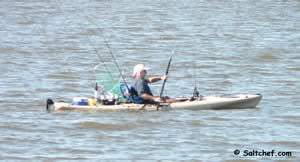
The trails abound at Guana Tolomato Matanzas Reserve for biking, horseback riding and hiking, bring plenty of water for yourself!
National Estuarine Research Reserve is directly on the right as you enter this area.
Go to the beaches page showing Guana Tolomato beach access locations.
Useful Links
| National & State Parks in St Johns County that offer salt or brackish water fishing opportunities |
| Areas in St. Johns County Florida include; St Augustine, Ponte Vedra, Vilano, St Augustine Beach, Nocatee, World Golf Village, Butler Beach, Palm Valley, Crescent Beach and Fruit Cove. |
| Bodies of brackish and saltwater in St. Johns County Florida include; Atlantic Ocean, Cabbage Creek, Capo Creek, Casa Cola Creek, Cunningham Creek, Cut Creek, Deep Creek, Durbin Creek, East Creek, Guana River, Hospital Creek, Intracoastal Waterway, Julington Creek, Matanzas Inlet, Matanzas River, Marshall Creek, Moultrie Creek, Pancho Creek, Pellicer Creek, Red House Branch, Robinson Creek, Salt Run, San Sebastian River, Six Mile Creek, Smith Creek, Sombrero Creek, St Augustine Inlet, St Johns River, Stokes Creek, Tolomato River, Ximanies Creek. |
![]() Home
Home
![]() About
About
![]() Sitemap
Sitemap
![]() Credits
Credits
![]() Privacy
Privacy
![]() Advertise
Advertise
![]() Contact
Contact
![]()
