Find Public Boat Ramps in Franklin County, Florida
- National &
State Parks - County &
City Parks - Beaches
Franklin - Boat Ramps
Franklin- Abercrombie Boat Ramp
AKA Pine Log - Battery Park Boat Ramp
- Carrabelle City Boat Ramp
- Carrabelle Marine Street
Public Boat Ramp - Cow Creek Boat Ramp
Hand Launch - Doyle Creek Boat Ramp
- East River Landing Boat Ramp
- Gardner Landing Boat Ramp
- Indian Creek Park Boat Ramp
Old Ferry Dock - Ochlockonee Bay Bridge
Boat Ramp - Ochlockonee State Park
Boat Ramp
Actually Wakulla County
- Rock Landing
Crooked River Boat Ramp - St. George Island Bridge
West Side Boat Ramp
New Area - St. George Island Bridge
West Side Boat Ramp
Old Area - St. George Island State Park
Boat Ramp 1 - St. George Island State Park
Boat Ramp 2 - St. Teresa Wayside Boat Ramp
- Seafood Landing Park
- Sun & Sands Boat Ramp
- Tates Hell State Forest
Cash Creek Boat Ramp - Timber Island Boat Ramp
- Whiskey George Creek Boat Ramp
- Abercrombie Boat Ramp
- Fishing Piers
Franklin - Map of
Boat Ramps - Boat Ramps
Adjoining Counties
Public Boat Ramps in Franklin County, Florida
Seach our site below
Abercrombie Boat Ramp ~ AKA Pine Log
Closest cross streets are;
Bluff Road & Big Oaks Drive
Apalachicola, FL 32320
Located at the end of Bluff Road
GPS 29° 46'06.37" N 85° 02'35.44" W
( Waters edge at ramp )
Go to map of boat ramps in Franklin County
The Abercrombie boat ramp is located along the Apalachicola River about 6/10ths of a mile north of the RR trestle bridge and offers; 2 wide launching lanes, floating courtesy docks, picnic area, grills, unsure of restroom situation here. The facility has 40 paved boat trailer parking spaces.
|
|
Battery Park Boat Ramp Bay Avenue & Water Street
Apalachicola, Fl 32320
GPS 29° 43'25.04" N 84° 58'54.52" W
( Waters edge at ramp )
Go to map of boat ramps in Franklin County
NOAA Apalachicola 8728690
|
|
|
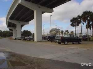
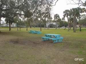
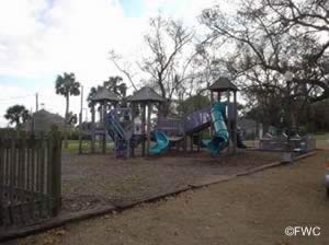
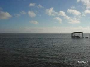
Carrabelle City Boat Ramp
400 Avenue A North
Carrabelle, FL 32322
The above address does not always populate well into searches.
GPS 29° 51'10.03" N 84° 40'05.23" W
( Entrance )
GPS 29° 51'08.02" N 84° 40'05.28" W
( Waters edge at ramp )
Go to map of boat ramps in Franklin County
NOAA Carrabelle River, St. George, FL 8728464
|
|
|
Carrabelle Marine Street Public Boat Ramp
400 Southeast Marine Street
Carrabelle, FL 32322
The above address does not always populate well into searches.
GPS 29° 50'47.46" N 84° 39'49.50" W
( Entrance )
GPS 29° 50'47.37" N 84° 39'51.80" W
( Waters edge at ramp )
Go to map of boat ramps in Franklin County
NOAA Carrabelle River, St. George, FL 8728464
|
|
|
Located along the Carrabelle River close to St George Sound the Carrabelle Marine Steet Public boat ramp offers; 2 lane ramp, courtesy docks, fish cleaning tables and parking around various areas for about 25 boat trailers.
Cow Creek Boat Ramp / Hand Launch
Closest intersection is;
Sopchoppy Highway & Rio Vista Drive
Sopchoppy, FL 32358
Boat ramp is 9/10ths of a mile down Rio Vista Drive, just after 90° bend.
GPS 29° 59'09.47" N 84° 29'17.51" W
( Waters edge at ramp )
NOAA Ochlockonee River State Park, FL 8728351
|
|
|
Doyle Creek Boat Ramp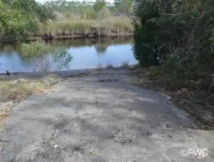 Closest intersection to ramp is;
North Shore Bay Road & Sand Beach Road
Eastpoint, FL 32328
Entrance to ramp area is 3/10ths of a mile east on North Bay Shore Road from the above intersection.
GPS 29° 49'25.23" N 84° 54'15.68" W
( Waters edge at ramp )
Go to map of boat ramps in Franklin County
NOAA Apalachicola 8728690
|
|
|
East River Landing - Butcher Pen Landing Hand Launch
GPS 29° 48'11.85" N 84° 58'01.60" W
Sand / gravel ramp, parking for about 6 vehicles. No restrooms or other amenities at this location.
Gardner Landing Boat Ramp
Closest intersection to entrance is;
Tower Road & North Bay Shore Road
Eastpoint, FL 32328
About 5 miles west on North Bay Shore, Gardner Road will be on your left.
GPS 29° 49'02.58" N 84° 59'14.59" W
( Waters edge at ramp )
Go to map of boat ramps in Franklin County
NOAA Apalachicola River, North, FL 8728715
|
|
|
Indian Creek Park Boat Ramp ~ Old Ferry Dock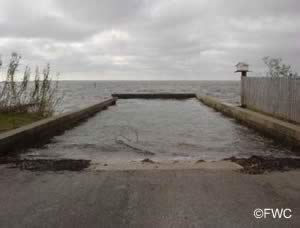 Old Ferry Dock Road
Eastpoint, FL 32328
GPS 29° 44'17.44" N 84° 54'01.66" W
( Waters edge at ramp )
Go to map of boat ramps in Franklin County
NOAA Apalachicola, FL 8728690
|
|
|
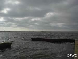
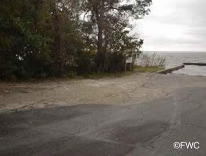
Ochlockonee Bay Bridge Boat Ramp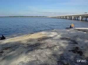 Southwest end of the Ochlockonee Bay Bridge
St Teresa, Fl 32323
GPS 29° 57'40.26" N 84° 23'05.63" W
( Waters edge at ramp )
GPS 29° 57'34.66" N 84° 23'05.72" W
( Entrance off US 98 )
Go to map of boat ramps in Franklin County
|
|
|
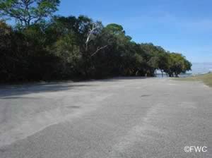
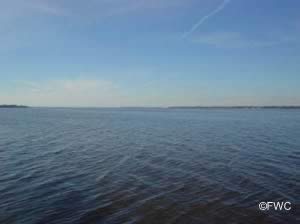
Ochlockonee State Park Boat Ramp ~ Actually Wakulla County
Sopchoppy Highway & Ochlocknee River State Park
Sopchoppy, FL 32322
6.3 miles north on 377 from the intersection of 377 and 98 entrance is on the right.
GPS 29° 59'59.65" N 84° 30'14.31" W
( Entrance )
GPS 29° 59'57.42" N 84° 28'50.17" W
( Waters edge at ramp )
NOAA Apalachicola, FL - Station ID: 8728690
|
|
|
Rock Landing at Crooked River Boat Ramp
Closest documented cross streets are;
Jeff Sanders Road & Route 67
Carrabelle, Fl 32322
Take Jeff Sanders approxiametely 5¼ miles and then turn left on Rock Landing Road, boat ramp is 4/10ths of a mile down.
GPS 29° 58'46.03" N 84° 34'05.79" W
( Waters edge at ramp )
Go to map of boat ramps in Franklin County
NOAA Bald Point Ochlockonee Bay 8728237
|
|
|
St. George Island Bridge South / East Side Boat Ramp
32328
GPS 29° 40'21.62" N 84° 52'05.88" W
( Entrance )
NOAA Cat Point, Apalachicola Bay, FL 8728619
|
|
|
The "new" boat ramp on the south / east side of the St George island bridge offers; Single launching lane, no courtesy docks per se, parking for about 15-18 boat trailers depending on parking techniques used and a portolet in the parking lot.
A Fishing pier on site also.
St. George Island Bridge East Side Boat Ramp / Old Area / Silted In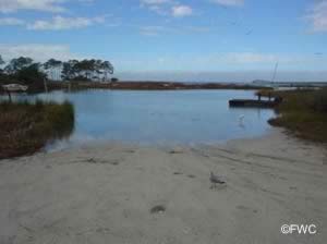
GPS 29° 40'00.45" N 84° 51'51.92" W
( Waters edge at old ramp )
Go to map of boat ramps in Franklin County
St. George Island State Park Boat Ramp 1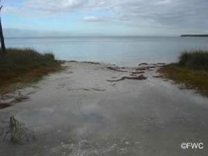 1900 E. Gulf Beach Drive
St. George Island, Florida 32328
GPS 29° 41'39.18" N 84° 47'18.60" W
( Waters edge at ramp )
GPS 29° 41'05.34" N 84° 47'42.36" W
( State Park entrance )
Go to map of boat ramps in Franklin County
Once you go through the gate at the parks entrance the access road to this ramp is about 7/10ths of a mile down on the left. Go down this access road about 4/10ths of a mile to the ramp area.
The St. George Island State Park ramp 1 offers; Primitive sand ramp suitable for small boats / kayaks, no courtesy docks, parking for about 10 vehicles with trailers and restrooms / portolets.
|
|
|
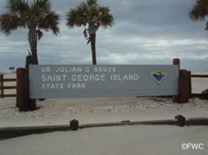
St. George Island State Park Boat Ramp 2
1900 E. Gulf Beach Drive
St. George Island, Florida 32328
GPS 29° 41'58.28" N 84° 46'06.74" W
( Waters edge at ramp )
GPS 29° 41'05.34" N 84° 47'42.36" W
( State Park entrance )
Go to map of boat ramps in Franklin County
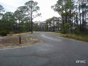
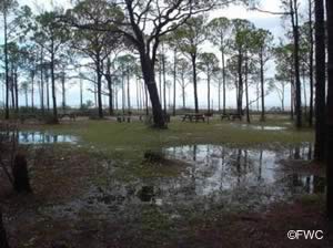
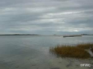
Once you go through the gate at the parks entrance the access to this ramp is about 1.9 miles down on the left.
The St. George Island State Park ramp 1 offers; Primitive sand ramp suitable for small boats / kayaks, no courtesy docks and parking for about 10 vehicles with trailers.
|
|
|
St. Teresa / Alligator Point Wayside Boat Ramp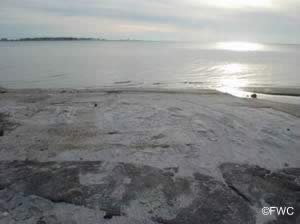 1.5 miles east of the intersection of;
Bay North Drive & US 98
Carrabelle, Fl 32346
On US 98
GPS 29° 55'25.14" N 84° 24'50.17" W
( Waters edge at ramp )
Go to map of boat ramps in Franklin County
The St. Teresa / Alligator Point Wayside boat ramp offers; primitive sand ramp suitable for small boats / kayaks and parking for a few vehicles with trailers. No other amenities at this location.
|
|
|
Seafood Landing Park
Closest intersection is;
Pal Rivers Road & US 98
Apalachicola, FL 32320
Almost across street from above intersection
GPS 29° 42'46.43" N 85° 01'14.71" W
( Waters edge at ramp )
|
|
|
The Seafood Landing Park boat ramp offers; Single launching lane, courtesy dock, parking for 12-15 boat trailers and small picnic pavilions. Unsure of restroom situation here.
Sun N Sands Boat Ramp
Sun N Sands Boulevard & Mariner Circle
Carrabelle, Fl 32346
GPS 29° 54'42.88" N 84° 22'03.63" W
( Waters edge at ramp )
Go to map of boat ramps in Franklin County
NOAA Alligator Point 8728288
|
|
|
The Sun N Sands boat ramp offers; Sand launching ramp suitable for smaller boats, no courtesy docks, parking for boat trailers along Sun N Sand Boulevard and Alligator Drive with respect to driveways. No restrooms at this location.
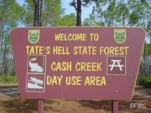
Tates Hell State Forest / Cash Creek Boat Ramp
Approx 4.2 miles north on Route 65 from the intersection of;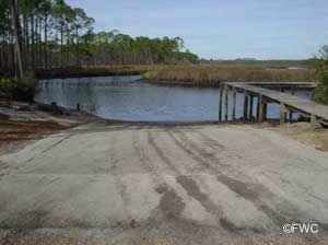 Route 65 & US 98
Eastpoint, FL 32328
GPS 29° 49'00.15" N 84° 50'12.80" W
( Waters edge at ramp )
GPS 29° 48'52.78" N 84° 50'42.75" W
( Entrance off Route 65 )
Go to map of boat ramps in Franklin County
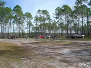
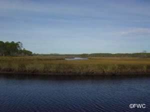
Along High Bluff Creek, single lane ramp, courtesy dock, picnic pavilion and parking for about 15 boat trailers and restrooms.
|
|
|
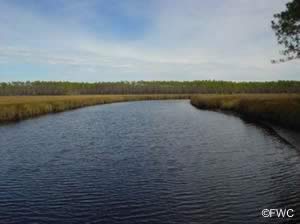
Timber Island Boat Ramp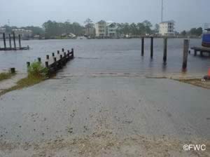 Just east of the intersection of;
Graham Drive & Timber Island Road
Carrabelle, FL 32322
On Timber Island Road
GPS 29° 50'45.56" N 84° 39'57.88" W
( Waters edge at ramp )
Go to map of boat ramps in Franklin County
NOAA Carrabelle River, St. George 8728464
|
|
|
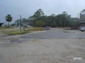
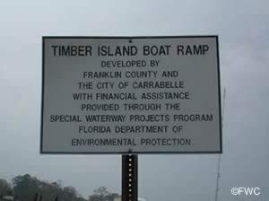
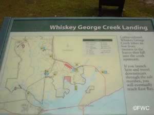
Whiskey George Creek Boat Ramp
 Closest cross streets are;
Route 65 & Tower Road
Eastpoint, FL 32328
Entrance is 6/10ths of a mile west on Route 65 / North Shore Bay Road from the above.
GPS 29° 49'32.46" N 84° 53'52.56" W
( Waters edge at ramp )
GPS 29° 49'35.50" N 84° 53'55.91" W
( Entrance off route 65)
Go to map of boat ramps in Franklin County
|
|
|
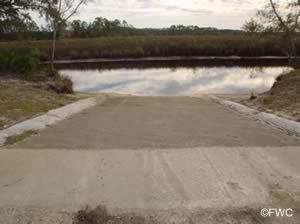
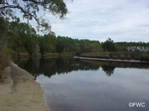
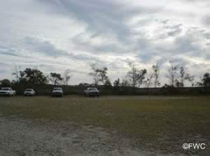
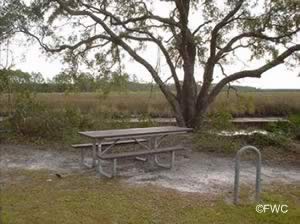
Along Whiskey George Creek this facility offers; 2 lane ramp, hand launching of kayaks &
canoes and parking for about 35-40 boat trailers.
Useful Links
| Public Boat Ramps & Hand Launches in Franklin County Florida |
|
|
| Areas in Franklin County Florida Include; Alligator Point, Apalachicola, Bald Point, Carrabelle, Eastpoint, Lanark Village and St. Teresa. |
| Areas of Salt and Brackish Water in Franklin County Florida Include; Acorn Lake Creek, Alligator Harbor, Apalachicola Bay, Bear Creek, Big Bay, Big Bayou, Blounts Bay, Carabelle River, Cash Creek, Chipley Creek, Crooked River, Dickerman Cut, East Bay, East River, False River, Grassy Creek, Gulf of Mexico, Jackson River, Little River, Little St Marks River, New River, New River bayou, Ochlockonee Bay, Ochlockonee River, Postum Bayou, Sams Creek Cutoff, Scipio Creek, St George Sound, St Vincent Sound, West Bayou and Whiskey George Creek. |
![]() Home
Home ![]() About
About ![]() Sitemap
Sitemap ![]() Credits
Credits
![]() Privacy
Privacy ![]() Advertise
Advertise ![]() Contact
Contact ![]()
