National Parks
and
State Parks
in
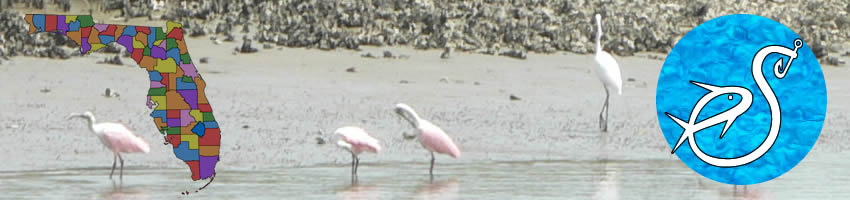
Miami-Dade County, Florida
Seach our site below
Bill Baggs Cape Florida State Park 1200 South Crandon Boulevard
Key Biscayne, FL 33149
GPS 25° 40'45.85" N 80° 09'27.91" W
( Entrance )
|
|
Go to map of National and State Parks in
Miami ~ Dade County.
Bill Baggs State Park offers; Fishing, kayaking, canoeing, swimming, snorkeling, sunbathing, hiking, beachcombing, wildlife, lighthouse, showers, restrooms, youth camping, bicycling and picnicking.


Biscayne National Park
GPS
NOAA Elliott Key Harbor, Elliott Key, FL 8723409
Go to map of National and State Parks in
Miami ~ Dade County.
Map of Key Biscayne National Park
Oleta River State Park 3400 Northeast 163rd Street
North Miami, FL 33160
GPS 25° 55'40.02" N 80° 08'10.31" W
( Entrance )
|
|
|
Go to map of National and State Parks in
Miami ~ Dade County.
Map of Oleta State Recreation Area
Oleta River State Park is located on Biscayne Bay in the Miami metropolitan area. A variety of recreational opportunities are offered. Along the Oleta River, at the north end of the park, a large stand of beautiful mangrove forest preserves native South Florida plants and wildlife. Kayakers and Canoeists can paddle the river to explore and or fish this amazing natural area. Swimming at the 1,200-foot sandy beach and saltwater shore fishing are also popular activities. Picnic tables and grills are available. Nine pavilions can be rented for a fee. All have water, and the largest one has electricity.


Useful Links
| Salt or Brackish Water Recreation at National, State Parks in Miami - Dade County, Florida |
|
|
| Areas in Miami ~ Dade County Florida include; Alameda, Allapattah, Andover, Atlantic Heights, Aventura, Bal Harbour, Bay Harbor Islands, Biscayne Park, Brownsville, Buena Vista, Bunche Park, Carol City, Coconut Grove, Coral Gables, Coral Terrace, Country Club, Country Walk, Cutler, Cutler Bay, Cutler Ridge, Doral, East Perrine, Eastern Shores, Edison Center, El Portal, Fisher Island, Florida City, Fountainebleau, Gables by the Sea, Gables Estates, Gladeview, Glenvar Heights, Golden Beach, Golden Glades, Goulds, Hialeah, Hialeah Gardens, Homestead, Indian Creek Village, Islandia, Ives Estates, Kendale Lakes, Kendall, Key Biscayne, Keystone Islands, Lake Lucerne, Lakes by the Bay, Leisure City, Lemon City, Liberty Square, Lindgren Acres, Little River, Ludlam, Medley, Miami, Miami Beach, Miami Gardens, Miami Lakes, Miami Shores, Miami Springs, Naranja, Norland, North Bay Village, North Miami, North Miami Beach, Ojus, Olympia Heights, Opa-locka, Palm Springs Estates, Palmetto Bay, Palmetto Estates, Perrine, Pinecrest, Pinewood, Princeton, Richmond Heights, San Souci Estates, Scott Lake, Shenandoah, South Miami, South Miami Heights, Sunny Isles Beach, Sunset, Surfside, Sweetwater, Tamiami, The Crossings, The Hammocks, Three Lakes, University Park, Virginia Gardens, West Little River, West Miami, West Perrine, Westchester and Westview. |
| Areas of Salt and Brackish Water Miami ~ Dade County Florida include; Atlantic Ocean, Biscayne Bay, Card Sound, Indian Creek, Intracoastal Waterway, Little Card Sound, Normandy Waterway, Snapper Creek Canal and Tatum Waterway. |
![]() Home
Home ![]() About
About ![]() Sitemap
Sitemap ![]() Credits
Credits
![]() Privacy
Privacy ![]() Advertise
Advertise ![]() Contact
Contact ![]()