Broward County, Florida ~ Boat Ramps & Hand Launches
- National &
State Parks - County &
City Parks - Beaches
Broward - Boat Ramps
Broward - Fishing Piers
Broward - Map of
Boat Ramps - Boat Ramps
Adjoining
Counties
Public Boat Ramps in Dania Beach, Fort Lauderdale, Hollywood & Wilton Manors, Florida
Seach our site below
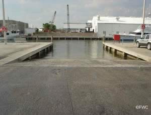
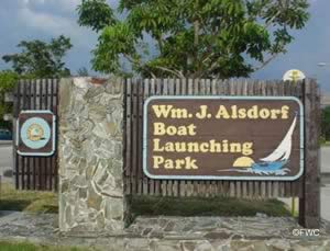
Alsdorf Park Boat Ramp ~ AKA 14th Street Ramp
 2815 Northeast 14th Street Causeway
Pompano Beach, FL 33062
Open 24 hours
Metered parking via stub dispensing machine.
GPS 26° 15'07.12" N 80° 05'30.27" W
( Waters edge at ramp )
GPS 26° 15'01.26" N 80° 05'32.74" W
( Entrance )
|
|
|
Go to map of boat ramps in Broward County
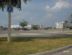
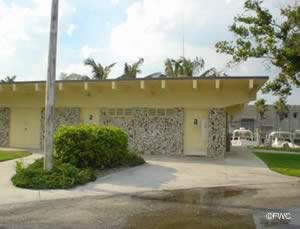
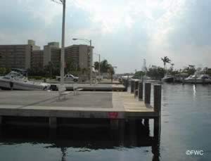
The Alsdorf Park Boat Ramp ~ AKA 14th Street Ramp offers; single wide launching lane, parking for about 108 vehicles with trailers & restrooms.

Colohatchee Park and Boat Ramp and Hand Launch
 Closest cross streets are;
Northeast 15th Avenue & Northeast 21st St.
Wilton Manors, FL 33305
Boat ramp area is 550' south on NE 15th
from the above intersection.
GPS 26° 09'14.27" N 80° 07'43.23" W
( Waters edge at ramp )
|
|
|
Go to map of boat ramps in Broward County
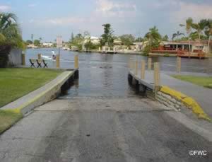
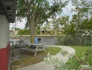
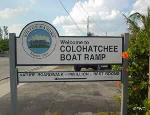
Operated by the City of Wilton Manors the Colohatchee Park and boat ramp offers; single lane boat ramp, courtesy dock, 7 boat trailer parking spaces, hand launching of kayaks or canoes, benches, picnic tables and restrooms. Across the street is a continuation of the park which has a elevated walkway through a Mangrove preserve. Located at the back of the park in this area is a dog park ( key fob and permit required ), picnic pavilion and restrooms.

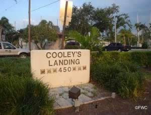
Cooley's Landing Park Boat Ramp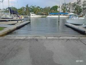 450 Southwest 7th Avenue
Fort Lauderdale, FL 33312
Ramp is open 24 hours
1-954-828-5423
GPS 26° 07'00.65" N 80° 08'58.82" W
( Waters edge at ramp )
|
|
|
Go to map of boat ramps in Broward County
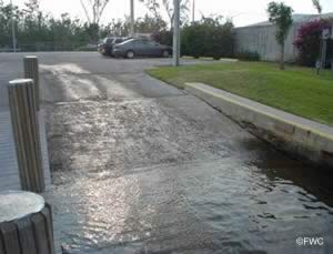
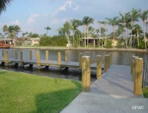
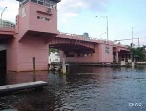
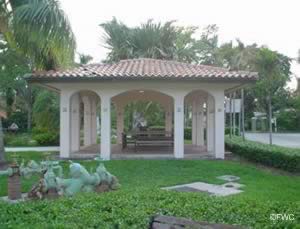
The boat launch at Cooley's Landing in Fort Lauderdale Florida sits on 3 acres and offers; 3 seperate ramps, courtesy docks, 22 marked spots for trailer parking, and restrooms. Parking fees are payable via a kiosk system. Cooley's Landing is also a great spot to begin your walk along the New River and enjoy a variety of dining and shopping choices. Shoreline fishing and picnic pavilion are on site too.

Cox's Landing ~ 15th Street Boat Ramp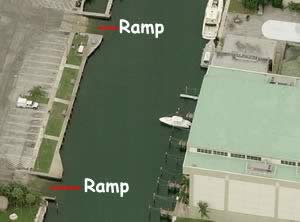 1784 Southeast 15th Street
Fort Lauderdale, FL 33316
GPS 26° 06'10.45" N 80° 07'21.10" W
( Waters edge at ramp )
|
|
|
Go to map of boat ramps in Broward County
Parking permit required, 1-954-828-3700 ~ 290 NE 3rd Avenue, Fort Lauderdale, FL
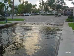
The Southeast 15th Street boat ramp area in Fort Lauderdale offers; 4 launching lanes, 63 spaces ( max 48 hours ), courtesy docks, picnic tables, fish cleaning station and restrooms.

George English Park Boat Ramps
 1101 Bayview Drive
Fort Lauderdale, FL 33304
GPS 26° 08'19.75" N 80° 07'00.61" W
( Waters edge at ramp )
GPS 26° 08'22.28" N 80° 06'53.80" W
( Entrance )
|
|
|
Go to map of boat ramps in Broward County
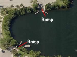
George English Park boat ramp sits on 19.7 acres along a Middle River alcove. Easily reachable from Lake Ridge, Lazy Lake and Oakland Park. George English offers easy access to the Intracoastal Waterway and beyond. The Port Everglades Inlet is about 5 miles away via the water. The area has 2 lane launching ramp, courtesy docks, 68 boat trailer parking spaces ( max 48 hours ), picnic tables, playground, pavilion, sport fields and restrooms.
Hand launch your canoe or kayak at George English.

Griffin Marine Park Boat Ramp
Closest intersection is;
SW 45th Street & Hidden Harbour Court
Dania Beach, FL 33312
Entrance is basically at this intersection.
Open 6:00 a.m. - 8:00 p.m.
GPS 26° 04'03.38" N 80° 10'55.65" W
( Waters edge at ramp )
|
|
|
Go to map of boat ramps in Broward County
Griffin Marine Park boat ramp operated by The City of Dania Beach is along a Dania Cutoff Canal and offers. 2 launching lanes, courtesy docks & paved parking for 10 boat trailers. No restrooms at this location.

Harbor Town Marina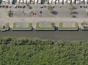 801 Northeast 3rd Street
Dania Beach, FL 33004
(954) 926-0300 ( Westrec Management )
Hours 24 / 7
GPS 26° 03'29.35" N 80° 07'39.44" W
( Waters edge at ramp )
|
|
|
Go to map of boat ramps in Broward County
Harbor Town Marina in Dania Beach offers; 4 separate launching lanes, courtesy docks, 67 trailer parking spaces, rinsing showers, fish cleaning table, fuel dock, bait and restrooms.

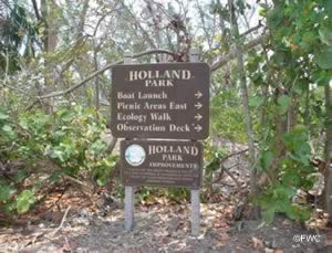
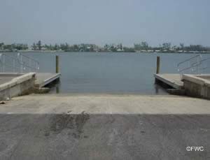
Holland Park Boat Ramp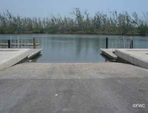 801 Johnson Street
Hollywood, FL 33019
GPS 26° 01'12.29" N 80° 07'10.30" W
( Waters edge at ramp )
GPS 26° 01'09.97" N 80° 07'15.54" W
( Entrance )
|
|
|
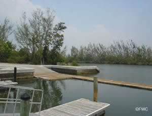
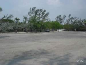
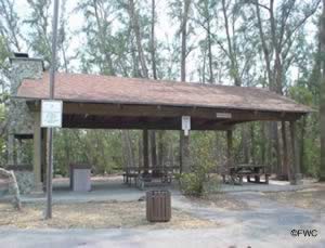
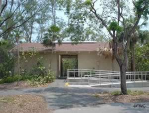
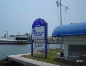
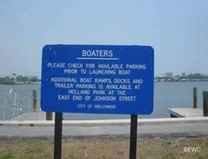
Holland Park usually opens at 6:00am on weekends and holidays and offers; 3 launching lanes, 30+/- trailer parking spaces, courtesy docks, picnic pavilion, grill and restrooms. Parking fee is payable at the kiosk.

Hollywood Marina Boat Ramp
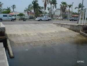
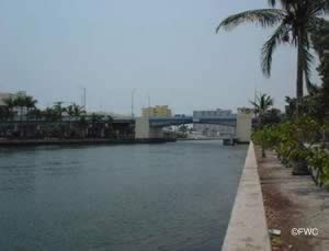
 700 Polk Street
Hollywood, FL 33019
1-954-921-3035
GPS 26° 00'51.53" N 80° 07'17.90" W
( Waters edge at ramp )
|
|
|
Go to map of boat ramps in Broward County
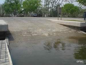
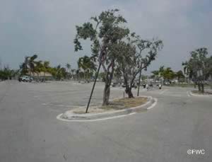
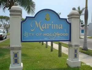
The Hollywood Marina boat ramp offers; 4 launching lanes, about 38 boat trailer parking spaces are 600' east on Polk Street, courtesy docks, fuel during normal business hours and restrooms. Parking fee is charged at the lot across the street. Do not park along the street, vehicles will be ticketed or towed.

Island City Park Preserve Hand Launch
823 Northeast 28th Street
Wilton Manors, FL 33334
GPS 26° 09'48.58" N 80° 08'08.10" W
( Hand launch )
GPS 26° 09'44.95" N 80° 08'08.75" W
( Entrance )
|
|
|
Go to map of boat ramps in Broward County
Located along the North Fork of the Middle River Island City Preserve offers; Hand launch, fishing pier along the shore, 3 pavilions, playgound and restrooms.

John U. Lloyd State Park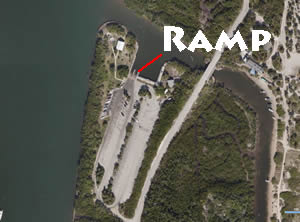 6503 North Ocean Drive
Dania Beach, FL 33004
GPS 26° 04'52.80" N 80° 06'44.98" W
( Waters edge at ramp )
GPS 26° 03'34.03" N 80° 06'48.97" W
( Entrance )
|
|
|
Go to map of boat ramps in Broward County
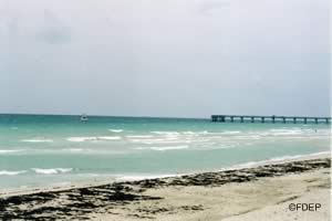
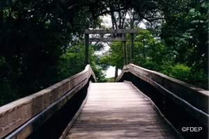
John Lloyd State Park ramp offers; 2 lane launching ramp, courtesy docks, about 100 boat trailer parking spaces ( can fill up quickly on some days ), 300 individual picnic tables around the park, 7 pavilions, picnicking, rinsing showers, playground, hiking, canoeing, kayaking, easy access to the Port Everglades Inlet and restrooms. Other activities available include; Beach access, swimming, sunbathing, shelling, beachcombing, snorkeling, scuba diving, surf fishing, fishing at the jetty and wildlife viewing.

Oakland Park ~ Cherry Creek Boat Ramp
 Closest intersection is;
E Oakland Park Boulevard & NE 12th Terrace
Oakland Park, FL 33306
2/10ths of a mile south on NE 12th Terrace from the above intersection
GPS 26° 09'51.38" N 80° 07'49.37" W
( Waters edge at ramp )
|
|
|
Go to map of boat ramps in Broward County
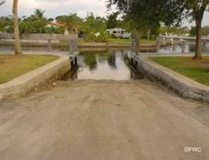
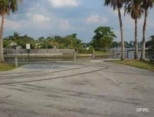
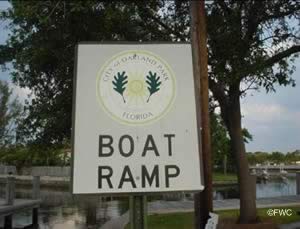
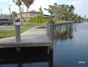
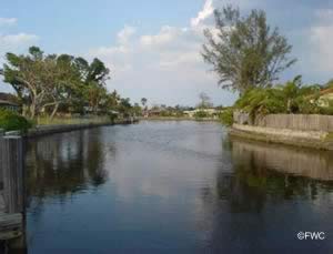
Oakland Park boat ramp is convenient to Lazy Lake, Oakland Park and Fort Lauderdale. The single launching lane ramp with courtesy dock is along the North Fork of the Middle River and allows access to the ICW. The park has a couple of picnic tables, no restrooms and the parking is fairly limited. Hand launch your canoe or kayak at this location.

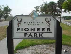
Pioneer Park and Boat Ramp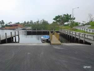 217 Northeast 5th Avenue
Deerfield Beach, FL 33441
GPS 26° 19'19.71" N 80° 05'47.87" W
( Waters edge at ramp )
GPS 26° 19'14.36" N 80° 05'48.32" W
( Entrance )
|
|
|
Go to map of boat ramps in Broward County
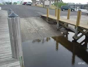
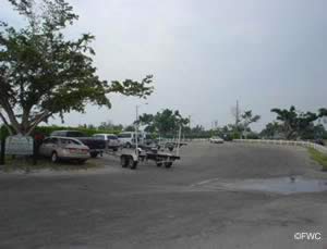
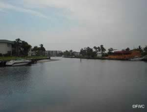
The Pioneer Park boat ramp along the Hillsboro Canal offers; 3 launching lanes, courtesy docks, 21 boat trailer parking spaces, playground and restrooms. Parking fees do apply at this park.
There is a fishing dock on site also.

Richardson Historic Park & Nature Preserve Hand Launch
1937 Wilton Drive
Wilton Manors, FL
Monday - Sunday (Park): 9 a.m. - 6 p.m.
Monday - Thursday (Offices): 9 a.m. - 5 p.m. ( closed Thanksgiving and Christmas )
GPS 26° 09'10.29" N 80° 08'28.28" W
( Entrance )
GPS 26° 09'04.89" N 80° 08'28.23" W
( Hand launch area )
Richardson Historic Park sits on 5.4 acres and offers; river board walk, boat dock, hand launching area, observation pier, a pavilion area, nature trails, restrooms and The Historical Manor House & Carriage House.

Riverland Woods Park Boat Ramp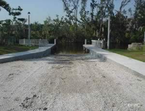 3950 Riverland Road
Fort Lauderdale, FL 33312
1-954-828-7275
Hours: 8am -9pm
GPS 26° 05'16.67" N 80° 12'02.56" W
( Waters edge at ramp )
GPS 26° 05'29.72" N 80° 12'01.57" W
( Entrance )
|
|
|
Go to map of boat ramps in Broward County
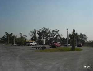
Riverland Woods Park offers; Single lane ramp, courtesy docks, 8 paved boat trailer spaces and playground.

Rotary Park Boat Ramp ~ Small Boats
3150 Taft Street
Hollywood, FL 33021
7:30am - 7:30pm
GPS 26° 01'28.93" N 80° 10'11.44" W
( Waters edge at ramp )
|
|
|
Go to map of boat ramps in Broward County
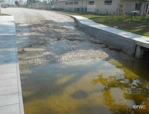
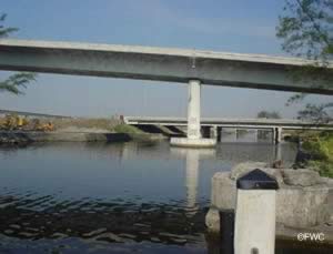
The Rotary Park boat ramp offers; single launching lane, courtesy dock and about 5 parking spaces. No restrooms at this facility. The Intracoastal is about 5.5 miles via the water from here. Small boats only, due mostly to bridge clearances.

Snook Creek Boat Ramp
Closest intersection is;
FL Route 845 & NW 23rd St
Wilton Manors, FL 33331
Park is almost across the road from the above intersection.
FL - 845 is also Powerline Road
GPS 26° 09'22.97" N 80° 09'17.30" W
( Waters edge at ramp )
GPS 26° 09'24.27" N 80° 09'16.44" W
( Entrance )
|
|
|
Go to map of boat ramps in Broward County
The Snook Creek boat ramp offers; Single launching lane, courtesy dock, small covered pavilion and very limited parking. No restrooms at this location.
 Useful Links
| Public Boat Ramps in Broward County Florida |
|
|
| Areas in Broward County Florida include; Coconut Creek, Cooper City, Coral Springs, Dania Beach, Davie, Deerfield Beach, Fort Lauderdale, Hallandale Beach, Hillsboro Beach, Hollywood, Lauderdale by the Sea, Lauderdale lakes, Lauderhill, Lazy Lake, Lighthouse Point, Margate, Miramar, North Lauderdale, Oakland Park, Pembroke Park, Plantation, Pompano Beach, Sea Ranch Lakes, Southwest Ranches, Sunrise, Tamarac, West Park, Weston and Wilton Manors |
| Areas of Salt and Brackish Water Broward County Florida include; Atlantic Ocean, Hillsboro Bay, Intracoastal Waterway, Lake Mabel, Lake Placid, Middle River, North Lake and South Lake. |
![]() Home
Home ![]() About
About ![]() Sitemap
Sitemap ![]() Credits
Credits
![]() Privacy
Privacy ![]() Advertise
Advertise ![]() Contact
Contact ![]()
